• Home
  • Search
  • Browse Collections
  • My Account
  • About
  • DC Network Digital Commons Network™
Skip to main content
Cornerstone: A Collection of Scholarly and Creative Works for Minnesota State University, Mankato
  • Home
  • About
  • FAQ
  • My Account

Home > MAPS > MAPS-MNDOT7-AIR-PHOTOS > MNDOT7-1977-77S-28

1977 Aerial Survey Project No. 77S-28 (ELH)

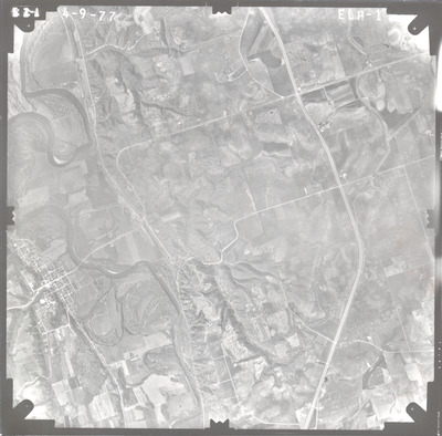
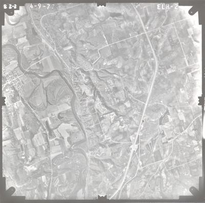
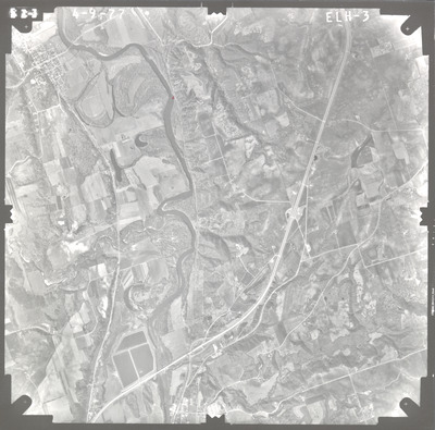
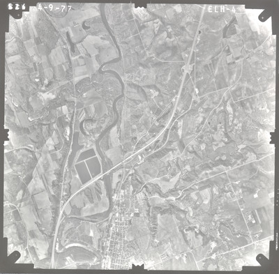
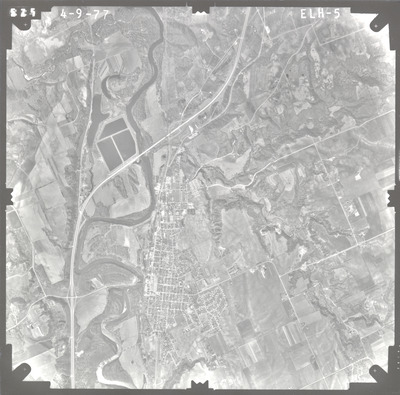
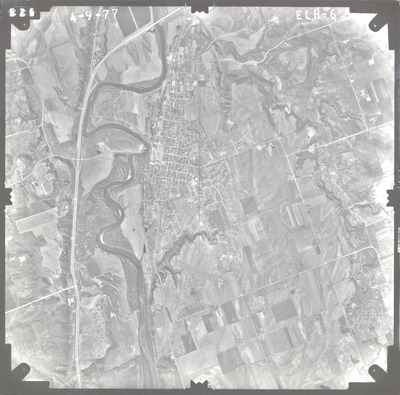
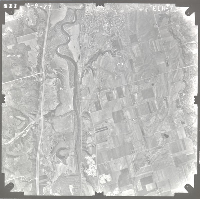
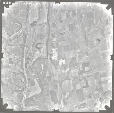
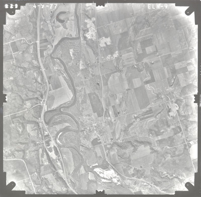
Aerial survey project no. 77S-28 was flown on April 9, 1977. These photos are a verbal scale of 1"=2,500'. The flight line provides coverage for highway 93 and Le Sueur.

Printing is not supported at the primary Gallery Thumbnail page. Please first navigate to a specific Image before printing.

Follow

Switch View to List View Slideshow
 
  • ELH-1 by Mark Hurd Aerial Surveys, Inc. Minneapolis, Minnesota

    ELH-1

  • ELH-2 by Mark Hurd Aerial Surveys, Inc. Minneapolis, Minnesota

    ELH-2

  • ELH-3 by Mark Hurd Aerial Surveys, Inc. Minneapolis, Minnesota

    ELH-3

  • ELH-4 by Mark Hurd Aerial Surveys, Inc. Minneapolis, Minnesota

    ELH-4

  • ELH-5 by Mark Hurd Aerial Surveys, Inc. Minneapolis, Minnesota

    ELH-5

  • ELH-6 by Mark Hurd Aerial Surveys, Inc. Minneapolis, Minnesota

    ELH-6

  • ELH-7 by Mark Hurd Aerial Surveys, Inc. Minneapolis, Minnesota

    ELH-7

  • ELH-8 by Mark Hurd Aerial Surveys, Inc. Minneapolis, Minnesota

    ELH-8

  • ELH-9 by Mark Hurd Aerial Surveys, Inc. Minneapolis, Minnesota

    ELH-9


Search

Advanced Search

  • Notify me via email or RSS

Author Corner

  • All Authors
  • Author FAQ
  • Submit Research

University Resources

  • ARCH: University Archives Digital Collections
  • Library Services
  • Minnesota State University, Mankato
  • Contact Us
Minnesota State University Mankato Minnesota State
 
Elsevier - Digital Commons

Home | About | FAQ | My Account | Accessibility Statement

Privacy Copyright