
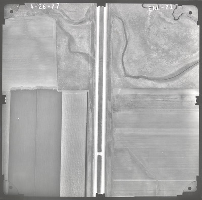
Photo Title
ENL-021
Preview
Flight Code
ENL
Date Flown
Spring 4-26-1977
Aerial Survey Project No. (A.S.P. No.)
77S-40
County
Rock
Trunk Highway (T.H.)
I-90
Location
West State Line to the E. Rock Co. Line
Center Latitude
43°38'15.71"N
Center Longitude
96° 6'28.31"W
Scale
1''=250'
Flight Height
1500
Work Order No.
68
Agreement No.
58318
State Project No.
6780
Focal Length
152.47 mm
Physical Format
Black and White Physical Aerial Photograph
Dimensions
9 x 9
Item Type
Still Image
Collection Name
Minnesota Department of Transportation District 7 Air Photo Collection, 1957-2006
Contributing Organization
Dr. Mary T. Dooley Map Library, Memorial Library, Minnesota State University, Mankato, P.O. Box 8419, Mankato, MN 56002-8419
Contact Information
Dr. Mary T. Dooley Map Library, Memorial Library, Minnesota State University, Mankato, P.O. Box 8419, Mankato, MN 56002-8419
Creative Commons License

This work is licensed under a Creative Commons Attribution-NonCommercial 4.0 International License
Scanning Center
Dr. Mary T. Dooley Map Library, Memorial Library, Minnesota State University, Mankato, P.O. Box 8419, Mankato, MN 56002-8419
Object File Name
MnDOT_1977_77S-40_ENL-21.tif
Date Digital
2022-06-28
Item Digital Format
Image/tiff
Master File Format
Image/tiff
Master File Size
94026298
Master File Bit Depth
24
Master File Resolution
800 dpi
Master File Width
7552
Master File Height
7481
Master File Hardware
Epson Expression 10000XL
Master File Software
VueScan
Master File System
Windows 10
Master File Checksum
b563586dafbf31eac83195f356bc8feb
Keywords
mndot, air photos, aerial photography, 1977, stream, marsh

