
Photo Title
FHO-33
Preview
Flight Code
FHO
Date Flown
Spring 4-26-1979
Aerial Survey Project No. (A.S.P. No.)
79S-12
County
Blue Earth
Trunk Highway (T.H.)
68
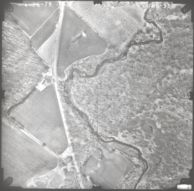
Location
Bridge 5435 over Little Cottonwood River, N.W. of Cambria
Center Latitude
44°14'18.15"N
Center Longitude
94°21'16.59"W
Scale
1''=250'
Flight Height
1500
Notes
Note on front includes pencil lines drawn down the center of the photo, both vertical and horizontal, to find the principal point. There is an added line at an angle from the principal point.
Work Order No.
44
Agreement No.
59194
State Project No.
0710-22
Lens Serial Number
98183
Focal Length
152.465 mm
Physical Format
Black and White Physical Aerial Photograph
Dimensions
9 x 9
Item Type
Still Image
Collection Name
Minnesota Department of Transportation District 7 Air Photo Collection, 1957-2006
Contributing Organization
Dr. Mary T. Dooley Map Library, Memorial Library, Minnesota State University, Mankato, P.O. Box 8419, Mankato, MN 56002-8419
Contact Information
Dr. Mary T. Dooley Map Library, Memorial Library, Minnesota State University, Mankato, P.O. Box 8419, Mankato, MN 56002-8419
Creative Commons License

This work is licensed under a Creative Commons Attribution-NonCommercial 4.0 International License
Scanning Center
Dr. Mary T. Dooley Map Library, Memorial Library, Minnesota State University, Mankato, P.O. Box 8419, Mankato, MN 56002-8419
Object File Name
MnDOT_1979_79S-12_FHO-33.tif
Date Digital
2022-09-26
Item Digital Format
Image/tiff
Master File Format
Image/tiff
Master File Size
96272508
Master File Bit Depth
24
Master File Resolution
800 dpi
Master File Width
7499
Master File Height
7385
Master File Hardware
Epson Expression 10000XL
Master File Software
VueScan
Master File System
Windows 10
Master File Checksum
0ac44f614641b63d8a35e83c6da62d91
Keywords
mndot, air photos, aerial photography, 1979, little cottonwood river, stream, field tiling, wetland

