• Home
  • Search
  • Browse Collections
  • My Account
  • About
  • DC Network Digital Commons Network™
Skip to main content
Cornerstone: A Collection of Scholarly and Creative Works for Minnesota State University, Mankato
  • Home
  • About
  • FAQ
  • My Account

Home > MAPS > MAPS-MNDOT7-AIR-PHOTOS > MNDOT7-1974-74F-25

1974 Aerial Survey Project No. 74F-25 (DOQ)

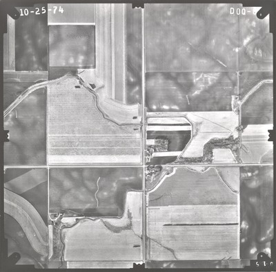
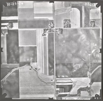
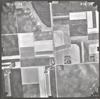
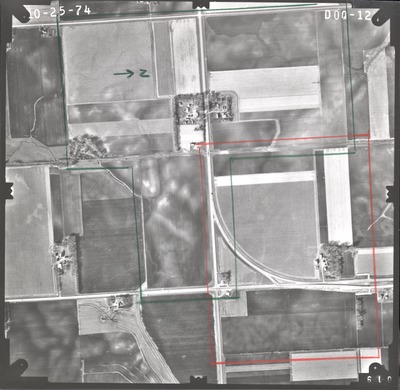
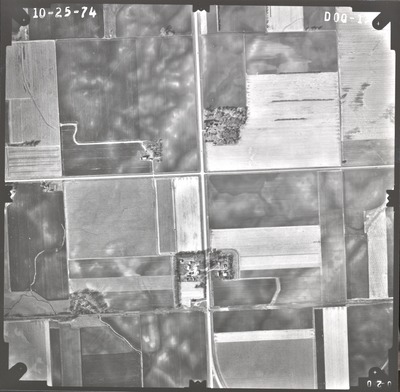
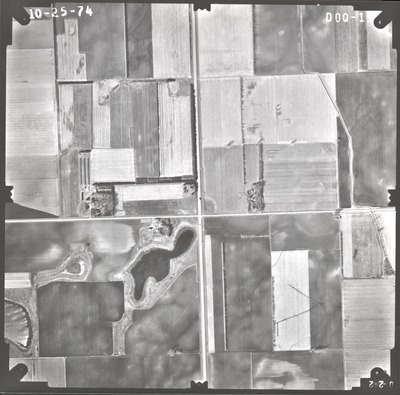
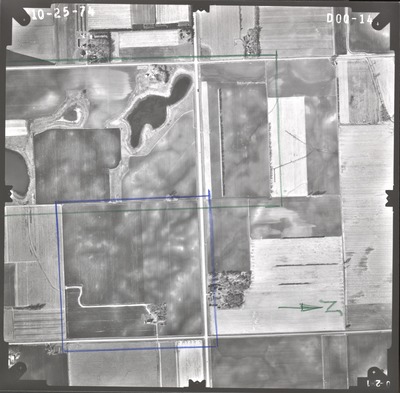
Aerial survey project no. 74F-25 was flown on October 25, 1974. These photos are a verbal scale of 1"=800'. The flight line follows an east-west direction and provides coverage for the junction of highways 15 and 60 south of Madelia.

Printing is not supported at the primary Gallery Thumbnail page. Please first navigate to a specific Image before printing.

Follow

Switch View to List View Slideshow
 
  • DOQ-08 by Mark Hurd Aerial Surveys, Inc. Minneapolis, Minnesota

    DOQ-08

  • DOQ-09 by Mark Hurd Aerial Surveys, Inc. Minneapolis, Minnesota

    DOQ-09

  • DOQ-10 by Mark Hurd Aerial Surveys, Inc. Minneapolis, Minnesota

    DOQ-10

  • DOQ-11 by Mark Hurd Aerial Surveys, Inc. Minneapolis, Minnesota

    DOQ-11

  • DOQ-12 by Mark Hurd Aerial Surveys, Inc. Minneapolis, Minnesota

    DOQ-12

  • DOQ-13 by Mark Hurd Aerial Surveys, Inc. Minneapolis, Minnesota

    DOQ-13

  • DOQ-14 by Mark Hurd Aerial Surveys, Inc. Minneapolis, Minnesota

    DOQ-14

  • DOQ-15 by Mark Hurd Aerial Surveys, Inc. Minneapolis, Minnesota

    DOQ-15


Search

Advanced Search

  • Notify me via email or RSS

Scholar Profiles

  • All Scholar Profiles
  • Scholar Profiles FAQ

Author Corner

  • All Authors
  • Author FAQ
  • Submit Research

University Resources

  • ARCH: University Archives Digital Collections
  • Library Services
  • Minnesota State University, Mankato
  • Contact Us
Minnesota State University Mankato Minnesota State
 
Digital Commons

Home | About | FAQ | My Account | Accessibility Statement

Privacy Copyright