• Home
  • Search
  • Browse Collections
  • My Account
  • About
  • DC Network Digital Commons Network™
Skip to main content
Cornerstone: A Collection of Scholarly and Creative Works for Minnesota State University, Mankato
  • Home
  • About
  • FAQ
  • My Account

Home > MAPS > MAPS-MNDOT7-AIR-PHOTOS > MNDOT7-1977-77S-23

1977 Aerial Survey Project No. 77S-23 (EMN)

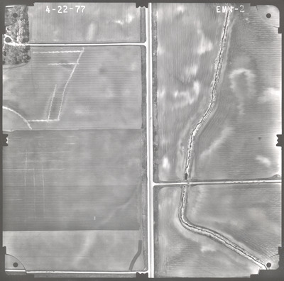
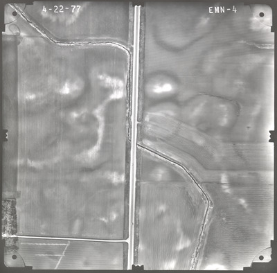
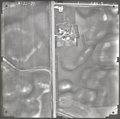
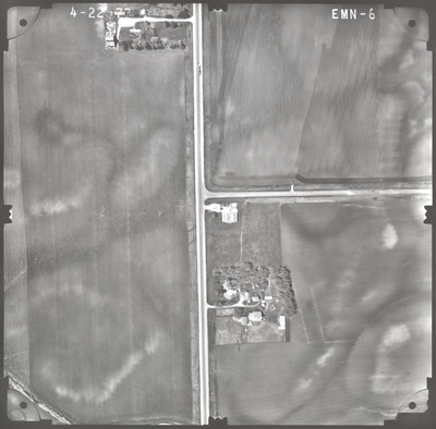
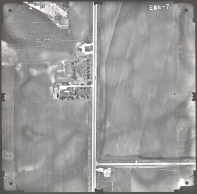
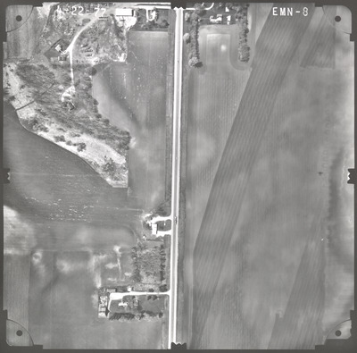
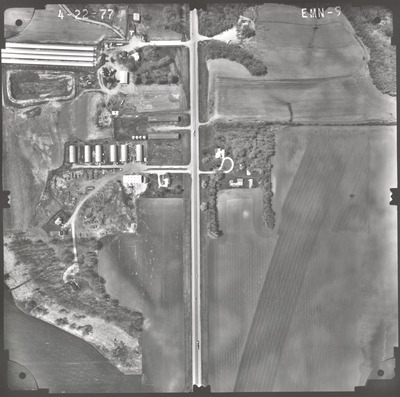
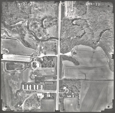
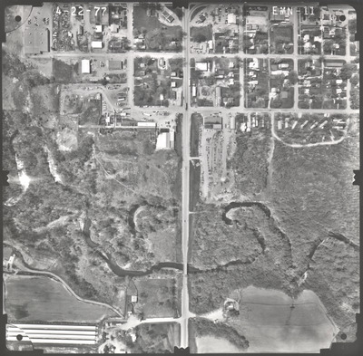
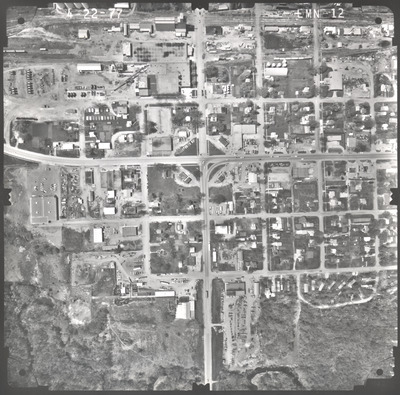
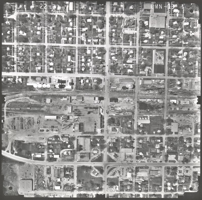
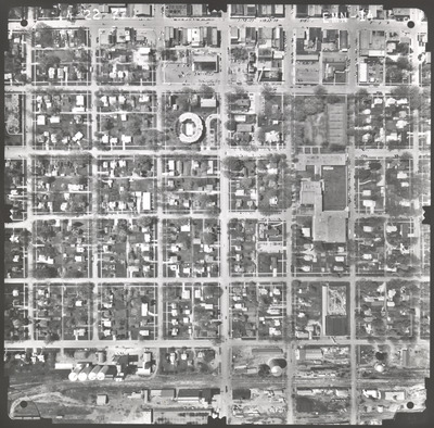
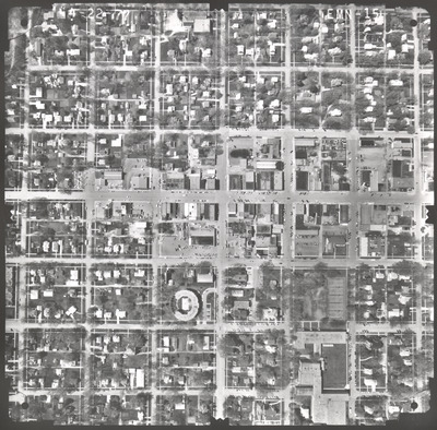
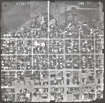
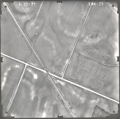
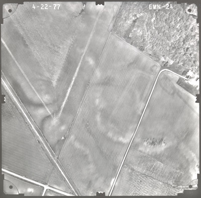
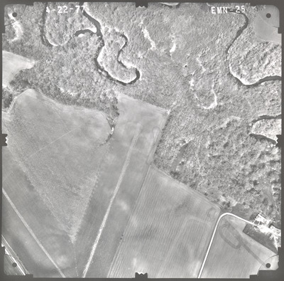
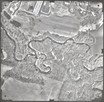
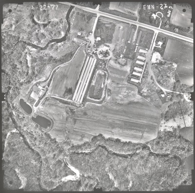
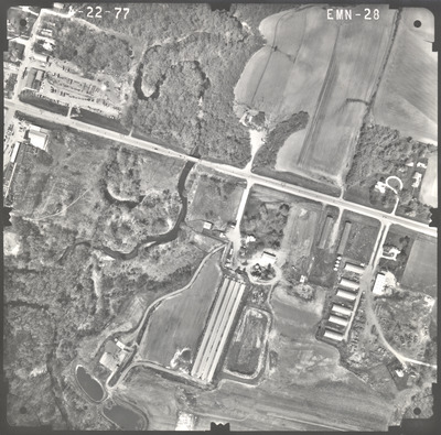
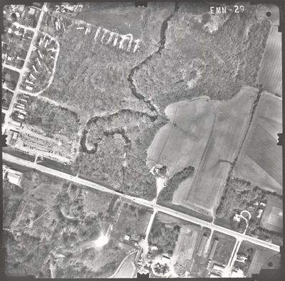
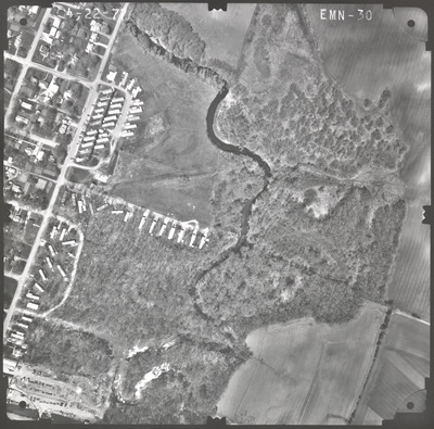
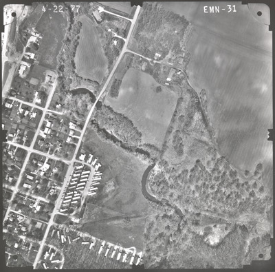
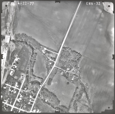
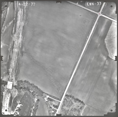
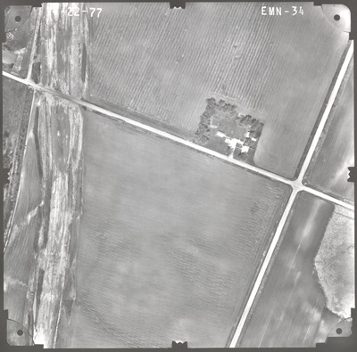
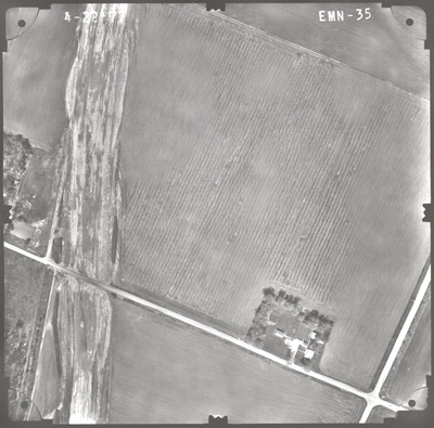
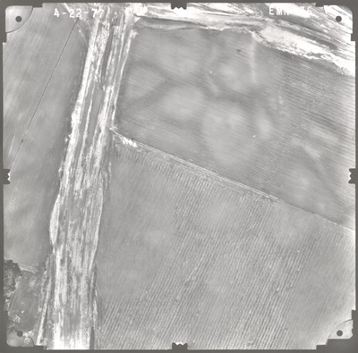
Aerial survey project no. 77S-23 was flown on April 22, 1977. These photos are a verbal scale of 1"=250'. The flight lines provide coverage for highway 16 and bridge 4454 over the Blue Earth River 0.7 miles east of Blue Earth.

Printing is not supported at the primary Gallery Thumbnail page. Please first navigate to a specific Image before printing.

Follow

Switch View to List View Slideshow
 
  • EMN-02 by Mark Hurd Aerial Surveys, Inc. Minneapolis, Minnesota

    EMN-02

  • EMN-03 by Mark Hurd Aerial Surveys, Inc. Minneapolis, Minnesota

    EMN-03

  • EMN-04 by Mark Hurd Aerial Surveys, Inc. Minneapolis, Minnesota

    EMN-04

  • EMN-05 by Mark Hurd Aerial Surveys, Inc. Minneapolis, Minnesota

    EMN-05

  • EMN-06 by Mark Hurd Aerial Surveys, Inc. Minneapolis, Minnesota

    EMN-06

  • EMN-07 by Mark Hurd Aerial Surveys, Inc. Minneapolis, Minnesota

    EMN-07

  • EMN-08 by Mark Hurd Aerial Surveys, Inc. Minneapolis, Minnesota

    EMN-08

  • EMN-09 by Mark Hurd Aerial Surveys, Inc. Minneapolis, Minnesota

    EMN-09

  • EMN-10 by Mark Hurd Aerial Surveys, Inc. Minneapolis, Minnesota

    EMN-10

  • EMN-11 by Mark Hurd Aerial Surveys, Inc. Minneapolis, Minnesota

    EMN-11

  • EMN-12 by Mark Hurd Aerial Surveys, Inc. Minneapolis, Minnesota

    EMN-12

  • EMN-13 by Mark Hurd Aerial Surveys, Inc. Minneapolis, Minnesota

    EMN-13

  • EMN-14 by Mark Hurd Aerial Surveys, Inc. Minneapolis, Minnesota

    EMN-14

  • EMN-15 by Mark Hurd Aerial Surveys, Inc. Minneapolis, Minnesota

    EMN-15

  • EMN-16 by Mark Hurd Aerial Surveys, Inc. Minneapolis, Minnesota

    EMN-16

  • EMN-22 by Mark Hurd Aerial Surveys, Inc. Minneapolis, Minnesota

    EMN-22

  • EMN-23 by Mark Hurd Aerial Surveys, Inc. Minneapolis, Minnesota

    EMN-23

  • EMN-24 by Mark Hurd Aerial Surveys, Inc. Minneapolis, Minnesota

    EMN-24

  • EMN-25 by Mark Hurd Aerial Surveys, Inc. Minneapolis, Minnesota

    EMN-25

  • EMN-26 by Mark Hurd Aerial Surveys, Inc. Minneapolis, Minnesota

    EMN-26

 
  • 1
  • 2


Search

Advanced Search

  • Notify me via email or RSS

Author Corner

  • All Authors
  • Author FAQ
  • Submit Research

University Resources

  • ARCH: University Archives Digital Collections
  • Library Services
  • Minnesota State University, Mankato
  • Contact Us
Minnesota State University Mankato Minnesota State
 
Elsevier - Digital Commons

Home | About | FAQ | My Account | Accessibility Statement

Privacy Copyright