• Home
  • Search
  • Browse Collections
  • My Account
  • About
  • DC Network Digital Commons Network™
Skip to main content
Cornerstone: A Collection of Scholarly and Creative Works for Minnesota State University, Mankato
  • Home
  • About
  • FAQ
  • My Account

Home > MAPS > MAPS-MNDOT7-AIR-PHOTOS > MNDOT7-1986-86F-70

1986 Aerial Survey Project No. 86F-70 (KAA)

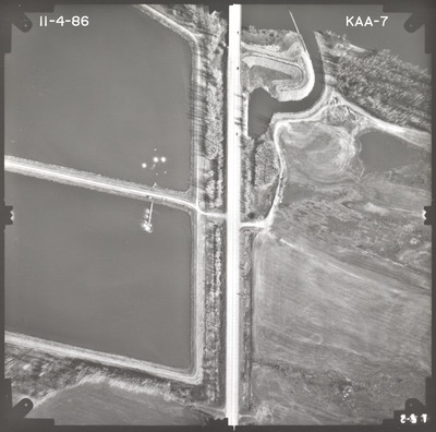
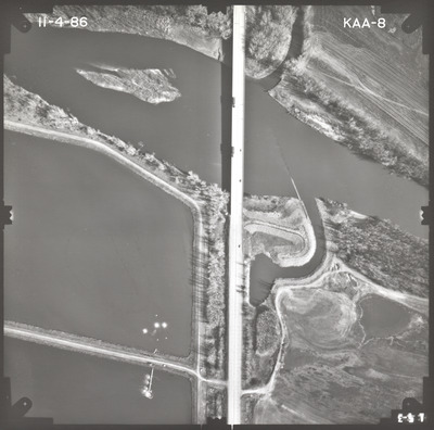
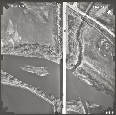
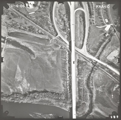
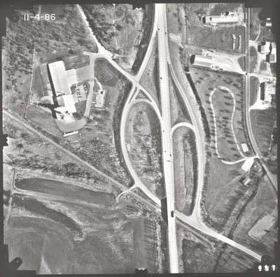
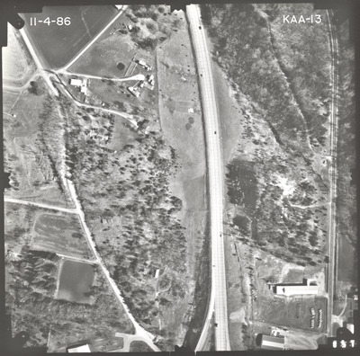
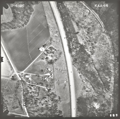
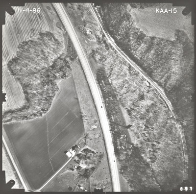
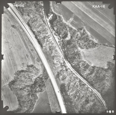
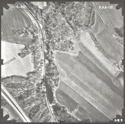
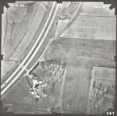
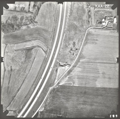
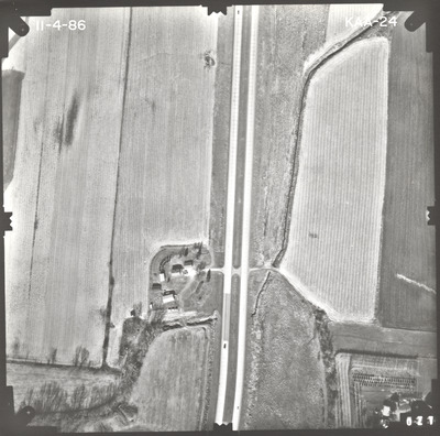
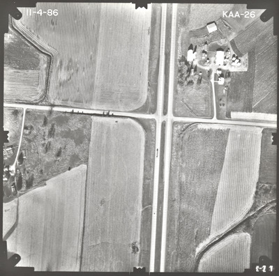
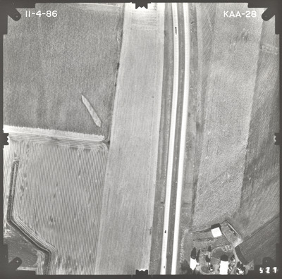
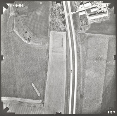
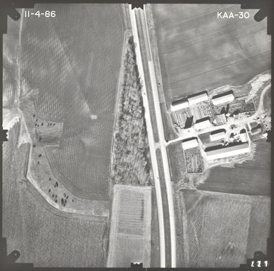
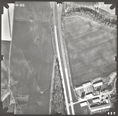
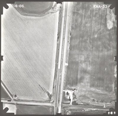
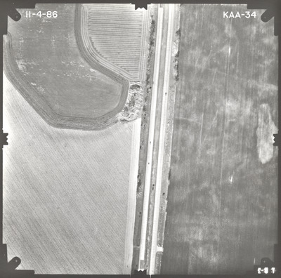
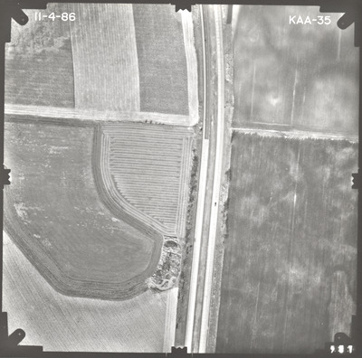
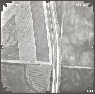
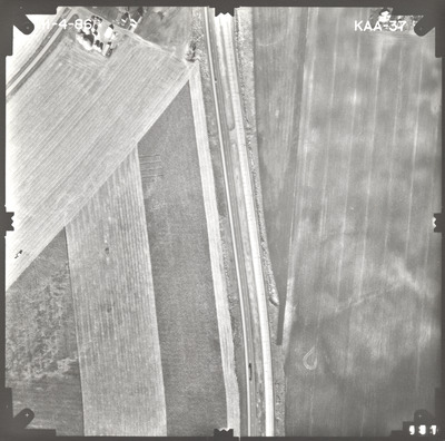
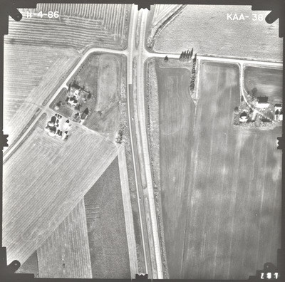
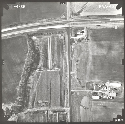
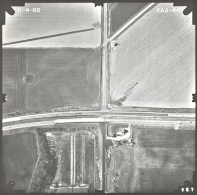
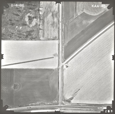
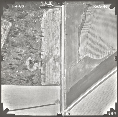
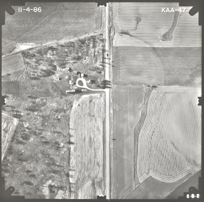
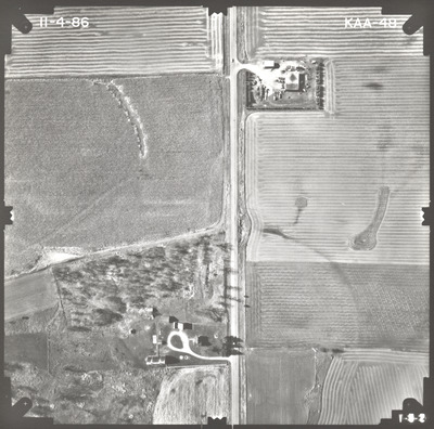
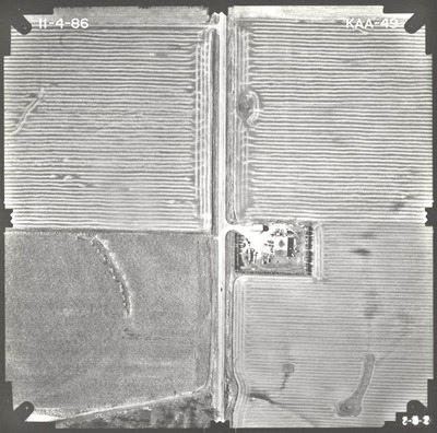
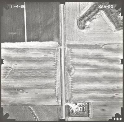
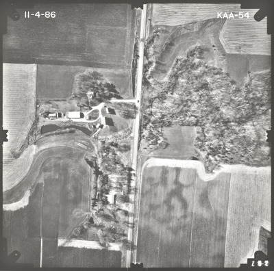
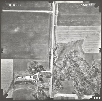
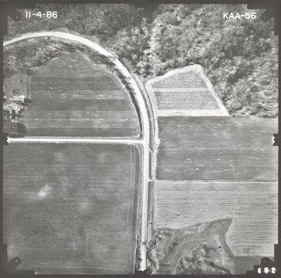
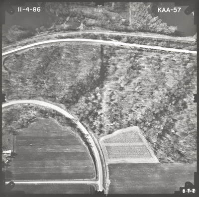
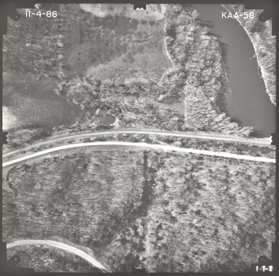
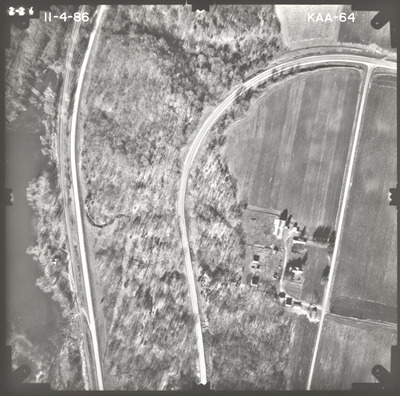
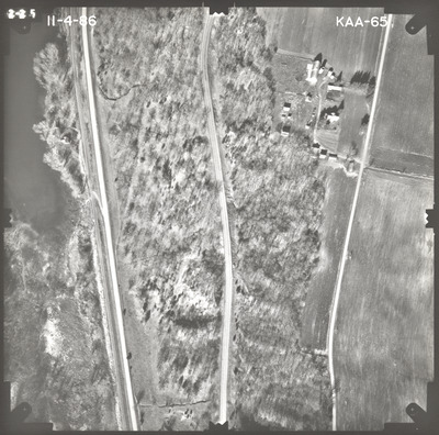
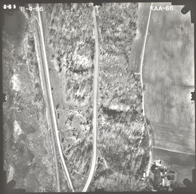
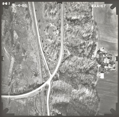
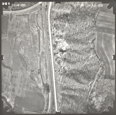
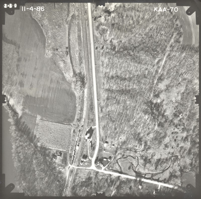
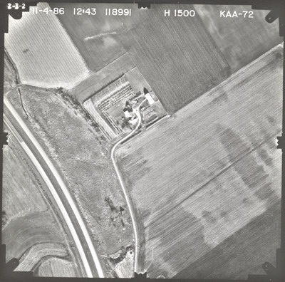
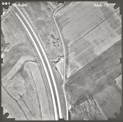
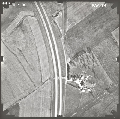
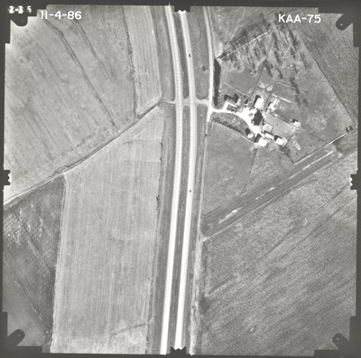
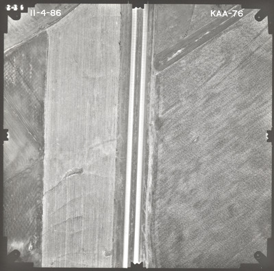
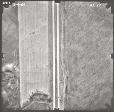
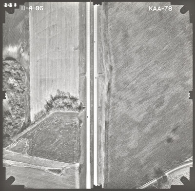
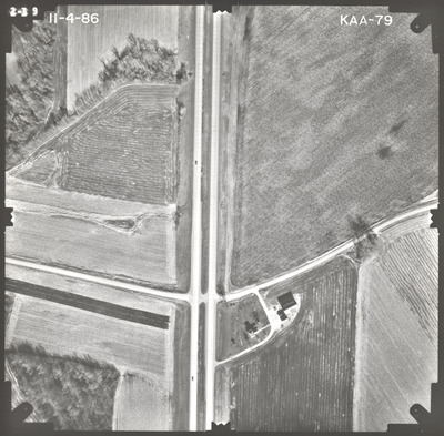
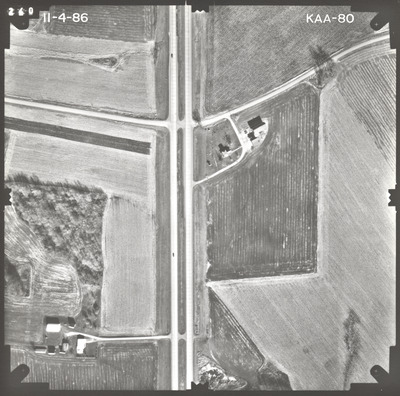
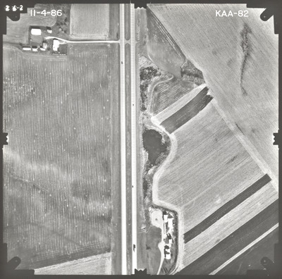
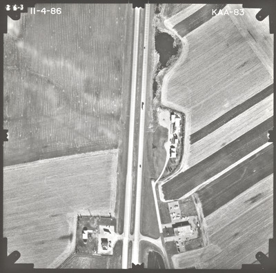
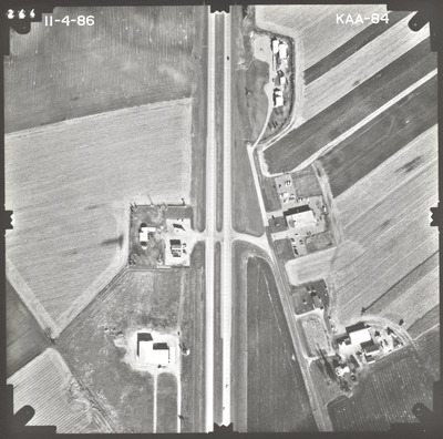
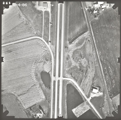
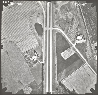
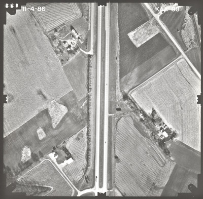
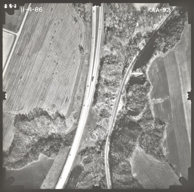
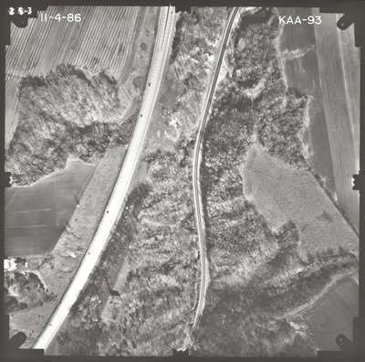
Aerial survey project no. 86F-70 was flown on November 4, 1986. These photos are a verbal scale of 1"=250'. The flight lines provide coverage for highway 169 between Le Sueur and Belle Plaine, as well as highway 19 between highway 169 and Henderson.

Printing is not supported at the primary Gallery Thumbnail page. Please first navigate to a specific Image before printing.

Follow

Switch View to List View Slideshow
 
  • KAA-07 by Mark Hurd Aerial Surveys, Inc. Minneapolis, Minnesota

    KAA-07

  • KAA-08 by Mark Hurd Aerial Surveys, Inc. Minneapolis, Minnesota

    KAA-08

  • KAA-09 by Mark Hurd Aerial Surveys, Inc. Minneapolis, Minnesota

    KAA-09

  • KAA-10 by Mark Hurd Aerial Surveys, Inc. Minneapolis, Minnesota

    KAA-10

  • KAA-11 by Mark Hurd Aerial Surveys, Inc. Minneapolis, Minnesota

    KAA-11

  • KAA-12 by Mark Hurd Aerial Surveys, Inc. Minneapolis, Minnesota

    KAA-12

  • KAA-13 by Mark Hurd Aerial Surveys, Inc. Minneapolis, Minnesota

    KAA-13

  • KAA-14 by Mark Hurd Aerial Surveys, Inc. Minneapolis, Minnesota

    KAA-14

  • KAA-15 by Mark Hurd Aerial Surveys, Inc. Minneapolis, Minnesota

    KAA-15

  • KAA-16 by Mark Hurd Aerial Surveys, Inc. Minneapolis, Minnesota

    KAA-16

  • KAA-17 by Mark Hurd Aerial Surveys, Inc. Minneapolis, Minnesota

    KAA-17

  • KAA-18 by Mark Hurd Aerial Surveys, Inc. Minneapolis, Minnesota

    KAA-18

  • KAA-21 by Mark Hurd Aerial Surveys, Inc. Minneapolis, Minnesota

    KAA-21

  • KAA-22 by Mark Hurd Aerial Surveys, Inc. Minneapolis, Minnesota

    KAA-22

  • KAA-23 by Mark Hurd Aerial Surveys, Inc. Minneapolis, Minnesota

    KAA-23

  • KAA-24 by Mark Hurd Aerial Surveys, Inc. Minneapolis, Minnesota

    KAA-24

  • KAA-25 by Mark Hurd Aerial Surveys, Inc. Minneapolis, Minnesota

    KAA-25

  • KAA-26 by Mark Hurd Aerial Surveys, Inc. Minneapolis, Minnesota

    KAA-26

  • KAA-27 by Mark Hurd Aerial Surveys, Inc. Minneapolis, Minnesota

    KAA-27

  • KAA-28 by Mark Hurd Aerial Surveys, Inc. Minneapolis, Minnesota

    KAA-28

 
  • 1
  • 2
  • 3
  • 4
  • 5


Search

Advanced Search

  • Notify me via email or RSS

Author Corner

  • All Authors
  • Author FAQ
  • Submit Research

University Resources

  • Digital Exhibits
  • ARCH: University Archives Digital Collections
  • Library Services
  • Minnesota State University, Mankato
  • Contact Us
Minnesota State University Mankato Minnesota State
 
Elsevier - Digital Commons

Home | About | FAQ | My Account | Accessibility Statement

Privacy Copyright