

Preview
Photographer
Mark Hurd Aerial Surveys, Inc. Minneapolis, Minnesota
Description
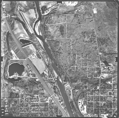
Aerial Photograph of the greater Mankato Area, Mankato, Minnesota from 1967
Flight Code
BDJ
County Name
Nicollet, Blue Earth
Center Latitude
44°11'15.86"N
Center Longitude
94° 0'20.34"W
Date Flown
1967-11-09
Scale
1/10000
Physical Format
Black and White Aerial Photograph
Dimensions
9 x 9
Item Type
Still Image
Collection Name
1967 Greater Mankato Area Air Photos (BDJ)
Contributing Organization
Dr. Mary T. Dooley Map Library, Memorial Library, Minnesota State University, Mankato, P.O. Box 8419, Mankato, MN 56002-8419
Contact Information
Dr. Mary T. Dooley Map Library, Memorial Library, Minnesota State University, Mankato, P.O. Box 8419, Mankato, MN 56002-8419
Creative Commons License

This work is licensed under a Creative Commons Attribution-NonCommercial 4.0 International License
Scanning Center
Dr. Mary T. Dooley Map Library, Memorial Library, Minnesota State University, Mankato, P.O. Box 8419, Mankato, MN 56002-8419
Object File Name
GreaterMankato_1967_BDJ-044.tif
Date Digital
2022-01-18
Item Digital Format
Image/tiff
Master File Format
Image/tiff
Master File Size
111401225
Master File Bit Depth
16
Master File Resolution
800 dpi
Master File Width
7520
Master File Height
7405
Master File Hardware
Epson Expression 10000XL
Master File Software
VueScan
Master File System
Windows 10
Master File Checksum
f785d6cabb6656f5acf09b8939ada52a
Keywords
aerial photographs, air photos, Mankato, Minnesota, Nicollet County, Blue Earth County, 1967

