
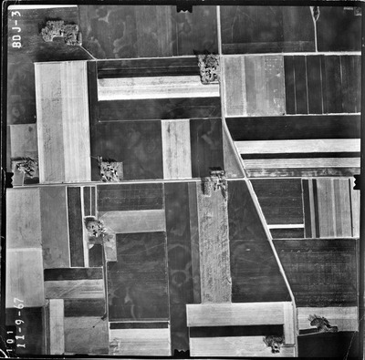
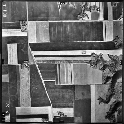
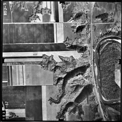
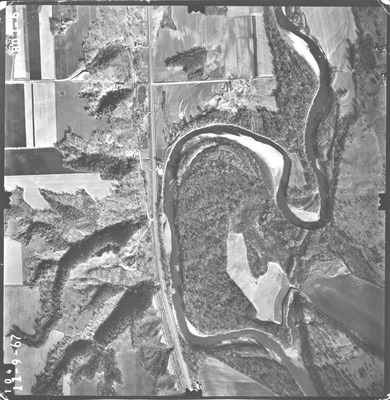
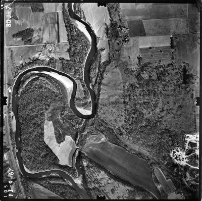
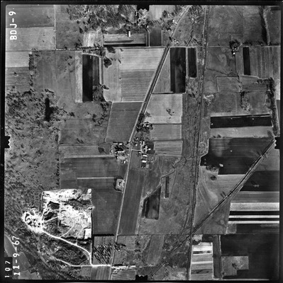
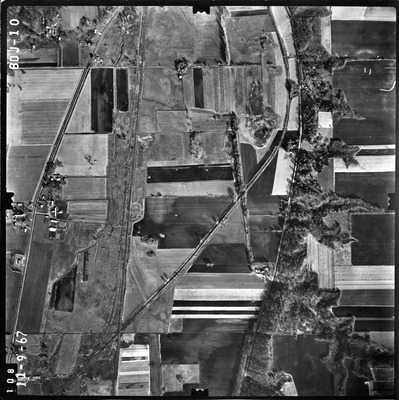
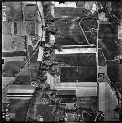
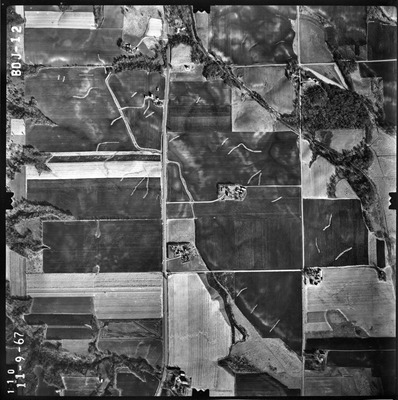
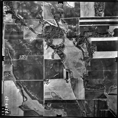
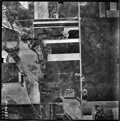
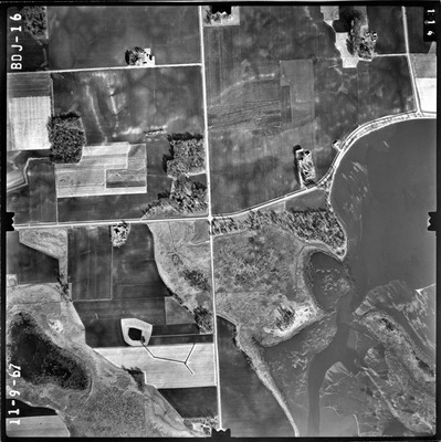
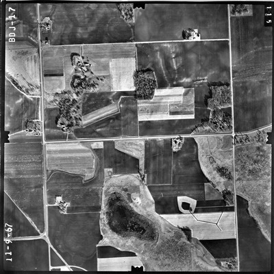
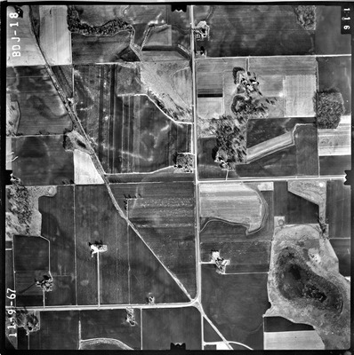
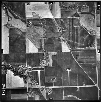
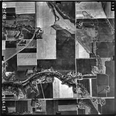
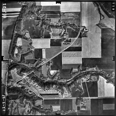
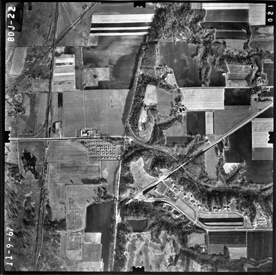
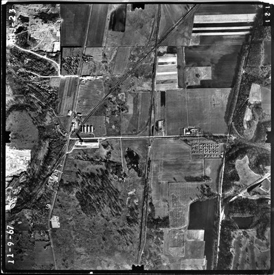
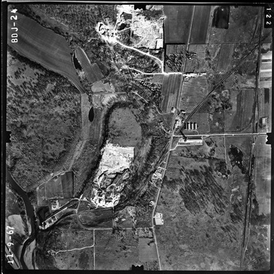
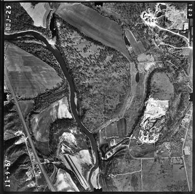
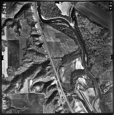
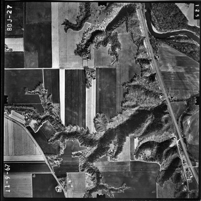
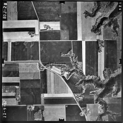
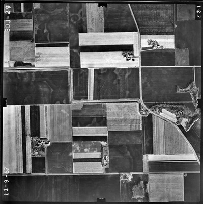
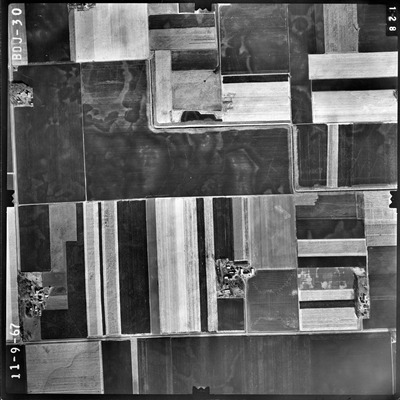
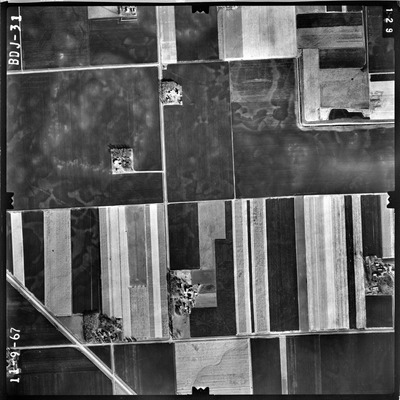
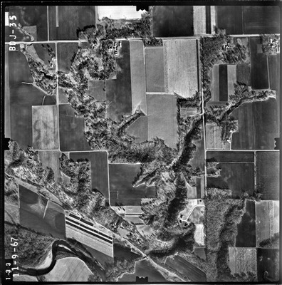
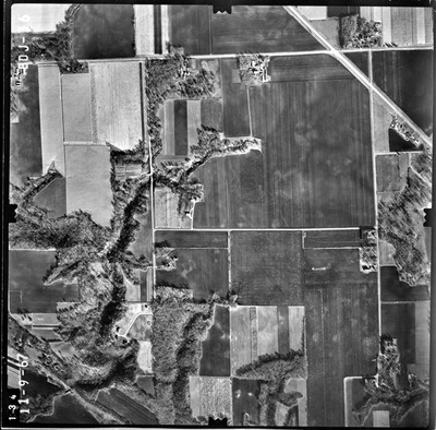
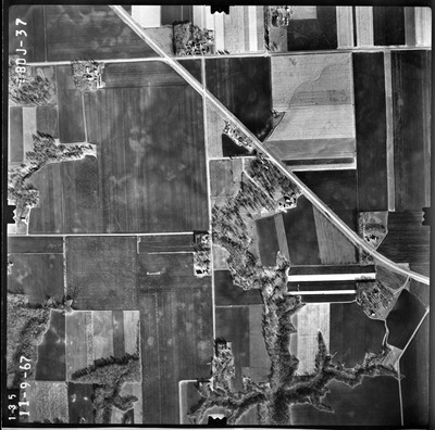
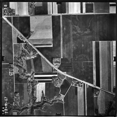
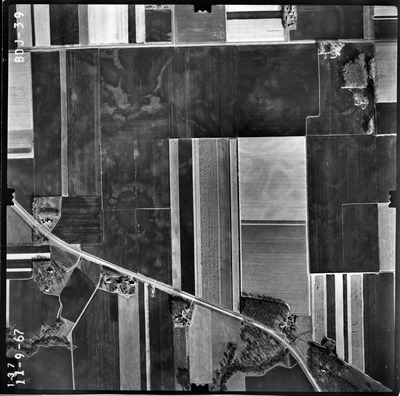
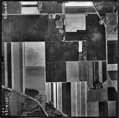
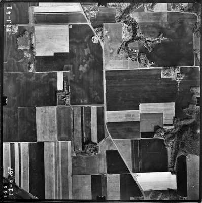
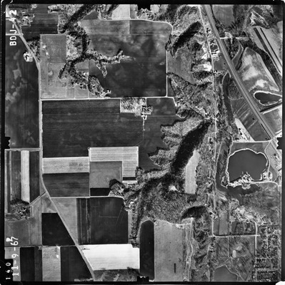
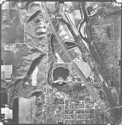
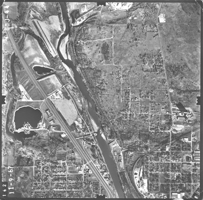
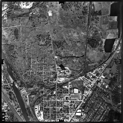
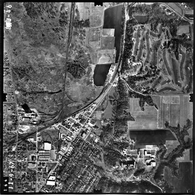
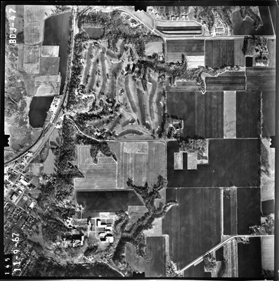
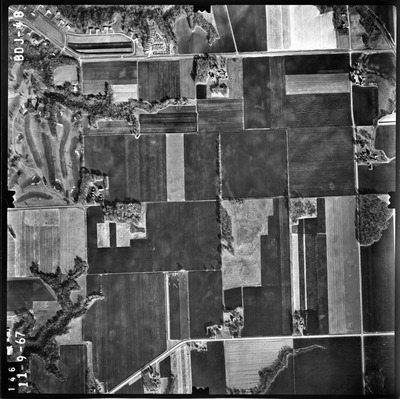
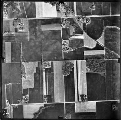
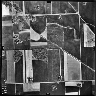
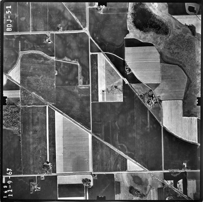
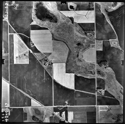
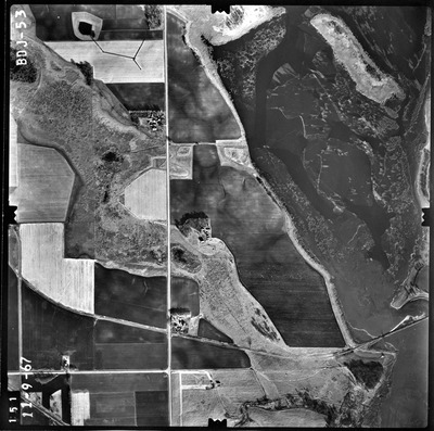
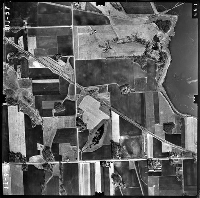
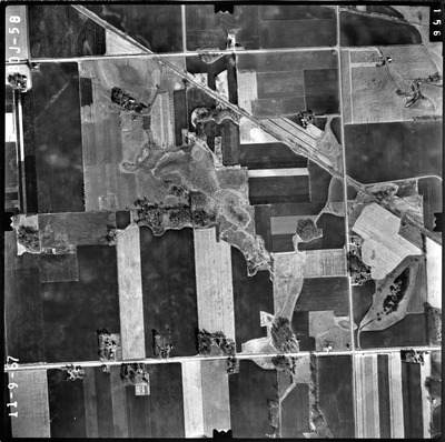
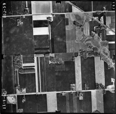
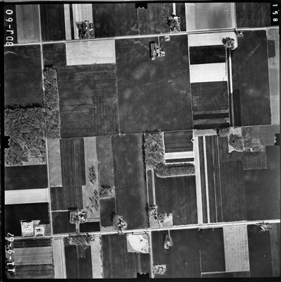
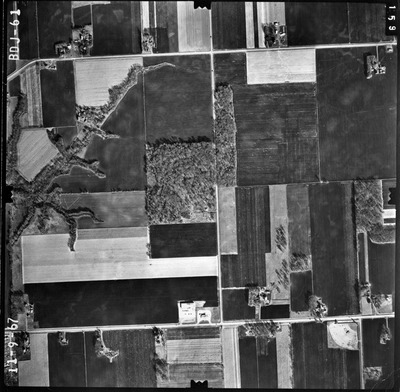
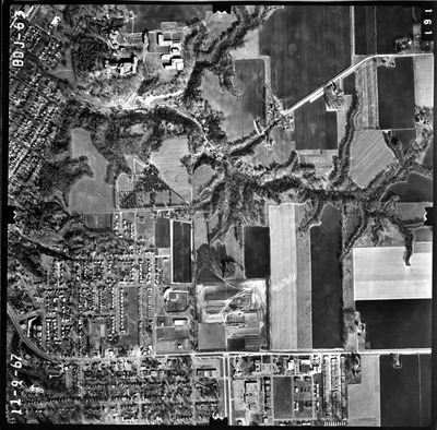
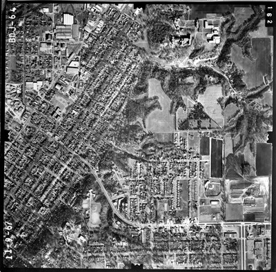
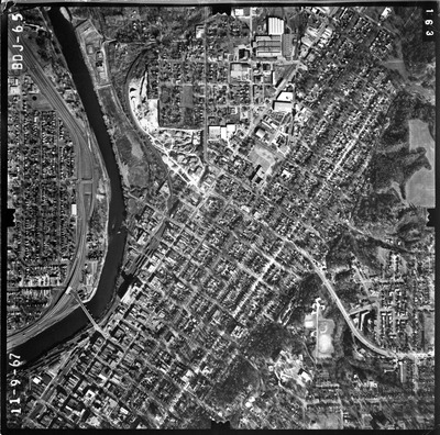
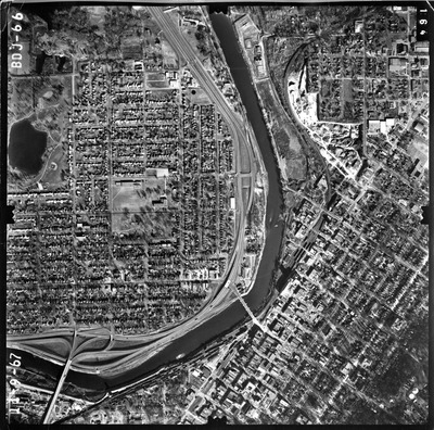
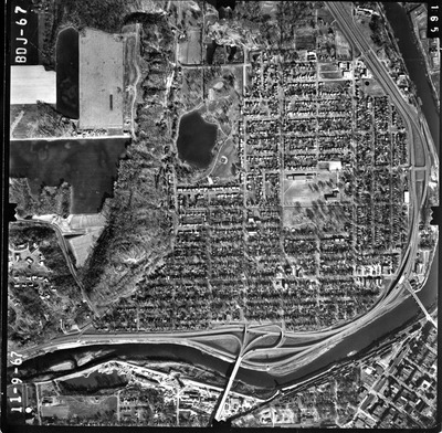
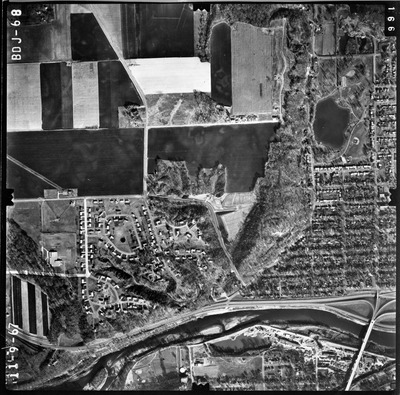
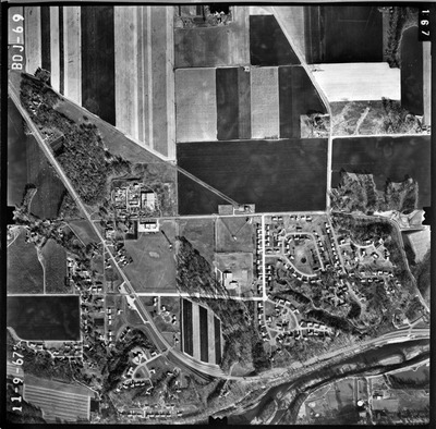
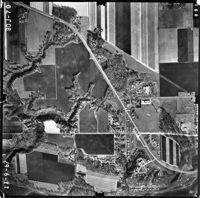
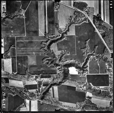
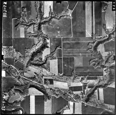
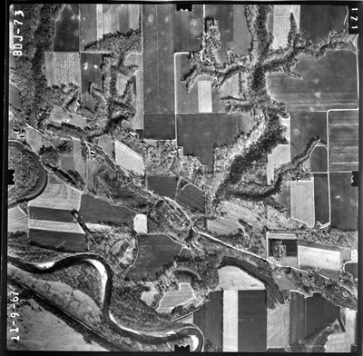
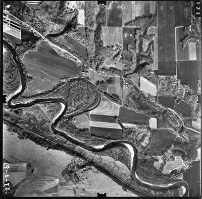
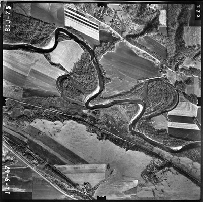
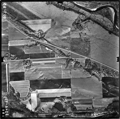
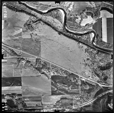
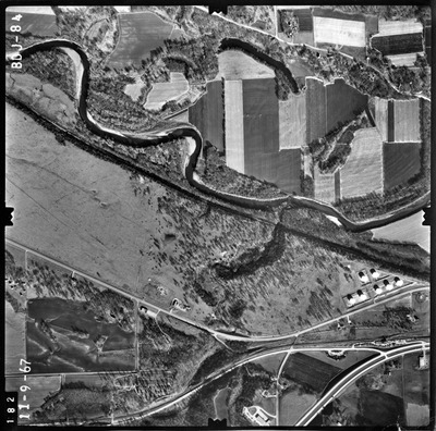
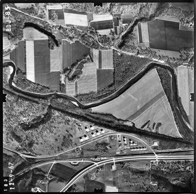
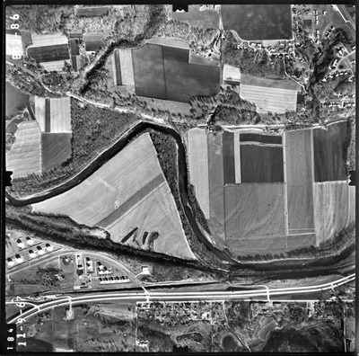
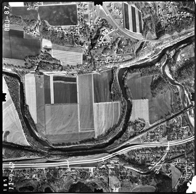
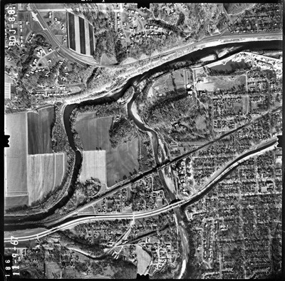
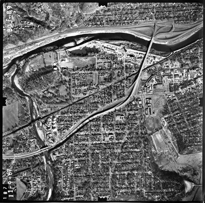
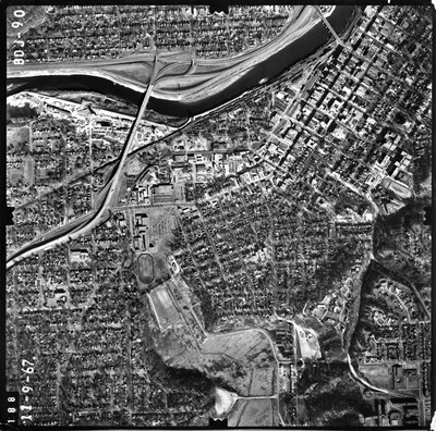
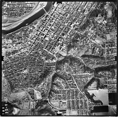
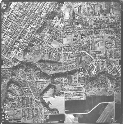
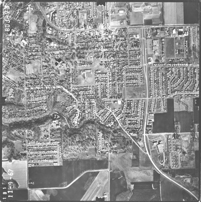
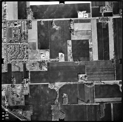
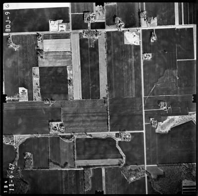
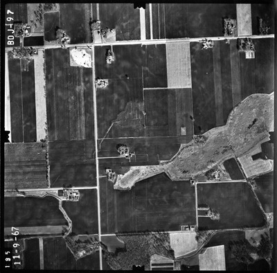
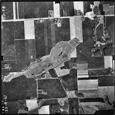
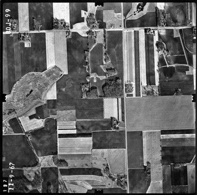
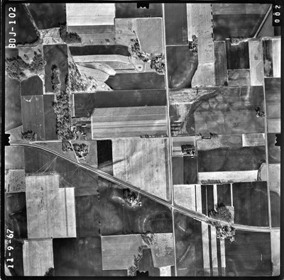
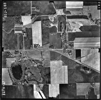
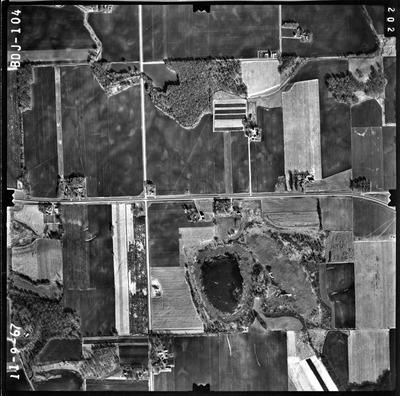
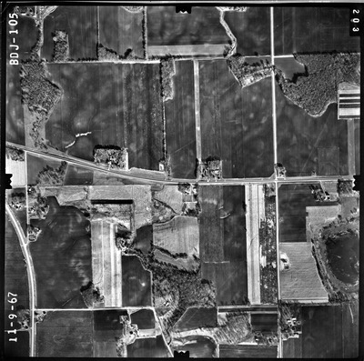
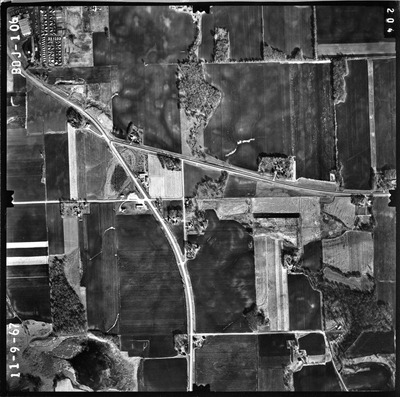
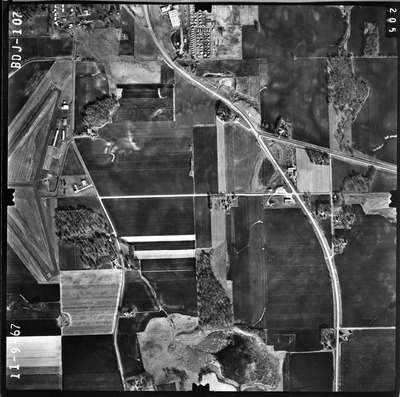
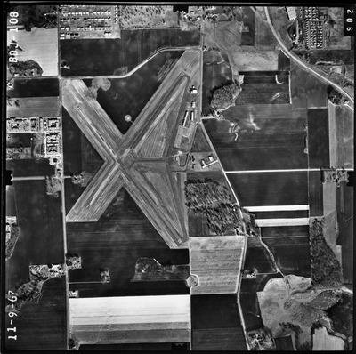
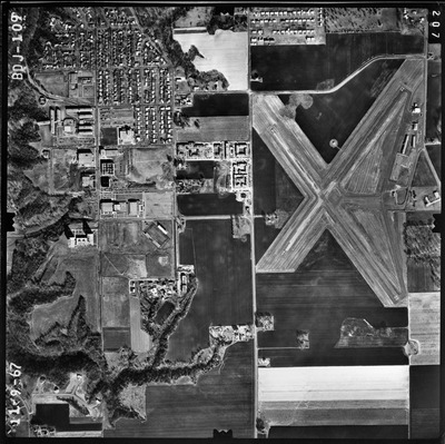
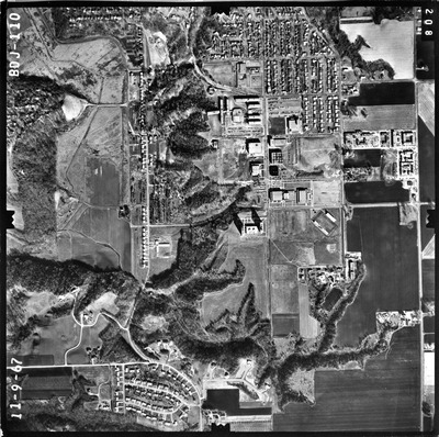
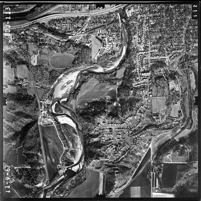
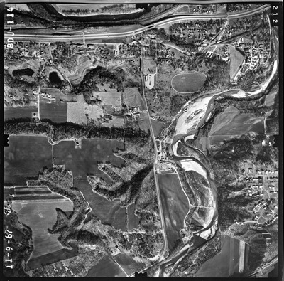
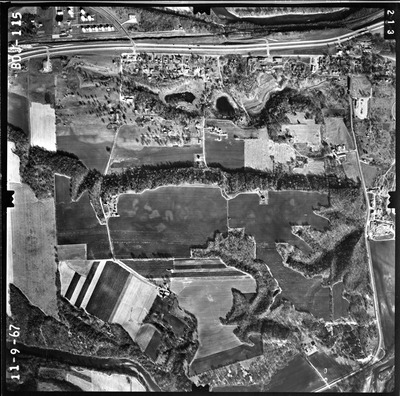
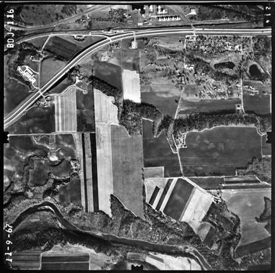
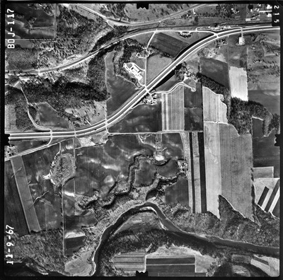
This series contains digitized aerial photographs of the Greater Mankato area from 1967.
An index for this 1967 set of aerial photographs is available in the form of a pin map located below. Each pin represents the center latitude and longitude for the corresponding photograph. This pin map was created by Devon Libby, Graduate Assistant to Library Services at Minnesota State University, Mankato, in 2014.


