

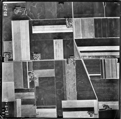
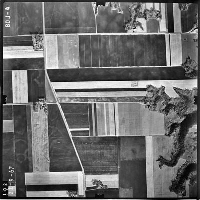
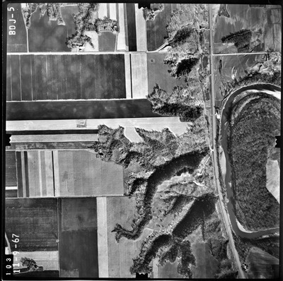
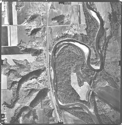
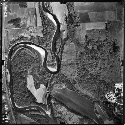
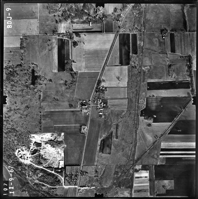
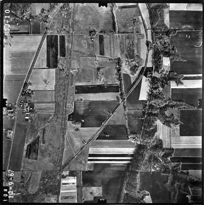
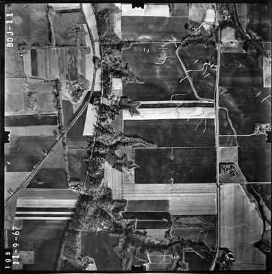
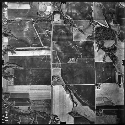
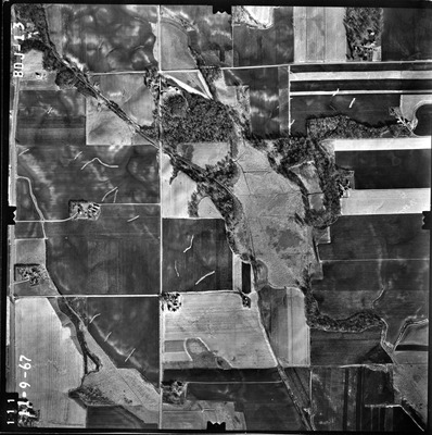
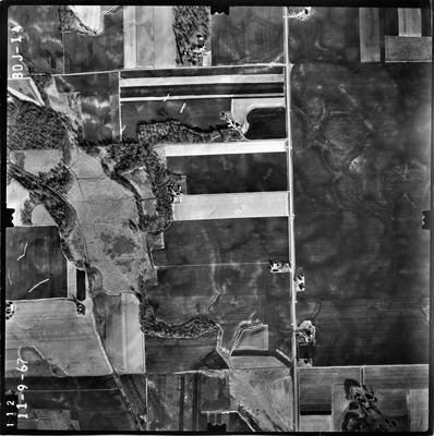
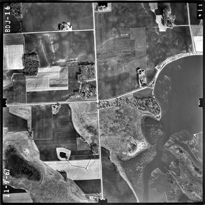
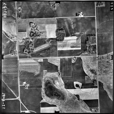
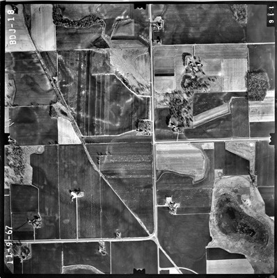
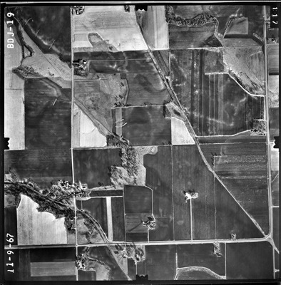
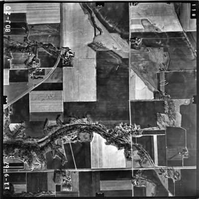
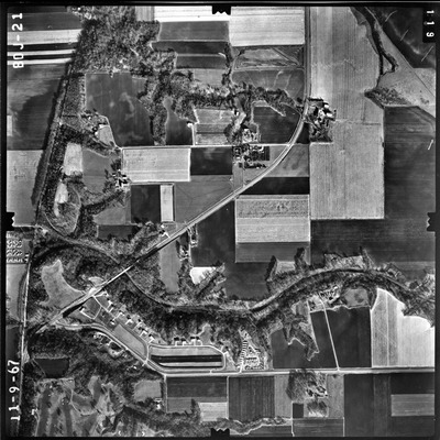
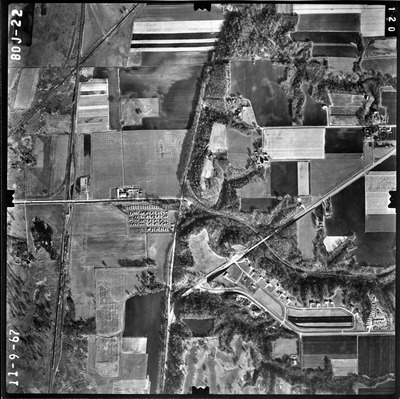
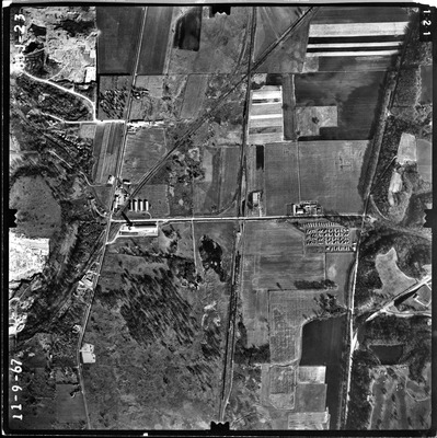
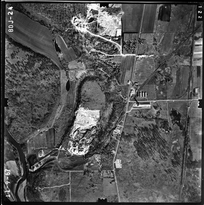
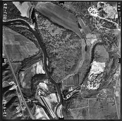
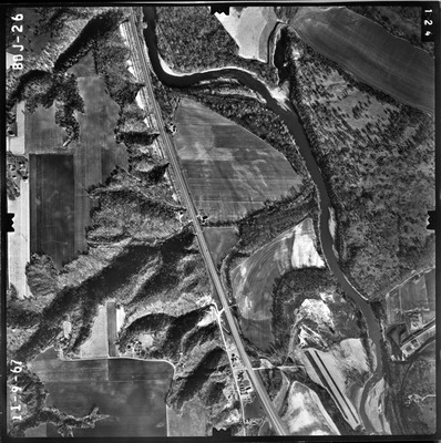
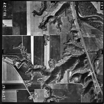
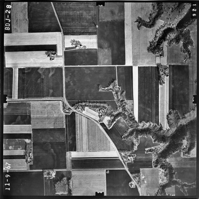
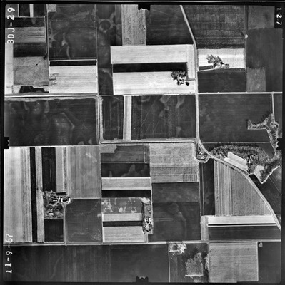
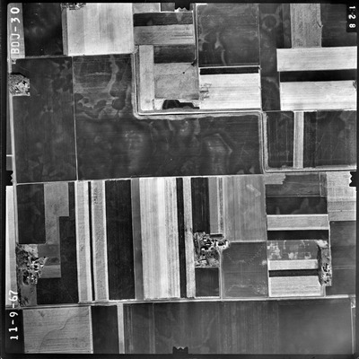
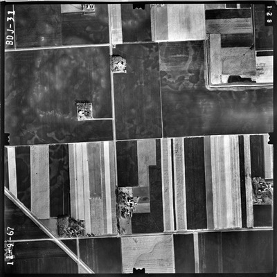
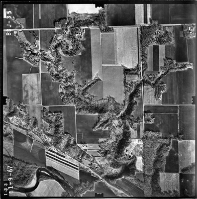
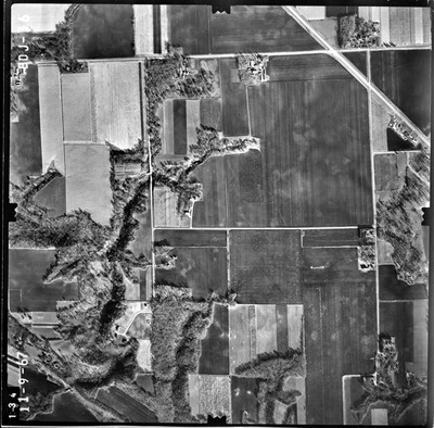
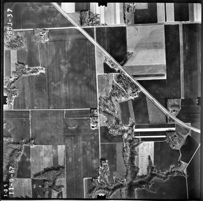
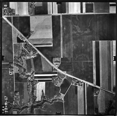
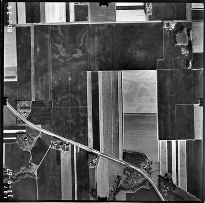
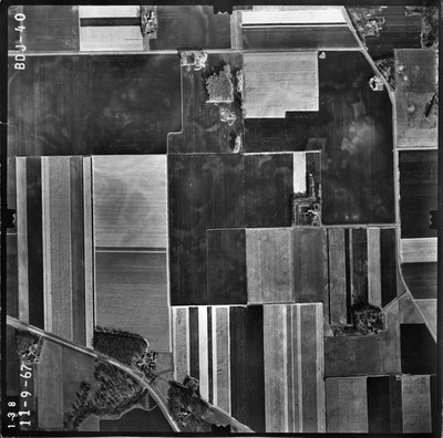
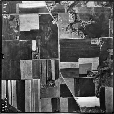
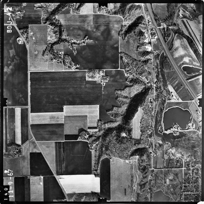
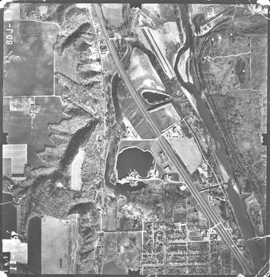
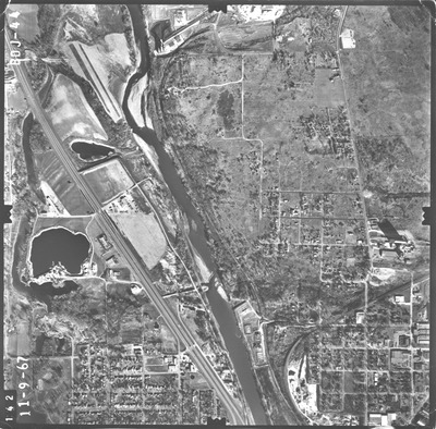
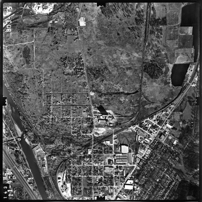
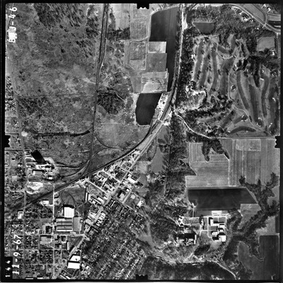
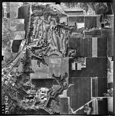
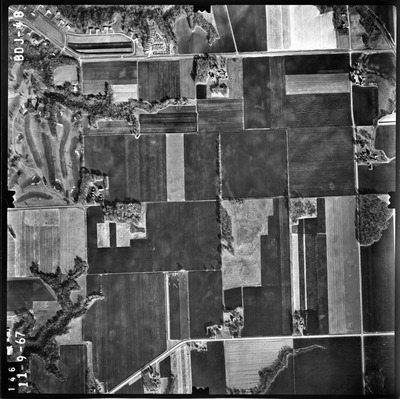
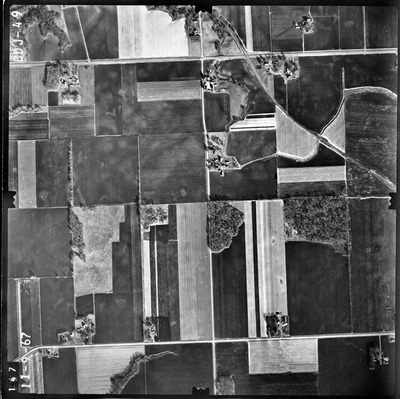
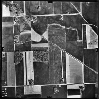
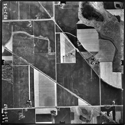
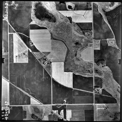
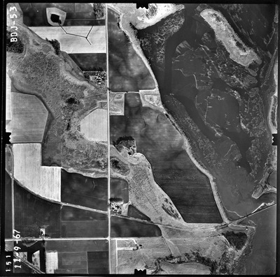
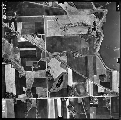
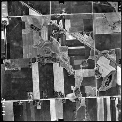
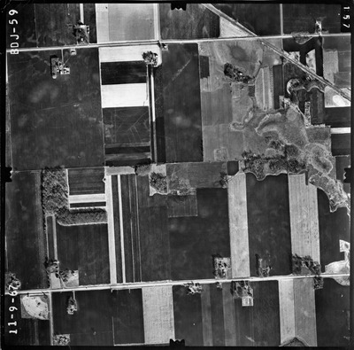
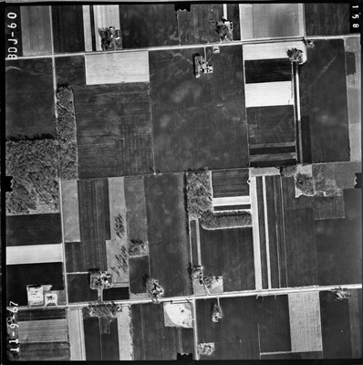
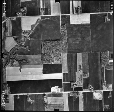
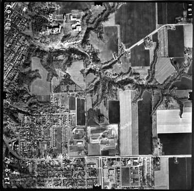
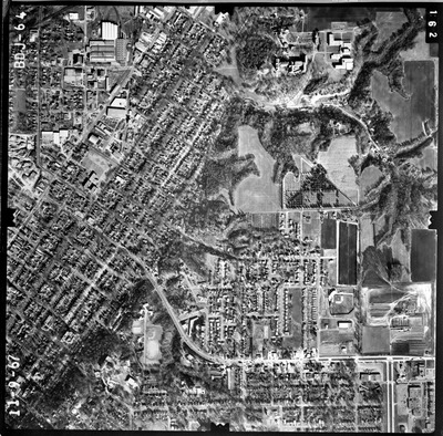
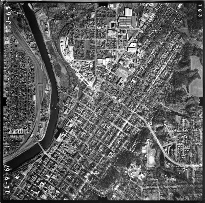
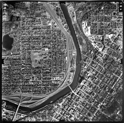
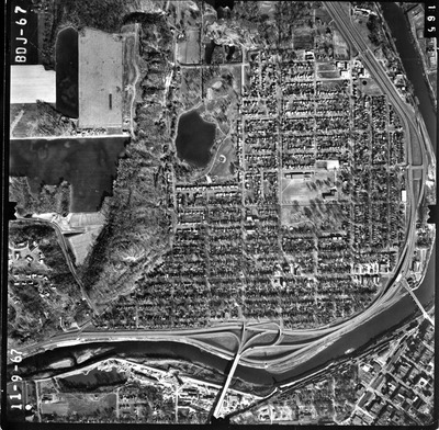
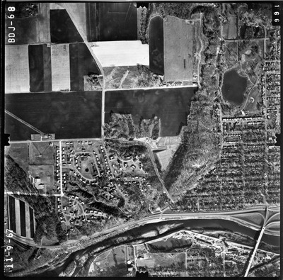
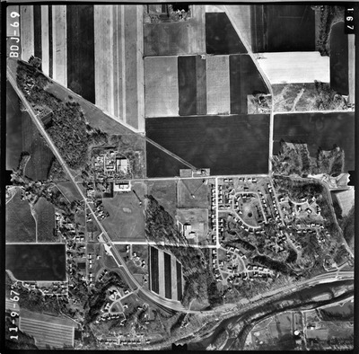
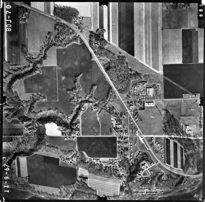
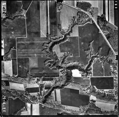
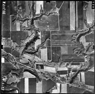
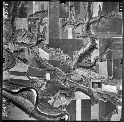
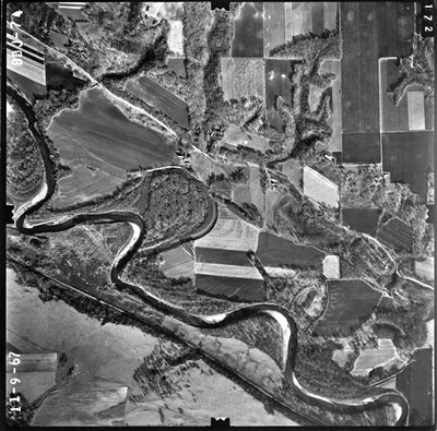
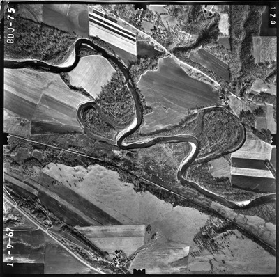
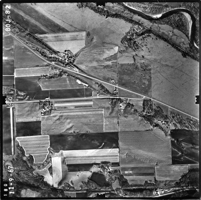
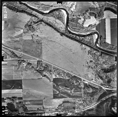
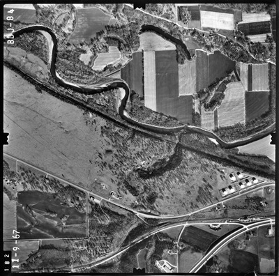
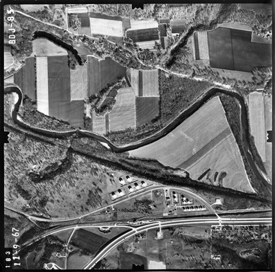
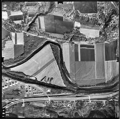
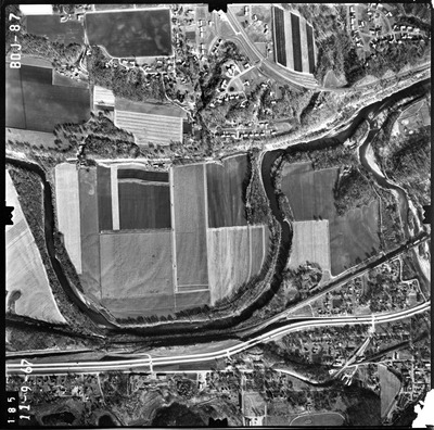
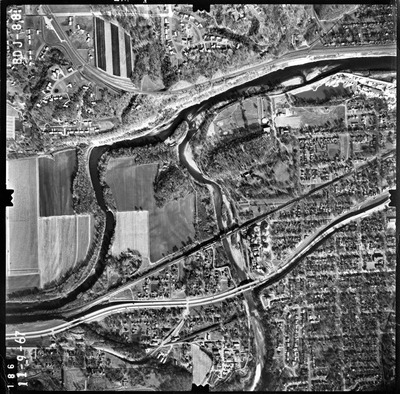
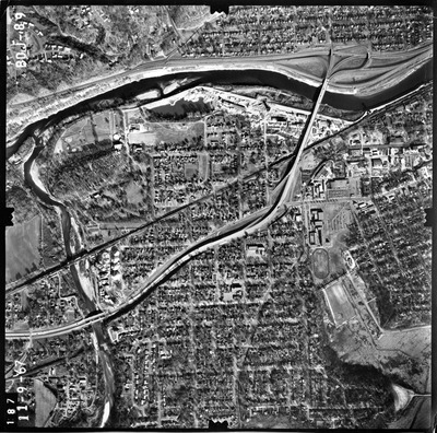
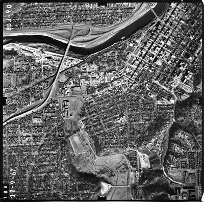
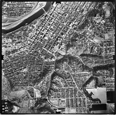
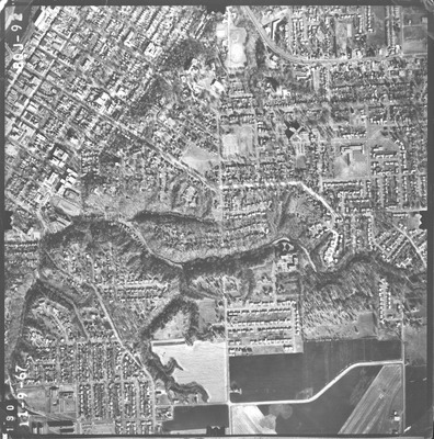
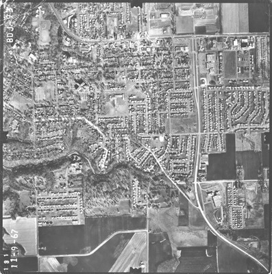
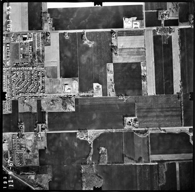
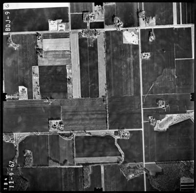
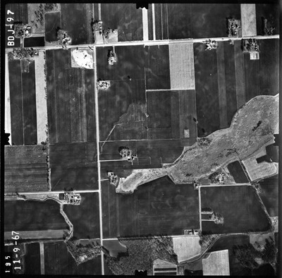
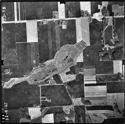
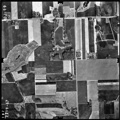
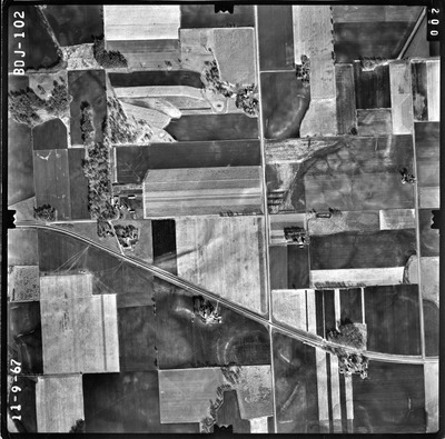
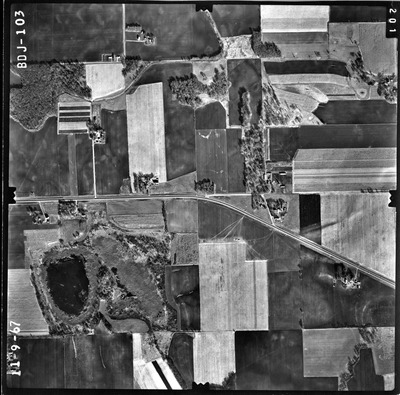
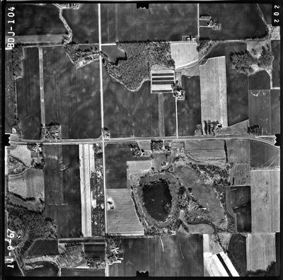
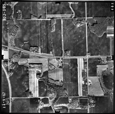
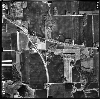
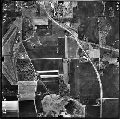
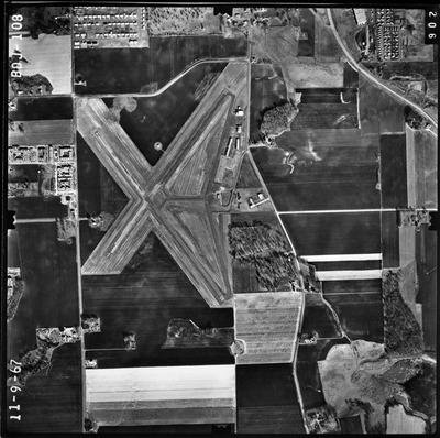
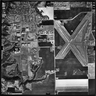
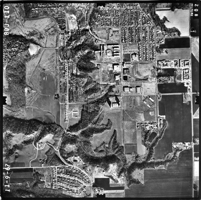
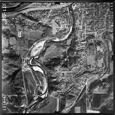
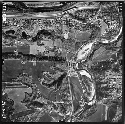
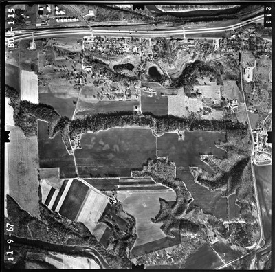
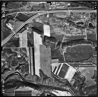
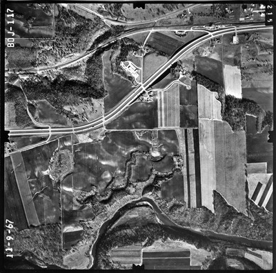
The 1967 Greater Mankato Area (BDJ) air photos were flown on November 9, 1967. These photos are a scale of 1/10,000. The flight lines follow an east-west direction.
To explore geolocated air photos, use this web application Dr. Mary T. Dooley Map Library Digitized Air Photo Collections .


