

Preview
Date Flown
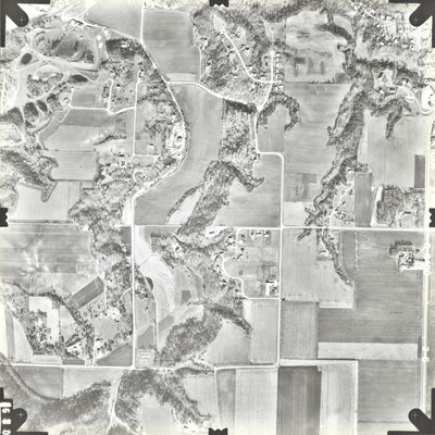
Fall 11-13-1989
Job No.
0-8400
County
Blue Earth
Description
1989 aerial photography commissioned by Blue Earth County Public Works.
Center Latitude
44.123161
Center Longitude
-94.023181
Scale
1''=827'
Flight Height
5000
Focal Length
153.579 mm
Frame Orientation
Vertical
Physical Format
Black and White Physical Aerial Photograph
Dimensions
9 x 9
Item Type
Still Image
Collection Name
Blue Earth County Public Works Air Photo Collection
Contributing Organization
Dr. Mary T. Dooley Map Library, Memorial Library, Minnesota State University, Mankato, P.O. Box 8419, Mankato, MN 56002-8419
Contact Information
Dr. Mary T. Dooley Map Library, Memorial Library, Minnesota State University, Mankato, P.O. Box 8419, Mankato, MN 56002-8419
Creative Commons License

This work is licensed under a Creative Commons Attribution-NonCommercial 4.0 International License
Scanning Center
Dr. Mary T. Dooley Map Library, Memorial Library, Minnesota State University, Mankato, P.O. Box 8419, Mankato, MN 56002-8419
Object File Name
BECPW_1989_0-8400_3-06.tif
Date Digital
2026-04-09
Item Digital Format
Image/tiff
Master File Format
Image/tiff
Master File Size
93865528
Master File Bit Depth
24
Master File Resolution
800 dpi
Master File Width
7212
Master File Height
7216
Master File Hardware
Epson Expression 12000XL
Master File Software
VueScan
Master File System
Windows 11
Master File Checksum
91b6f6ac5ca688c94ea5f7aebb481bbf
Keywords
blue earth county public works, air photos, aerial photography, 1989, mankato, pond, stream, field tiling, gravel pit, dirt pile, wetland

