

Preview
Date Flown
Spring 4-27-1992
Job No.
2-8845
County
Blue Earth
Location
County Road 8
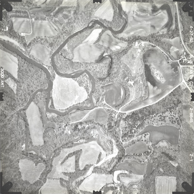
Description
1992 aerial photography of County Road 8 and County Road 9 commissioned by Blue Earth County Public Works.
Center Latitude
44.077029
Center Longitude
-93.996182
Scale
1''=500'
Flight Height
3000
Camera
[Zeiss RMK-A 15/23]
Camera Serial Number
[137485]
Lens Serial Number
137516
Focal Length
153.58 mm
Frame Orientation
Vertical
Physical Format
Black and White Physical Aerial Photograph
Dimensions
9 x 9
Item Type
Still Image
Collection Name
Blue Earth County Public Works Air Photo Collection
Contributing Organization
Dr. Mary T. Dooley Map Library, Memorial Library, Minnesota State University, Mankato, P.O. Box 8419, Mankato, MN 56002-8419
Contact Information
Dr. Mary T. Dooley Map Library, Memorial Library, Minnesota State University, Mankato, P.O. Box 8419, Mankato, MN 56002-8419
Creative Commons License

This work is licensed under a Creative Commons Attribution-NonCommercial 4.0 International License
Scanning Center
Dr. Mary T. Dooley Map Library, Memorial Library, Minnesota State University, Mankato, P.O. Box 8419, Mankato, MN 56002-8419
Object File Name
BECPW_1992_2-8845_2-01.tif
Date Digital
2026-04-06
Item Digital Format
Image/tiff
Master File Format
Image/tiff
Master File Size
93288872
Master File Bit Depth
24
Master File Resolution
800 dpi
Master File Width
7248
Master File Height
7235
Master File Hardware
Epson Expression 12000XL
Master File Software
VueScan
Master File System
Windows 11
Master File Checksum
895278ef2d41c53bf65b392557236f8c
Keywords
blue earth county public works, air photos, aerial photography, 1992, cobb river, rapids, pond, stream, marsh, field tiling, wetland

