

Preview
Date Flown
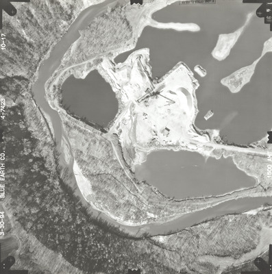
Spring 3-30-1994
Job No.
4-7423
County
Blue Earth
Location
Proposed South Route Highway [CSAH 90] Project
Description
1994 aerial photography of the proposed south route for the County State-Aid Highway (CSAH) 90 project commissioned by Blue Earth County Public Works.
Center Latitude
44.120581
Center Longitude
-94.054417
Scale
1''=250'
Flight Height
1500
Camera
[Zeiss RMK-A 15/23]
Camera Serial Number
[137473]
Lens Serial Number
137503
Focal Length
153.72 mm
Frame Orientation
Vertical
Physical Format
Black and White Physical Aerial Photograph
Dimensions
9 x 9
Item Type
Still Image
Collection Name
Blue Earth County Public Works Air Photo Collection
Contributing Organization
Dr. Mary T. Dooley Map Library, Memorial Library, Minnesota State University, Mankato, P.O. Box 8419, Mankato, MN 56002-8419
Contact Information
Dr. Mary T. Dooley Map Library, Memorial Library, Minnesota State University, Mankato, P.O. Box 8419, Mankato, MN 56002-8419
Creative Commons License

This work is licensed under a Creative Commons Attribution-NonCommercial 4.0 International License
Scanning Center
Dr. Mary T. Dooley Map Library, Memorial Library, Minnesota State University, Mankato, P.O. Box 8419, Mankato, MN 56002-8419
Object File Name
BECPW_1994_4-7423_10-17.tif
Date Digital
2026-04-16
Item Digital Format
Image/tiff
Master File Format
Image/tiff
Master File Size
94373862
Master File Bit Depth
24
Master File Resolution
800 dpi
Master File Width
7199
Master File Height
7248
Master File Hardware
Epson Expression 12000XL
Master File Software
VueScan
Master File System
Windows 11
Master File Checksum
844925d3feaa3f067e83ae2ee5498689
Keywords
blue earth county public works, air photos, aerial photography, 1994, le sueur river, pond, stream, field tiling, gravel pit, wetland

