

Preview
Date Flown
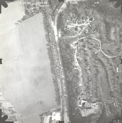
Spring 4-16-2004
Job No.
71156
County
Blue Earth
Location
CSAH 57
Description
2004 aerial photography of County State-Aid Highway (CSAH) 57 commissioned by Blue Earth County Public Works.
Center Latitude
44.194896
Center Longitude
-93.978915
Scale
1''=300'
Flight Height
1800
Camera
[Zeiss RMK-A 15/23]
Camera Serial Number
137485
Lens Serial Number
137516
Focal Length
153.586 mm
Frame Orientation
Vertical
Physical Format
Black and White Physical Aerial Photograph
Dimensions
9 x 9
Item Type
Still Image
Collection Name
Blue Earth County Public Works Air Photo Collection
Contributing Organization
Dr. Mary T. Dooley Map Library, Memorial Library, Minnesota State University, Mankato, P.O. Box 8419, Mankato, MN 56002-8419
Contact Information
Dr. Mary T. Dooley Map Library, Memorial Library, Minnesota State University, Mankato, P.O. Box 8419, Mankato, MN 56002-8419
Creative Commons License

This work is licensed under a Creative Commons Attribution-NonCommercial 4.0 International License
Scanning Center
Dr. Mary T. Dooley Map Library, Memorial Library, Minnesota State University, Mankato, P.O. Box 8419, Mankato, MN 56002-8419
Object File Name
BECPW_2004_71156_1-05.tif
Date Digital
2026-04-06
Item Digital Format
Image/tiff
Master File Format
Image/tiff
Master File Size
105672282
Master File Bit Depth
24
Master File Resolution
800 dpi
Master File Width
7224
Master File Height
7251
Master File Hardware
Epson Expression 12000XL
Master File Software
VueScan
Master File System
Windows 11
Master File Checksum
e6a38eee39bbee5b6c009ce580572696
Keywords
blue earth county public works, air photos, aerial photography, 2004, mankato, stream, field tiling, golf course, wetland

