• Home
  • Search
  • Browse Collections
  • My Account
  • About
  • DC Network Digital Commons Network™
Skip to main content
Cornerstone: A Collection of Scholarly and Creative Works for Minnesota State University, Mankato
  • Home
  • About
  • FAQ
  • My Account

Home > MAPS > MAPS-MNDOT7-AIR-PHOTOS > MNDOT7-1958-HOL

1958 Aerial Survey Project No. Not Available (HOL)

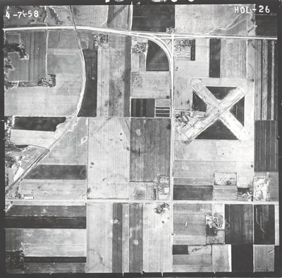
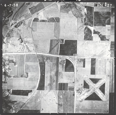
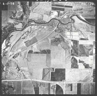
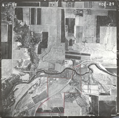
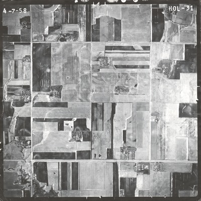
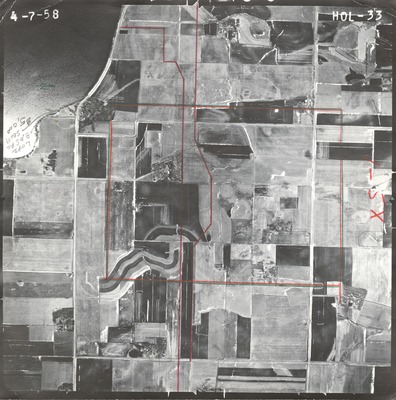
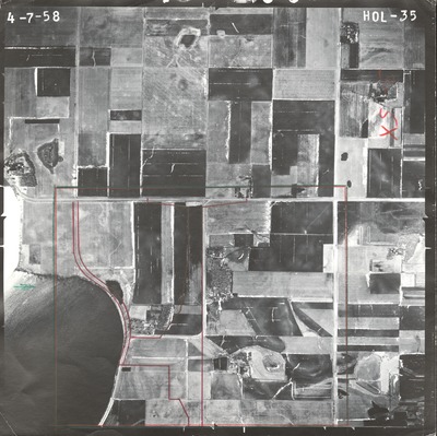
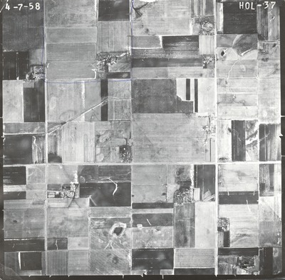
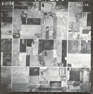
This aerial survey project no. [not available] and HOL flight code was flown on April 7, 1958. These photos are a verbal scale of 1"=800'. The flight line is east-west direction and provides coverage for the junction of highway I-90 and 71 north of Jackson.

Printing is not supported at the primary Gallery Thumbnail page. Please first navigate to a specific Image before printing.

Follow

Switch View to List View Slideshow
 
  • HOL-26 by Mark Hurd Aerial Surveys, Inc. Minneapolis, Minnesota

    HOL-26

  • HOL-27 by Mark Hurd Aerial Surveys, Inc. Minneapolis, Minnesota

    HOL-27

  • HOL-28 by Mark Hurd Aerial Surveys, Inc. Minneapolis, Minnesota

    HOL-28

  • HOL-29 by Mark Hurd Aerial Surveys, Inc. Minneapolis, Minnesota

    HOL-29

  • HOL-31 by Mark Hurd Aerial Surveys, Inc. Minneapolis, Minnesota

    HOL-31

  • HOL-33 by Mark Hurd Aerial Surveys, Inc. Minneapolis, Minnesota

    HOL-33

  • HOL-35 by Mark Hurd Aerial Surveys, Inc. Minneapolis, Minnesota

    HOL-35

  • HOL-37 by Mark Hurd Aerial Surveys, Inc. Minneapolis, Minnesota

    HOL-37

  • HOL-39 by Mark Hurd Aerial Surveys, Inc. Minneapolis, Minnesota

    HOL-39


Search

Advanced Search

  • Notify me via email or RSS

Author Corner

  • All Authors
  • Author FAQ
  • Submit Research

University Resources

  • ARCH: University Archives Digital Collections
  • Library Services
  • Minnesota State University, Mankato
  • Contact Us
Minnesota State University Mankato Minnesota State
 
Elsevier - Digital Commons

Home | About | FAQ | My Account | Accessibility Statement

Privacy Copyright