

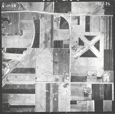
Preview
Flight Code
HOL
Date Flown
Spring 4-7-1958
Aerial Survey Project No. (A.S.P. No.)
Not Available
County
Jackson
Trunk Highway (T.H.)
[I-90]
Location
[Jct. TH 71 at Jackson]
Center Latitude
43°38'35.51"N
Center Longitude
94°58'56.32"W
Scale
1''=800'
Flight Height
4800
Physical Format
Black and White Physical Aerial Photograph
Dimensions
9 x 9
Item Type
Still Image
Collection Name
Minnesota Department of Transportation District 7 Air Photo Collection, 1957-2006
Contributing Organization
Dr. Mary T. Dooley Map Library, Memorial Library, Minnesota State University, Mankato, P.O. Box 8419, Mankato, MN 56002-8419
Contact Information
Dr. Mary T. Dooley Map Library, Memorial Library, Minnesota State University, Mankato, P.O. Box 8419, Mankato, MN 56002-8419
Creative Commons License

This work is licensed under a Creative Commons Attribution-NonCommercial 4.0 International License
Scanning Center
Dr. Mary T. Dooley Map Library, Memorial Library, Minnesota State University, Mankato, P.O. Box 8419, Mankato, MN 56002-8419
Object File Name
MnDOT_1958_HOL-26.tif
Date Digital
2021-12-03
Item Digital Format
Image/tiff
Master File Format
Image/tiff
Master File Size
96731092
Master File Bit Depth
24
Master File Resolution
800 dpi
Master File Width
7563
Master File Height
7451
Master File Hardware
Epson Expression 10000XL
Master File Software
VueScan
Master File System
Windows 10
Master File Checksum
01c2dfaa64e35a99076733c8f41dcdc7
Keywords
mndot, air photos, aerial photography, 1958, stream, airport, railroad

