• Home
  • Search
  • Browse Collections
  • My Account
  • About
  • DC Network Digital Commons Network™
Skip to main content
Cornerstone: A Collection of Scholarly and Creative Works for Minnesota State University, Mankato
  • Home
  • About
  • FAQ
  • My Account

Home > MAPS > MAPS-MNDOT7-AIR-PHOTOS > MNDOT7-1963-61-63A

1963 Aerial Survey Project No. 61-63A (AAK)

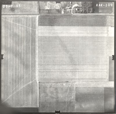
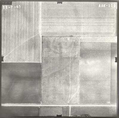
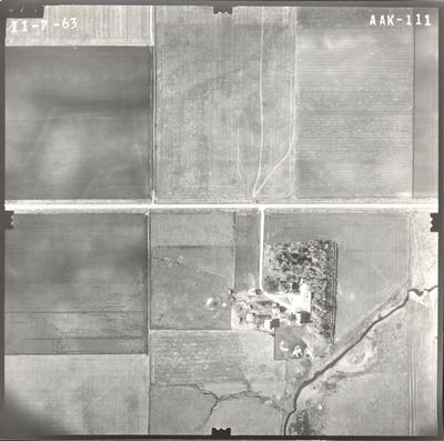
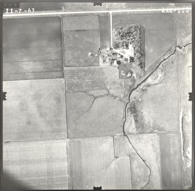
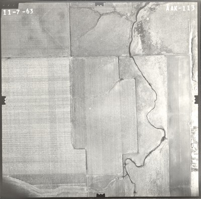
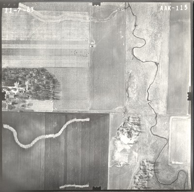
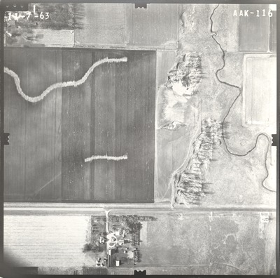
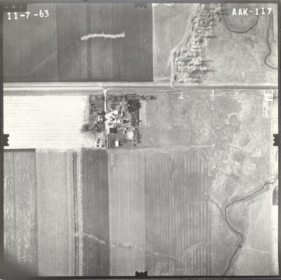
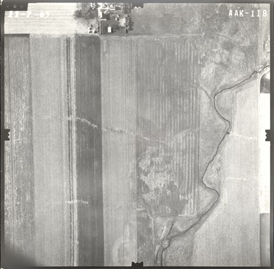
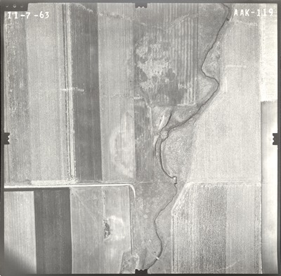
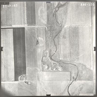
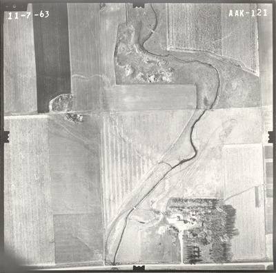
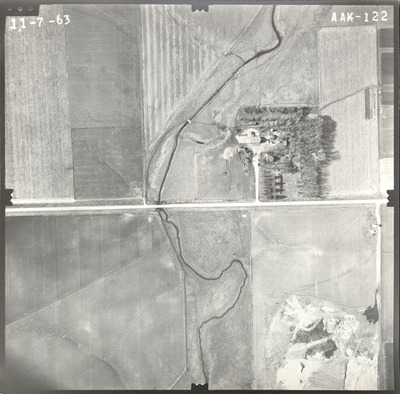
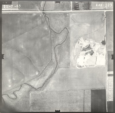
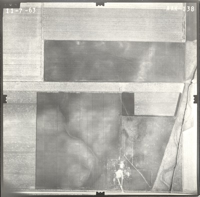
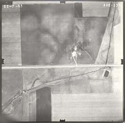
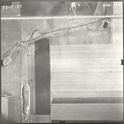
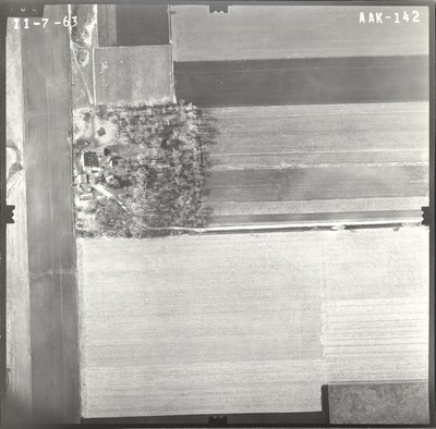
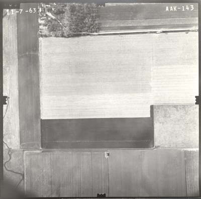
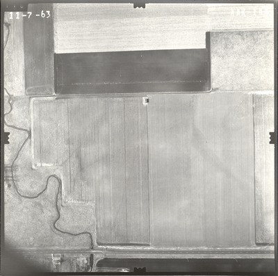
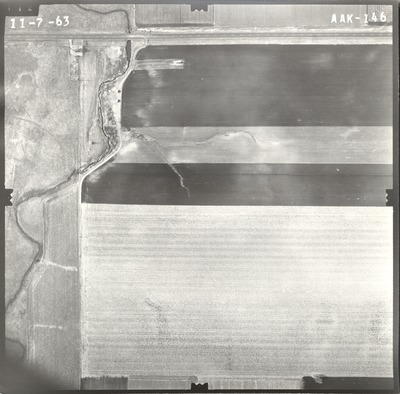
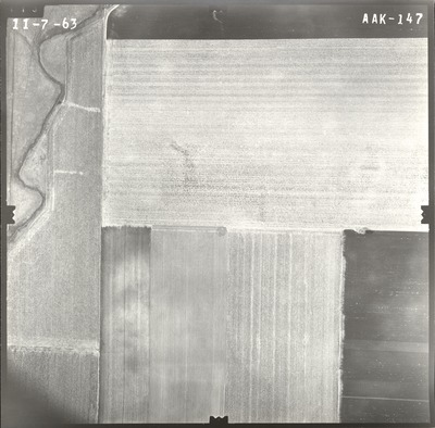
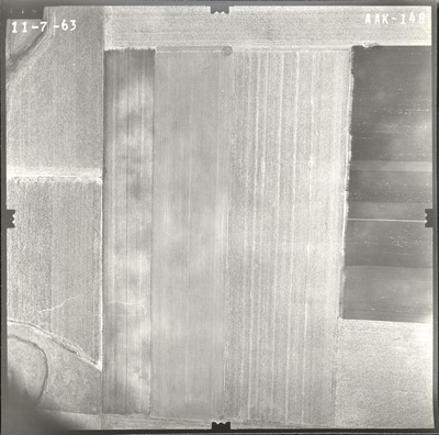
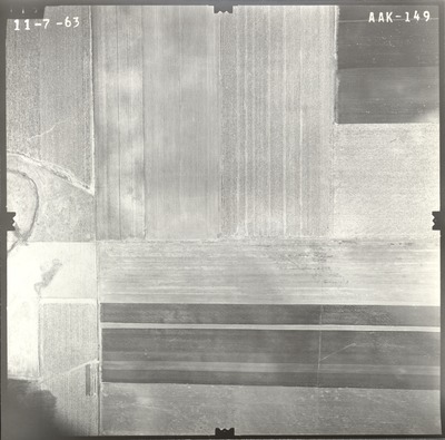
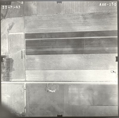
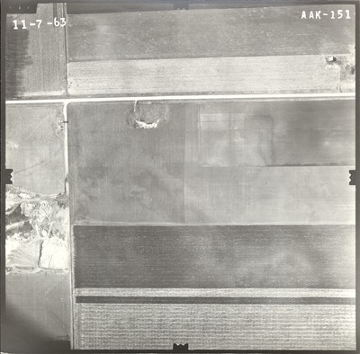
Aerial survey project no. 61-63A was flown on November 7, 1963. These photos are a verbal scale of 1"=250'. The flight lines follow an east-west direction and provide coverage for the interchange of highway I-90 and County Road 9 in Jackson County.

Printing is not supported at the primary Gallery Thumbnail page. Please first navigate to a specific Image before printing.

Follow

Switch View to List View Slideshow
 
  • AAK-143 by Mark Hurd Aerial Surveys, Inc. Minneapolis, Minnesota

    AAK-143

  • AAK-144 by Mark Hurd Aerial Surveys, Inc. Minneapolis, Minnesota

    AAK-144

  • AAK-145 by Mark Hurd Aerial Surveys, Inc. Minneapolis, Minnesota

    AAK-145

  • AAK-146 by Mark Hurd Aerial Surveys, Inc. Minneapolis, Minnesota

    AAK-146

  • AAK-147 by Mark Hurd Aerial Surveys, Inc. Minneapolis, Minnesota

    AAK-147

  • AAK-148 by Mark Hurd Aerial Surveys, Inc. Minneapolis, Minnesota

    AAK-148

  • AAK-149 by Mark Hurd Aerial Surveys, Inc. Minneapolis, Minnesota

    AAK-149

  • AAK-150 by Mark Hurd Aerial Surveys, Inc. Minneapolis, Minnesota

    AAK-150

  • AAK-151 by Mark Hurd Aerial Surveys, Inc. Minneapolis, Minnesota

    AAK-151

 
  • 1
  • 2


Search

Advanced Search

  • Notify me via email or RSS

Author Corner

  • All Authors
  • Author FAQ
  • Submit Research

University Resources

  • Digital Exhibits
  • ARCH: University Archives Digital Collections
  • Library Services
  • Minnesota State University, Mankato
  • Contact Us
Minnesota State University Mankato Minnesota State
 
Elsevier - Digital Commons

Home | About | FAQ | My Account | Accessibility Statement

Privacy Copyright