

Preview
Flight Code
AUW
Date Flown
Fall 11-13-1966
Aerial Survey Project No. (A.S.P. No.)
66F-17
County
Sibley
Trunk Highway (T.H.)
15
Location
New Ulm to Winthrop
Center Latitude
44°32'4.77"N
Center Longitude
94°21'54.91"W
Scale
1’’=2000’
Flight Height
12000
Notes
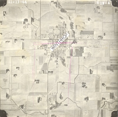
Notes on front include hand-drawn pink vertical and horizontal lines and a sticker which reads "WINTHROP."
Work Order No.
61
Agreement No.
54679
Statewide Project No.
65
State Project No.
0805, 5204, 7202
Focal Length
152.22 mm
Physical Format
Black and White Physical Aerial Photograph
Dimensions
9 x 9
Item Type
Still Image
Collection Name
Minnesota Department of Transportation District 7 Air Photo Collection, 1957-2006
Contributing Organization
Dr. Mary T. Dooley Map Library, Memorial Library, Minnesota State University, Mankato, P.O. Box 8419, Mankato, MN 56002-8419
Contact Information
Dr. Mary T. Dooley Map Library, Memorial Library, Minnesota State University, Mankato, P.O. Box 8419, Mankato, MN 56002-8419
Creative Commons License

This work is licensed under a Creative Commons Attribution-NonCommercial 4.0 International License
Scanning Center
Dr. Mary T. Dooley Map Library, Memorial Library, Minnesota State University, Mankato, P.O. Box 8419, Mankato, MN 56002-8419
Object File Name
MnDOT_1966_66F-17_AUW-4a.tif
Date Digital
2021-05-13
Item Digital Format
Image/tiff
Master File Format
Image/tiff
Master File Size
92404854
Master File Bit Depth
24
Master File Resolution
800 dpi
Master File Width
7195
Master File Height
7100
Master File Hardware
Epson Expression 10000XL
Master File Software
VueScan
Master File System
Windows 10
Master File Checksum
2629d76400d0e99d1d7441e31d0ff095
Keywords
mndot, air photos, aerial photography, 1966, winthrop, allen lakebed, mud lakebed, ditch, railroad

