• Home
  • Search
  • Browse Collections
  • My Account
  • About
  • DC Network Digital Commons Network™
Skip to main content
Cornerstone: A Collection of Scholarly and Creative Works for Minnesota State University, Mankato
  • Home
  • About
  • FAQ
  • My Account

Home > MAPS > MAPS-MNDOT7-AIR-PHOTOS > MNDOT7-1966-66F-17

1966 Aerial Survey Project No. 66F-17 (AUW)

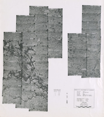
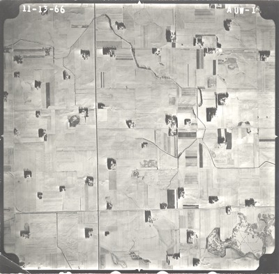
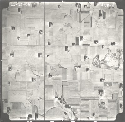
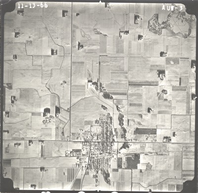
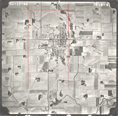
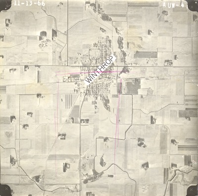
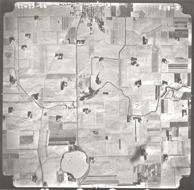
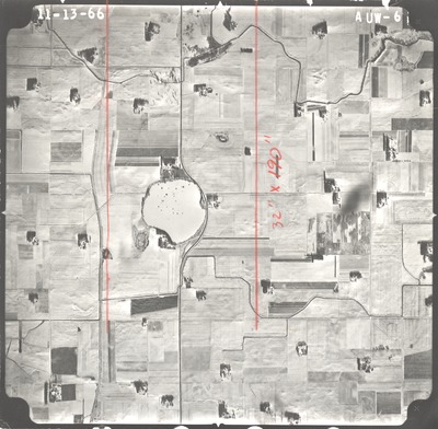
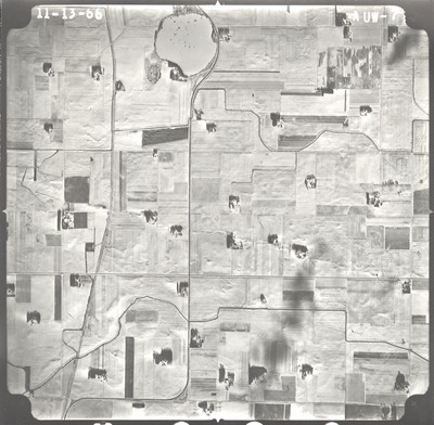
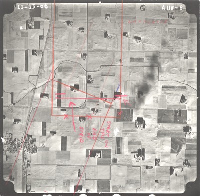
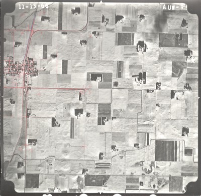
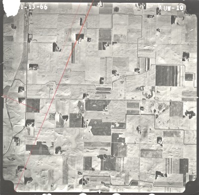
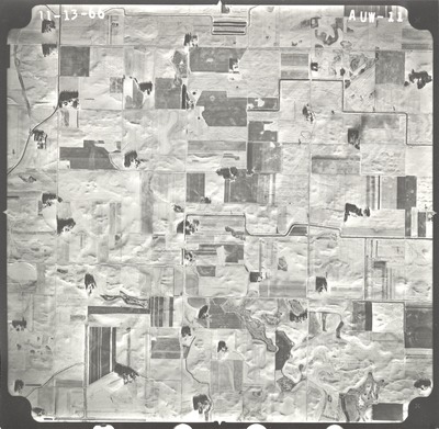
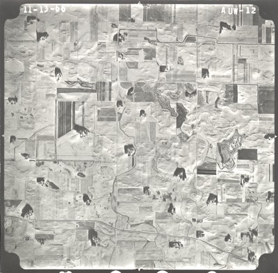
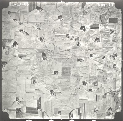
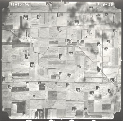
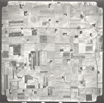
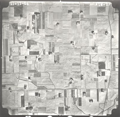
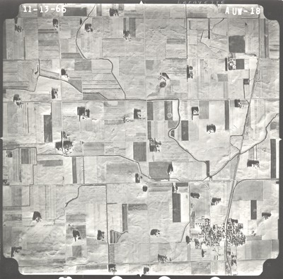
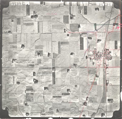
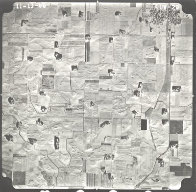
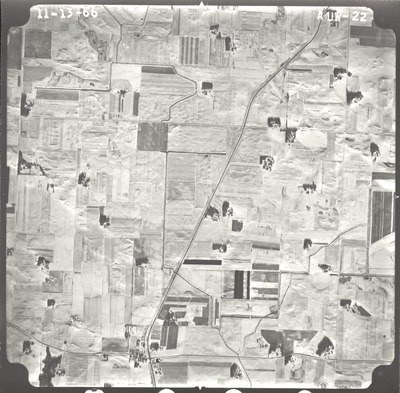
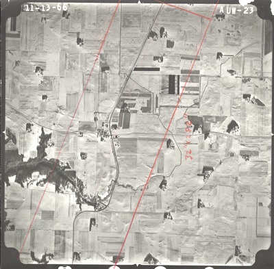
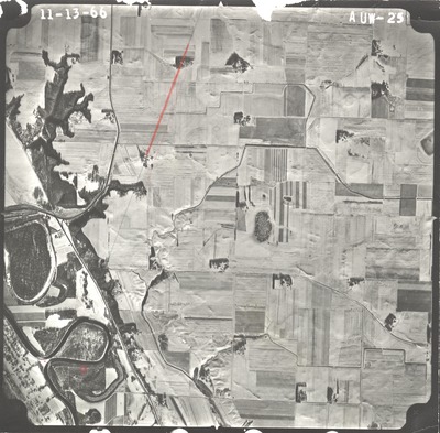
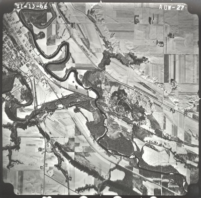
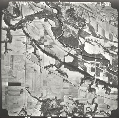
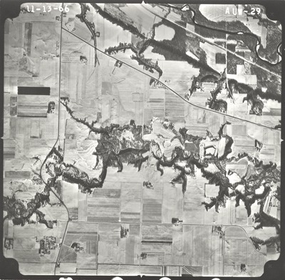
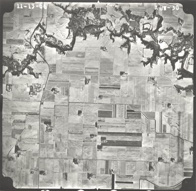
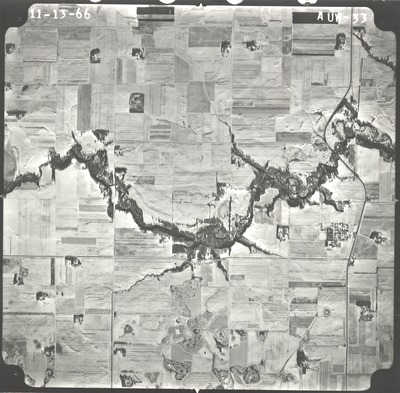
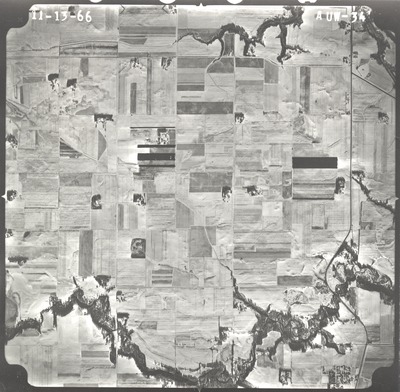
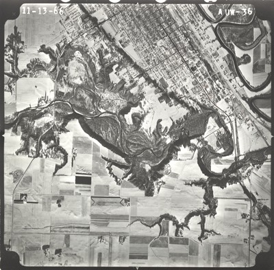
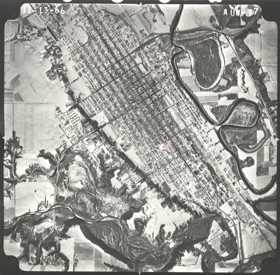
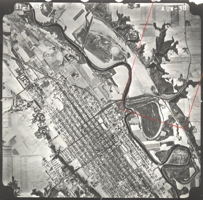
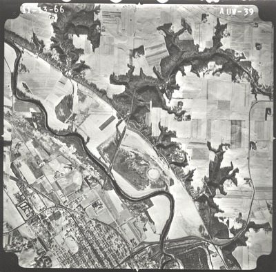
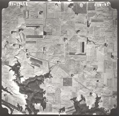
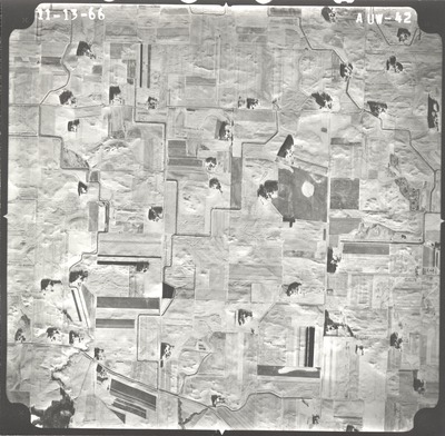
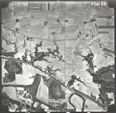
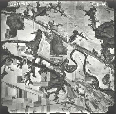
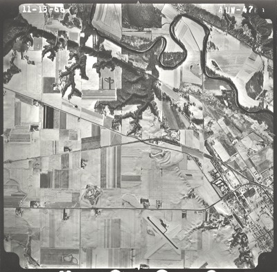
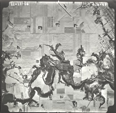
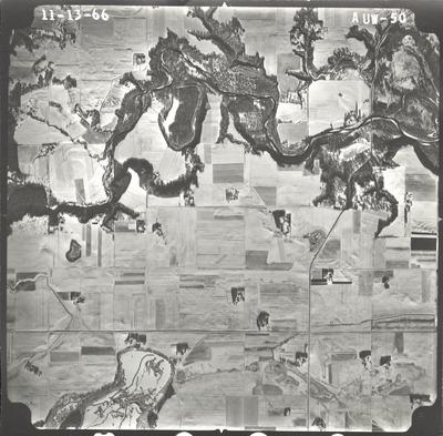
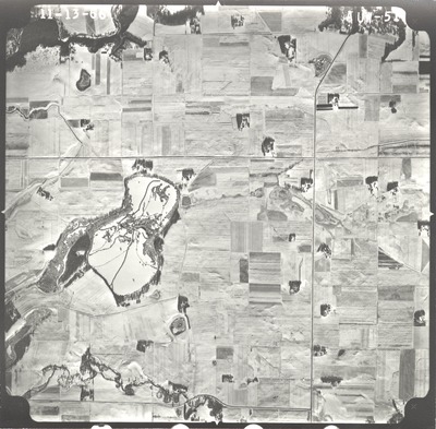
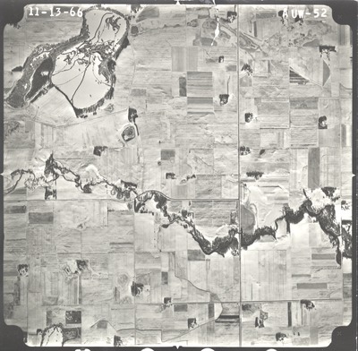
Aerial survey project no. 66F-17 was flown on November 13, 1966. These photos are a verbal scale of 1"=2,000'. The flight lines follow a north-south direction and provide coverage for highway 15 from New Ulm to Winthrop.

Printing is not supported at the primary Gallery Thumbnail page. Please first navigate to a specific Image before printing.

Follow

Switch View to List View Slideshow
 
  • AUW-43 by Mark Hurd Aerial Surveys, Inc. Minneapolis, Minnesota

    AUW-43

  • AUW-45 by Mark Hurd Aerial Surveys, Inc. Minneapolis, Minnesota

    AUW-45

  • AUW-46 by Mark Hurd Aerial Surveys, Inc. Minneapolis, Minnesota

    AUW-46

  • AUW-47 by Mark Hurd Aerial Surveys, Inc. Minneapolis, Minnesota

    AUW-47

  • AUW-48 by Mark Hurd Aerial Surveys, Inc. Minneapolis, Minnesota

    AUW-48

  • AUW-49 by Mark Hurd Aerial Surveys, Inc. Minneapolis, Minnesota

    AUW-49

  • AUW-50 by Mark Hurd Aerial Surveys, Inc. Minneapolis, Minnesota

    AUW-50

  • AUW-51 by Mark Hurd Aerial Surveys, Inc. Minneapolis, Minnesota

    AUW-51

  • AUW-52 by Mark Hurd Aerial Surveys, Inc. Minneapolis, Minnesota

    AUW-52

 
  • 1
  • 2
  • 3


Search

Advanced Search

  • Notify me via email or RSS

Author Corner

  • All Authors
  • Author FAQ
  • Submit Research

University Resources

  • ARCH: University Archives Digital Collections
  • Library Services
  • Minnesota State University, Mankato
  • Contact Us
Minnesota State University Mankato Minnesota State
 
Elsevier - Digital Commons

Home | About | FAQ | My Account | Accessibility Statement

Privacy Copyright