

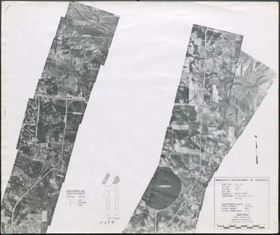
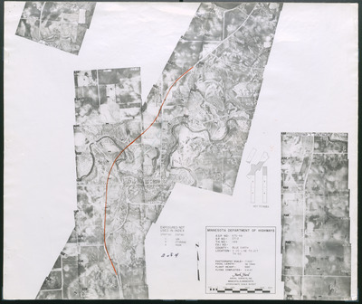
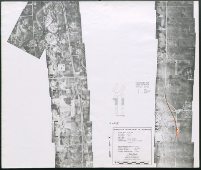
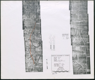
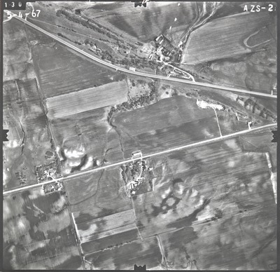
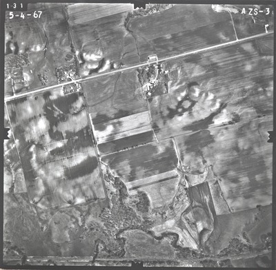
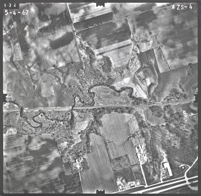
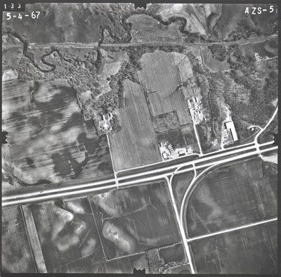
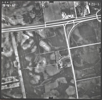
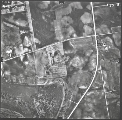
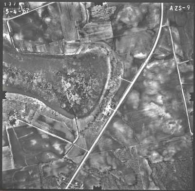
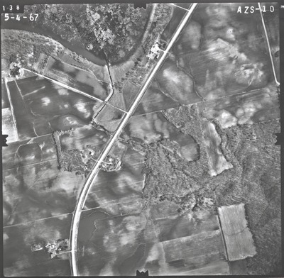
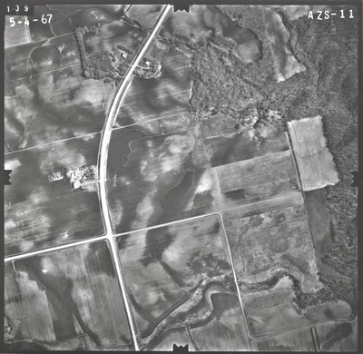
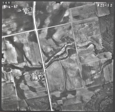
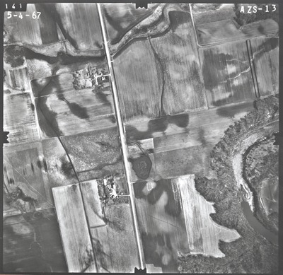
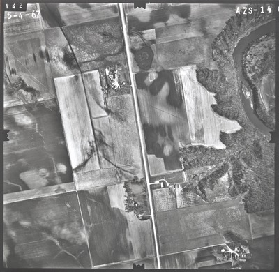
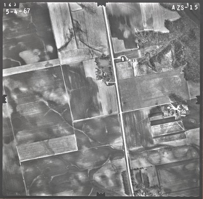
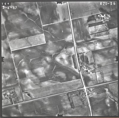
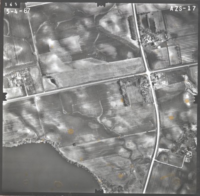
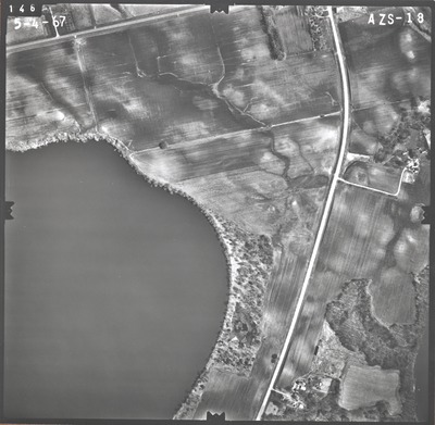
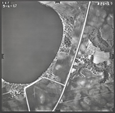
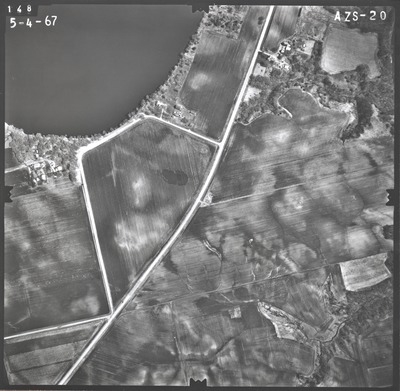
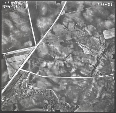
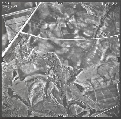
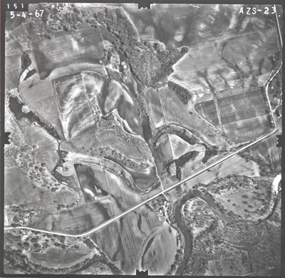
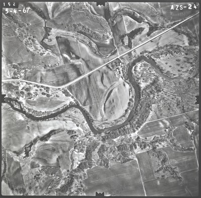
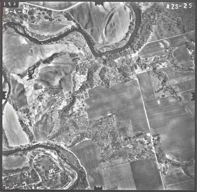
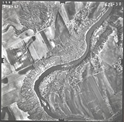
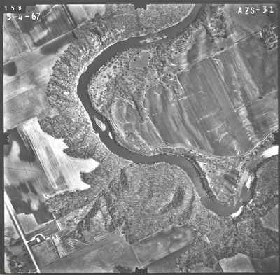
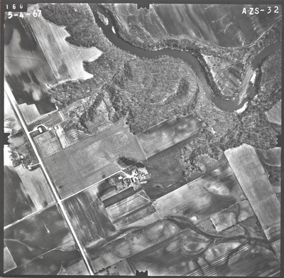
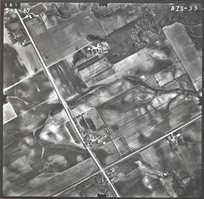
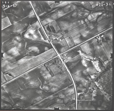
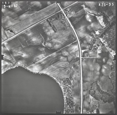
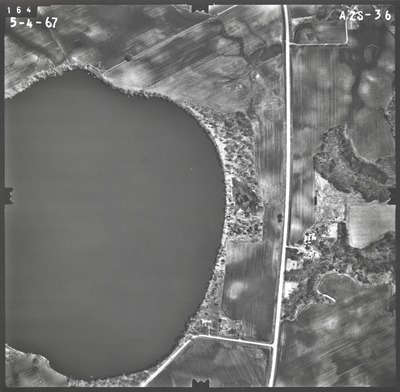
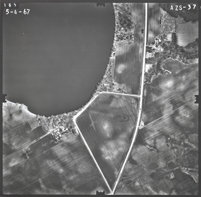
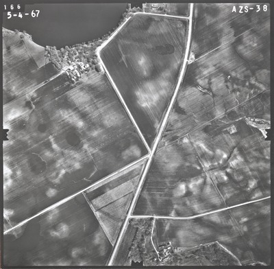
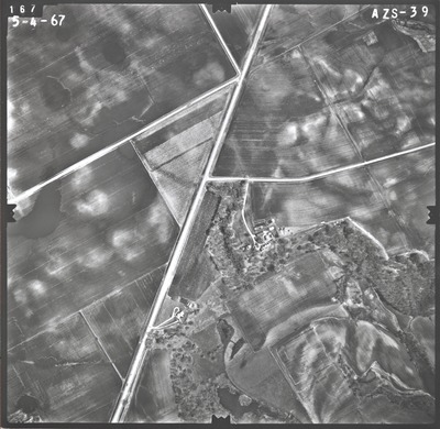
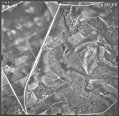
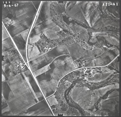
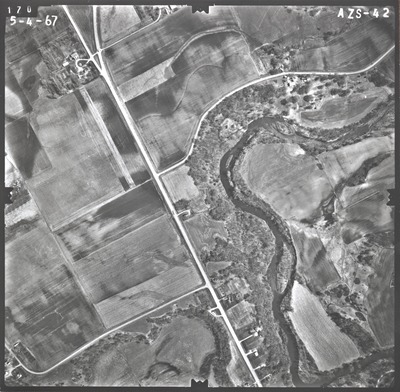
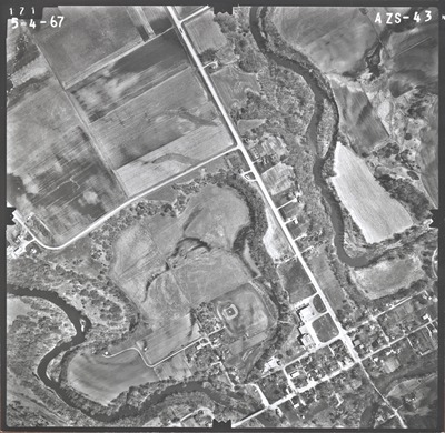
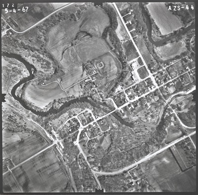
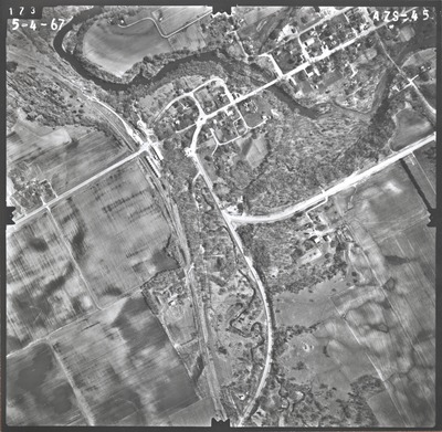
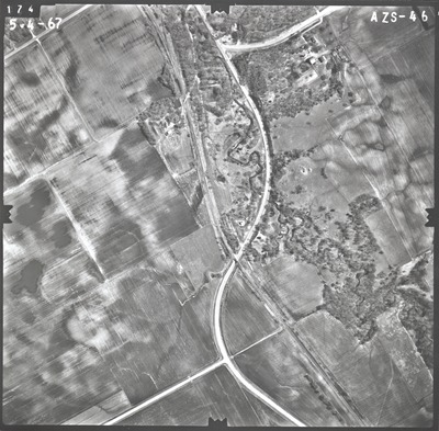
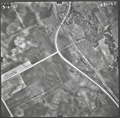
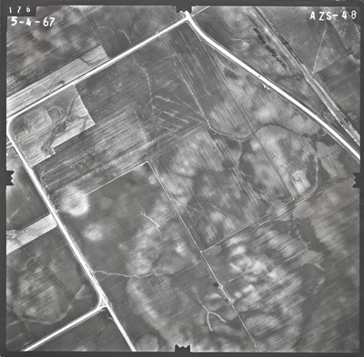
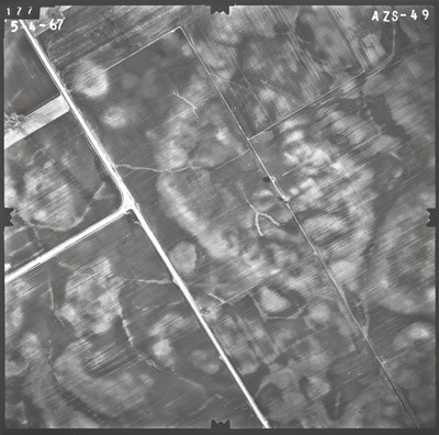
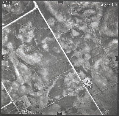
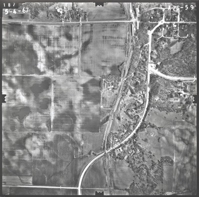
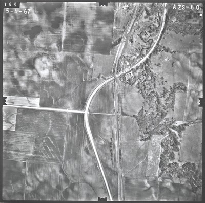
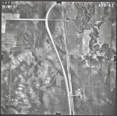
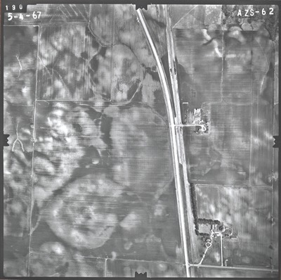
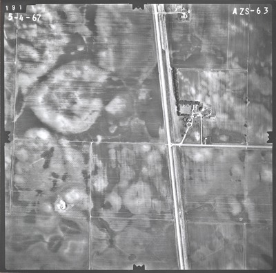
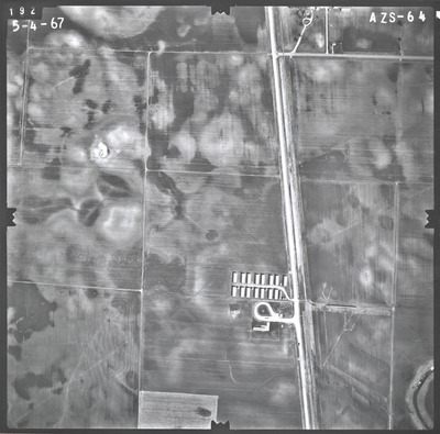
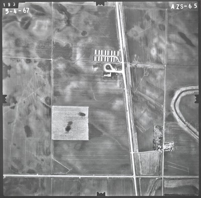
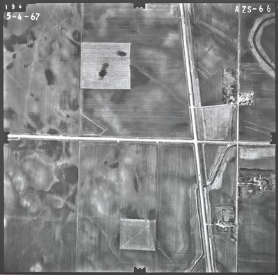
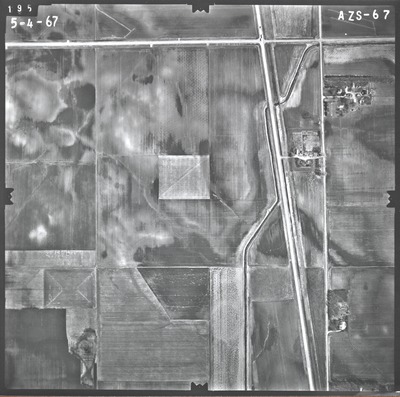
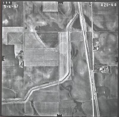
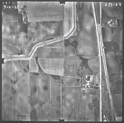
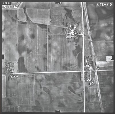
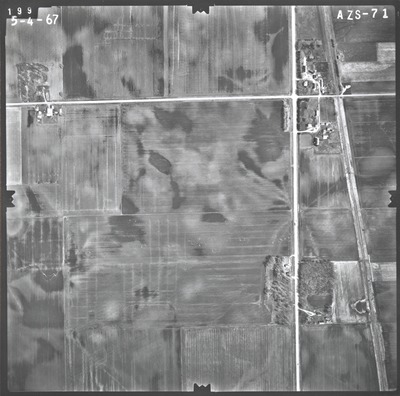
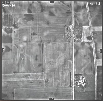
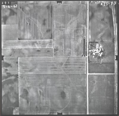
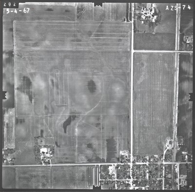
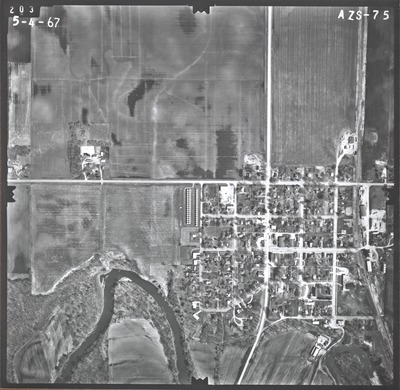
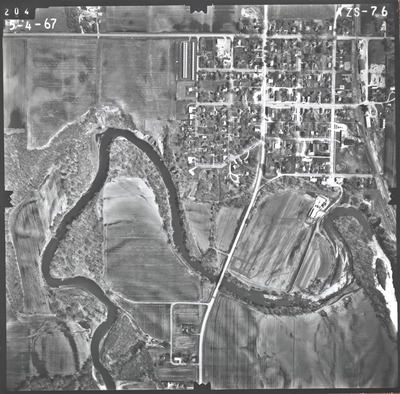
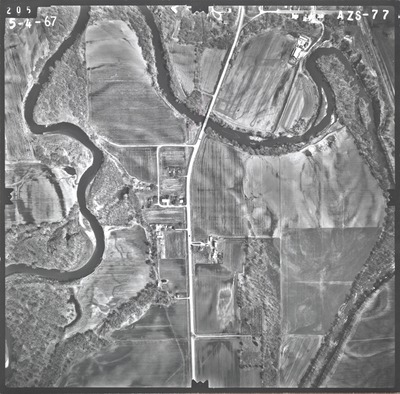
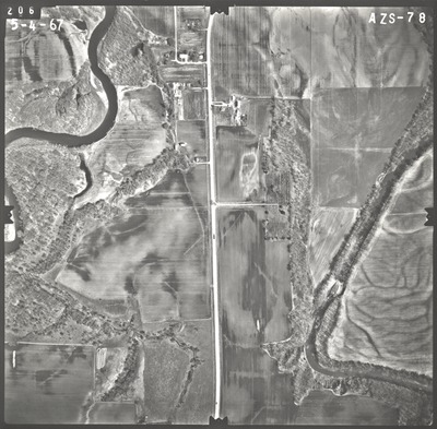
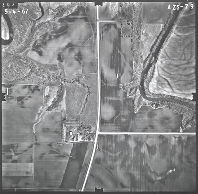
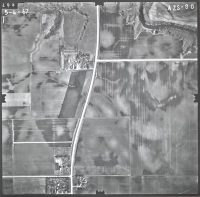
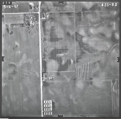
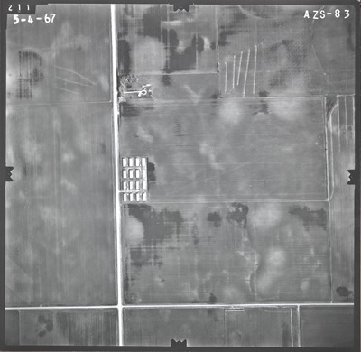
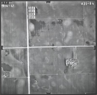
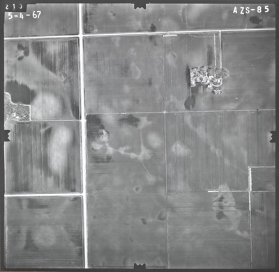
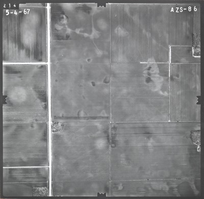
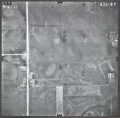
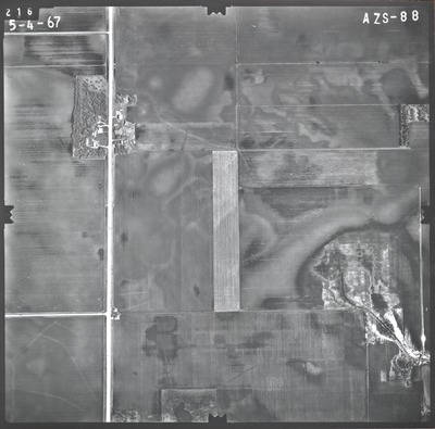
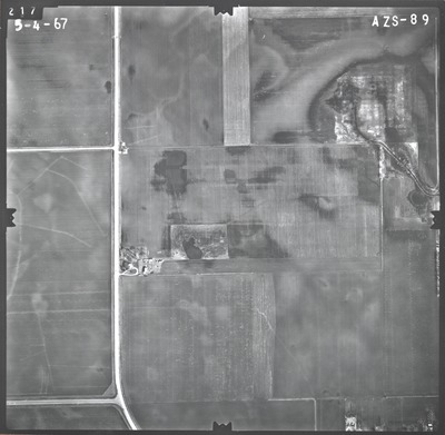
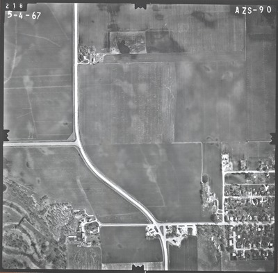
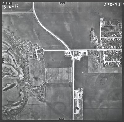
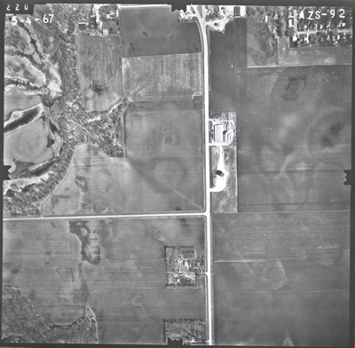
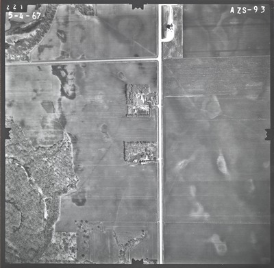
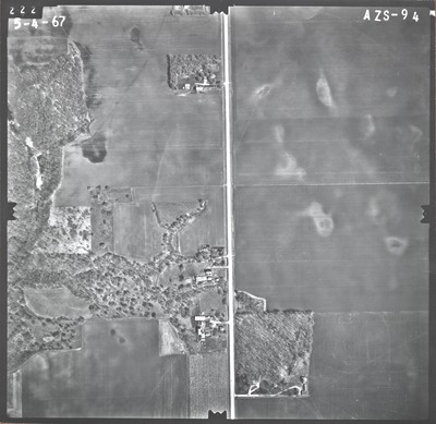
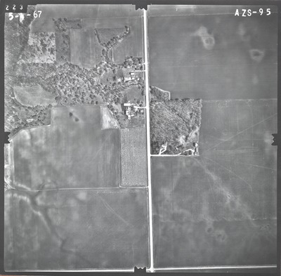
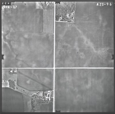
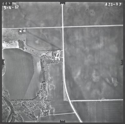
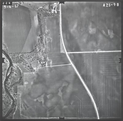
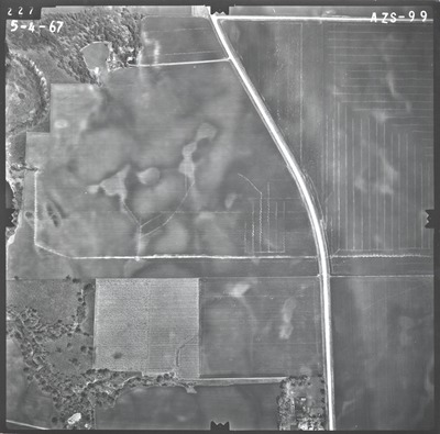
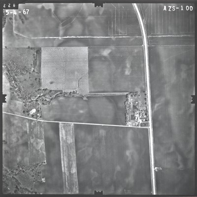
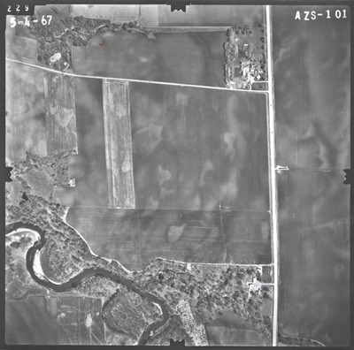
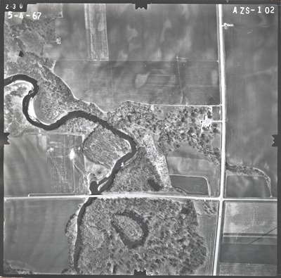
Aerial survey project no. 67S-46 was flown on May 4, 1967. These photos are a verbal scale of 1''=500'. The flight lines provide coverage for highway 169 south of the Blue Earth County line to south of Amboy. ASP No. 67S-46 includes index sheets 1, 2, 3, and 4.


