

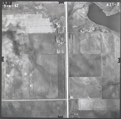
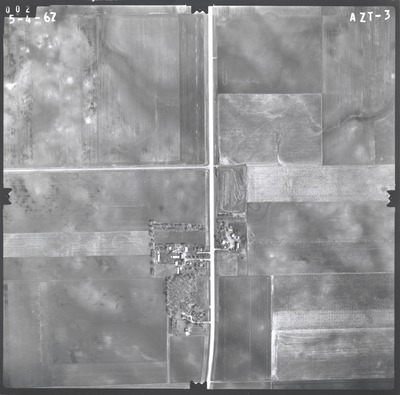
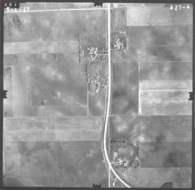
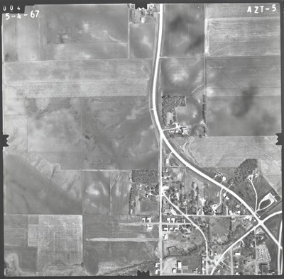
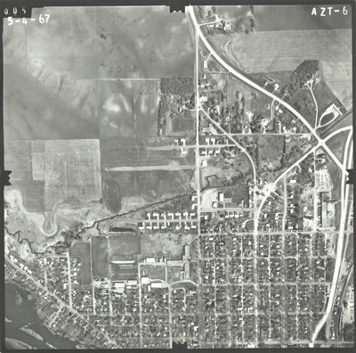
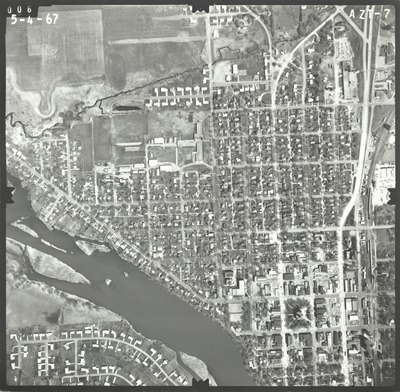
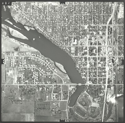
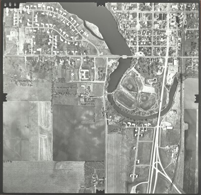
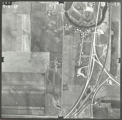
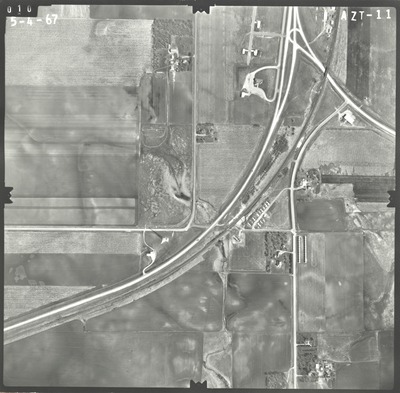
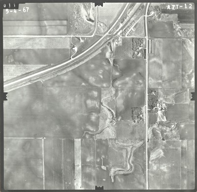
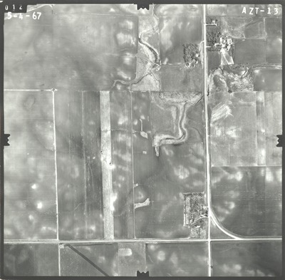
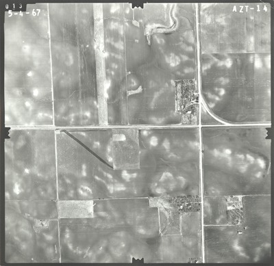
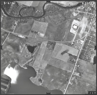
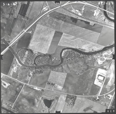
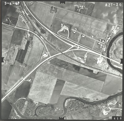
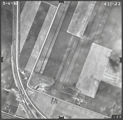
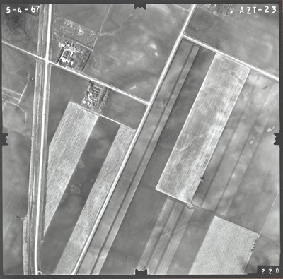
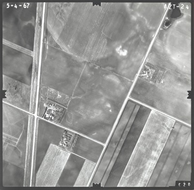
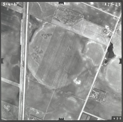
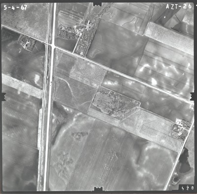
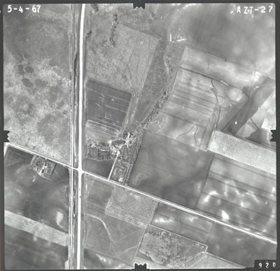
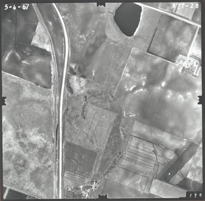
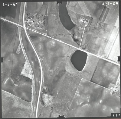
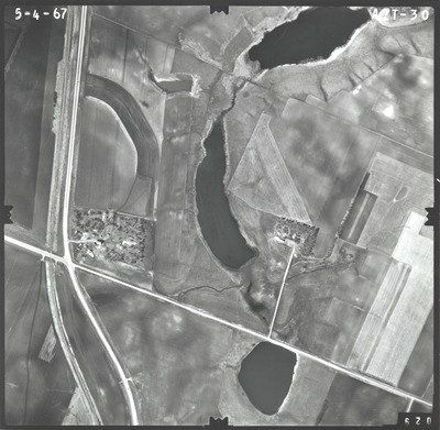
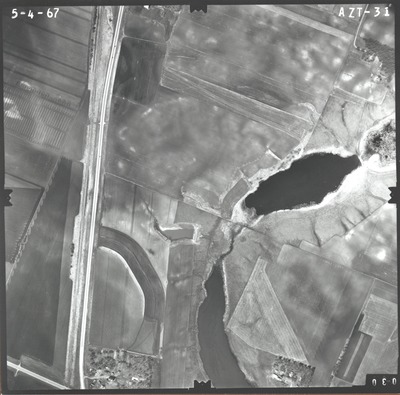
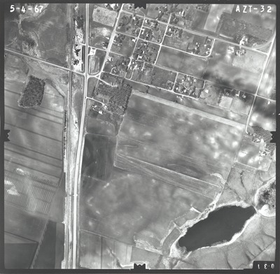
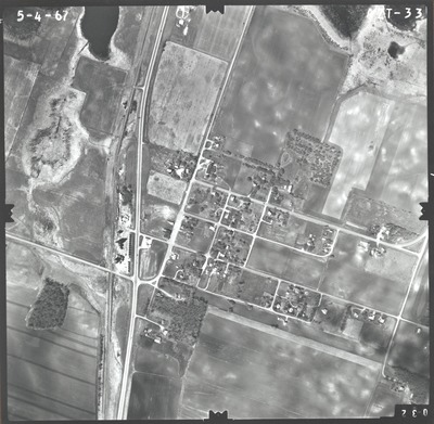
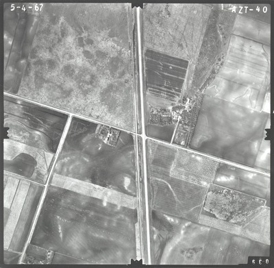
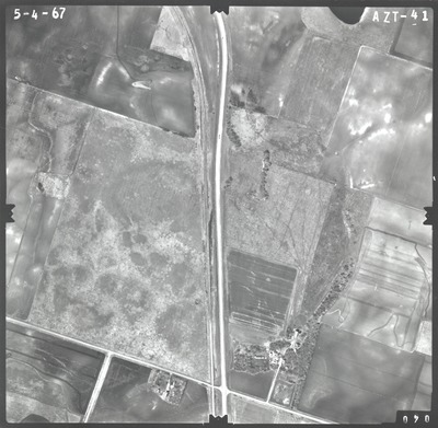
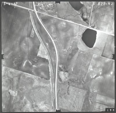
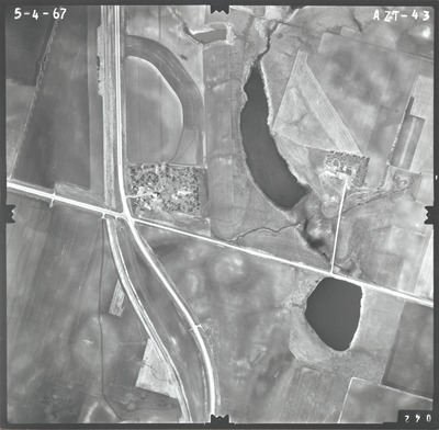
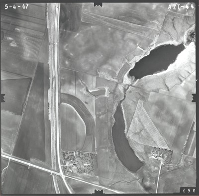
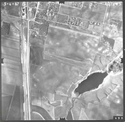
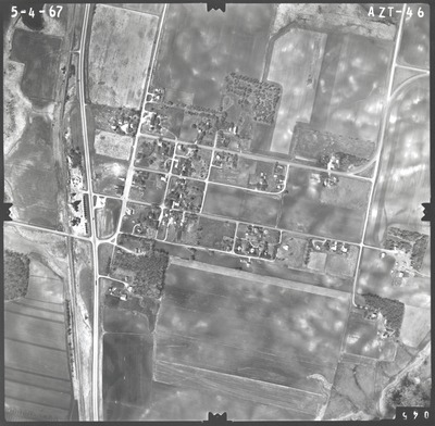
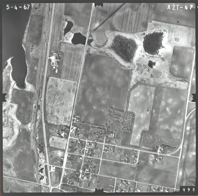
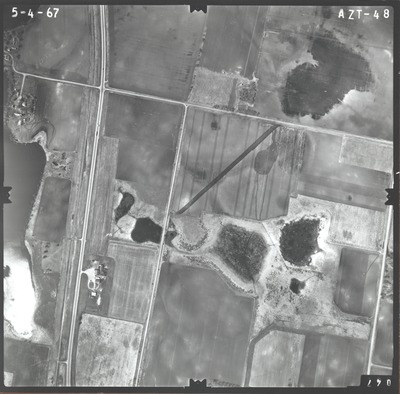
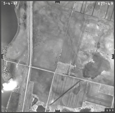
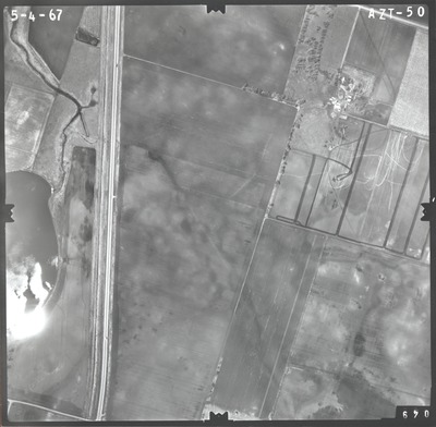
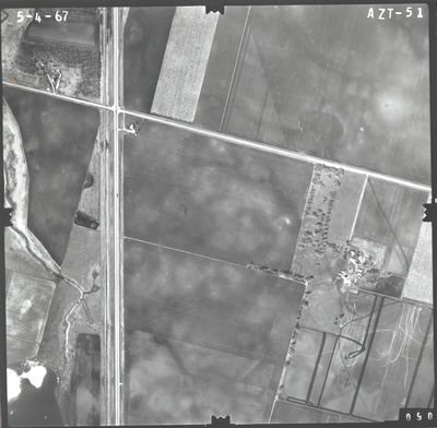
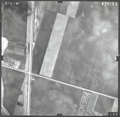
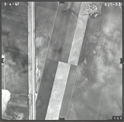
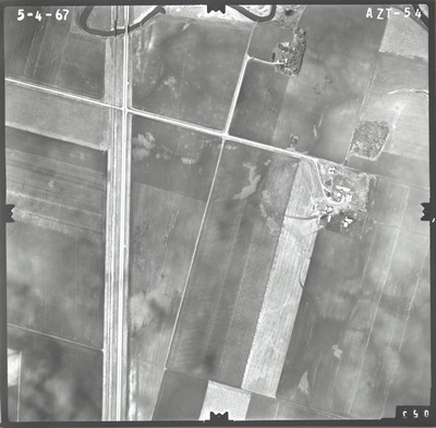
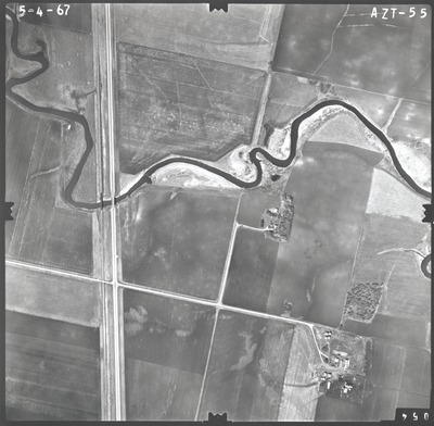
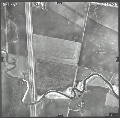
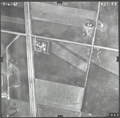
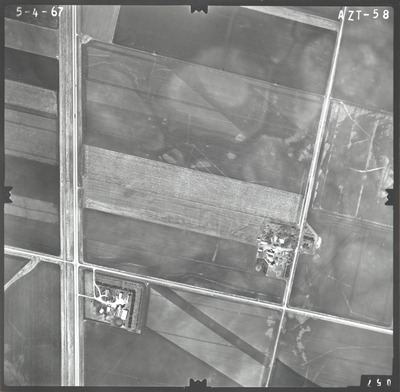
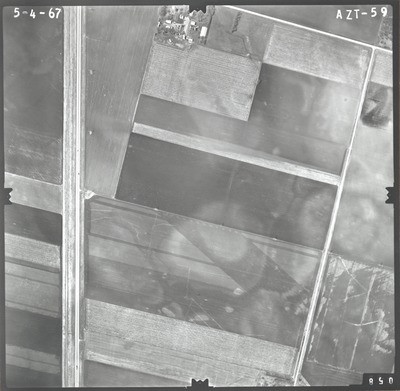
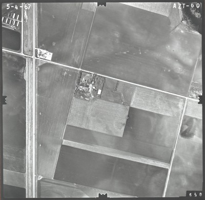
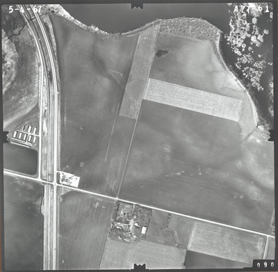
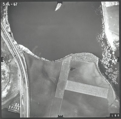
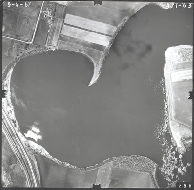
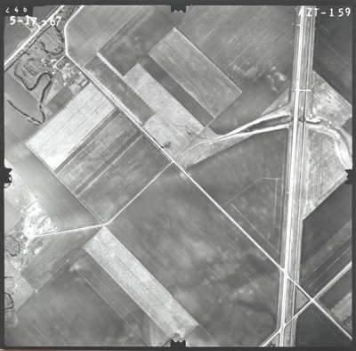
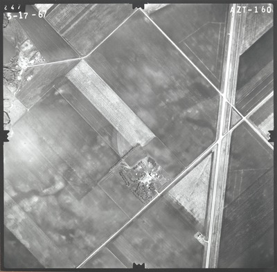
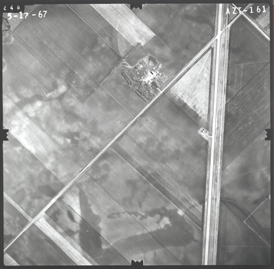
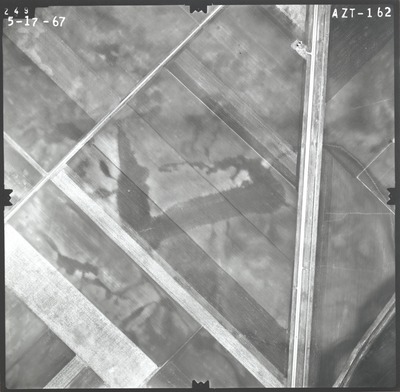
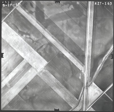
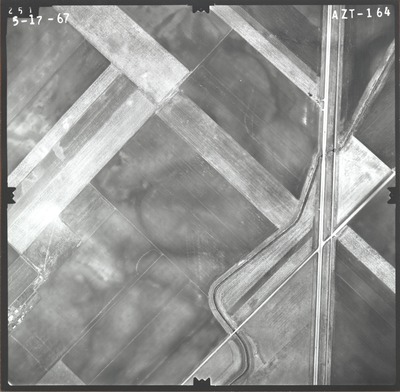
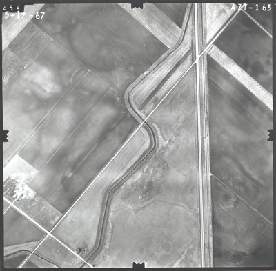
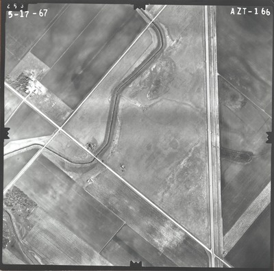
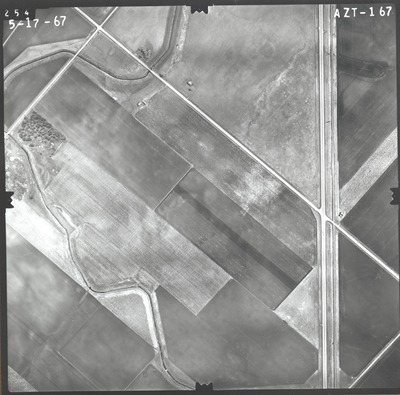
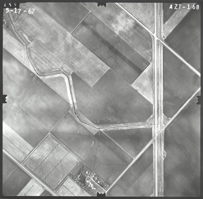
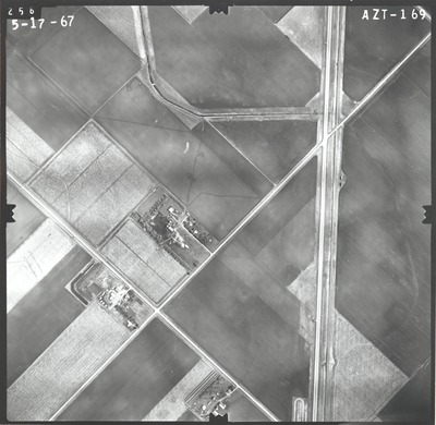
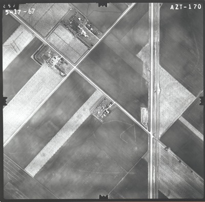
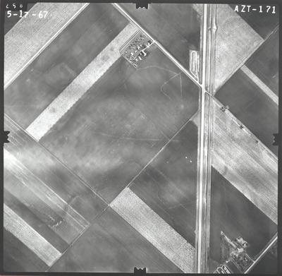
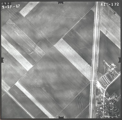
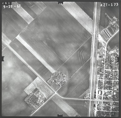
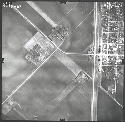
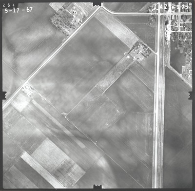
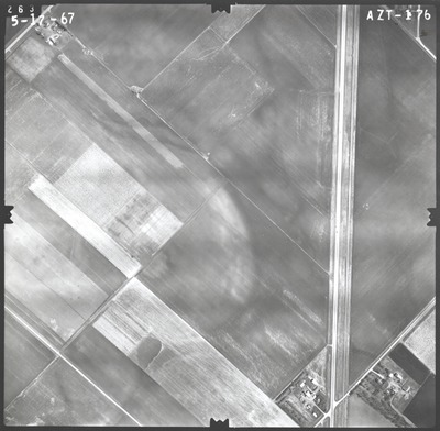
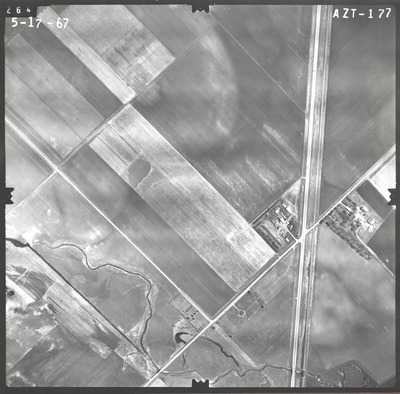
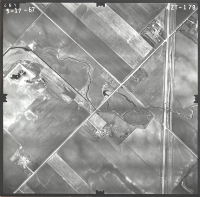
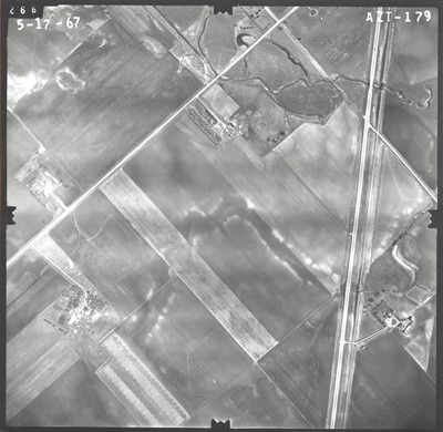
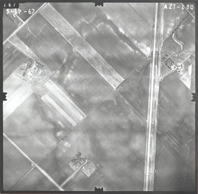
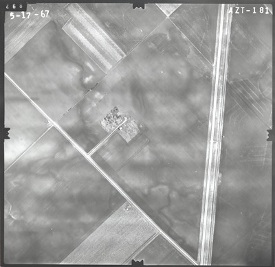
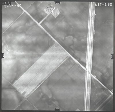
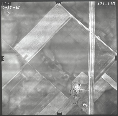
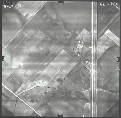
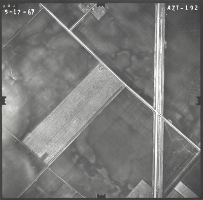
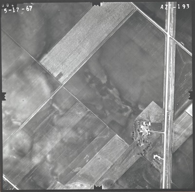
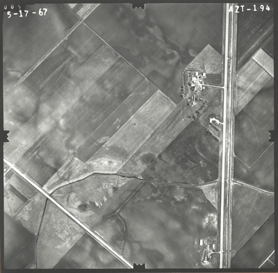
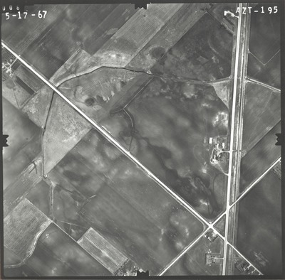
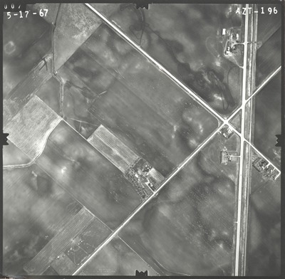
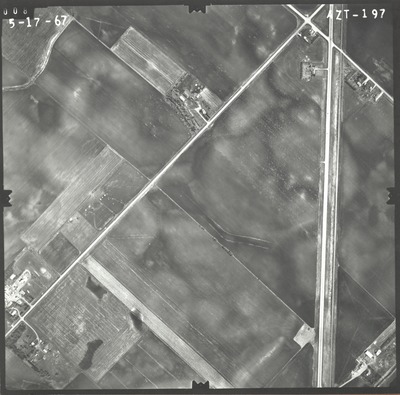
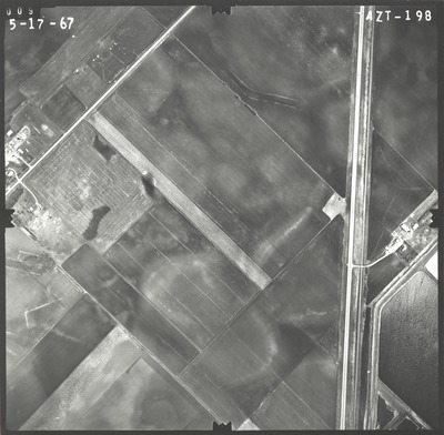
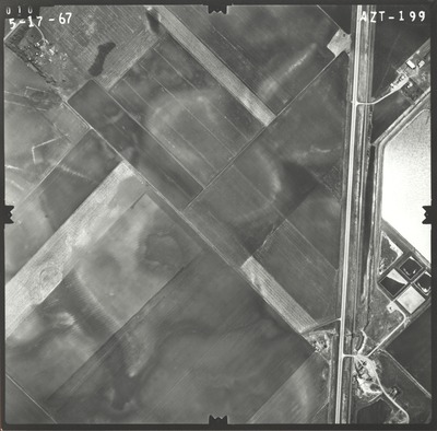
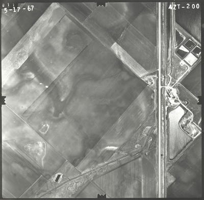
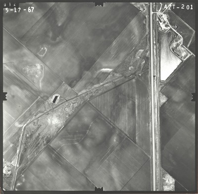
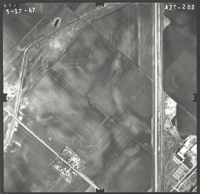
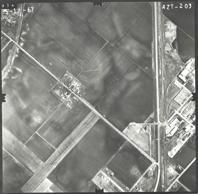
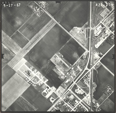
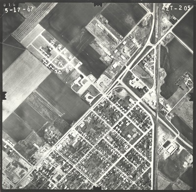
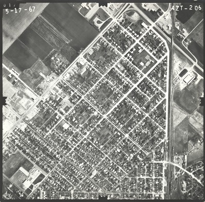
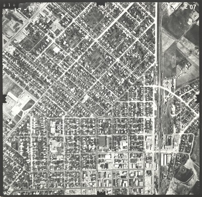
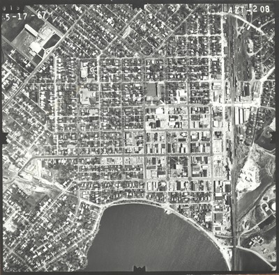
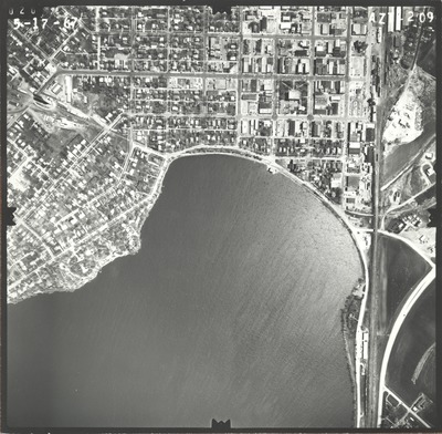
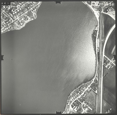
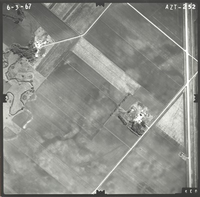
Aerial survey project no. 67S-48 was flown on May 4, May 17, and June 3, 1967. These photos are a verbal scale of 1"=500'. The flight lines provide coverage for highway 60 from Worthington to Windom.
Printing is not supported at the primary Gallery Thumbnail page. Please first navigate to a specific Image before printing.


