

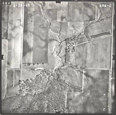
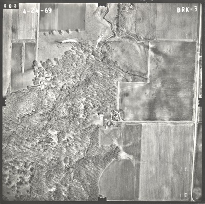
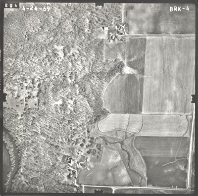
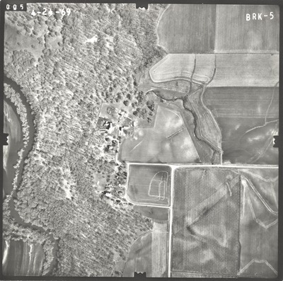
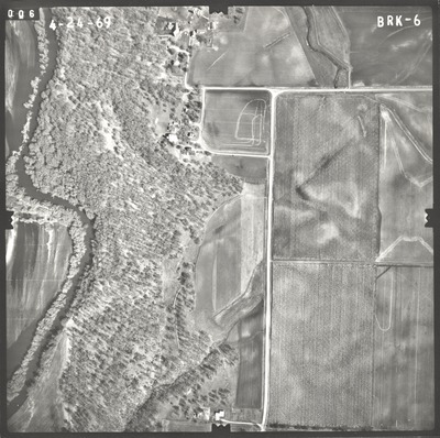
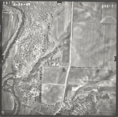
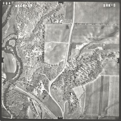
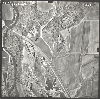
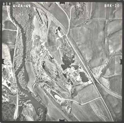
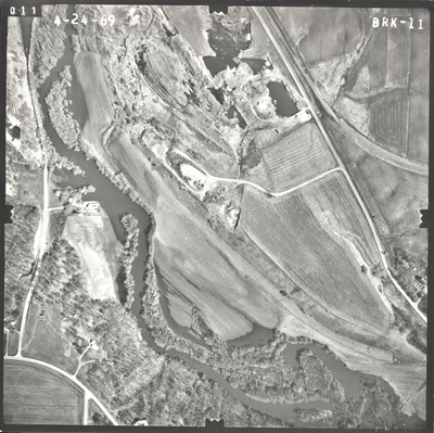
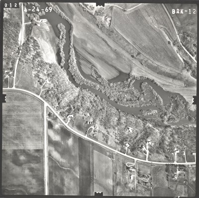
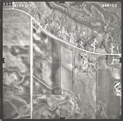
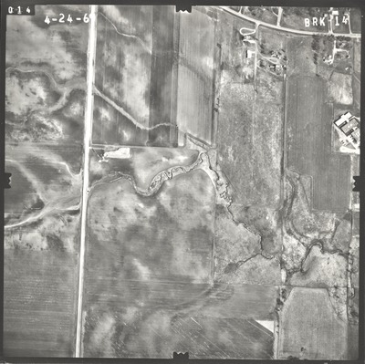
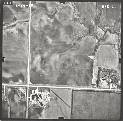
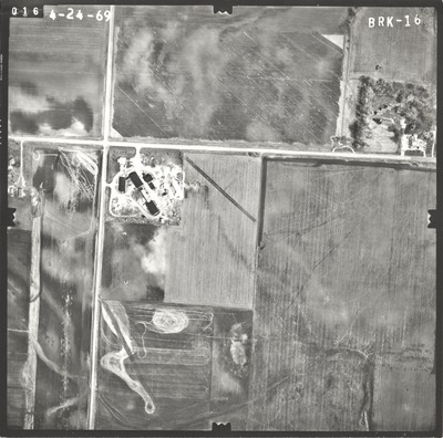
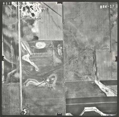
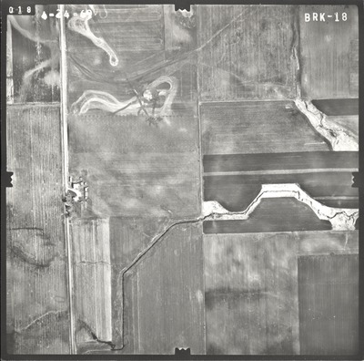
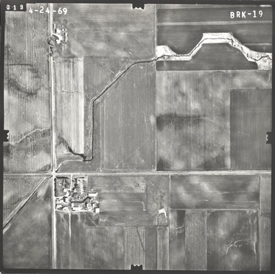
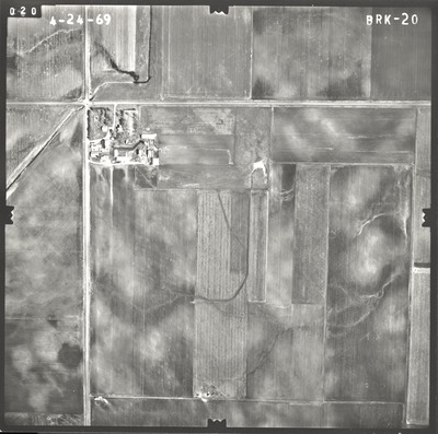
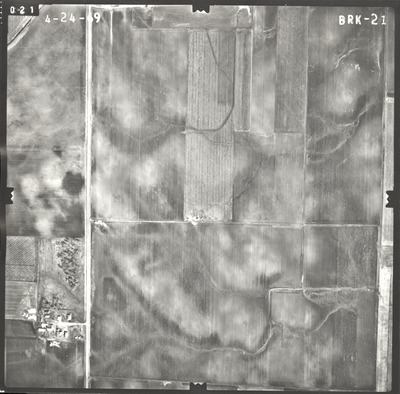
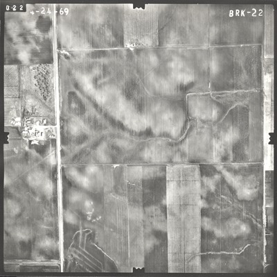
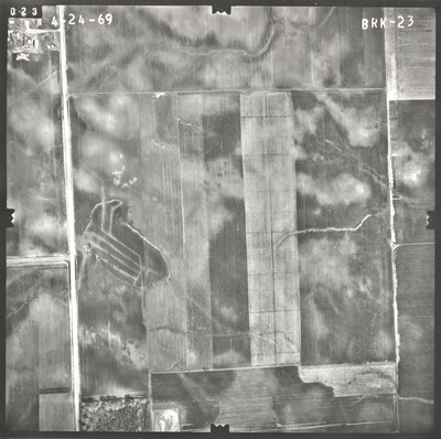
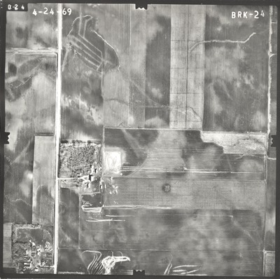
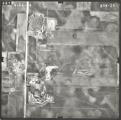
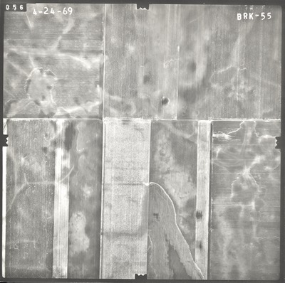
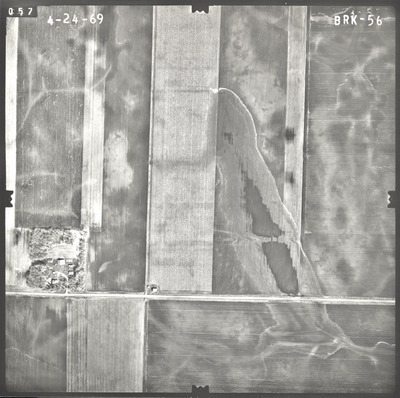
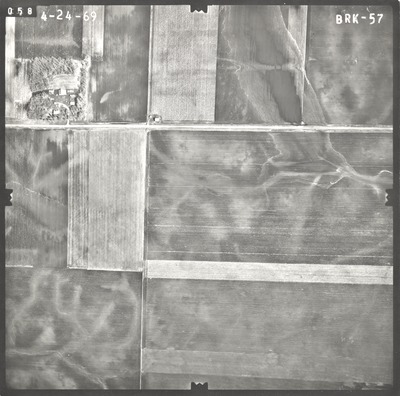
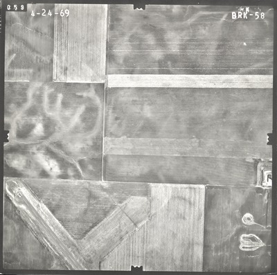
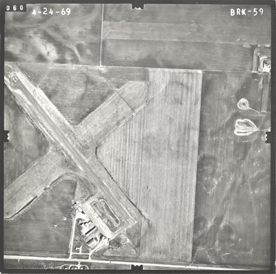
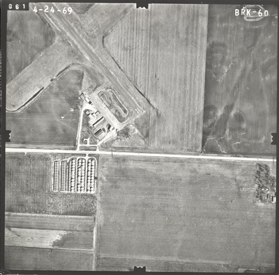
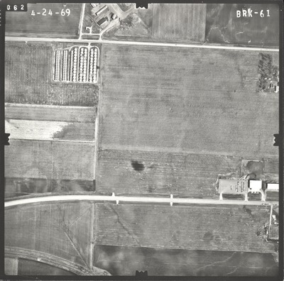
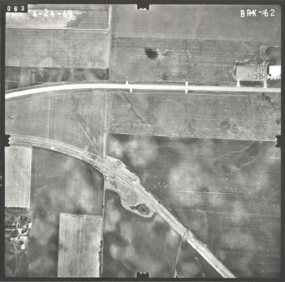
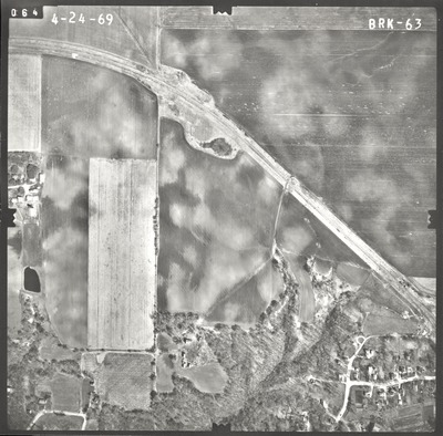
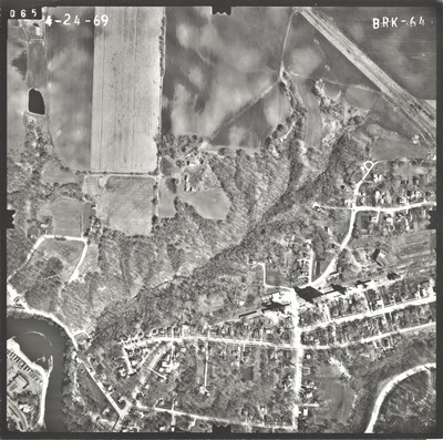
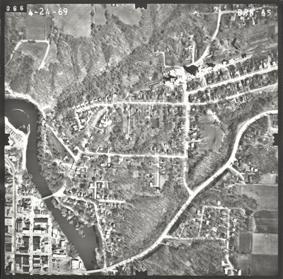
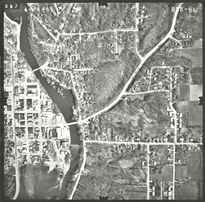
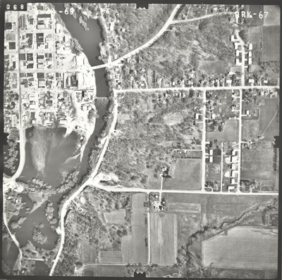
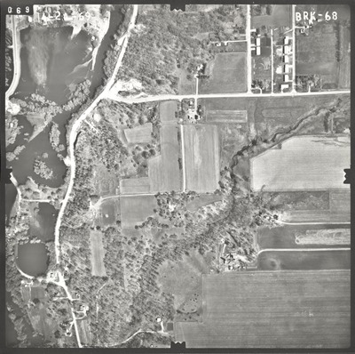
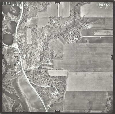
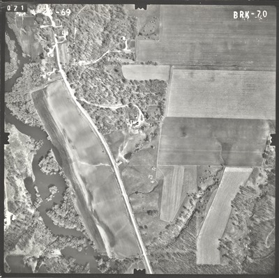
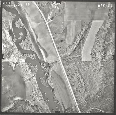
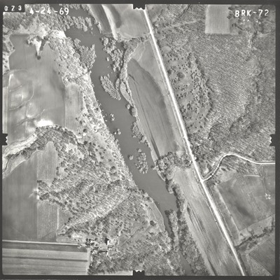
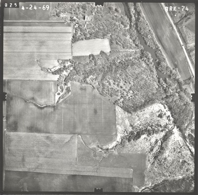
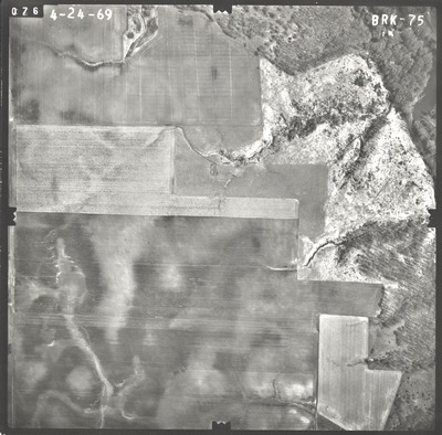
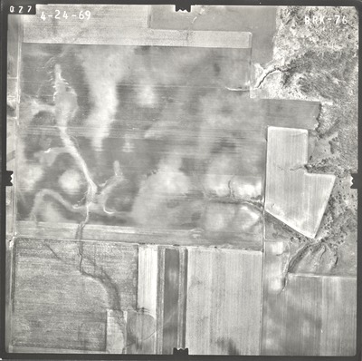
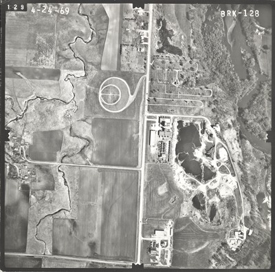
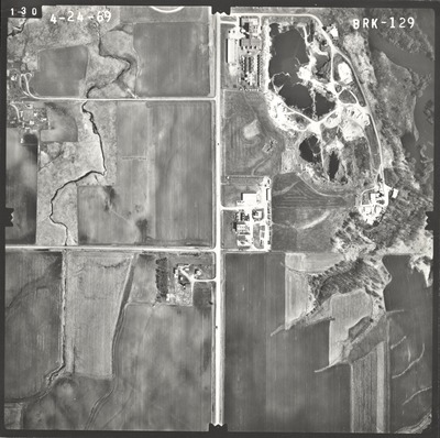
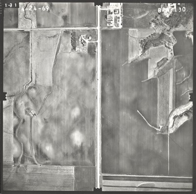
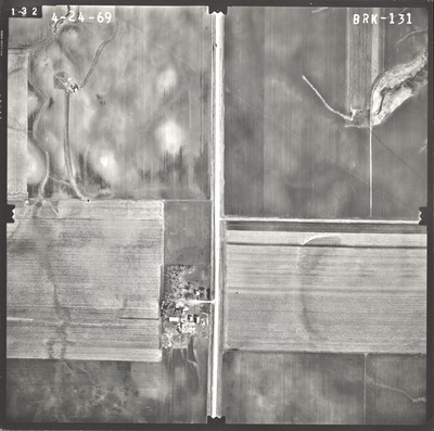
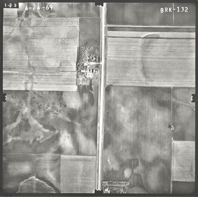
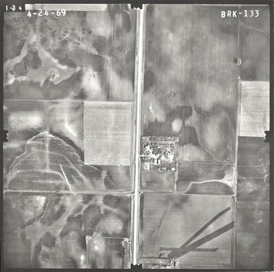
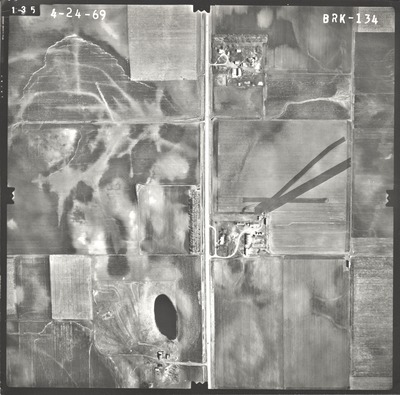
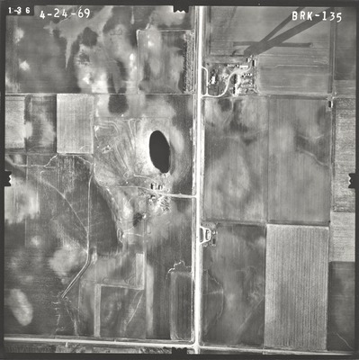
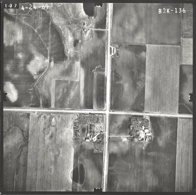
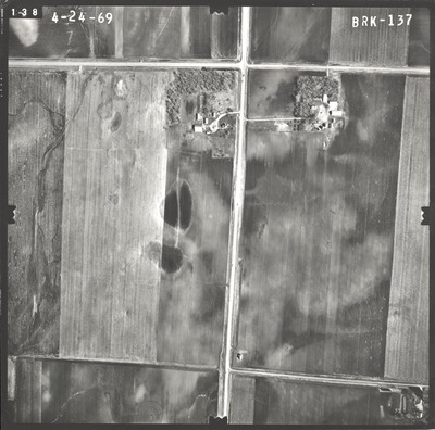
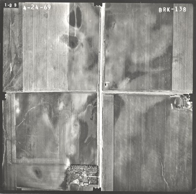
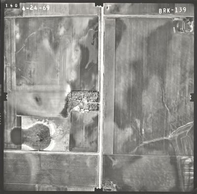
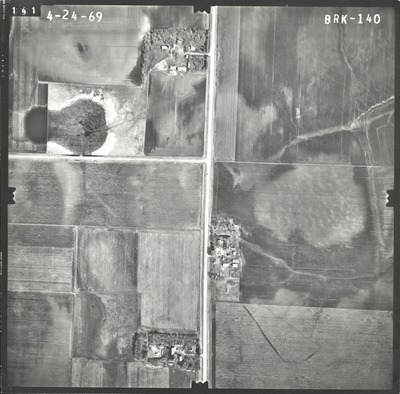
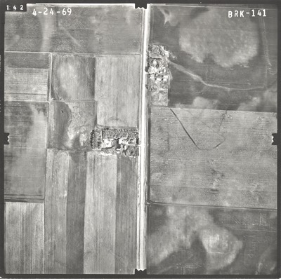
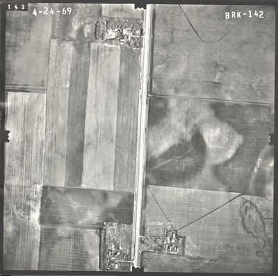
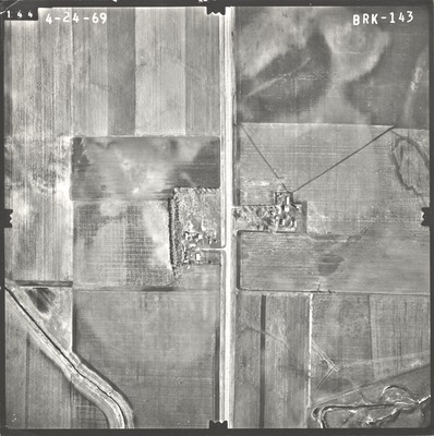
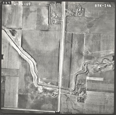
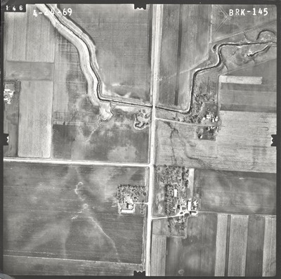
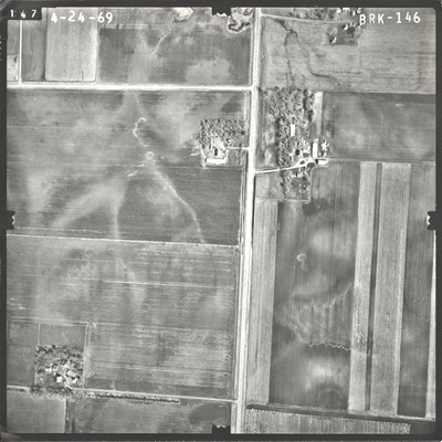
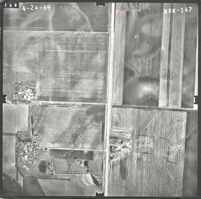
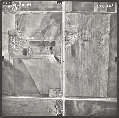
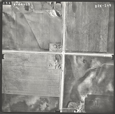
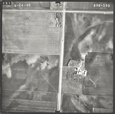
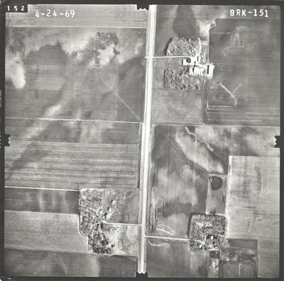
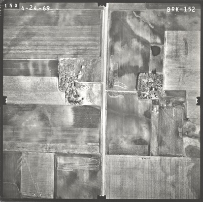
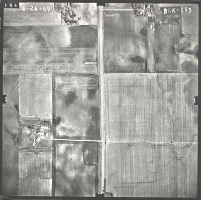
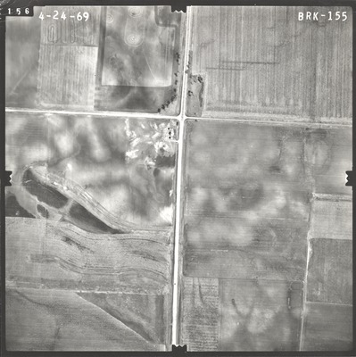
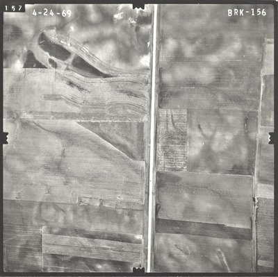
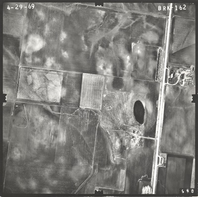
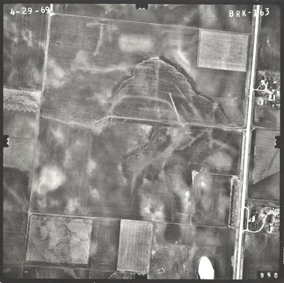
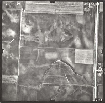
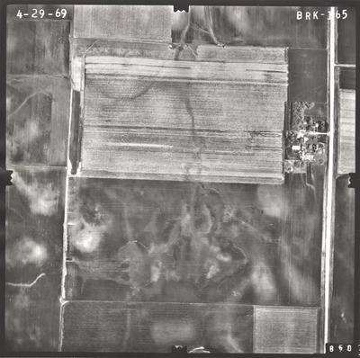
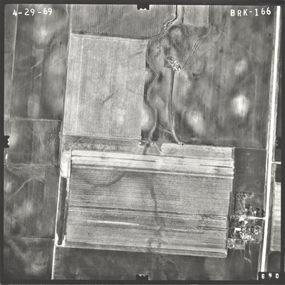
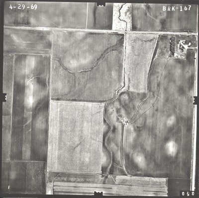
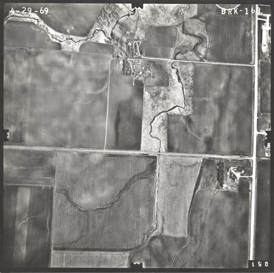
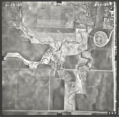
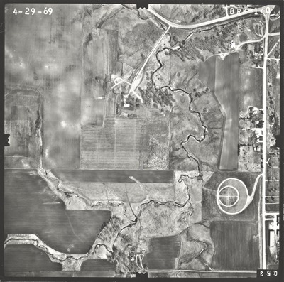
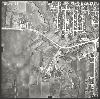
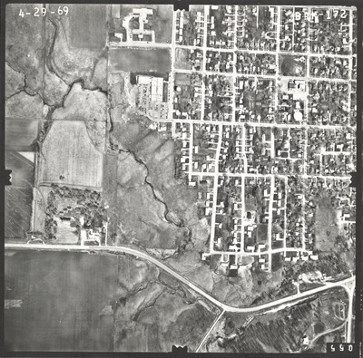
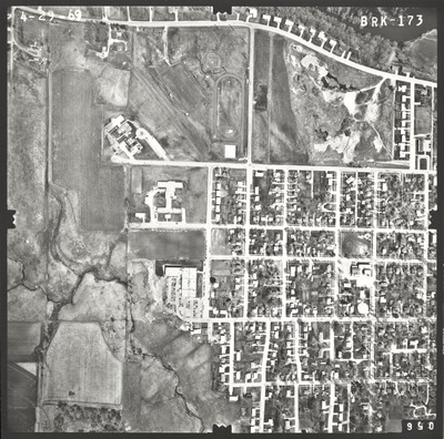
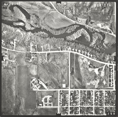
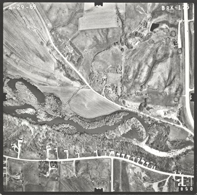
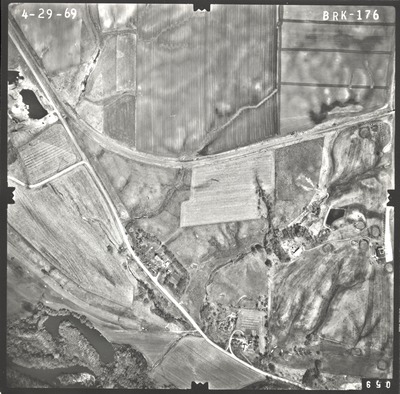
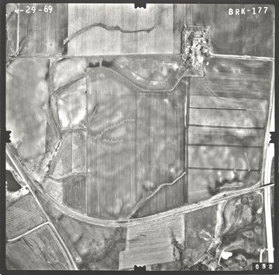
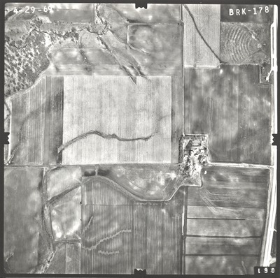
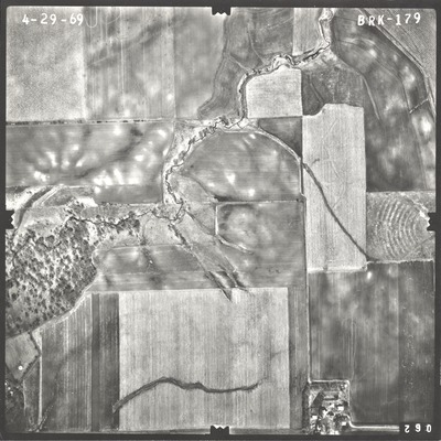
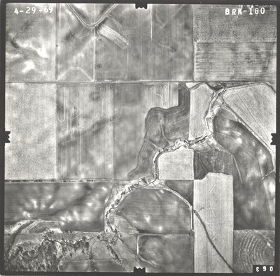
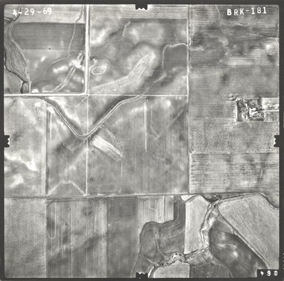
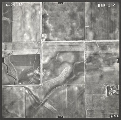
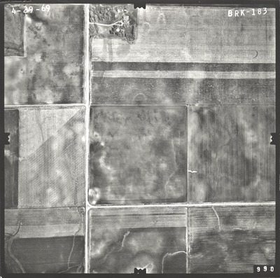
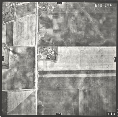
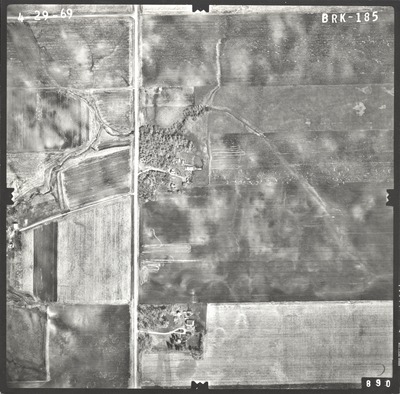
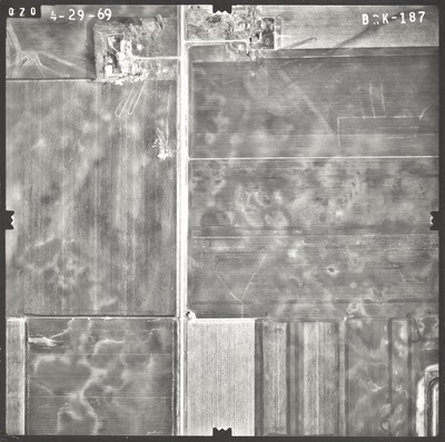
Aerial survey project no. 69S-24 was flown on April 24 and April 29, 1969. These photos are a verbal scale of 1"=400'. The flight line follows a north-south direction and provides coverage for highways 16 and 71 from Jackson to the southern State Line.
Printing is not supported at the primary Gallery Thumbnail page. Please first navigate to a specific Image before printing.


