

Preview
Flight Code
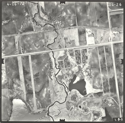
COG
Date Flown
Spring 4-16-1972
Aerial Survey Project No. (A.S.P. No.)
72S-34
County
Martin
Trunk Highway (T.H.)
I-90
Location
I-90 0.5 mi. W. TH 15 to 3 mi. E. of TH 15
Center Latitude
43°40'30.11"N
Center Longitude
94°26'43.62"W
Scale
1''=500'
Flight Height
3000
Work Order No.
38
Agreement No.
56854
State Project No.
4680
Focal Length
152.36 mm
Physical Format
Black and White Physical Aerial Photograph
Dimensions
9 x 9
Item Type
Still Image
Collection Name
Minnesota Department of Transportation District 7 Air Photo Collection, 1957-2006
Contributing Organization
Dr. Mary T. Dooley Map Library, Memorial Library, Minnesota State University, Mankato, P.O. Box 8419, Mankato, MN 56002-8419
Contact Information
Dr. Mary T. Dooley Map Library, Memorial Library, Minnesota State University, Mankato, P.O. Box 8419, Mankato, MN 56002-8419
Creative Commons License

This work is licensed under a Creative Commons Attribution-NonCommercial 4.0 International License
Scanning Center
Dr. Mary T. Dooley Map Library, Memorial Library, Minnesota State University, Mankato, P.O. Box 8419, Mankato, MN 56002-8419
Object File Name
MnDOT_1972_72S-34_COG-26.tif
Date Digital
2021-09-11
Item Digital Format
Image/tiff
Master File Format
Image/tiff
Master File Size
96766008
Master File Bit Depth
24
Master File Resolution
800 dpi
Master File Width
7584
Master File Height
7487
Master File Hardware
Epson Expression 10000XL
Master File Software
VueScan
Master File System
Windows 10
Master File Checksum
5044838b0967cf6942b25783de8fb226
Keywords
mndot, air photos, aerial photography, 1972, fairmont, center creek, ditch, pond, marsh, railroad, wetland

