

Preview
Flight Code
COH
Date Flown
Spring 4-16-1972
Aerial Survey Project No. (A.S.P. No.)
72S-36
County
Faribault
Trunk Highway (T.H.)
I-90
Location
West Faribault Co. Line to 3 mi. W. of TH 169
Center Latitude
43°39'59.10"N
Center Longitude
94°14'11.61"W
Scale
1''=250'
Flight Height
1500
Notes
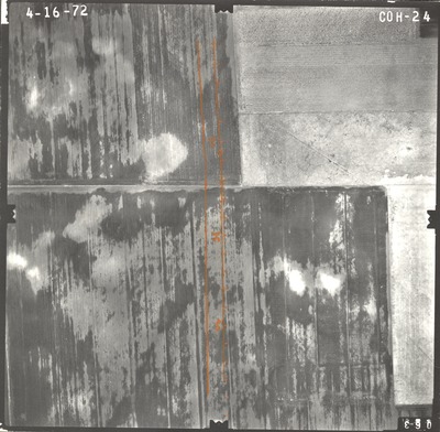
Notes on front include hand-drawn road construction plans. Notes include orange parallel lines with tick marks and data reads "30, 35, 40."
Work Order No.
38
Agreement No.
56854
State Project No.
2280
Focal Length
152.36 mm
Physical Format
Black and White Physical Aerial Photograph
Dimensions
9 x 9
Item Type
Still Image
Collection Name
Minnesota Department of Transportation District 7 Air Photo Collection, 1957-2006
Contributing Organization
Dr. Mary T. Dooley Map Library, Memorial Library, Minnesota State University, Mankato, P.O. Box 8419, Mankato, MN 56002-8419
Contact Information
Dr. Mary T. Dooley Map Library, Memorial Library, Minnesota State University, Mankato, P.O. Box 8419, Mankato, MN 56002-8419
Creative Commons License

This work is licensed under a Creative Commons Attribution-NonCommercial 4.0 International License
Scanning Center
Dr. Mary T. Dooley Map Library, Memorial Library, Minnesota State University, Mankato, P.O. Box 8419, Mankato, MN 56002-8419
Object File Name
MnDOT_1972_72S-36_COH-24.tif
Date Digital
2021-09-11
Item Digital Format
Image/tiff
Master File Format
Image/tiff
Master File Size
102172542
Master File Bit Depth
24
Master File Resolution
800 dpi
Master File Width
7573
Master File Height
7428
Master File Hardware
Epson Expression 10000XL
Master File Software
VueScan
Master File System
Windows 10
Master File Checksum
217b1af4860d0e55ff77e0f2a9e71777
Keywords
mndot, air photos, aerial photography, 1972

