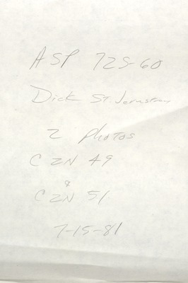
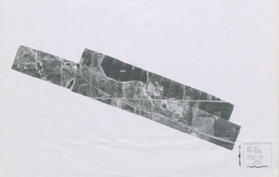
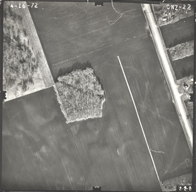
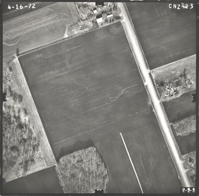
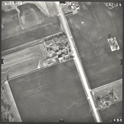
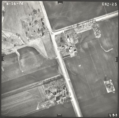
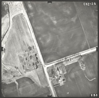
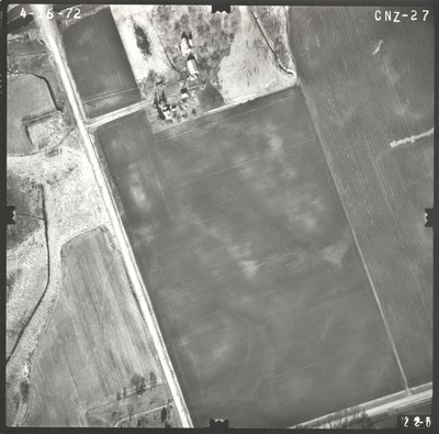
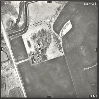
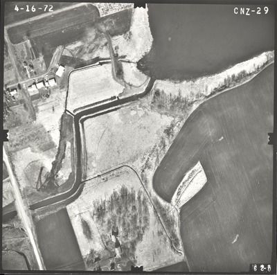
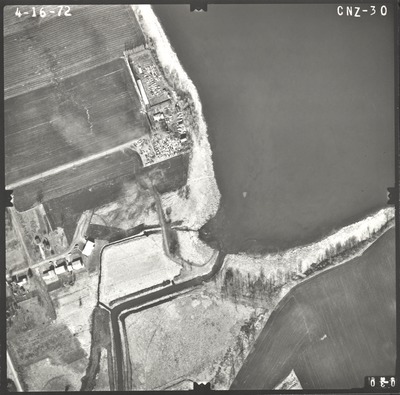
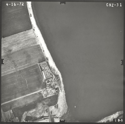
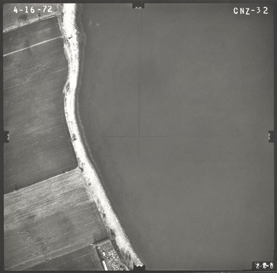
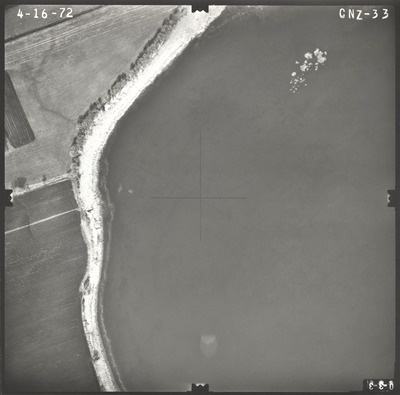
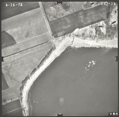
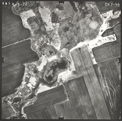
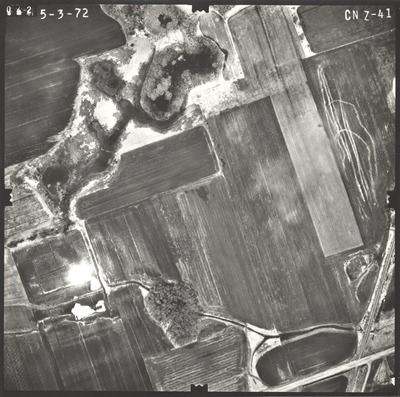
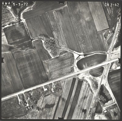
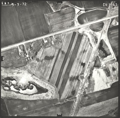
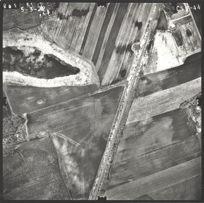
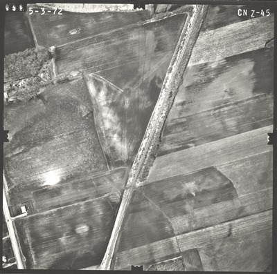
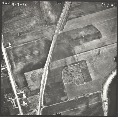
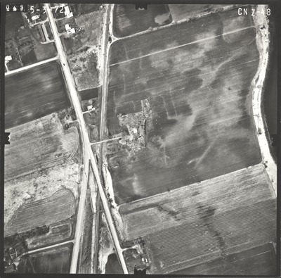
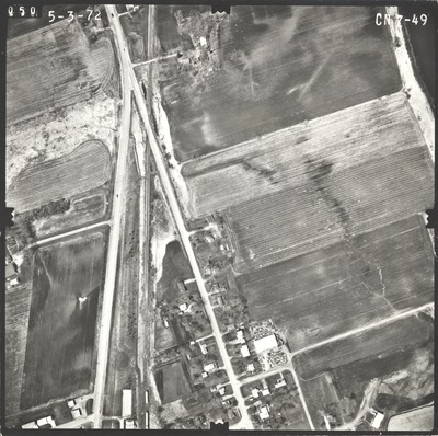
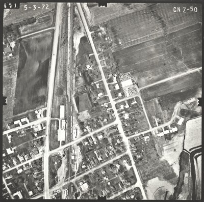
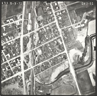
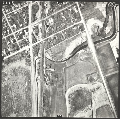
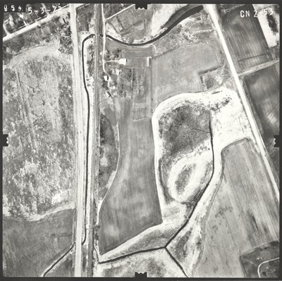
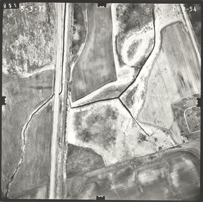
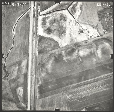
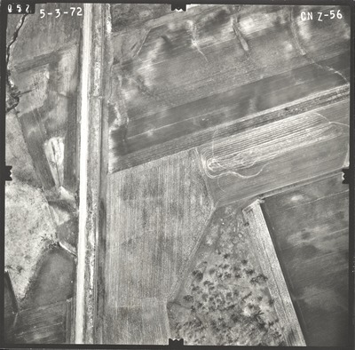
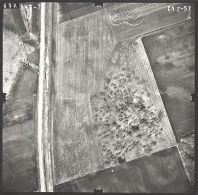
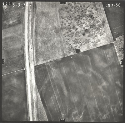
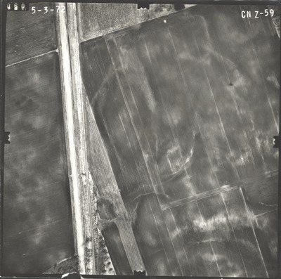
Aerial survey project no. 72S-60 was flown on April 16 and May 3, 1972. These photos are a verbal scale of 1"=250'. The flight lines provide coverage for highway 14 and the Eagle Lake bypass. ASP No. 72S-60 includes index sheet 1.


Aerial survey project no. 72S-60 was flown on April 16 and May 3, 1972. These photos are a verbal scale of 1"=250'. The flight lines provide coverage for highway 14 and the Eagle Lake bypass. ASP No. 72S-60 includes index sheet 1.


