

Preview
Flight Code
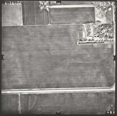
COD
Date Flown
Spring 4-16-1972
Aerial Survey Project No. (A.S.P. No.)
72S-65
County
Cottonwood
Trunk Highway (T.H.)
60
Location
Windom to Butterfield
Center Latitude
43°55'53.69"N
Center Longitude
94°55'19.40"W
Scale
1''=250'
Flight Height
1500
Notes
Note on front includes a hand-drawn circle in the top right corner.
Work Order No.
43
Agreement No.
56854
State Project No.
1703, 8308
Focal Length
152.36 mm
Physical Format
Black and White Physical Aerial Photograph
Dimensions
9 x 9
Item Type
Still Image
Collection Name
Minnesota Department of Transportation District 7 Air Photo Collection, 1957-2006
Contributing Organization
Dr. Mary T. Dooley Map Library, Memorial Library, Minnesota State University, Mankato, P.O. Box 8419, Mankato, MN 56002-8419
Contact Information
Dr. Mary T. Dooley Map Library, Memorial Library, Minnesota State University, Mankato, P.O. Box 8419, Mankato, MN 56002-8419
Creative Commons License

This work is licensed under a Creative Commons Attribution-NonCommercial 4.0 International License
Scanning Center
Dr. Mary T. Dooley Map Library, Memorial Library, Minnesota State University, Mankato, P.O. Box 8419, Mankato, MN 56002-8419
Object File Name
MnDOT_1972_72S-65_COD-72.tif
Date Digital
2021-09-25
Item Digital Format
Image/tiff
Master File Format
Image/tiff
Master File Size
97735560
Master File Bit Depth
24
Master File Resolution
800 dpi
Master File Width
7584
Master File Height
7487
Master File Hardware
Epson Expression 10000XL
Master File Software
VueScan
Master File System
Windows 10
Master File Checksum
faa47f2f15f96cea950bdcfa6b63879a
Keywords
mndot, air photos, aerial photography, 1972, mountain lake

