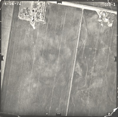
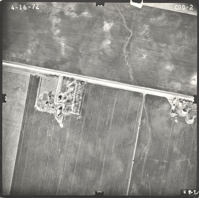
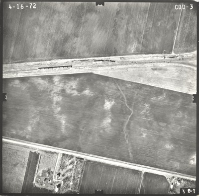
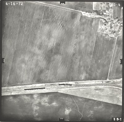
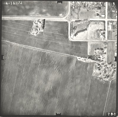
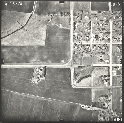
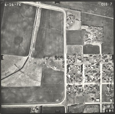
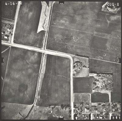
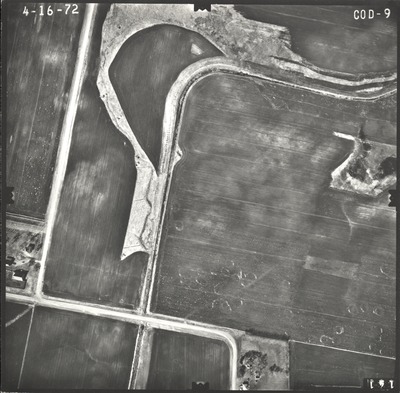
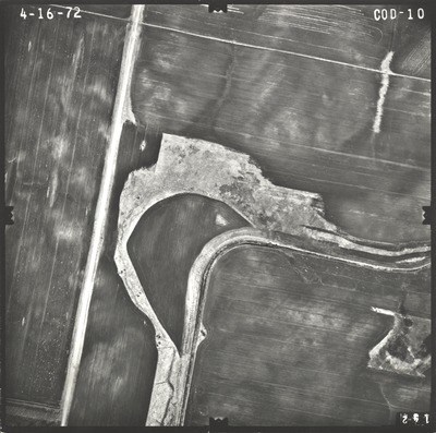
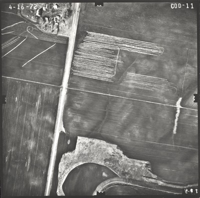
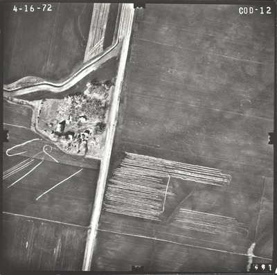
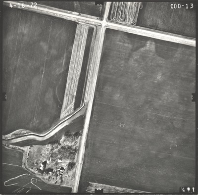
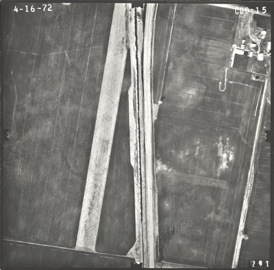
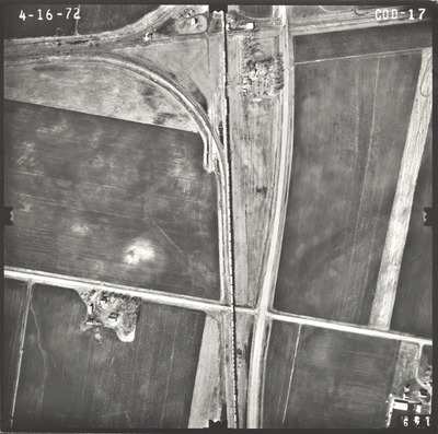
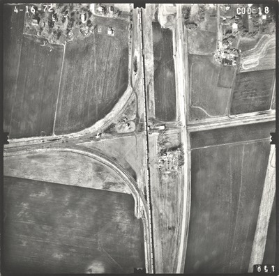
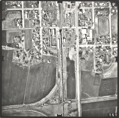
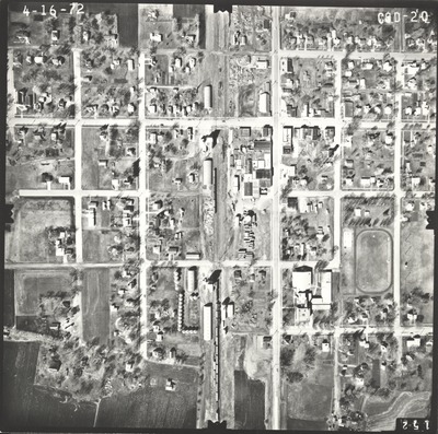
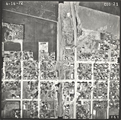
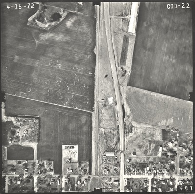
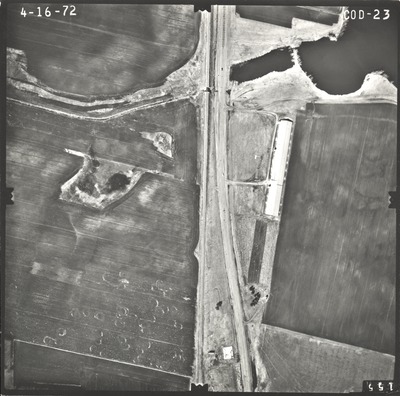
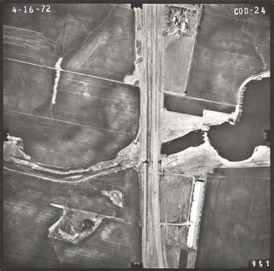
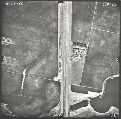
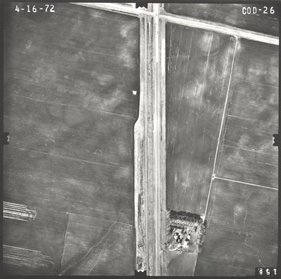
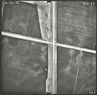
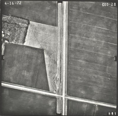
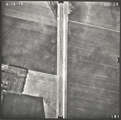
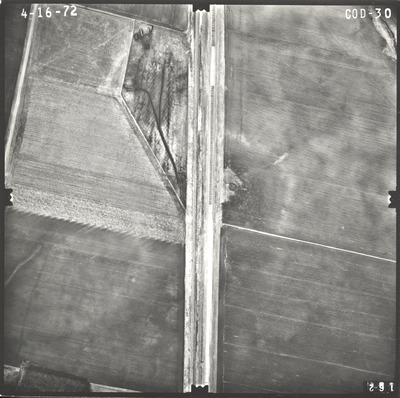
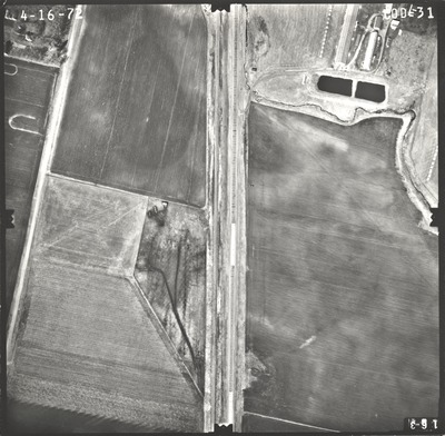
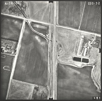
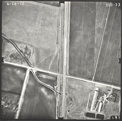
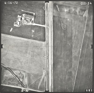
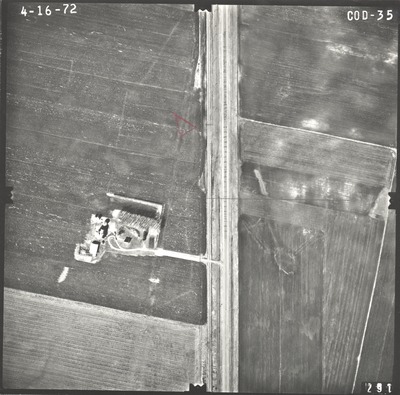
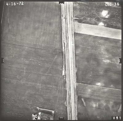
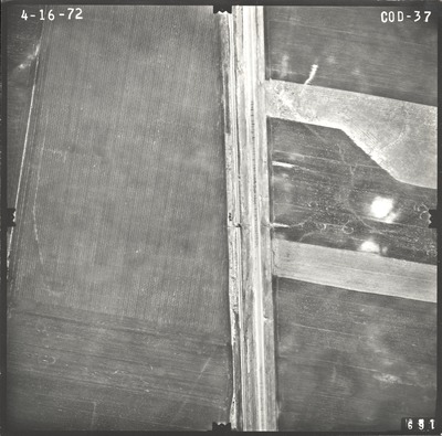
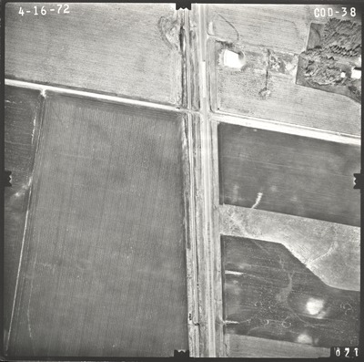
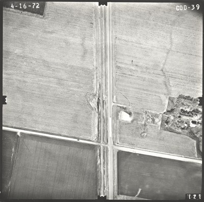
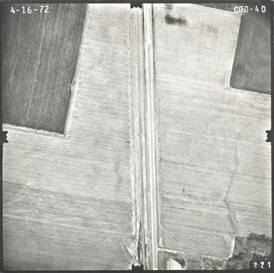
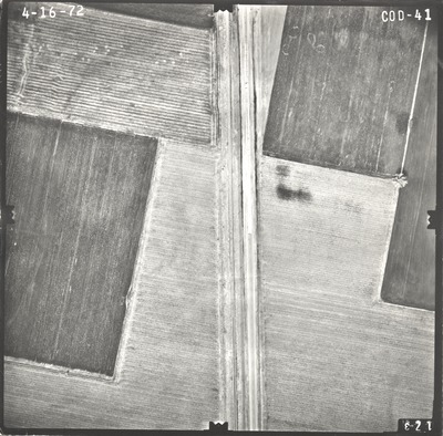
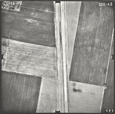
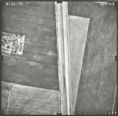
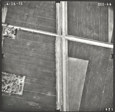
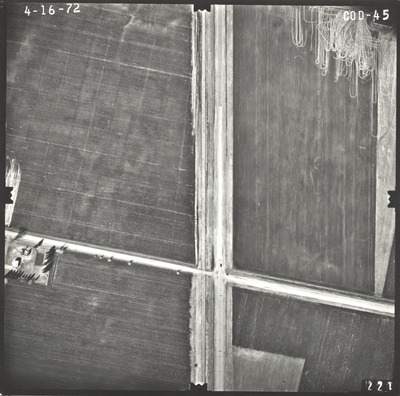
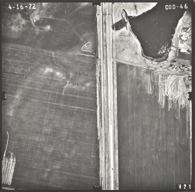
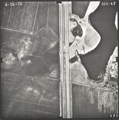
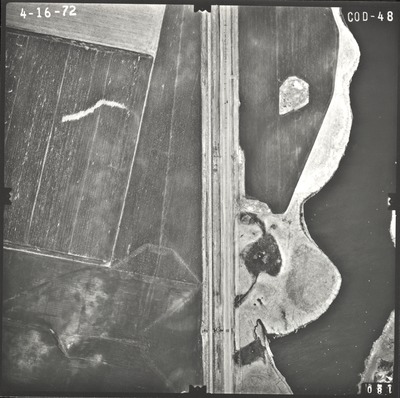
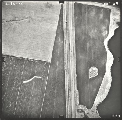
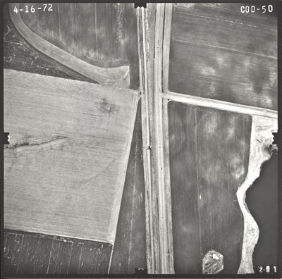
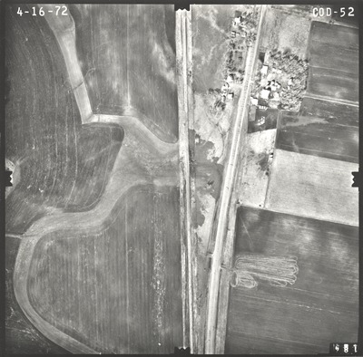
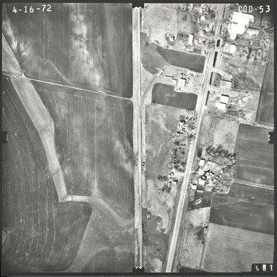
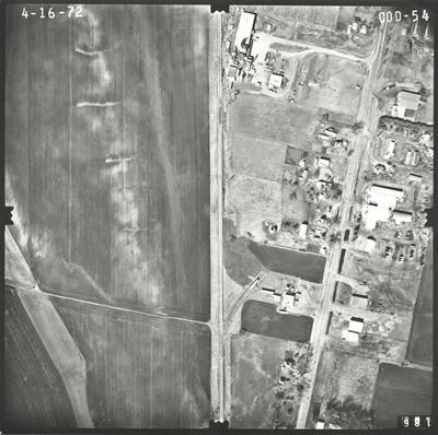
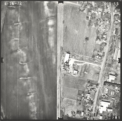
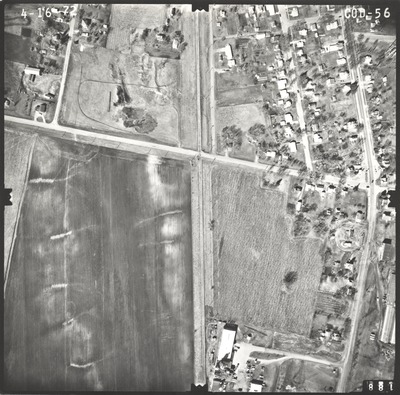
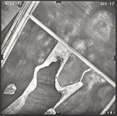
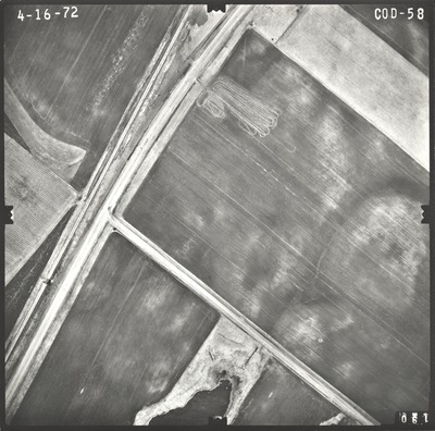
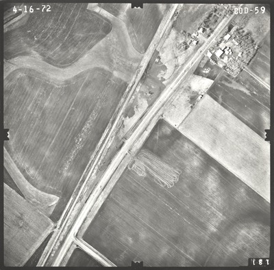
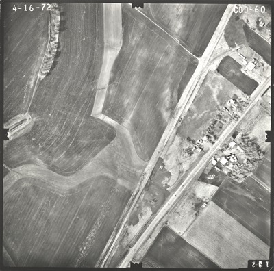
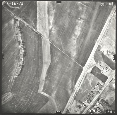
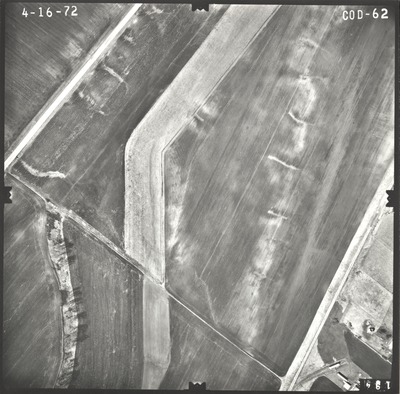
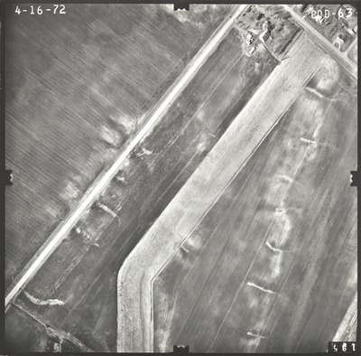
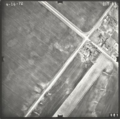
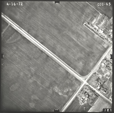
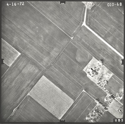
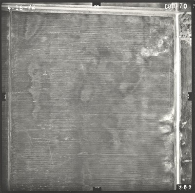
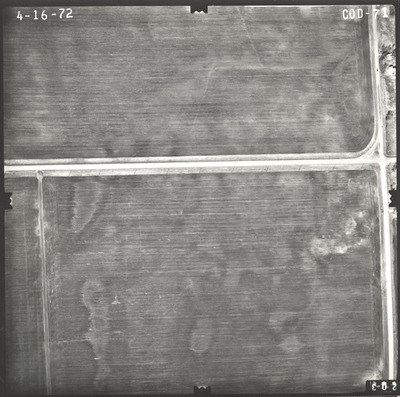
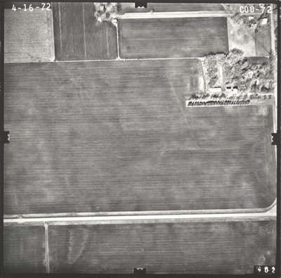
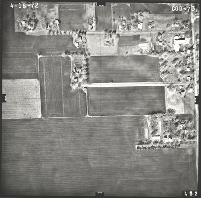
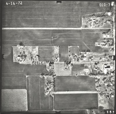
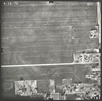
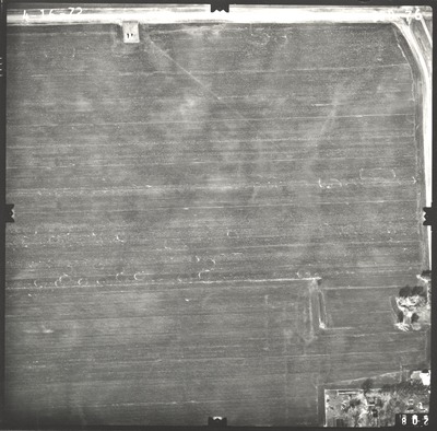
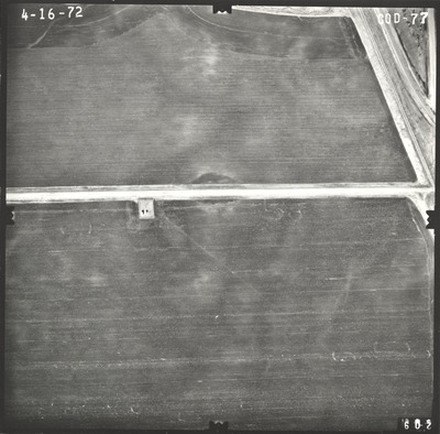
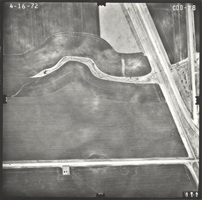
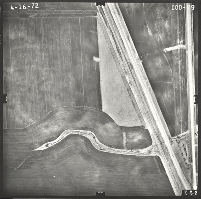
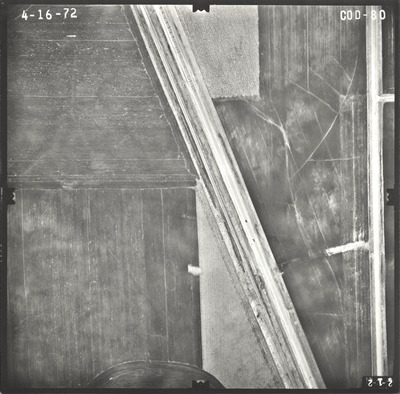
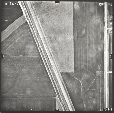
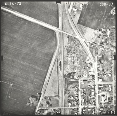
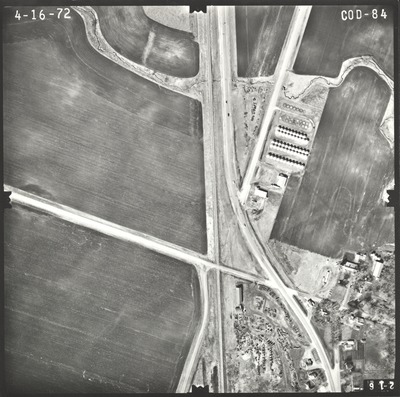
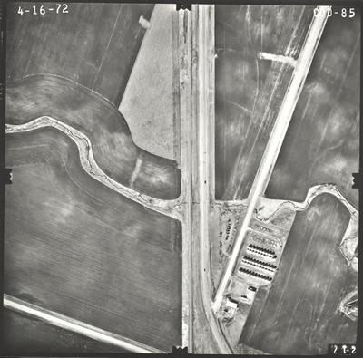
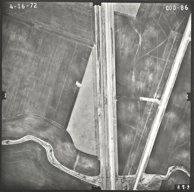
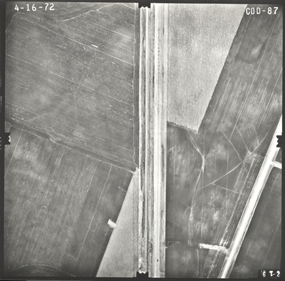
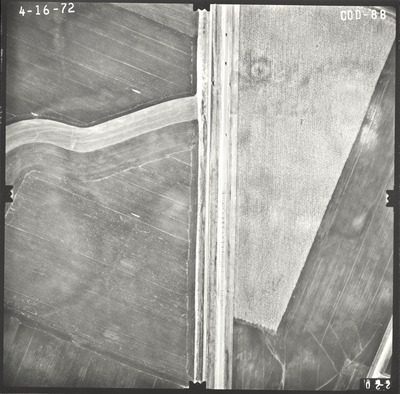
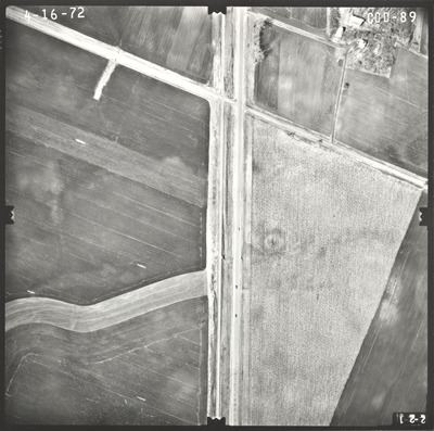
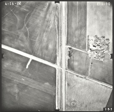
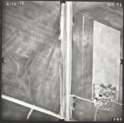
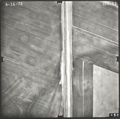
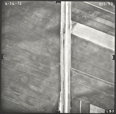
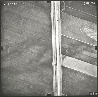
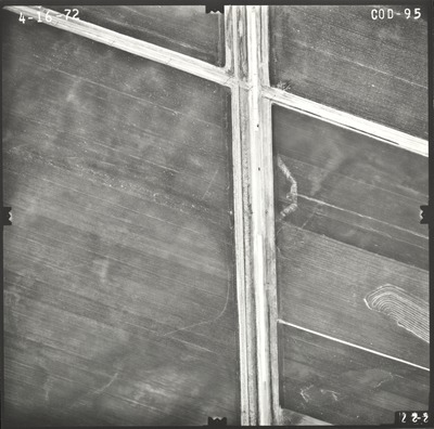
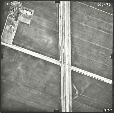
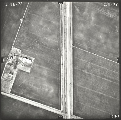
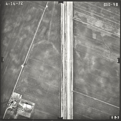
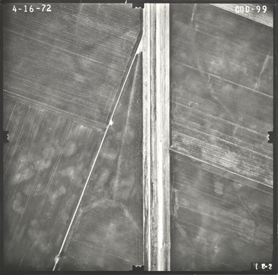
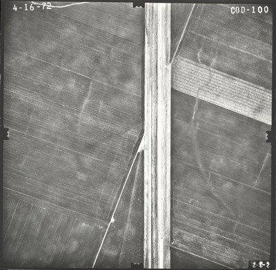
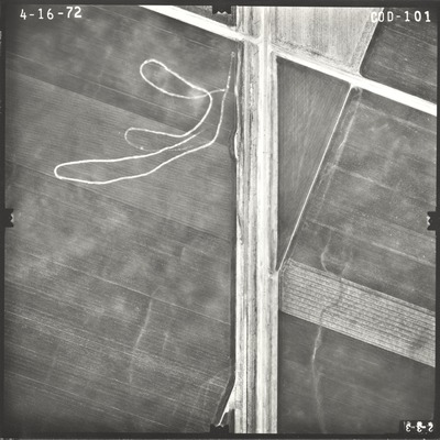
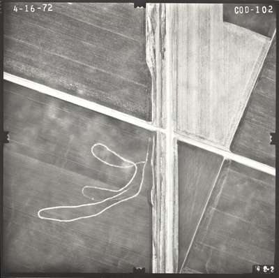
Aerial survey project no. 72S-65 was flown on April 16 and May 17, 1972. These photos are a verbal scale of 1"=250'. The flight lines provide coverage for highway 60 from Windom to Butterfield.


Aerial survey project no. 72S-65 was flown on April 16 and May 17, 1972. These photos are a verbal scale of 1"=250'. The flight lines provide coverage for highway 60 from Windom to Butterfield.


