

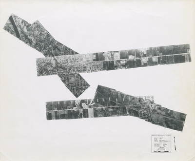
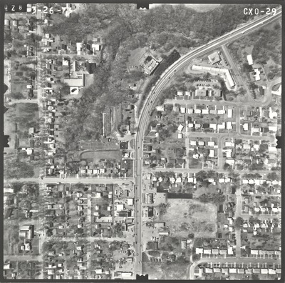
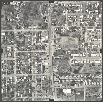
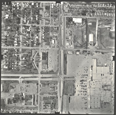
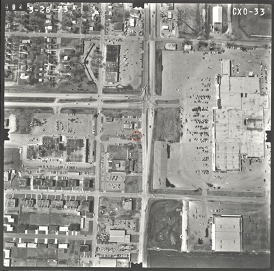
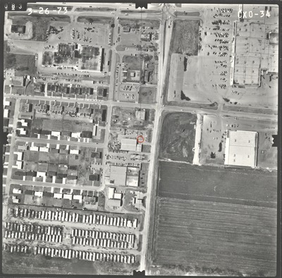
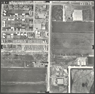
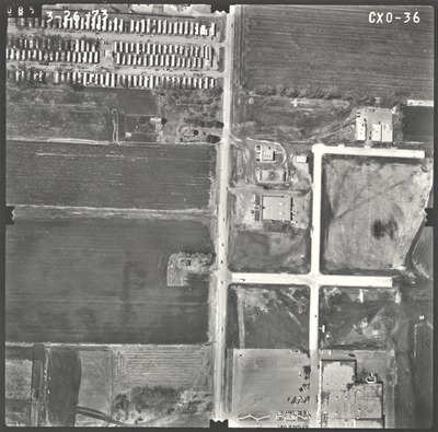
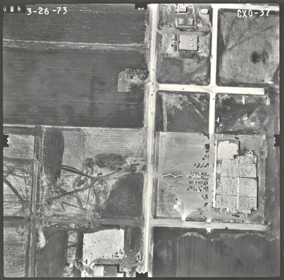
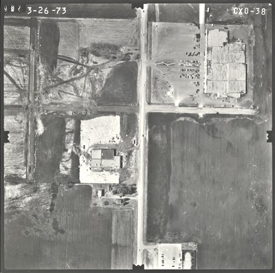
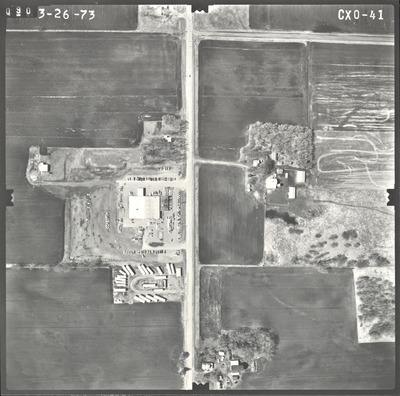
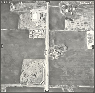
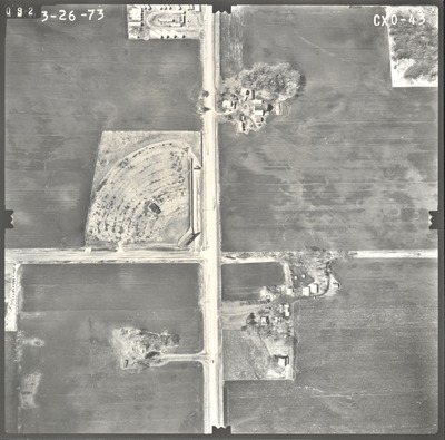
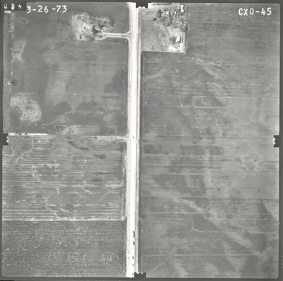
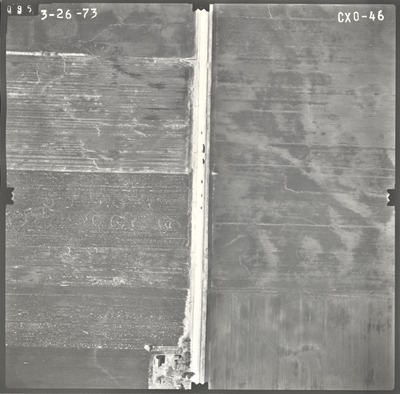
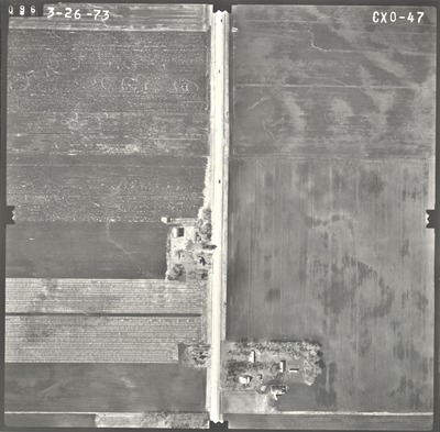
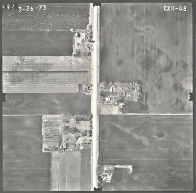
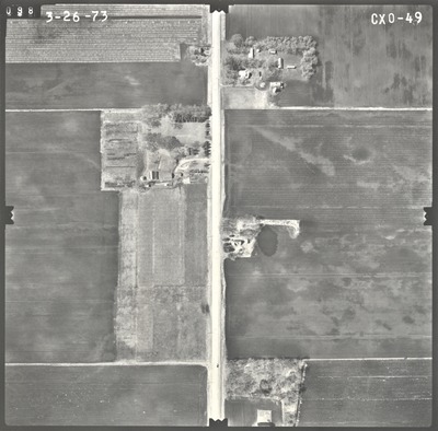
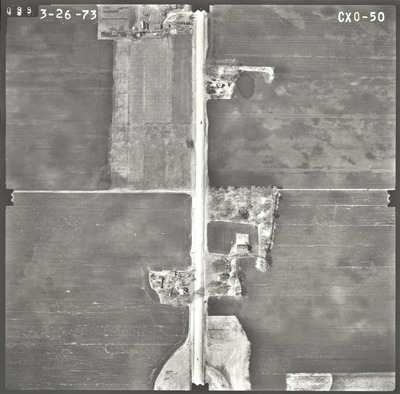
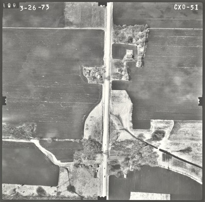
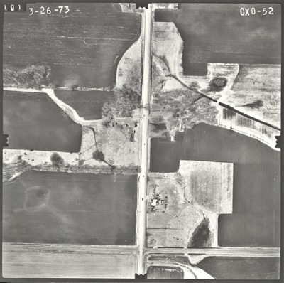
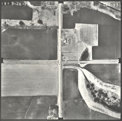
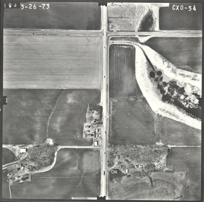
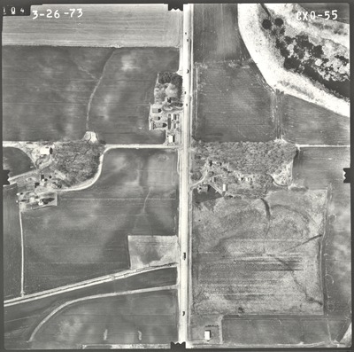
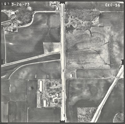
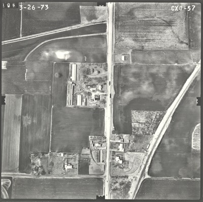
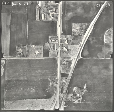
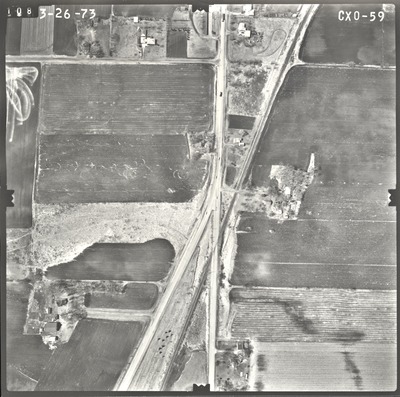
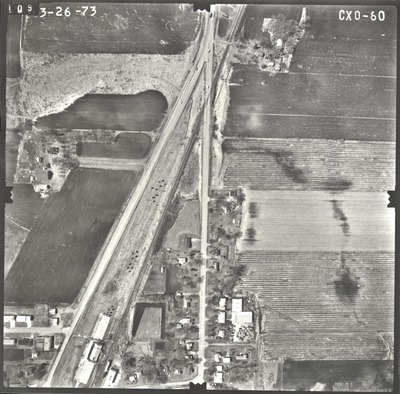
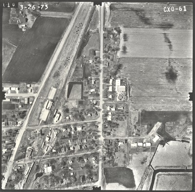
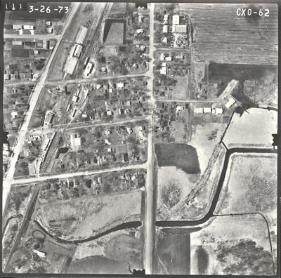
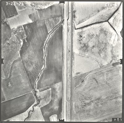
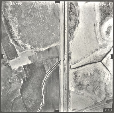
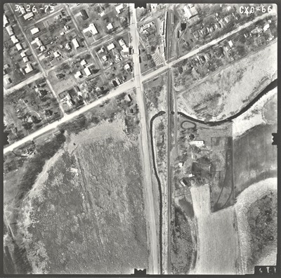
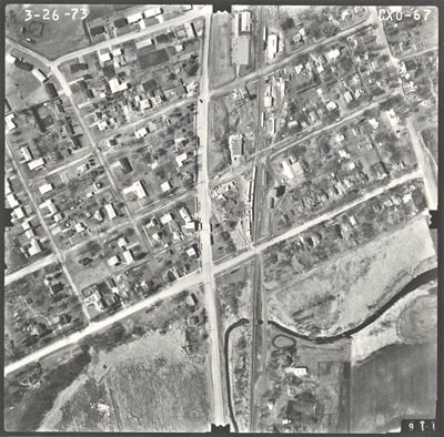
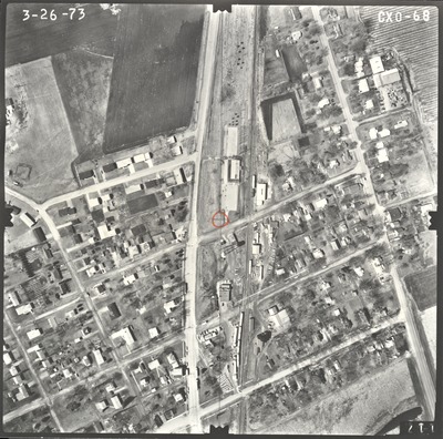
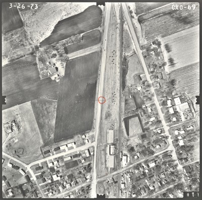
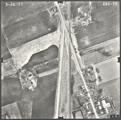
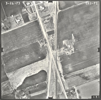
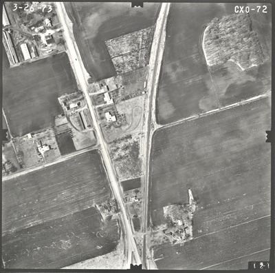
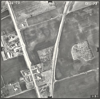
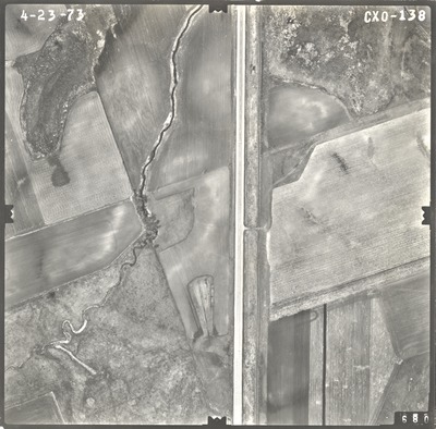
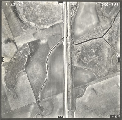
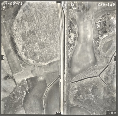
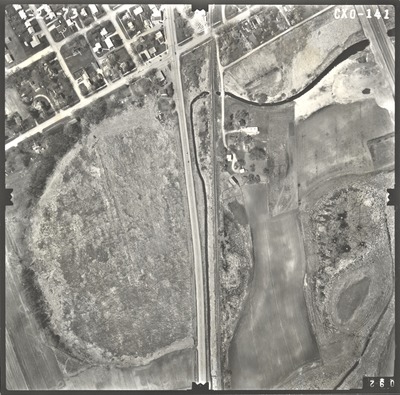
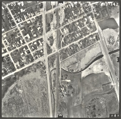
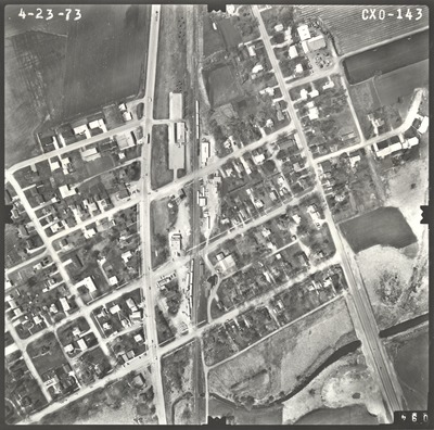
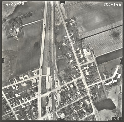
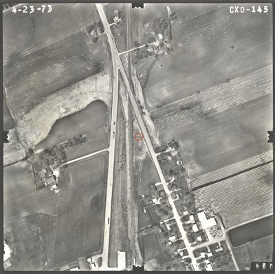
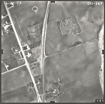
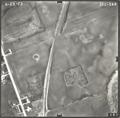
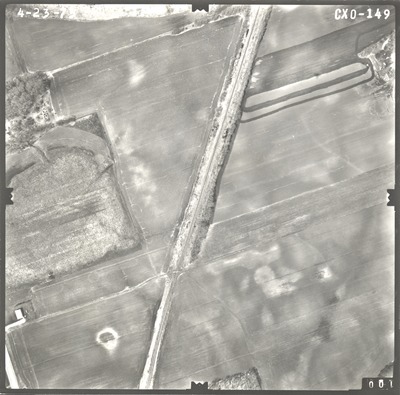
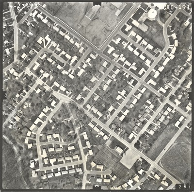
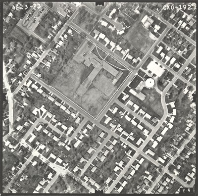
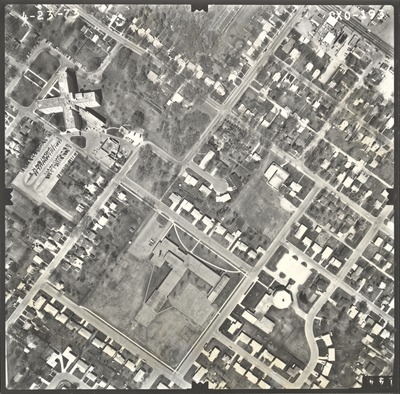
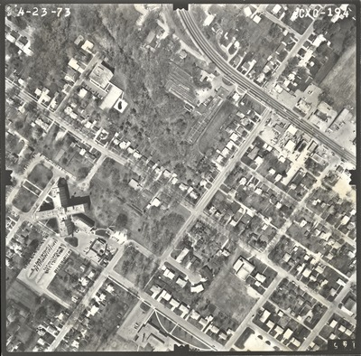
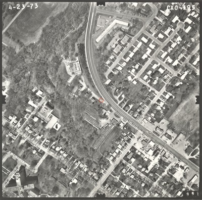
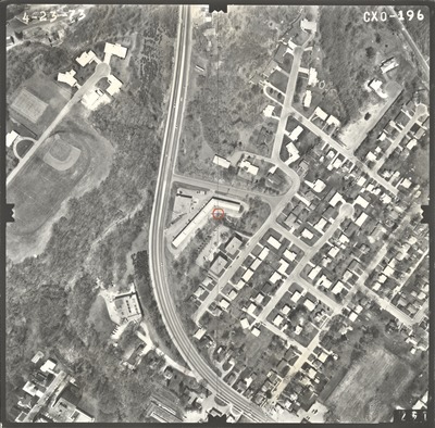
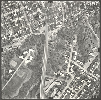
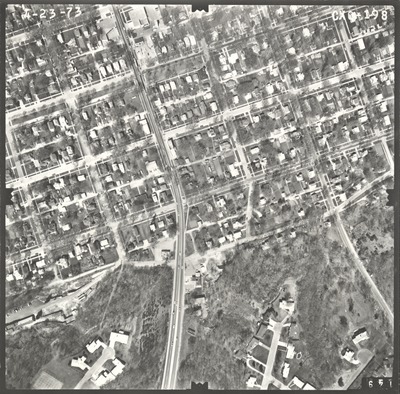
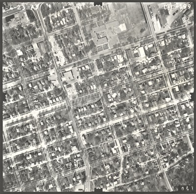
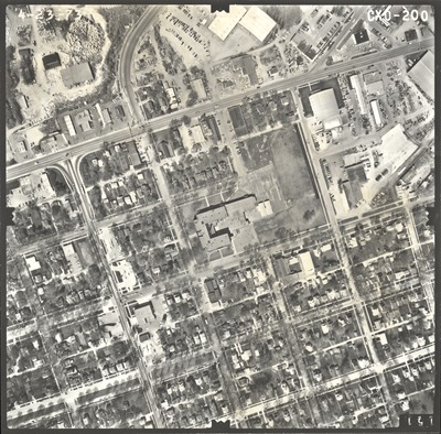
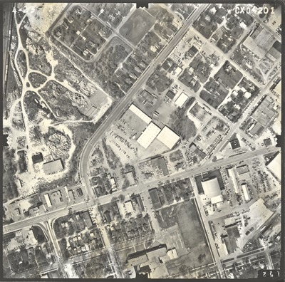
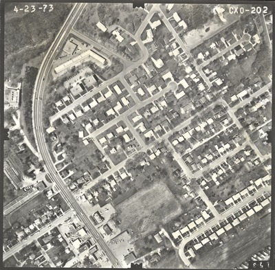
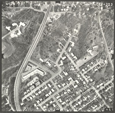
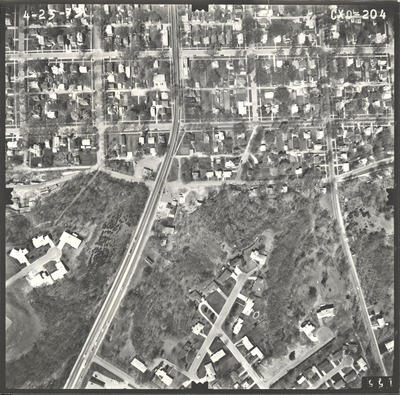
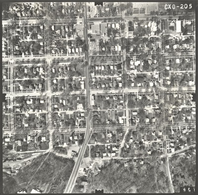
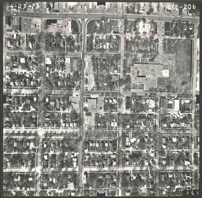
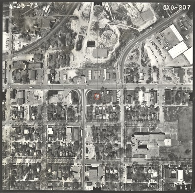
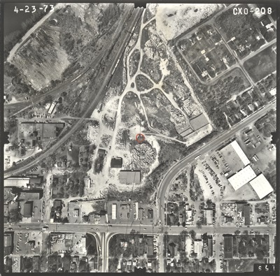
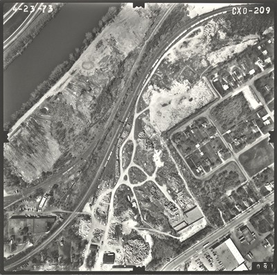
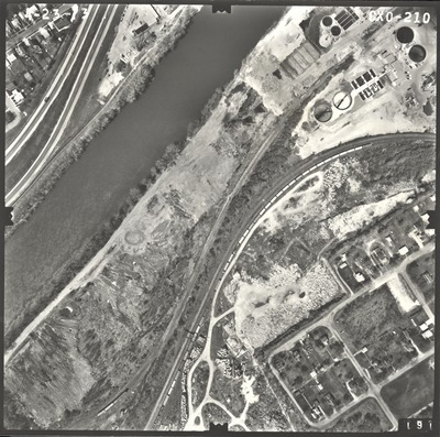
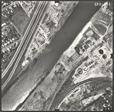
Aerial survey project no. 73S-14 was flown on March 26 and April 23, 1973. These photos are a verbal scale of 1"=250'. The flight lines provide coverage for highway 14 from Front Street in Mankato to Eagle Lake. ASP No. 73S-14 includes index sheet 1.
Printing is not supported at the primary Gallery Thumbnail page. Please first navigate to a specific Image before printing.


