

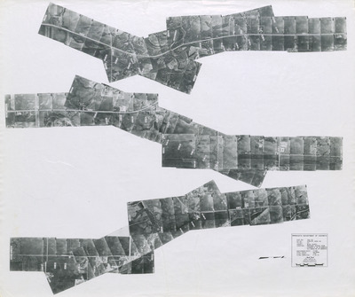
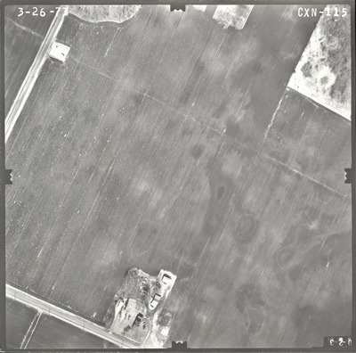
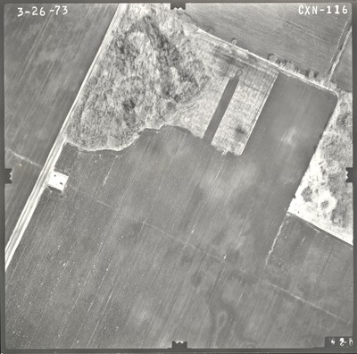
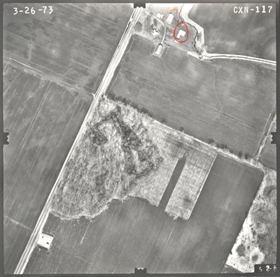
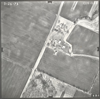
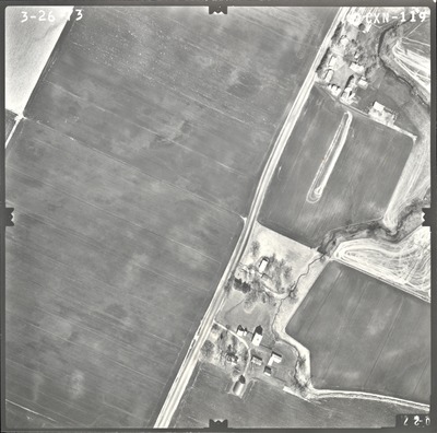
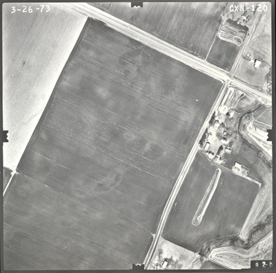
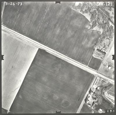
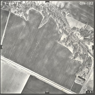
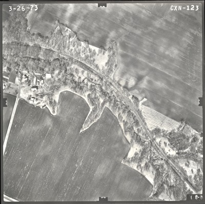
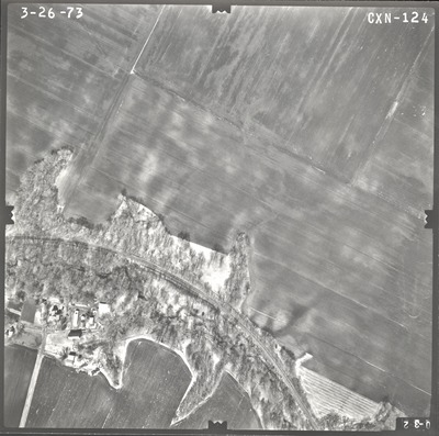
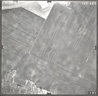
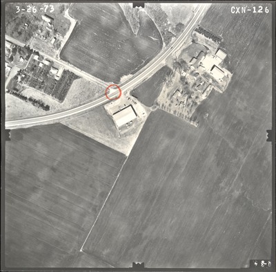
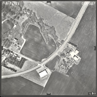
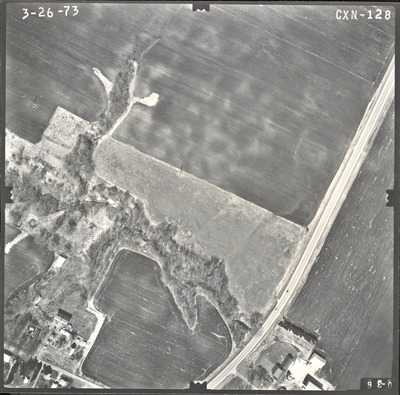
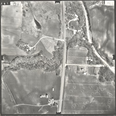
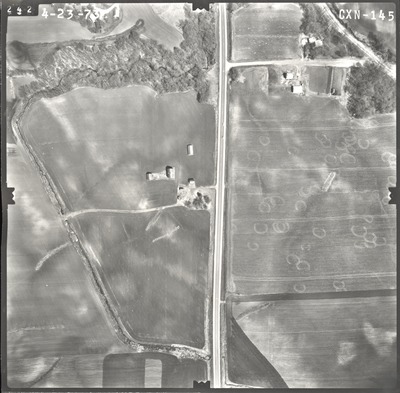
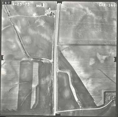
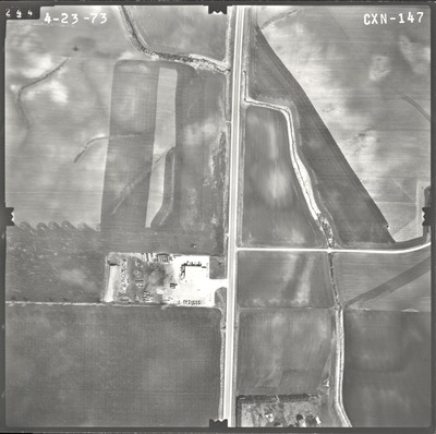
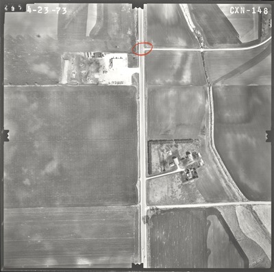
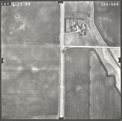
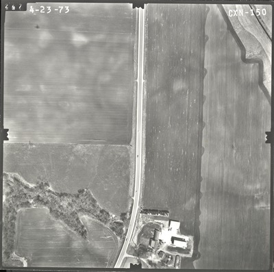
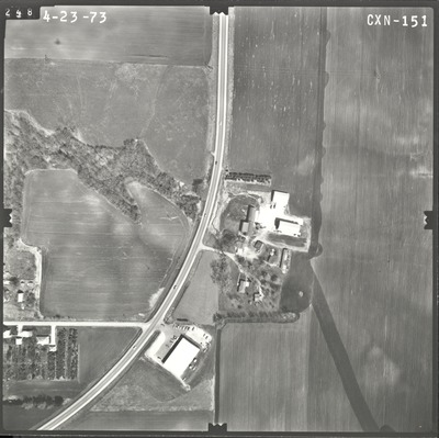
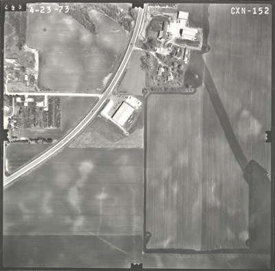
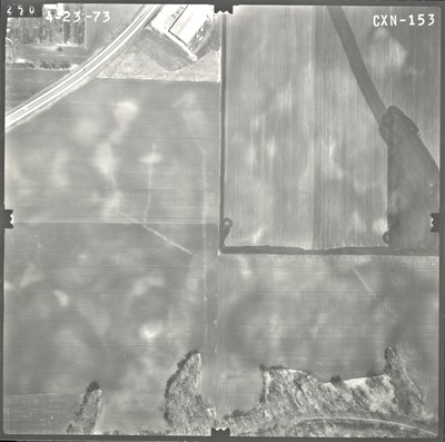
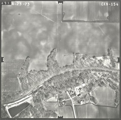
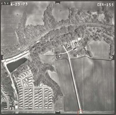
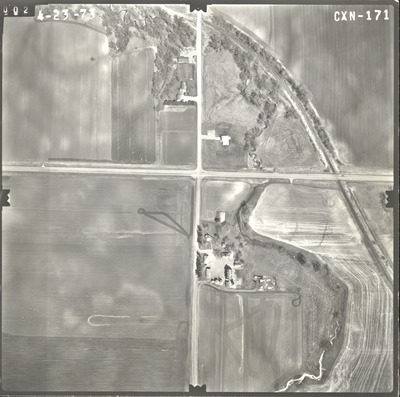
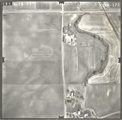
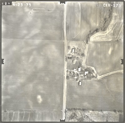
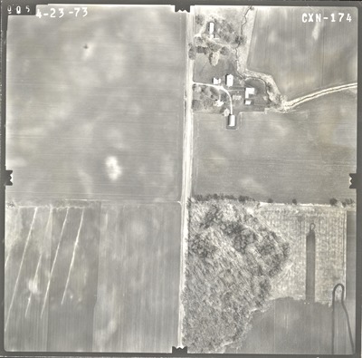
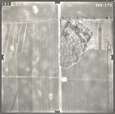
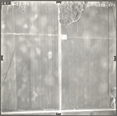
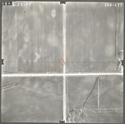
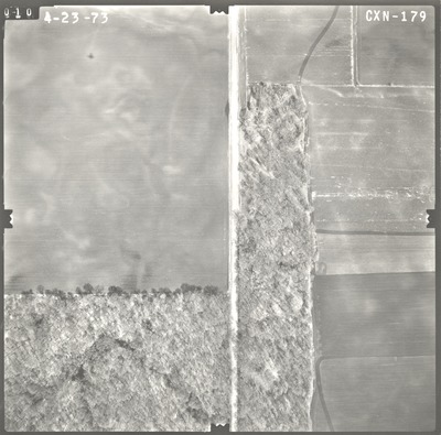
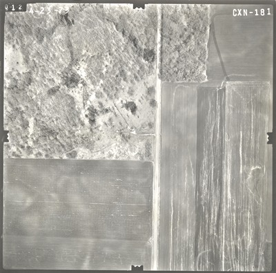
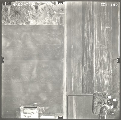
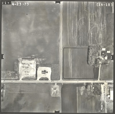
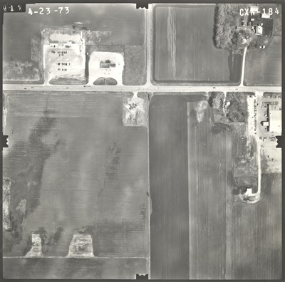
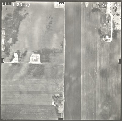
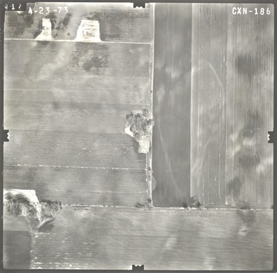
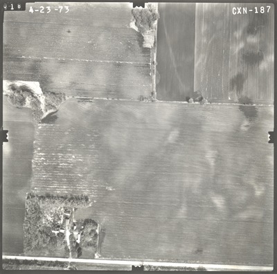
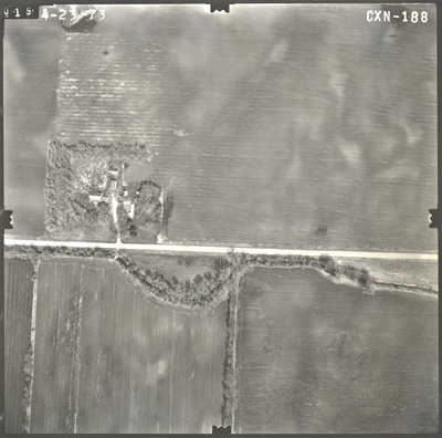
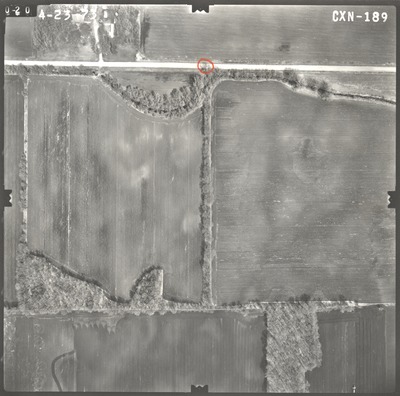
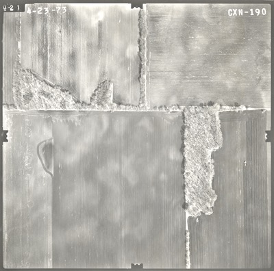
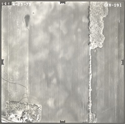
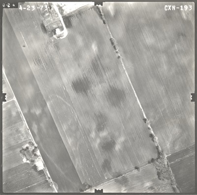
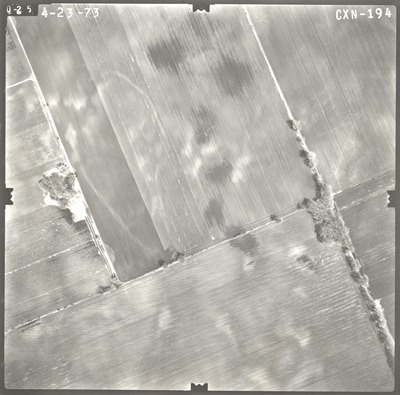
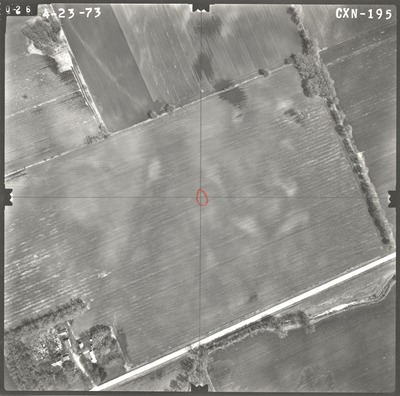
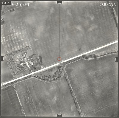
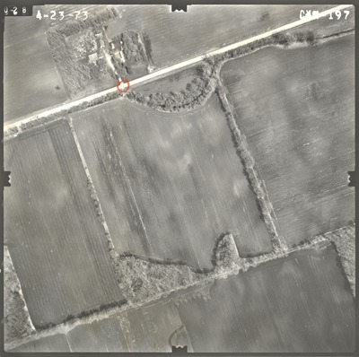
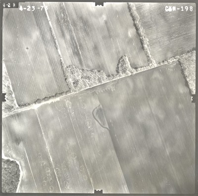
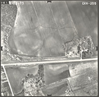
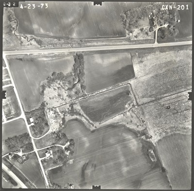
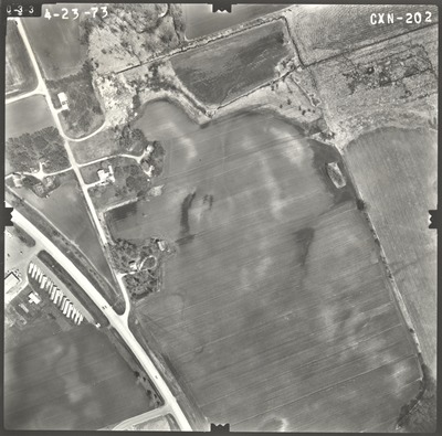
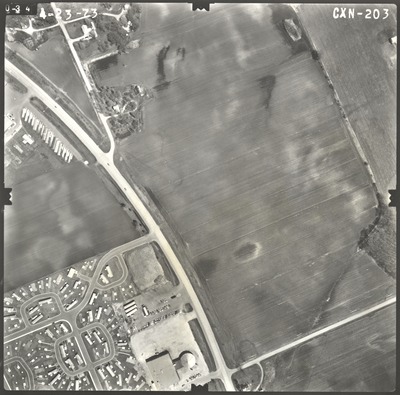
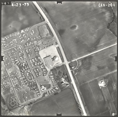
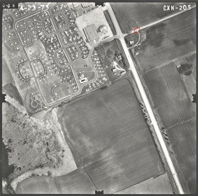
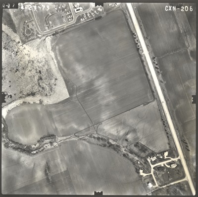
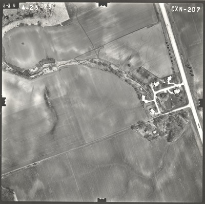
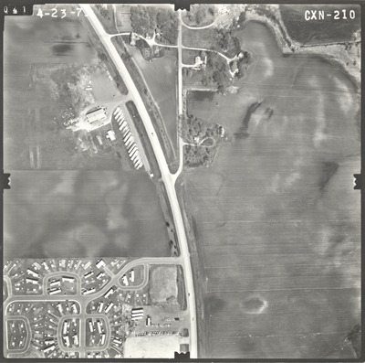
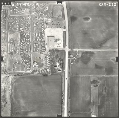
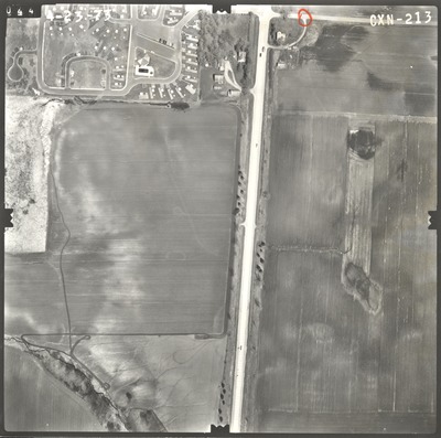
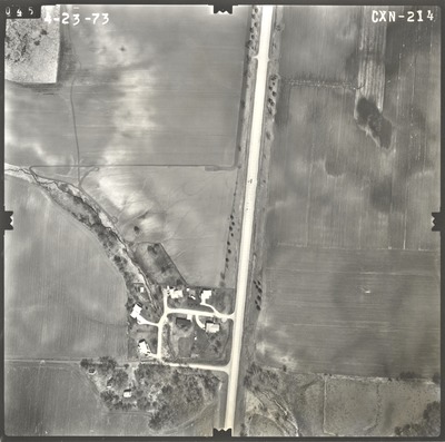
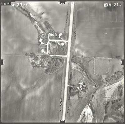
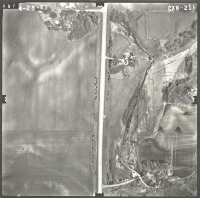
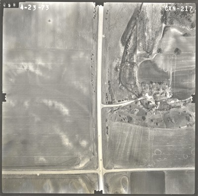
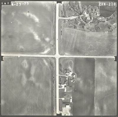
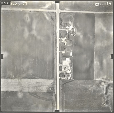
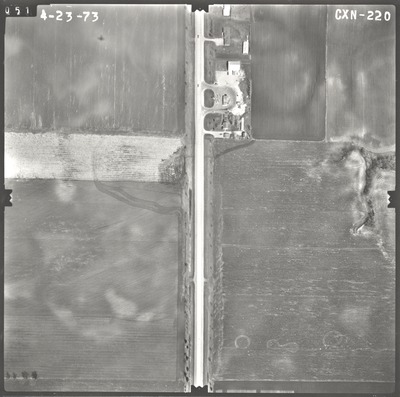
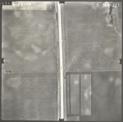
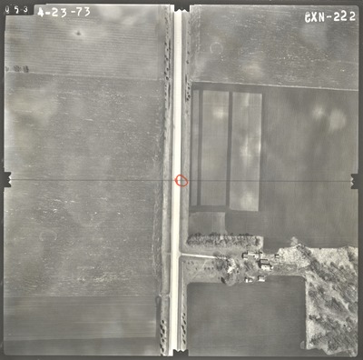
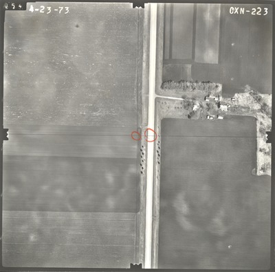
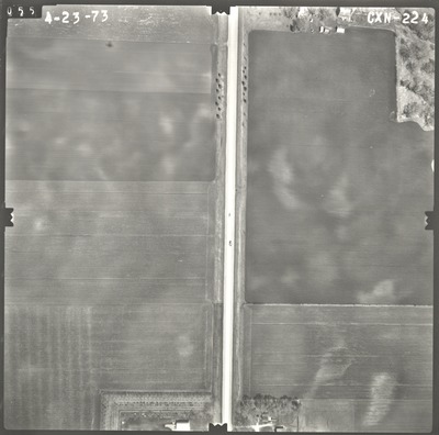
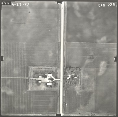
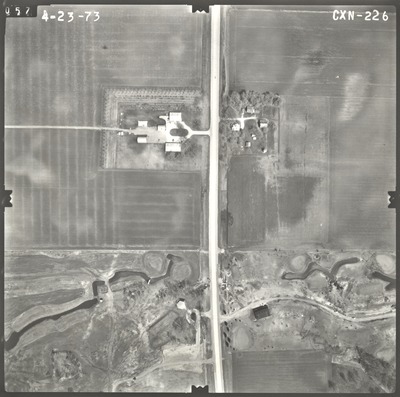
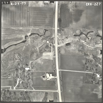
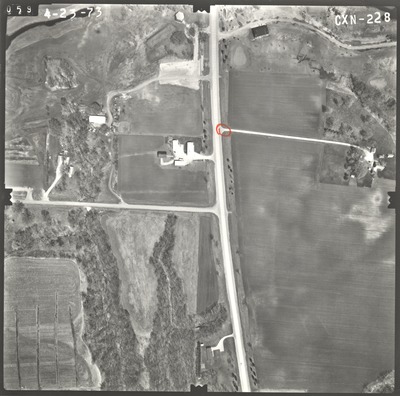
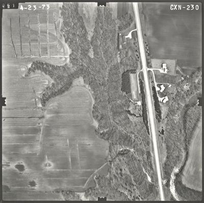
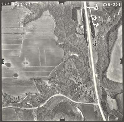
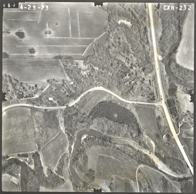
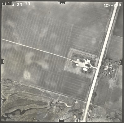
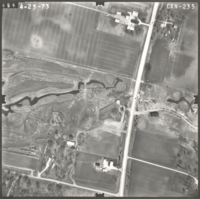
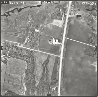
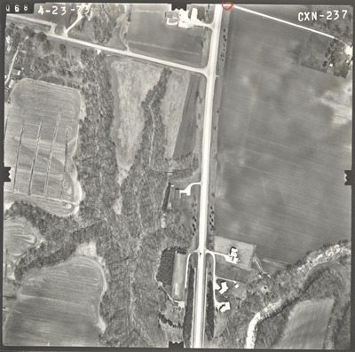
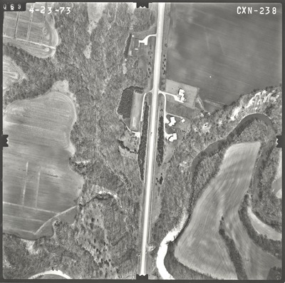
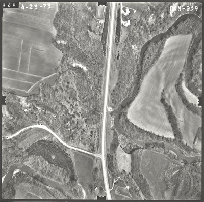
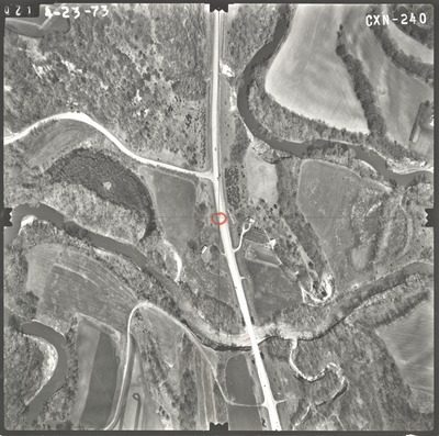
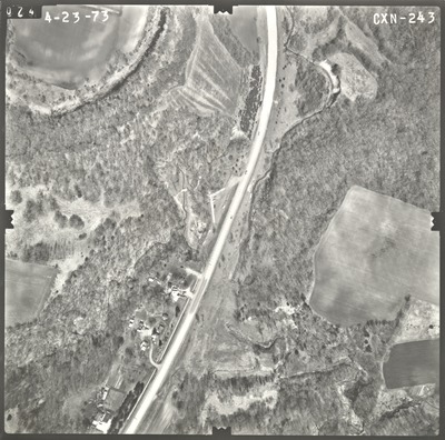
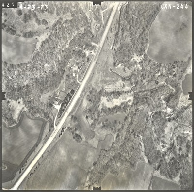
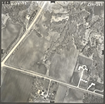
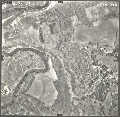
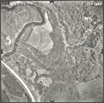
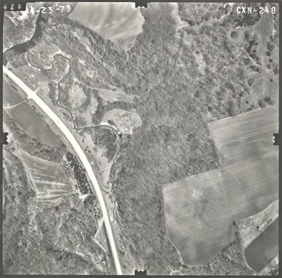
Aerial survey project no. 73S-29 was flown on March 26 and April 23, 1973. These photos are a verbal scale of 1"=250'. The flight lines provide coverage for highway 22 and the proposed bypass from the Le Sueur River south of Mankato to 3 miles north of Mankato. ASP No. 73S-29 includes index sheet 1.


