• Home
  • Search
  • Browse Collections
  • My Account
  • About
  • DC Network Digital Commons Network™
Skip to main content
Cornerstone: A Collection of Scholarly and Creative Works for Minnesota State University, Mankato
  • Home
  • About
  • FAQ
  • My Account

Home > MAPS > MAPS-MNDOT7-AIR-PHOTOS > MNDOT7-1974-74F-24

1974 Aerial Survey Project No. 74F-24 (DOP)

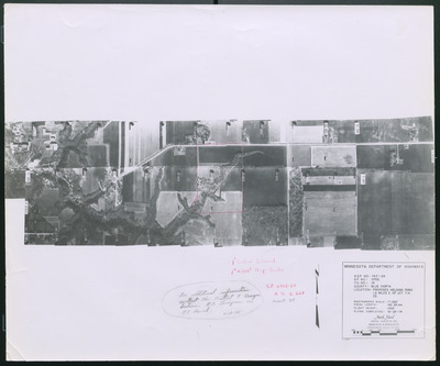
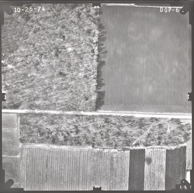
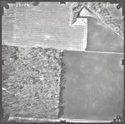
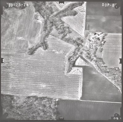
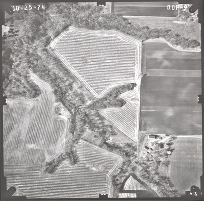
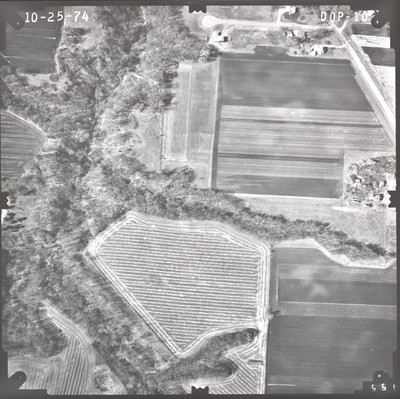
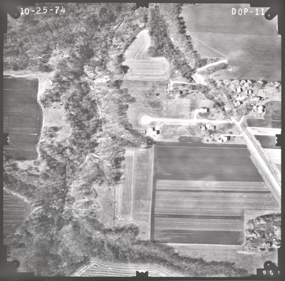
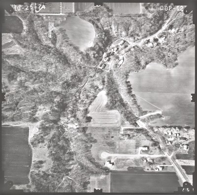
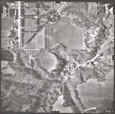
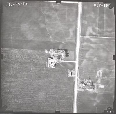
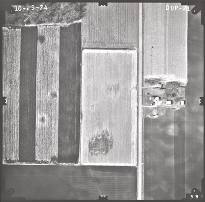
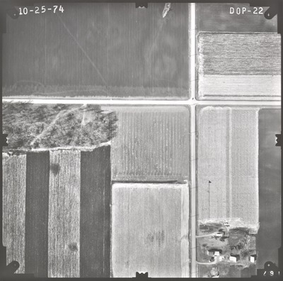
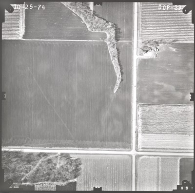
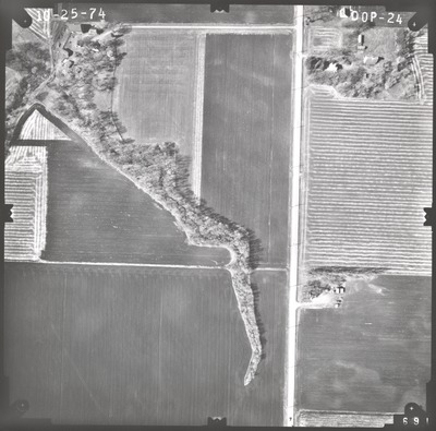
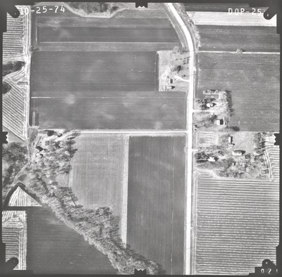
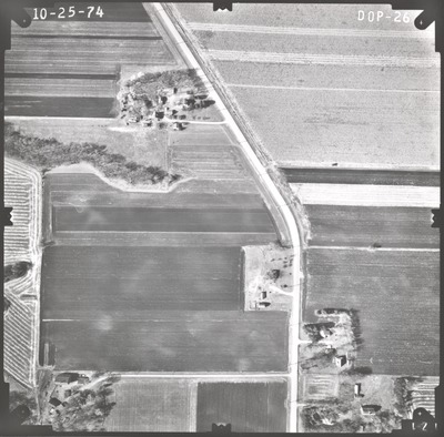
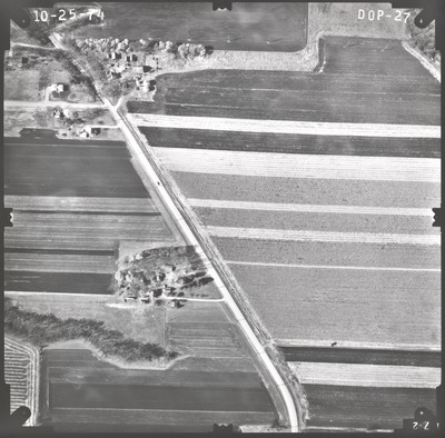
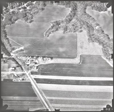
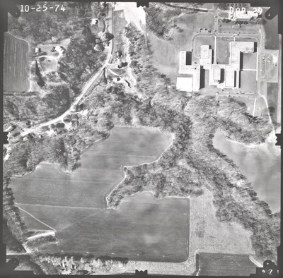
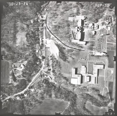
Aerial survey project no. 74F-24 was flown on October 25, 1974. These photos are a verbal scale of 1"=250'. The flight line follows an east-west direction and provides coverage for highway 14 and the proposed holding pond 1.5 miles east of the junction with highway 22. ASP No. 74F-24 includes index sheet 1.

Printing is not supported at the primary Gallery Thumbnail page. Please first navigate to a specific Image before printing.

Follow

Switch View to List View Slideshow
 
  • 74F-24 Index Sheet 1 by Mark Hurd Aerial Surveys, Inc. Minneapolis, Minnesota

    74F-24 Index Sheet 1

  • DOP-02 by Mark Hurd Aerial Surveys, Inc. Minneapolis, Minnesota

    DOP-02

  • DOP-03 by Mark Hurd Aerial Surveys, Inc. Minneapolis, Minnesota

    DOP-03

  • DOP-04 by Mark Hurd Aerial Surveys, Inc. Minneapolis, Minnesota

    DOP-04

  • DOP-05 by Mark Hurd Aerial Surveys, Inc. Minneapolis, Minnesota

    DOP-05

  • DOP-06 by Mark Hurd Aerial Surveys, Inc. Minneapolis, Minnesota

    DOP-06

  • DOP-07 by Mark Hurd Aerial Surveys, Inc. Minneapolis, Minnesota

    DOP-07

  • DOP-08 by Mark Hurd Aerial Surveys, Inc. Minneapolis, Minnesota

    DOP-08

  • DOP-09 by Mark Hurd Aerial Surveys, Inc. Minneapolis, Minnesota

    DOP-09

  • DOP-10 by Mark Hurd Aerial Surveys, Inc. Minneapolis, Minnesota

    DOP-10

  • DOP-11 by Mark Hurd Aerial Surveys, Inc. Minneapolis, Minnesota

    DOP-11

  • DOP-12 by Mark Hurd Aerial Surveys, Inc. Minneapolis, Minnesota

    DOP-12

  • DOP-13 by Mark Hurd Aerial Surveys, Inc. Minneapolis, Minnesota

    DOP-13

  • DOP-19 by Mark Hurd Aerial Surveys, Inc. Minneapolis, Minnesota

    DOP-19

  • DOP-20 by Mark Hurd Aerial Surveys, Inc. Minneapolis, Minnesota

    DOP-20

  • DOP-21 by Mark Hurd Aerial Surveys, Inc. Minneapolis, Minnesota

    DOP-21

  • DOP-22 by Mark Hurd Aerial Surveys, Inc. Minneapolis, Minnesota

    DOP-22

  • DOP-23 by Mark Hurd Aerial Surveys, Inc. Minneapolis, Minnesota

    DOP-23

  • DOP-24 by Mark Hurd Aerial Surveys, Inc. Minneapolis, Minnesota

    DOP-24

  • DOP-25 by Mark Hurd Aerial Surveys, Inc. Minneapolis, Minnesota

    DOP-25

 
  • 1
  • 2


Search

Advanced Search

  • Notify me via email or RSS

Author Corner

  • All Authors
  • Author FAQ
  • Submit Research

University Resources

  • Digital Exhibits
  • ARCH: University Archives Digital Collections
  • Library Services
  • Minnesota State University, Mankato
  • Contact Us
Minnesota State University Mankato Minnesota State
 
Elsevier - Digital Commons

Home | About | FAQ | My Account | Accessibility Statement

Privacy Copyright