

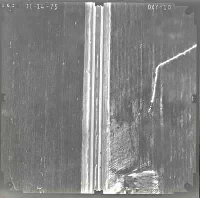
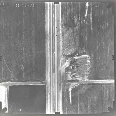
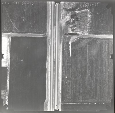
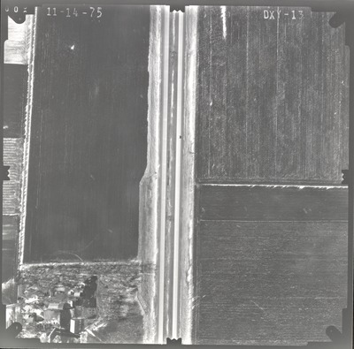
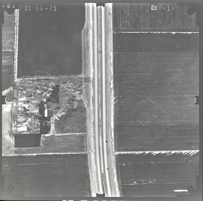
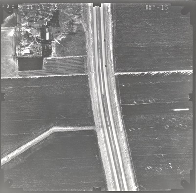
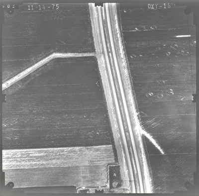
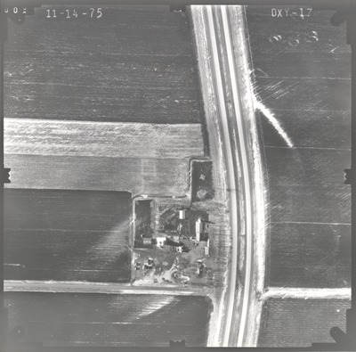
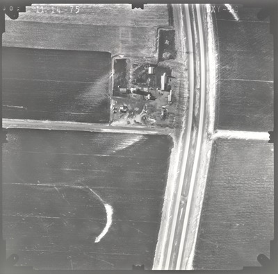
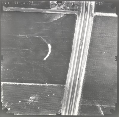
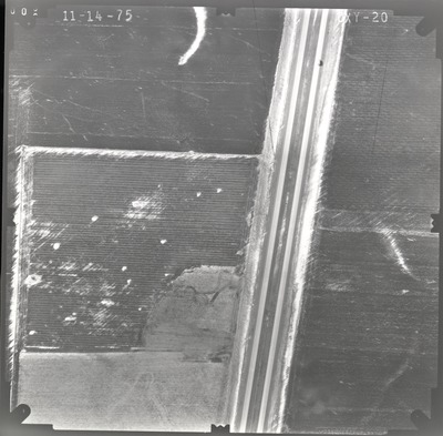
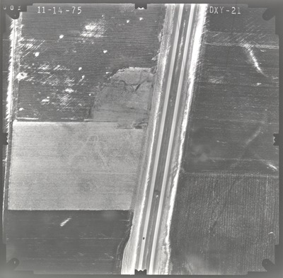
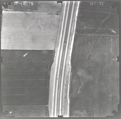
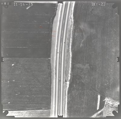
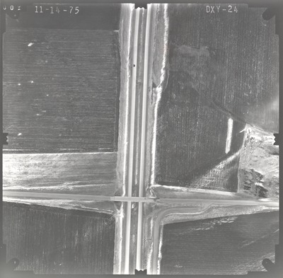
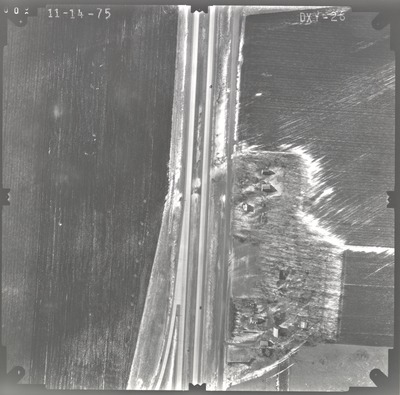
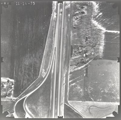
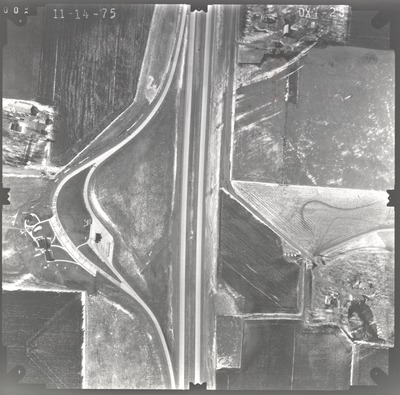
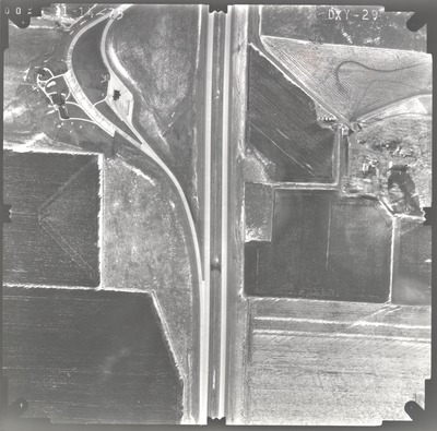
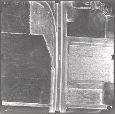
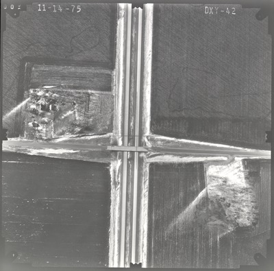
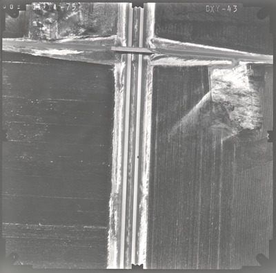
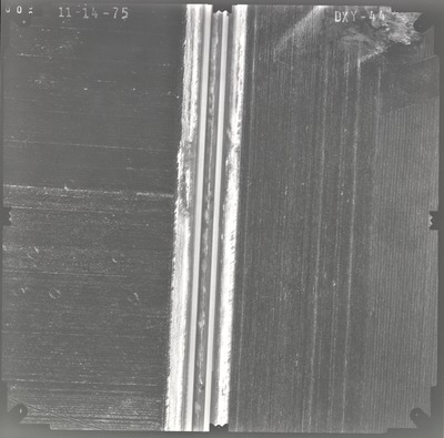
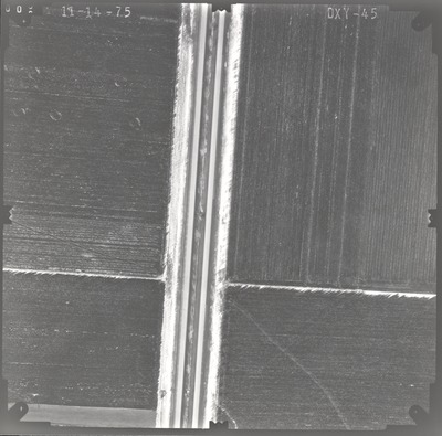
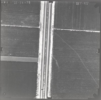
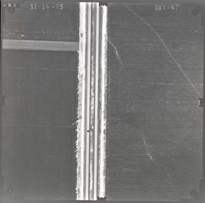
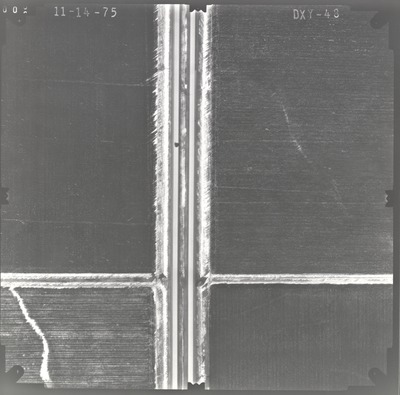
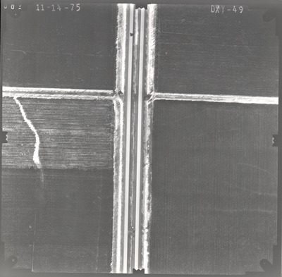
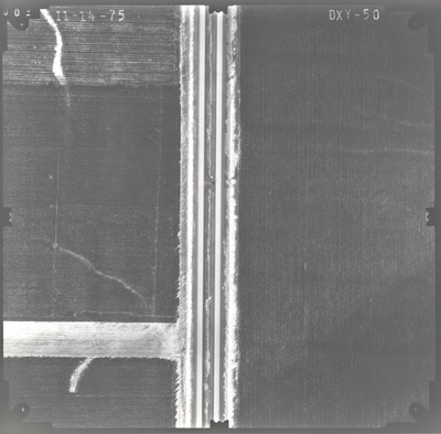
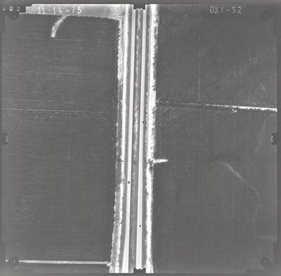
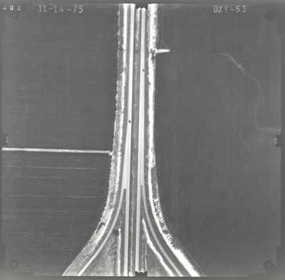
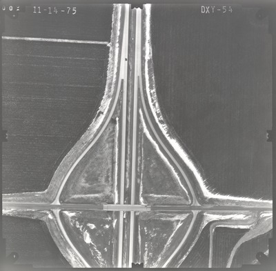
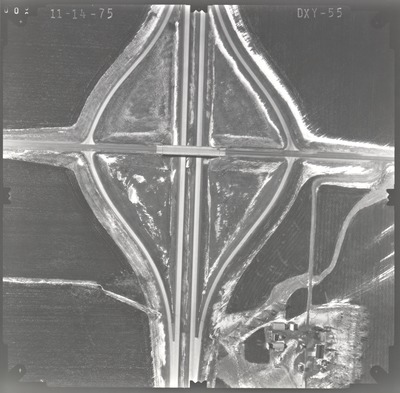
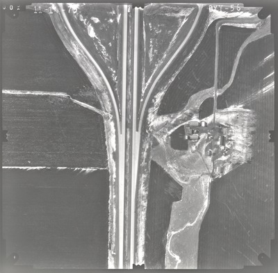
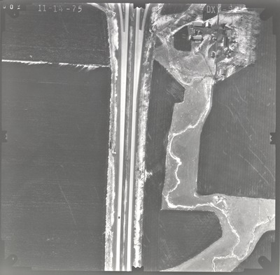
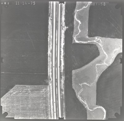
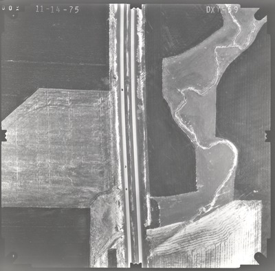
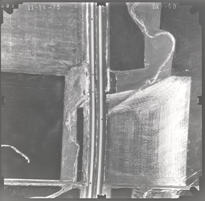
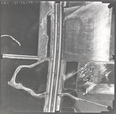
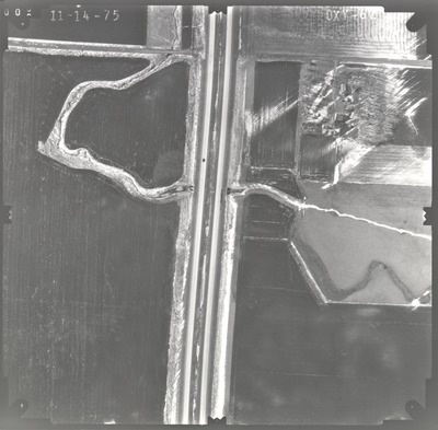
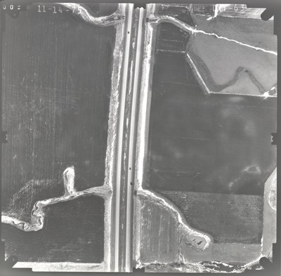
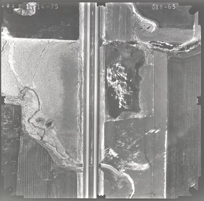
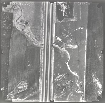
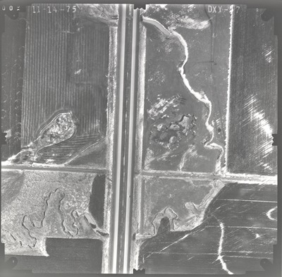
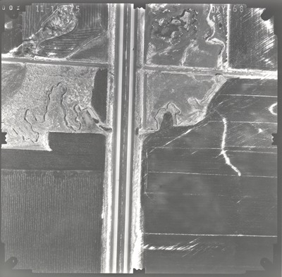
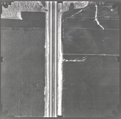
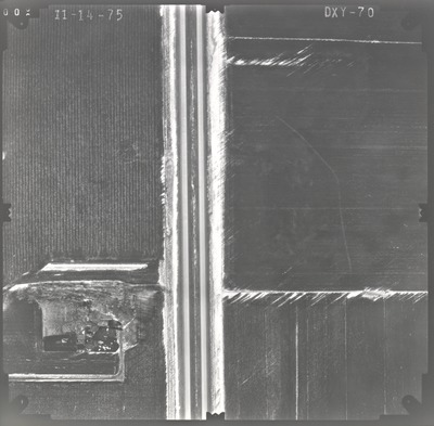
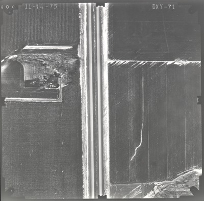
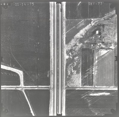
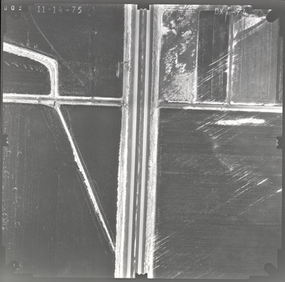
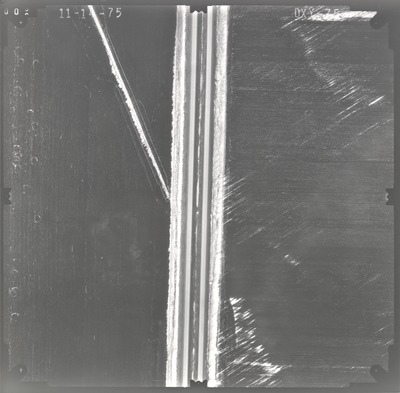
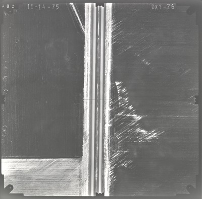
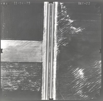
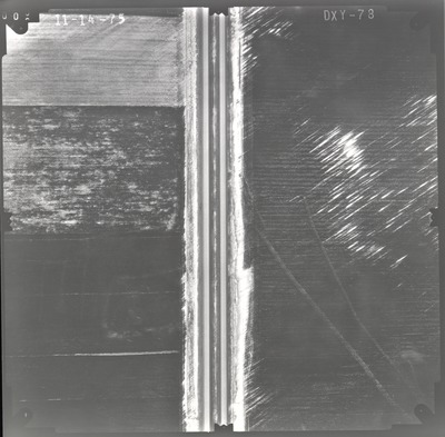
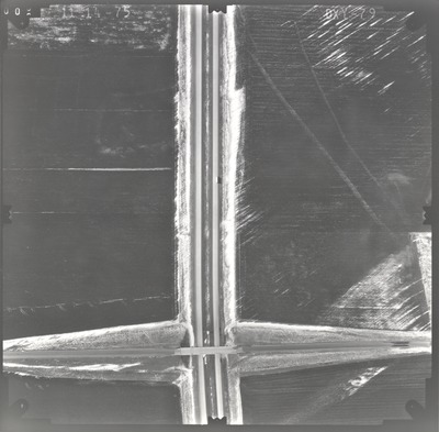
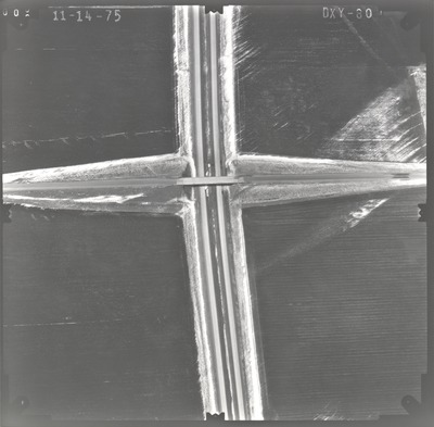
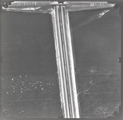
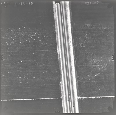
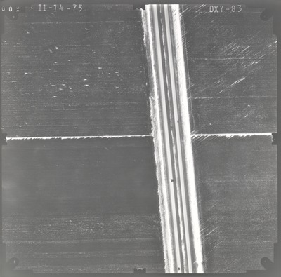
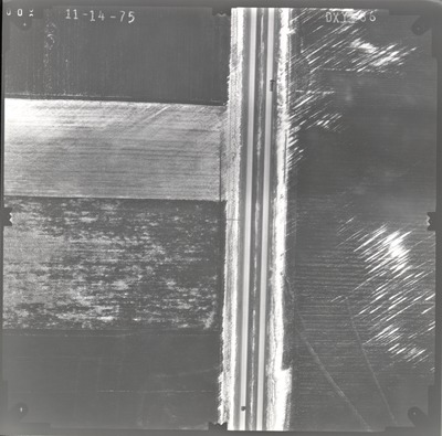
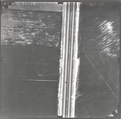
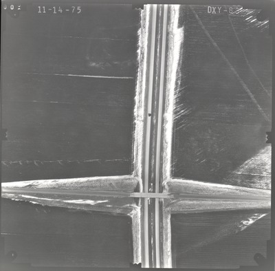
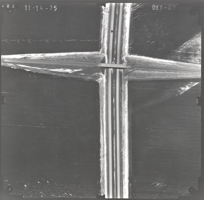
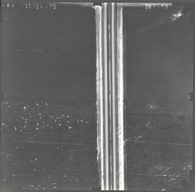
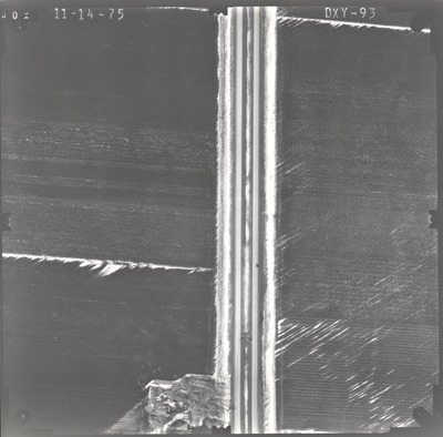
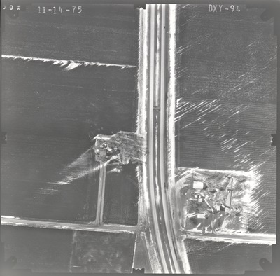
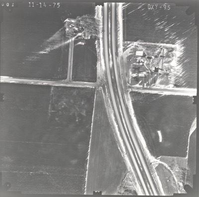
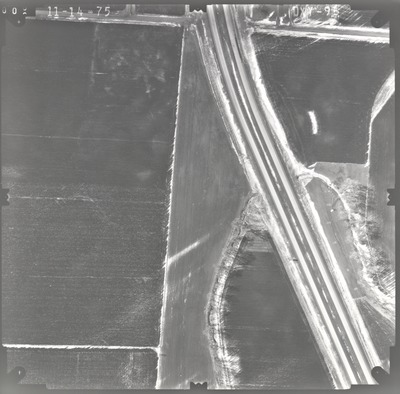
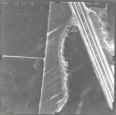
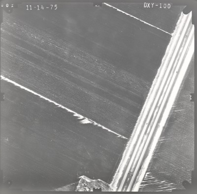
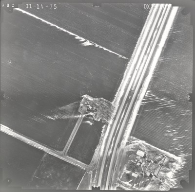
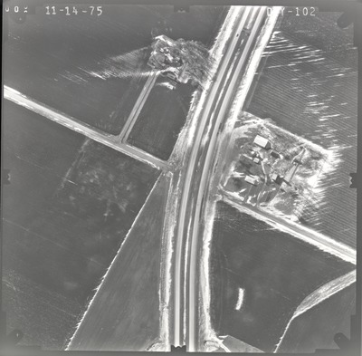
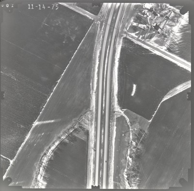
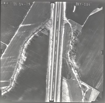
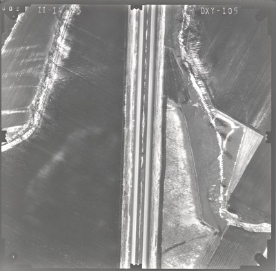
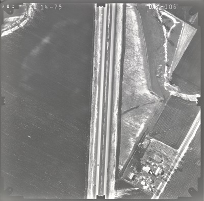
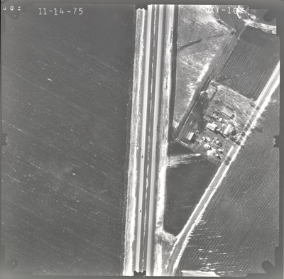
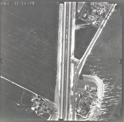
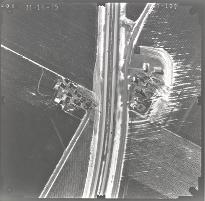
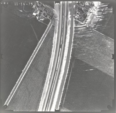
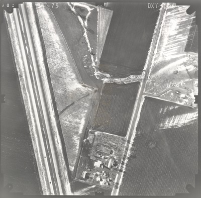
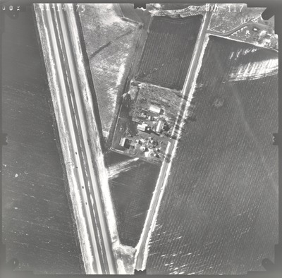
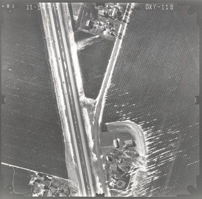
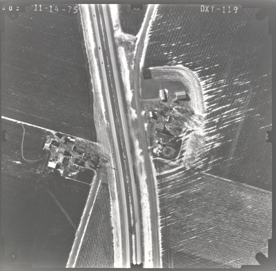
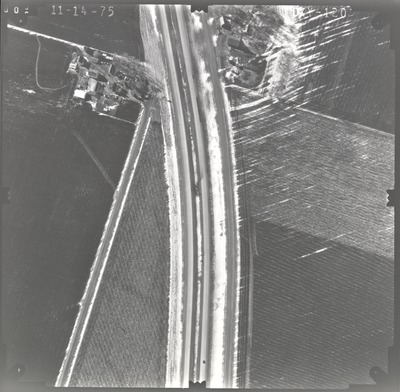
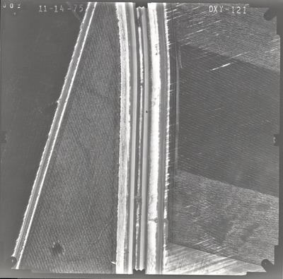
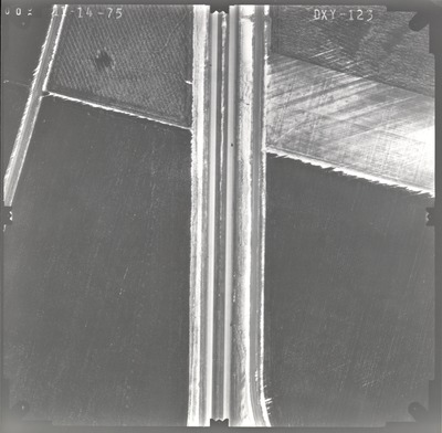
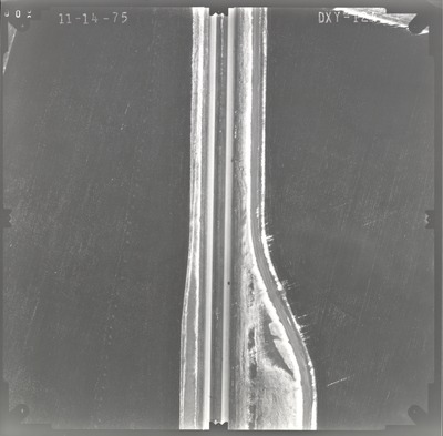
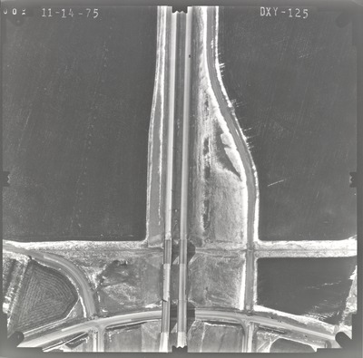
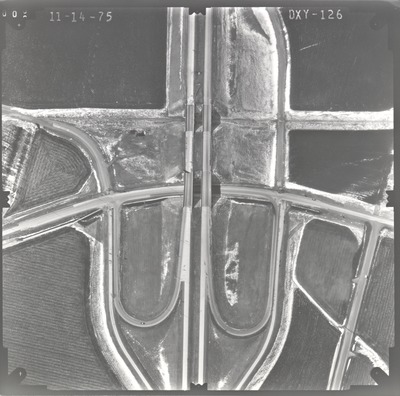
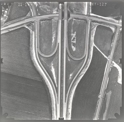
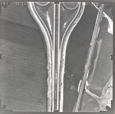
Aerial survey project no. 75F-23 was flown on November 14, 1975. These photos are a verbal scale of 1"=250'. The flight line follows an east-west direction and provides coverage for highway I-90 from County Road 9 to highway 4 north of Sherburn.
Printing is not supported at the primary Gallery Thumbnail page. Please first navigate to a specific Image before printing.


