

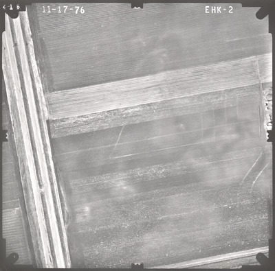
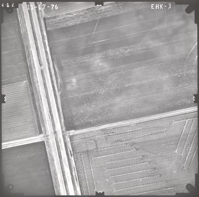
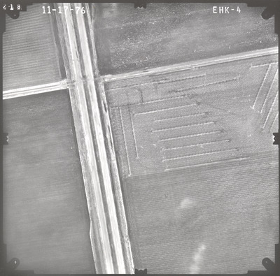
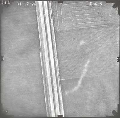
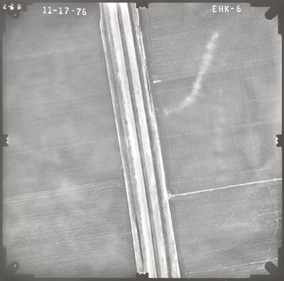
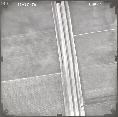
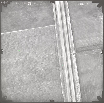
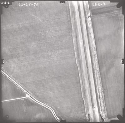
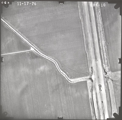
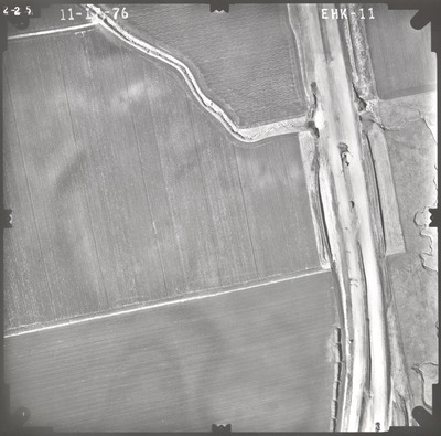
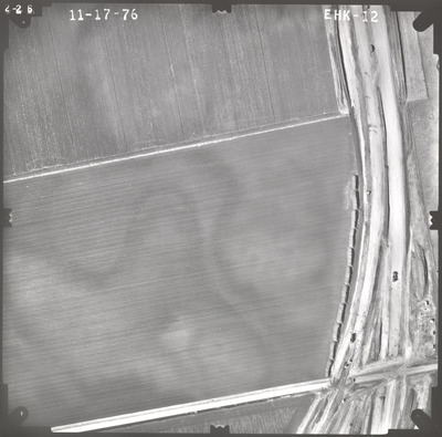
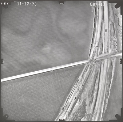
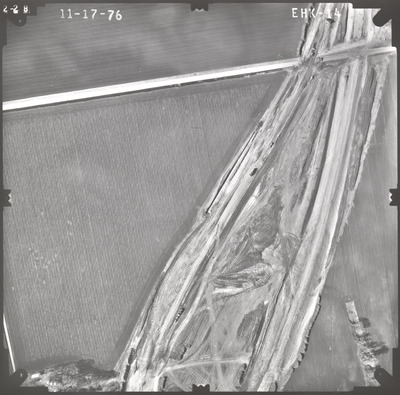
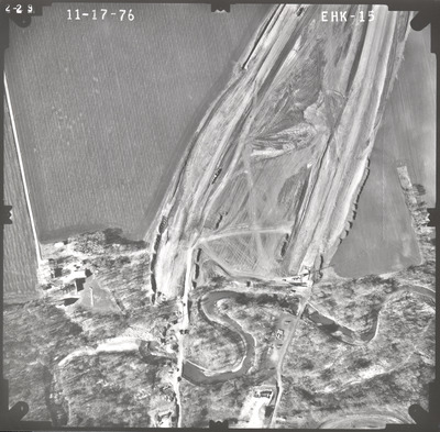
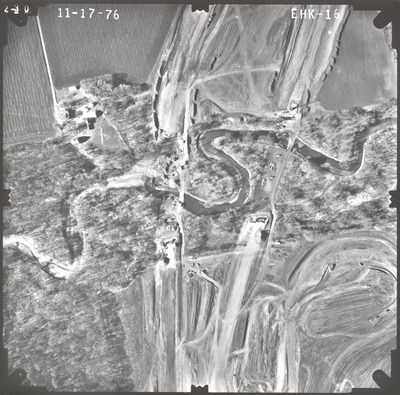
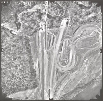
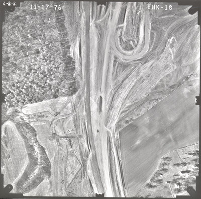
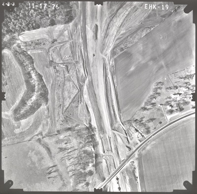
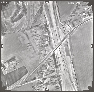
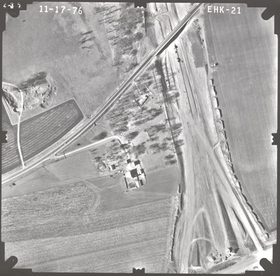
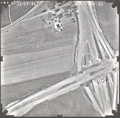
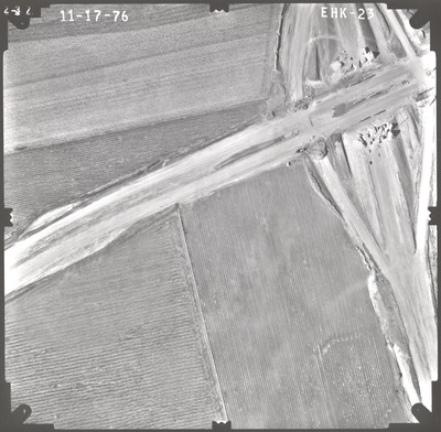
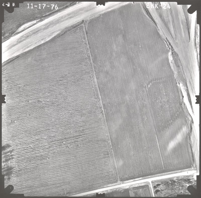
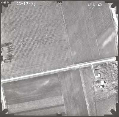
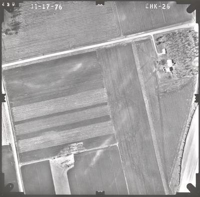
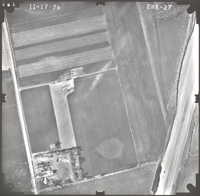
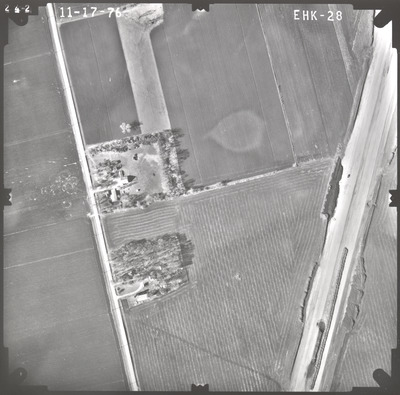
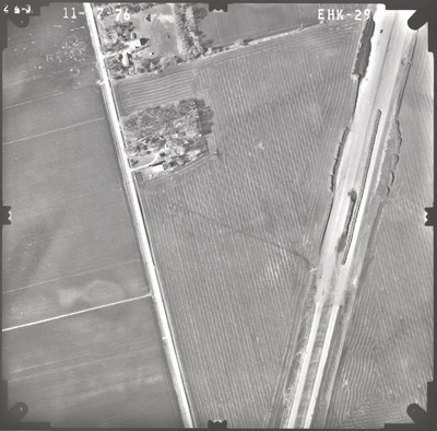
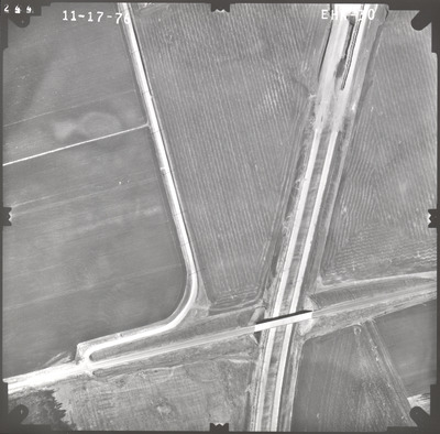
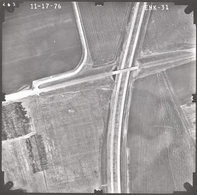
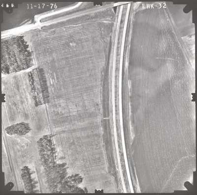
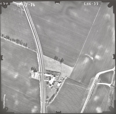
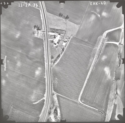
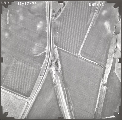
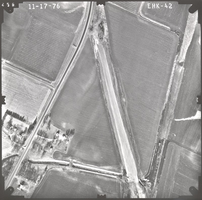
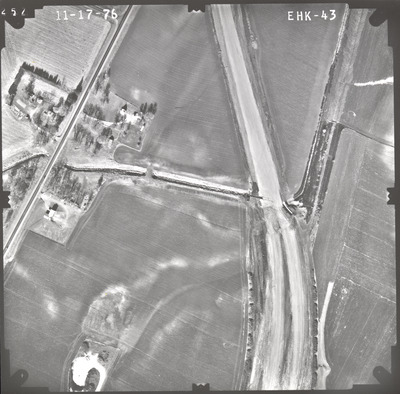
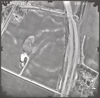
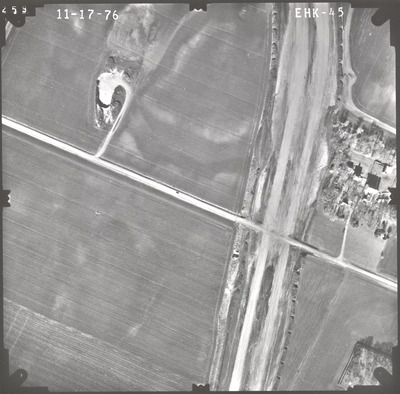
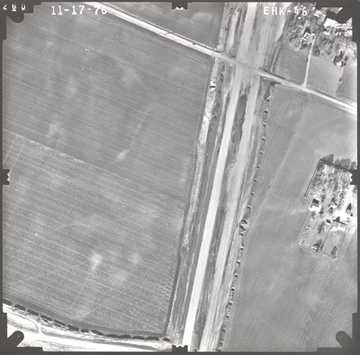
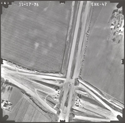
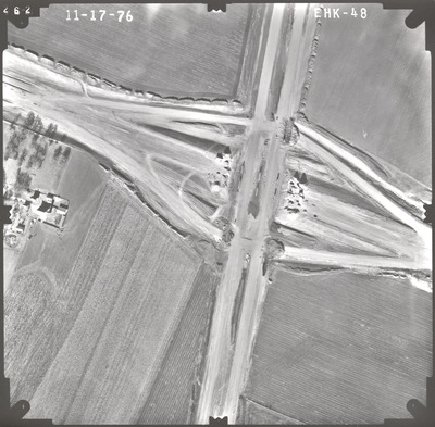
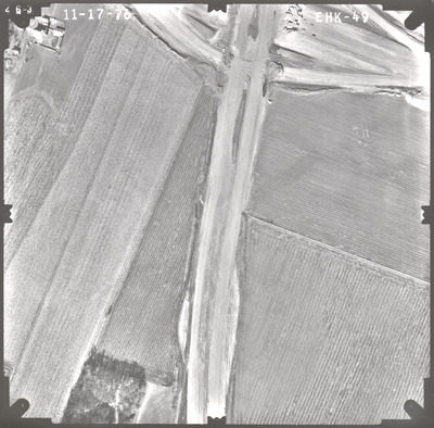
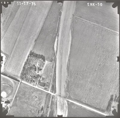
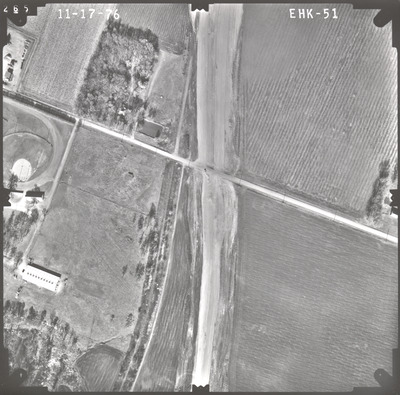
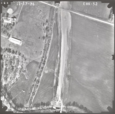
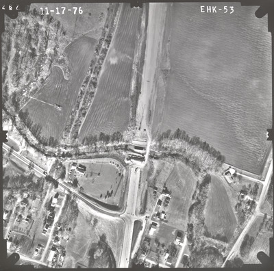
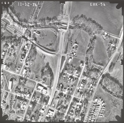
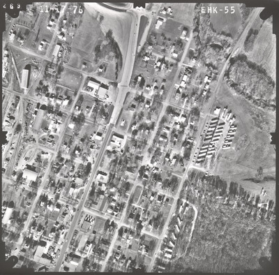
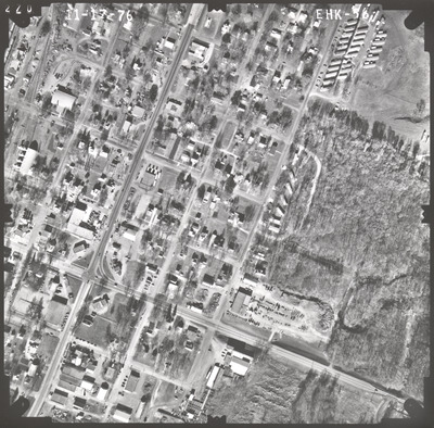
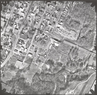
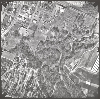
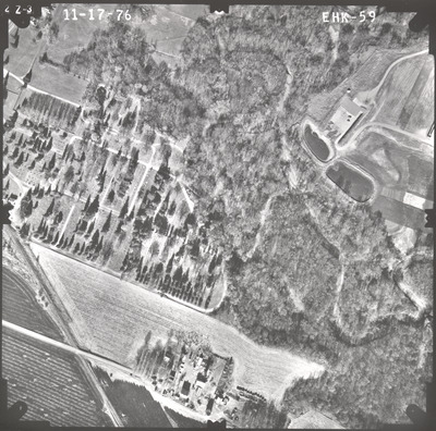
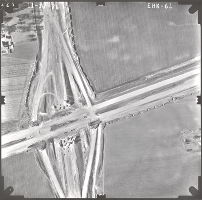
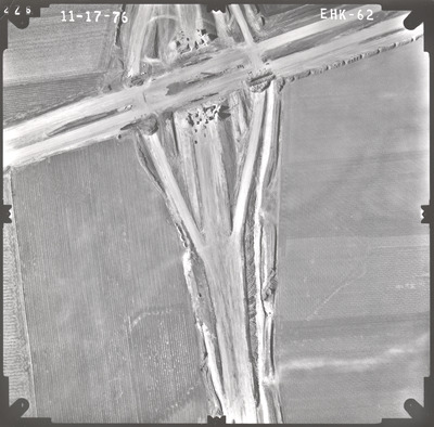
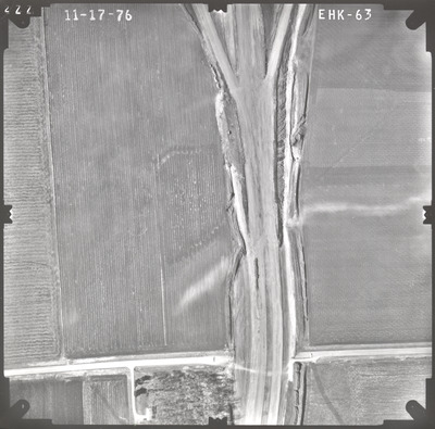
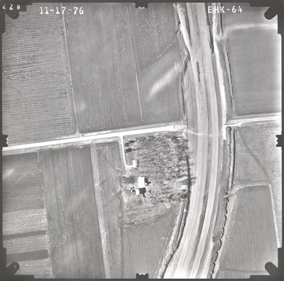
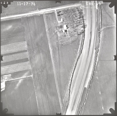
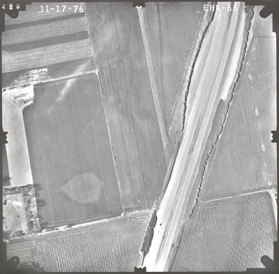
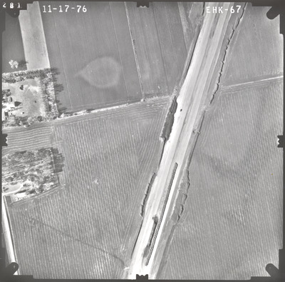
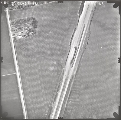
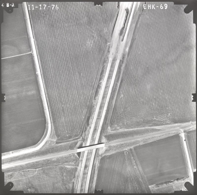
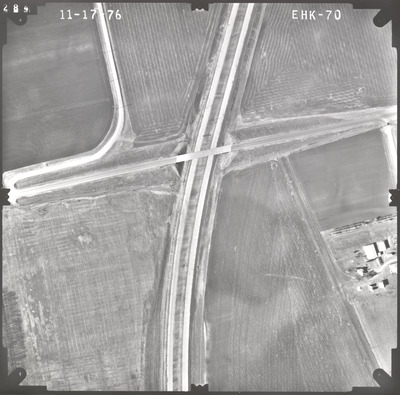
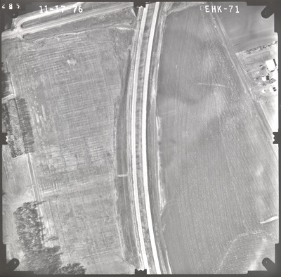
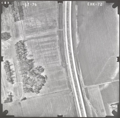
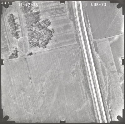
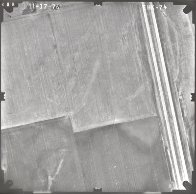
Aerial survey project no. 76F-3 was flown on November 17, 1976. These photos are a verbal scale of 1"=250'. The flight lines provide coverage for highways I-90 and 169 and the Blue Earth bypass.
Printing is not supported at the primary Gallery Thumbnail page. Please first navigate to a specific Image before printing.


