

Preview
Flight Code
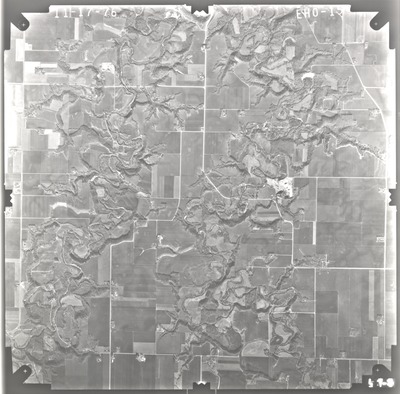
EHO
Date Flown
Fall 11-17-1976
Aerial Survey Project No. (A.S.P. No.)
76F-5
County
Blue Earth
Trunk Highway (T.H.)
14
Location
Mankato Area
Center Latitude
44° 2'50.11"N
Center Longitude
94° 0'35.03"W
Scale
1''=2500'
Flight Height
15000
Work Order No.
9
Agreement No.
58318
State Project No.
0702
Focal Length
153.13 mm
Physical Format
Black and White Physical Aerial Photograph
Dimensions
9 x 9
Item Type
Still Image
Collection Name
Minnesota Department of Transportation District 7 Air Photo Collection, 1957-2006
Contributing Organization
Dr. Mary T. Dooley Map Library, Memorial Library, Minnesota State University, Mankato, P.O. Box 8419, Mankato, MN 56002-8419
Contact Information
Dr. Mary T. Dooley Map Library, Memorial Library, Minnesota State University, Mankato, P.O. Box 8419, Mankato, MN 56002-8419
Creative Commons License

This work is licensed under a Creative Commons Attribution-NonCommercial 4.0 International License
Scanning Center
Dr. Mary T. Dooley Map Library, Memorial Library, Minnesota State University, Mankato, P.O. Box 8419, Mankato, MN 56002-8419
Object File Name
MnDOT_1976_76F-5_EHO-15.tif
Date Digital
2022-01-10
Item Digital Format
Image/tiff
Master File Format
Image/tiff
Master File Size
93281372
Master File Bit Depth
24
Master File Resolution
800 dpi
Master File Width
7552
Master File Height
7439
Master File Hardware
Epson Expression 10000XL
Master File Software
VueScan
Master File System
Windows 10
Master File Checksum
dc0dae476d9d46074f4305437da38792
Keywords
mndot, air photos, aerial photography, 1976, cobb river, maple river, stream, gravel pit

