• Home
  • Search
  • Browse Collections
  • My Account
  • About
  • DC Network Digital Commons Network™
Skip to main content
Cornerstone: A Collection of Scholarly and Creative Works for Minnesota State University, Mankato
  • Home
  • About
  • FAQ
  • My Account

Home > MAPS > MAPS-MNDOT7-AIR-PHOTOS > MNDOT7-1976-76S-10

1976 Aerial Survey Project No. 76S-10 (DZT)

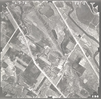
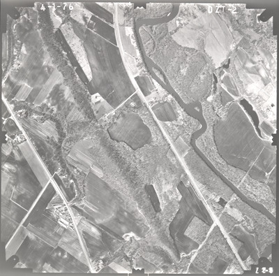
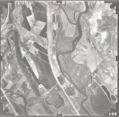
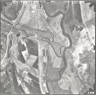
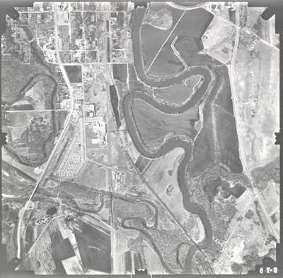
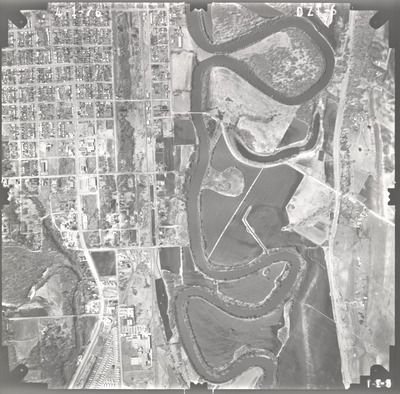
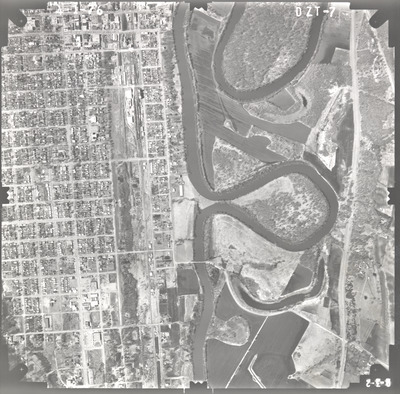
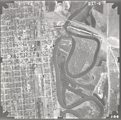
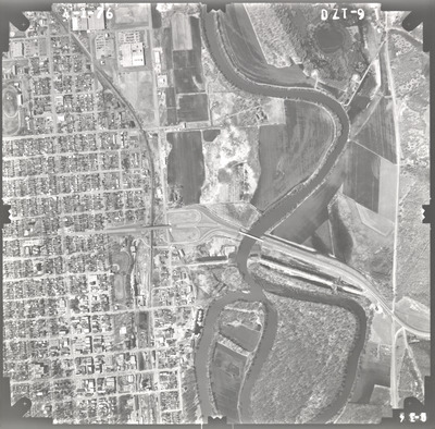
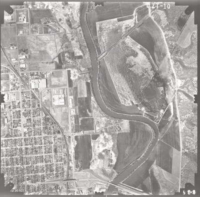
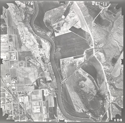
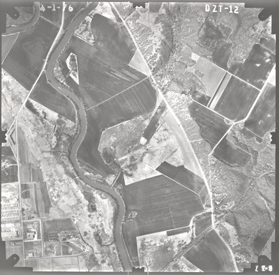
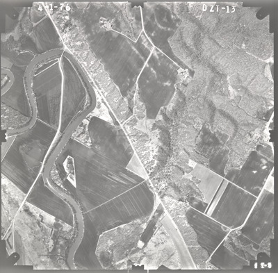
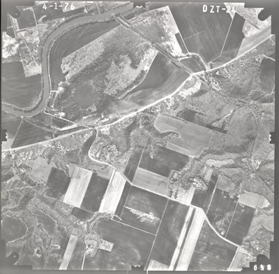
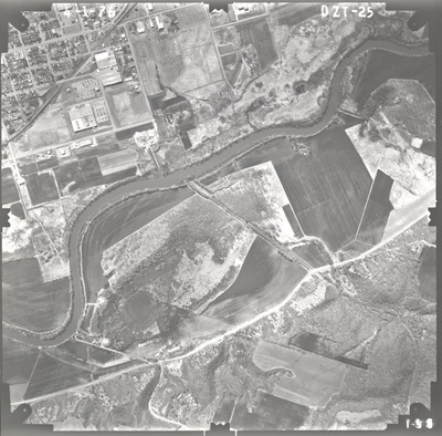
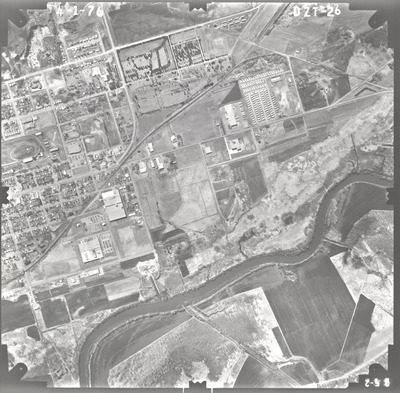
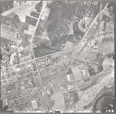
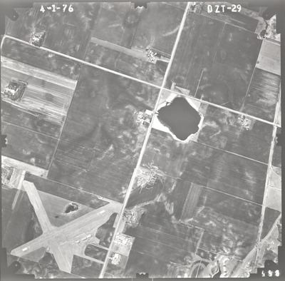
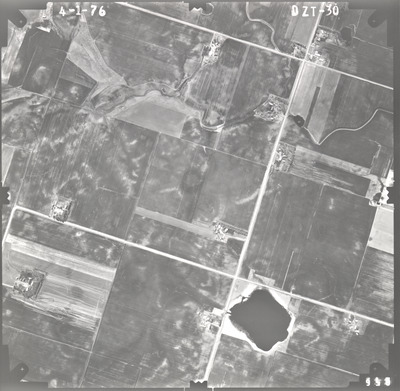
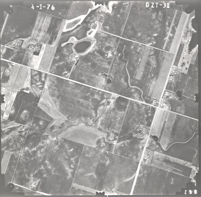
Aerial survey project no. 76S-10 was flown on April 1, 1976. These photos are a verbal scale of 1"=1,000'. The flight lines provide coverage for highways 15 and 68 from the junction south of New Ulm to 2 miles west of the junction of highways 15 and 14.

Printing is not supported at the primary Gallery Thumbnail page. Please first navigate to a specific Image before printing.

Follow

Switch View to List View Slideshow
 
  • DZT-31 by Mark Hurd Aerial Surveys, Inc. Minneapolis, Minnesota

    DZT-31

 
  • 1
  • 2


Search

Advanced Search

  • Notify me via email or RSS

Author Corner

  • All Authors
  • Author FAQ
  • Submit Research

University Resources

  • Digital Exhibits
  • ARCH: University Archives Digital Collections
  • Library Services
  • Minnesota State University, Mankato
  • Contact Us
Minnesota State University Mankato Minnesota State
 
Elsevier - Digital Commons

Home | About | FAQ | My Account | Accessibility Statement

Privacy Copyright