

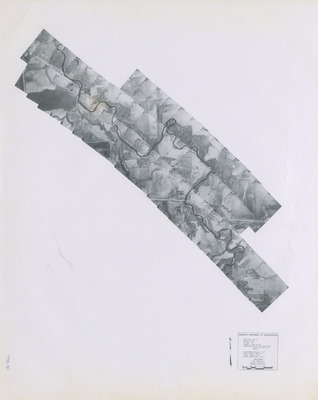
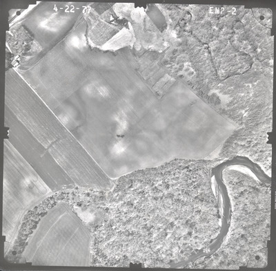
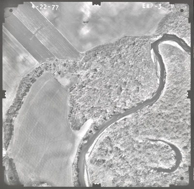
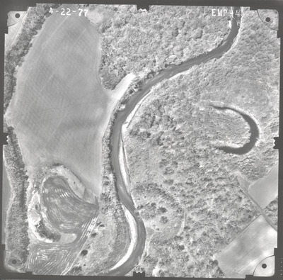
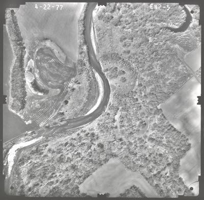
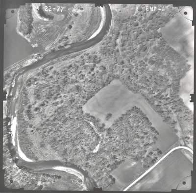
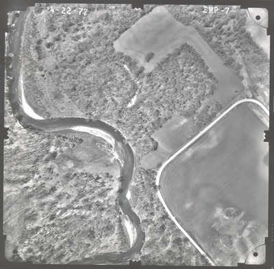
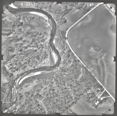
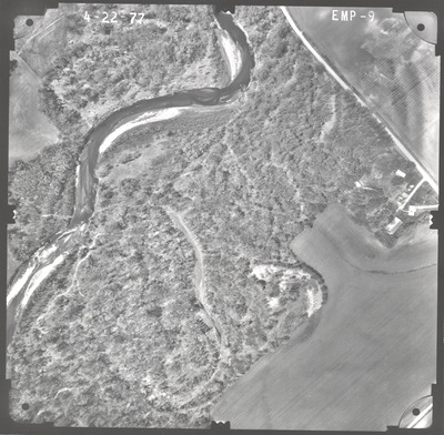
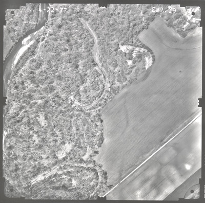
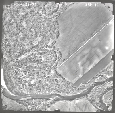
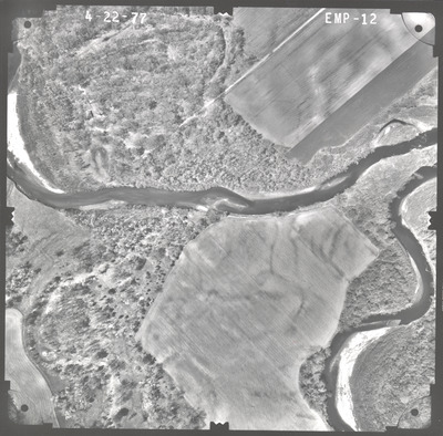
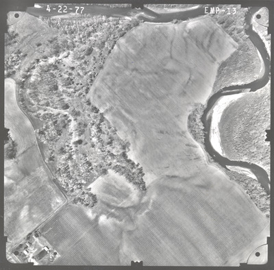
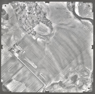
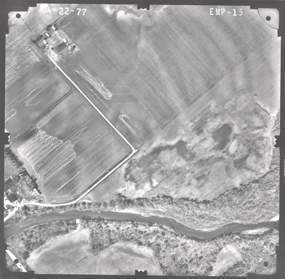
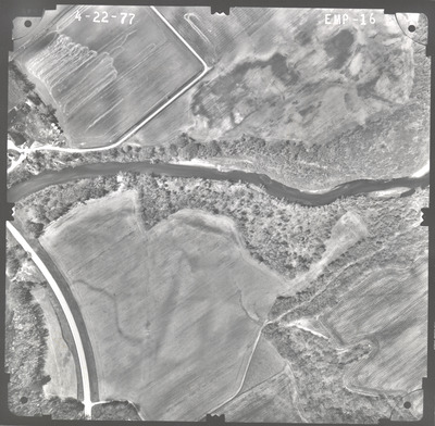
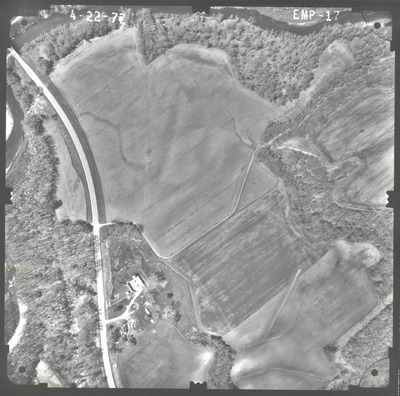
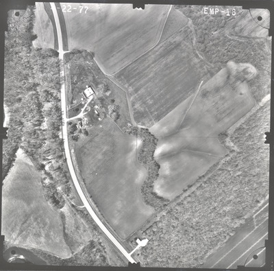
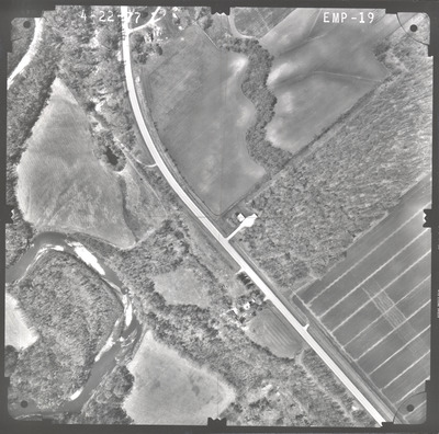
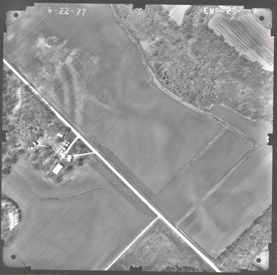
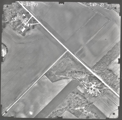
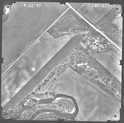
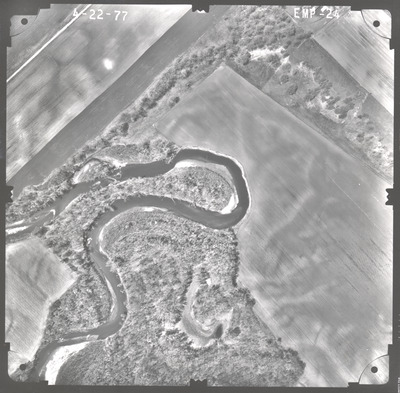
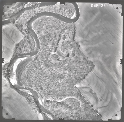
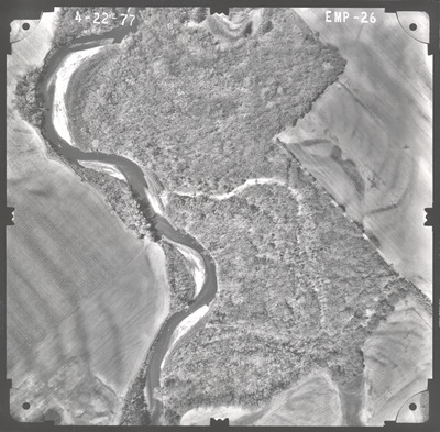
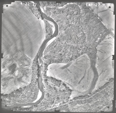
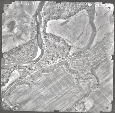
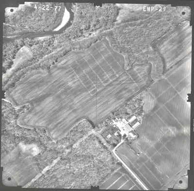
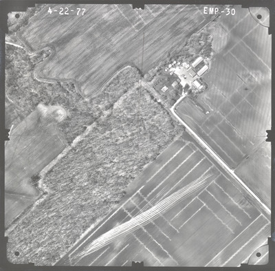
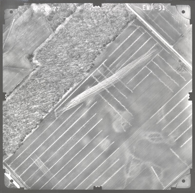
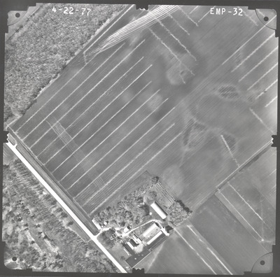
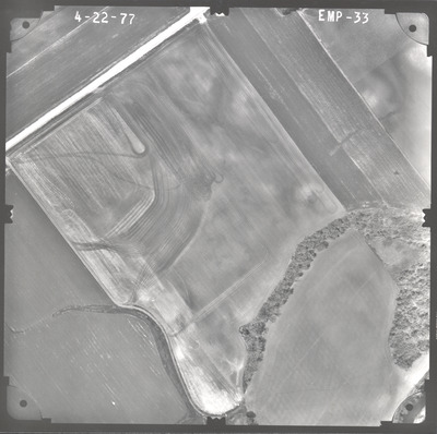
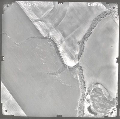
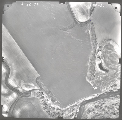
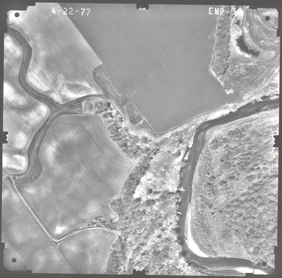
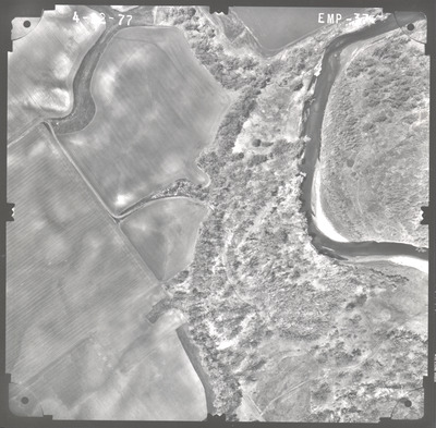
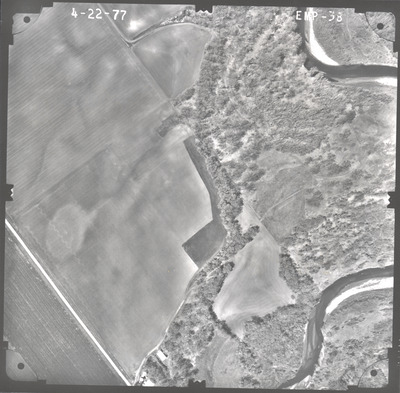
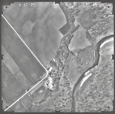
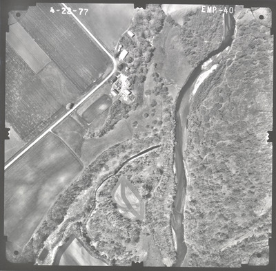
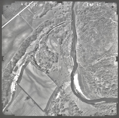
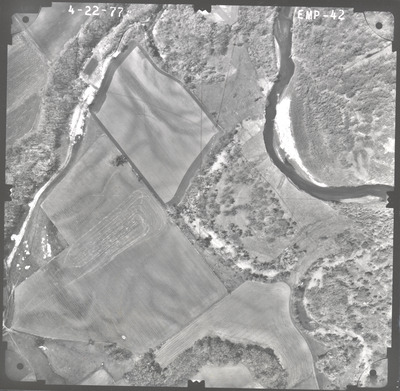
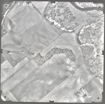
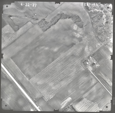
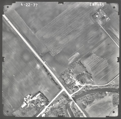
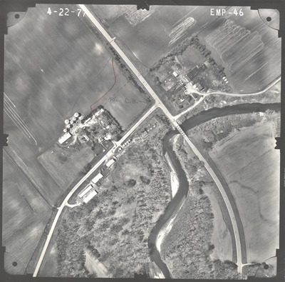
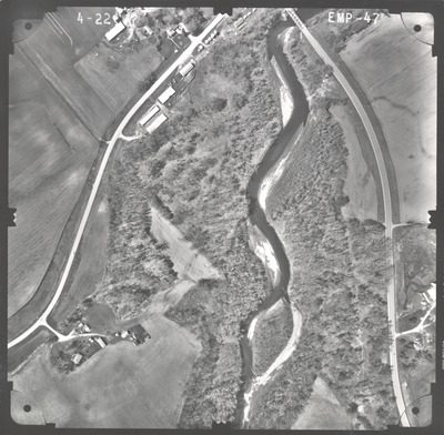
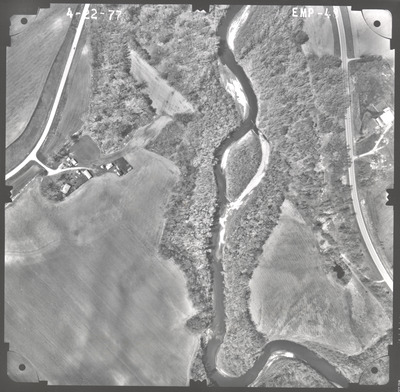
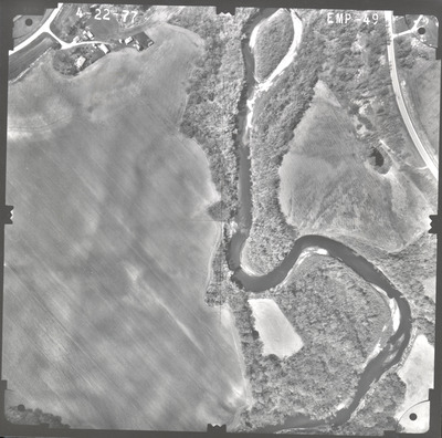
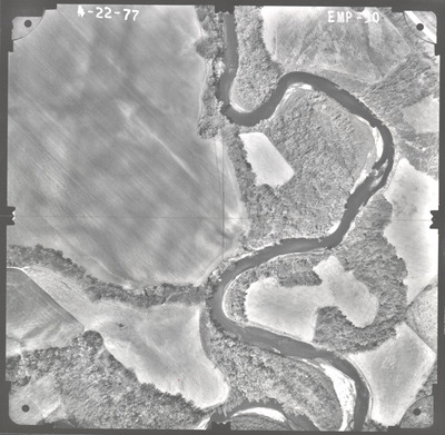
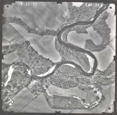
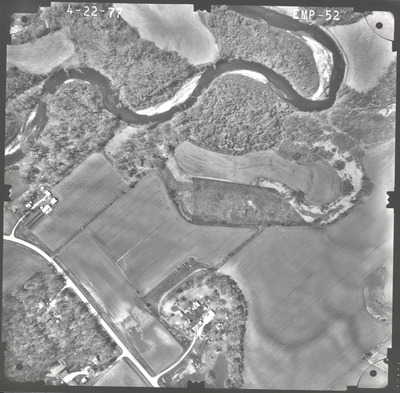
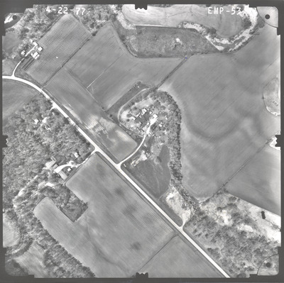
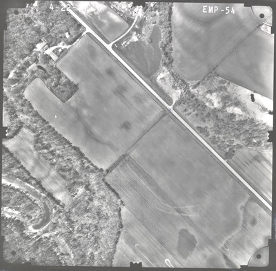
Aerial survey project no. 77S-31 was flown on April 22, 1977. These photos are a verbal scale of 1"=250'. The flight lines provide coverage for highway 30 and bridge 5385 over the Blue Earth River 2.5 miles west of Amboy. ASP No. 77S-31 includes index sheet 1. The index indicates the focal length is 152.46mm but the air photos read 152.47mm.


