

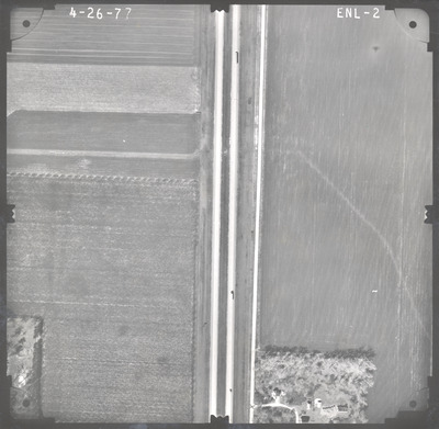
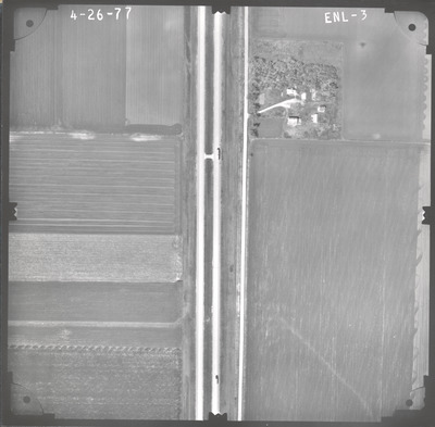
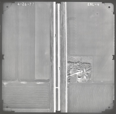
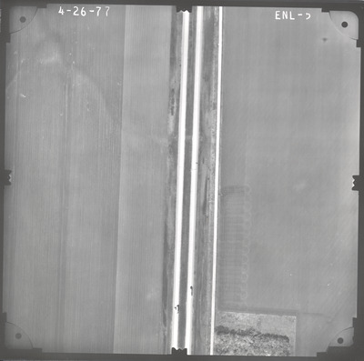
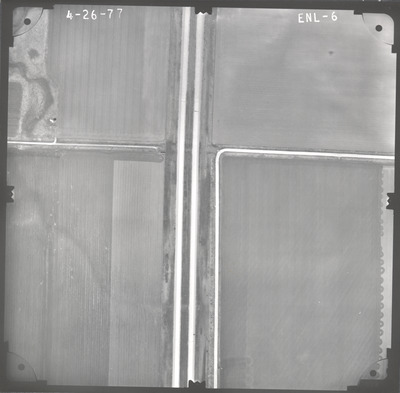
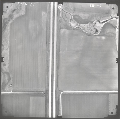
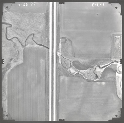
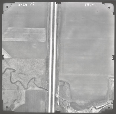
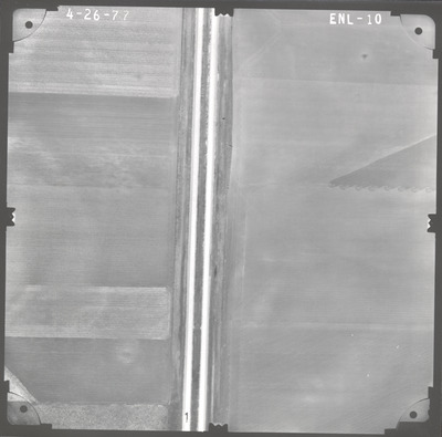
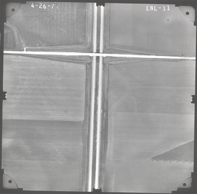
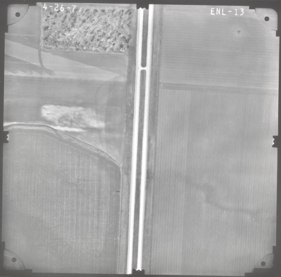
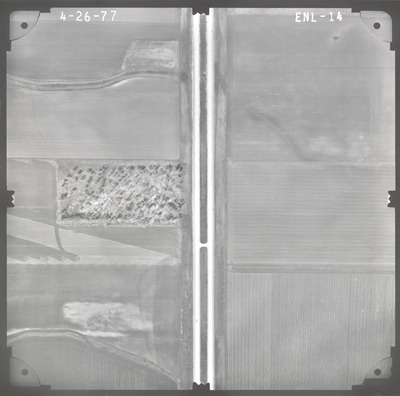
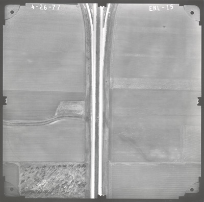
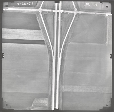
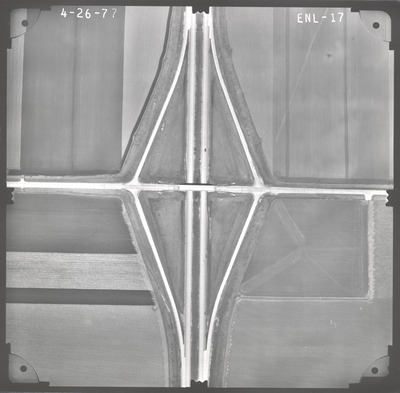
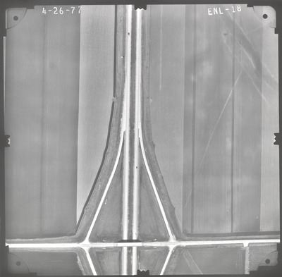
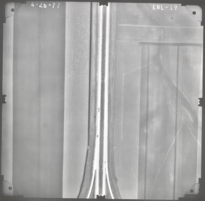
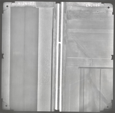
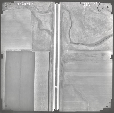
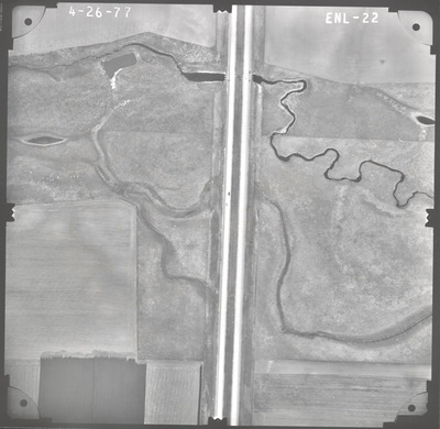
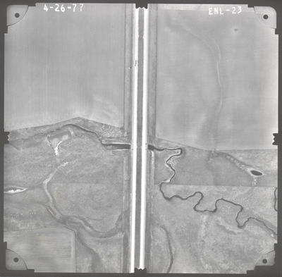
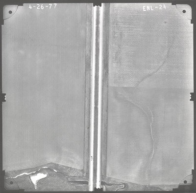
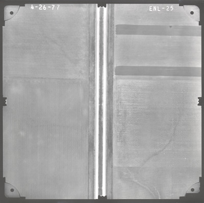
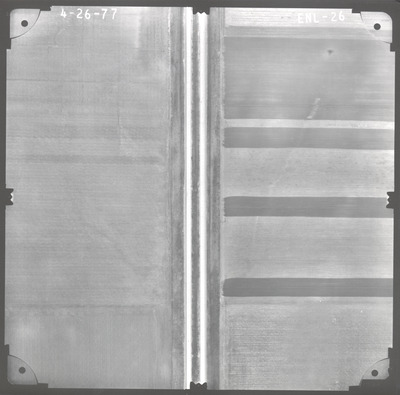
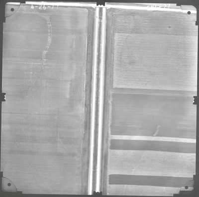
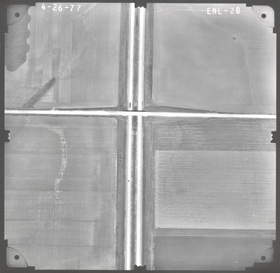
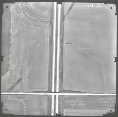
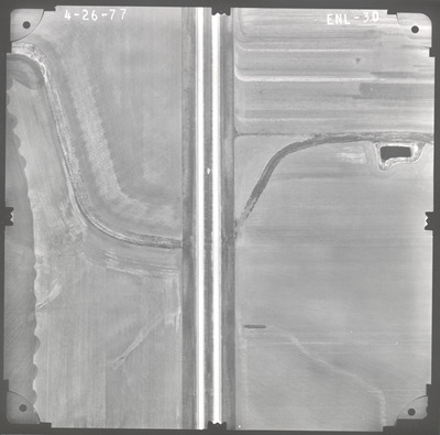
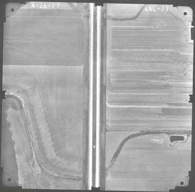
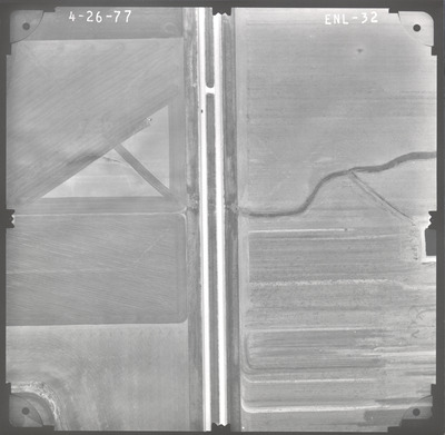
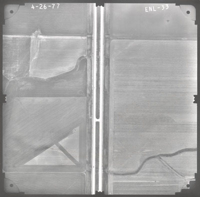
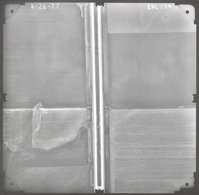
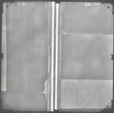
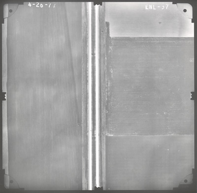
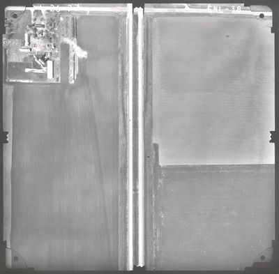
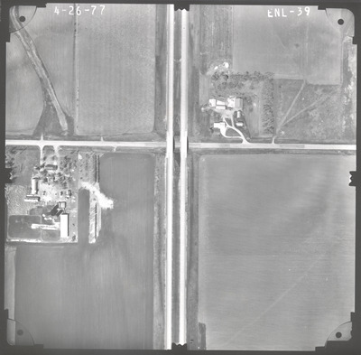
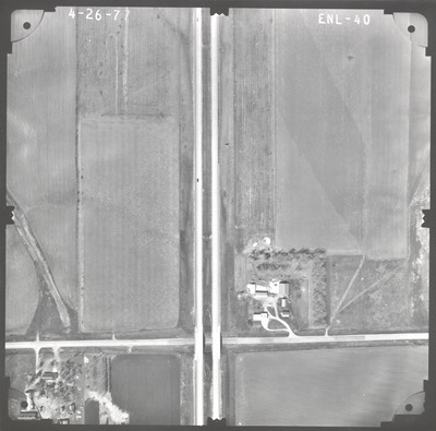
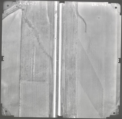
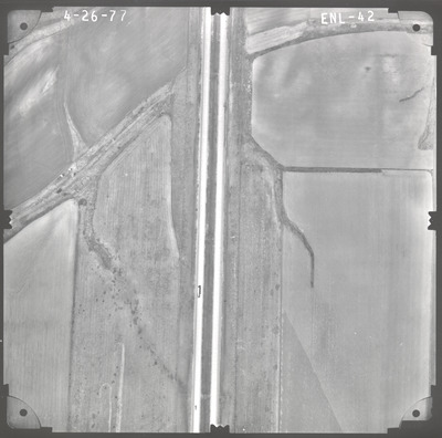
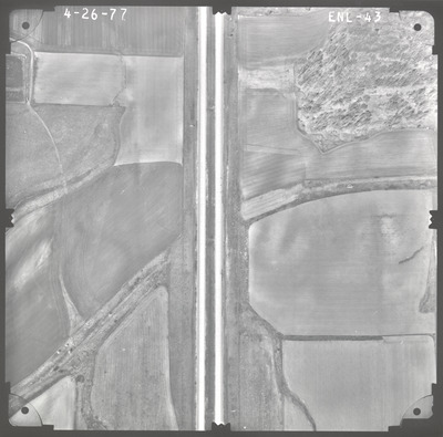
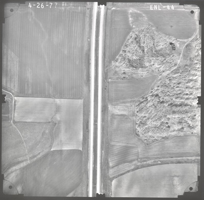
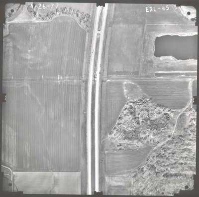
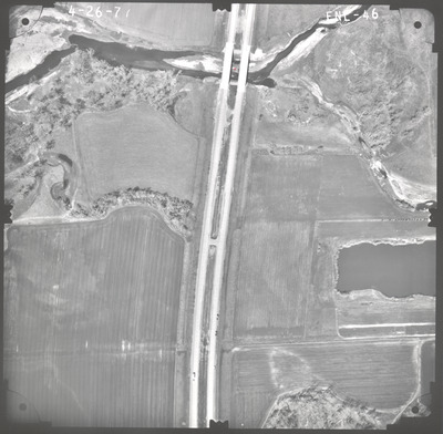
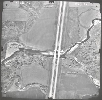
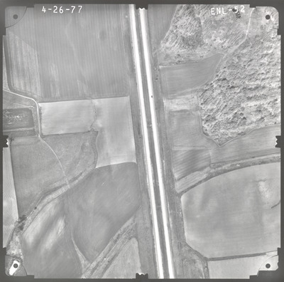
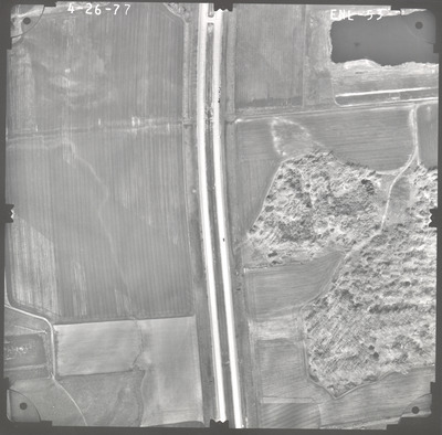
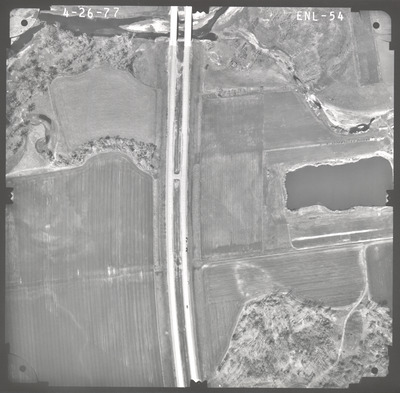
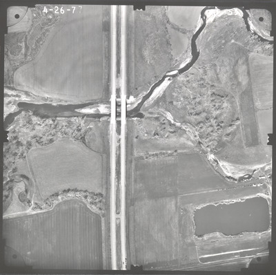
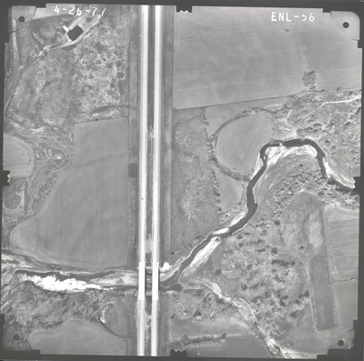
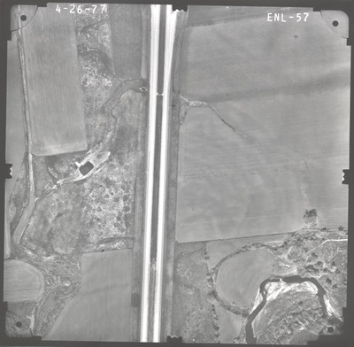
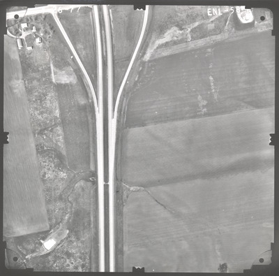
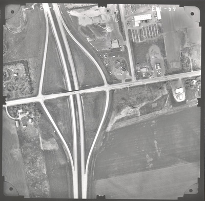
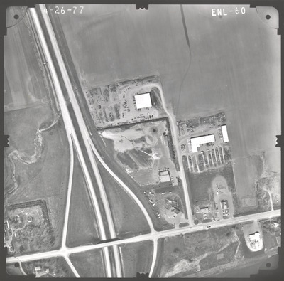
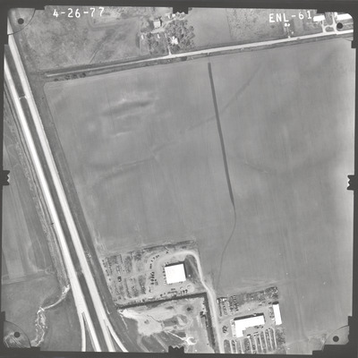
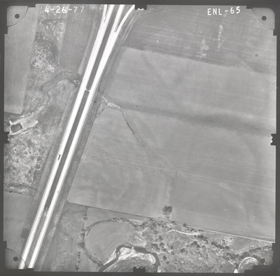
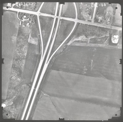
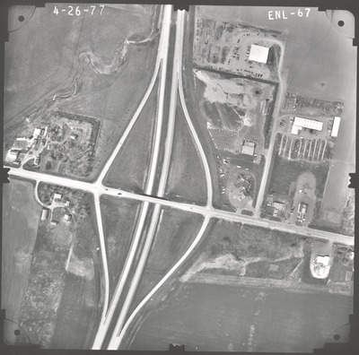
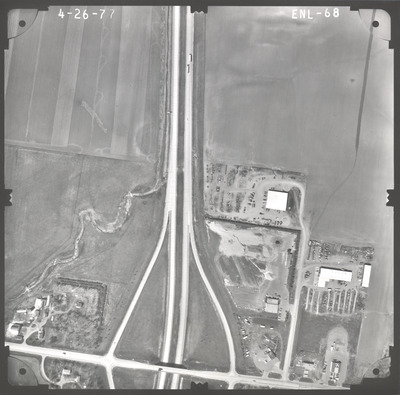
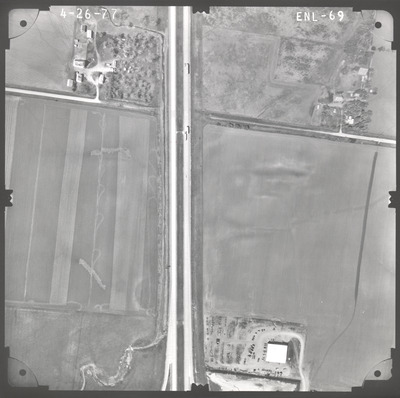
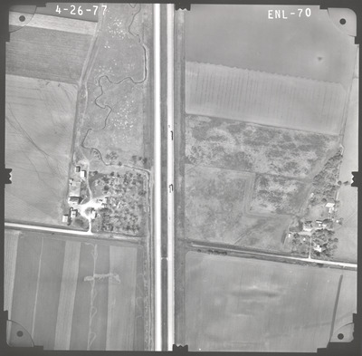
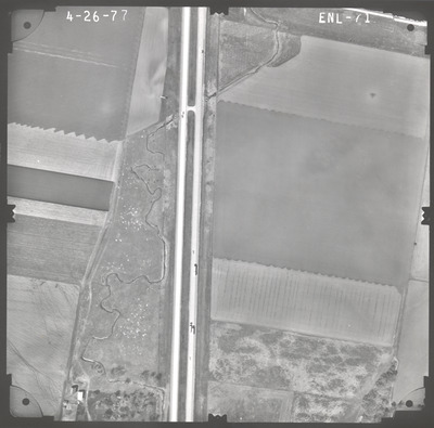
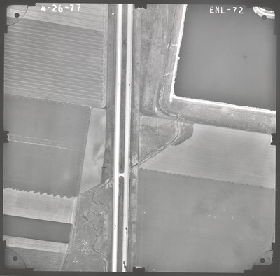
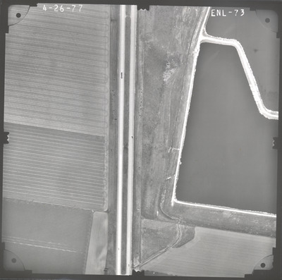
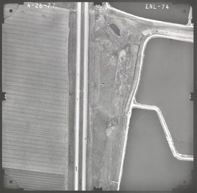
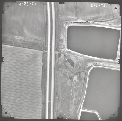
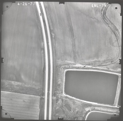
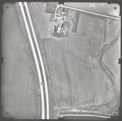
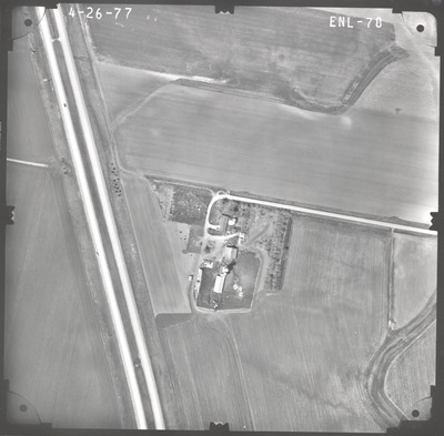
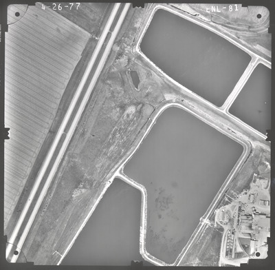
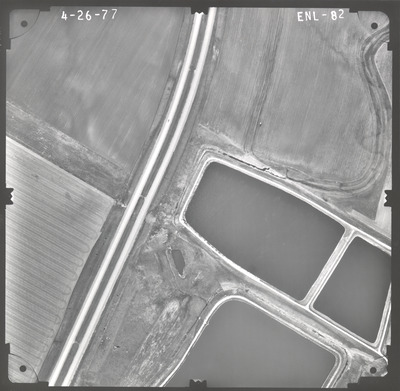
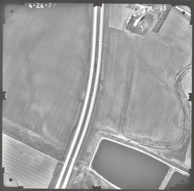
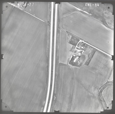
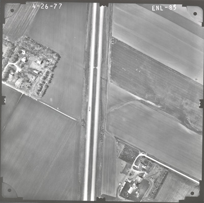
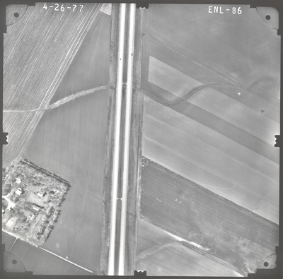
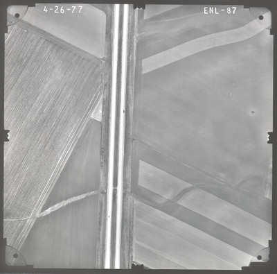
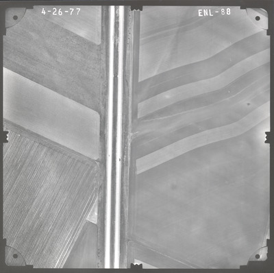
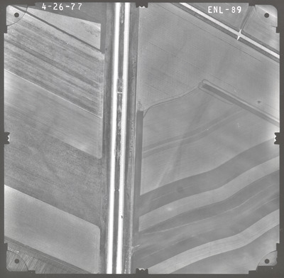
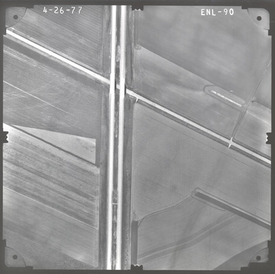
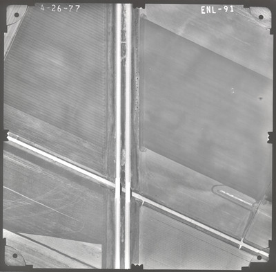
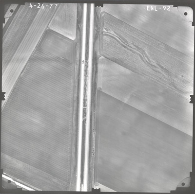
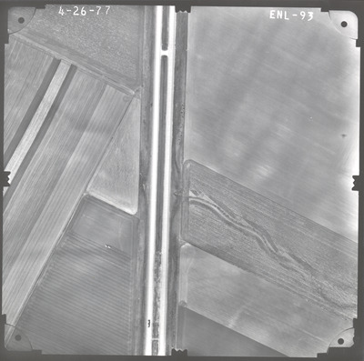
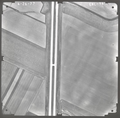
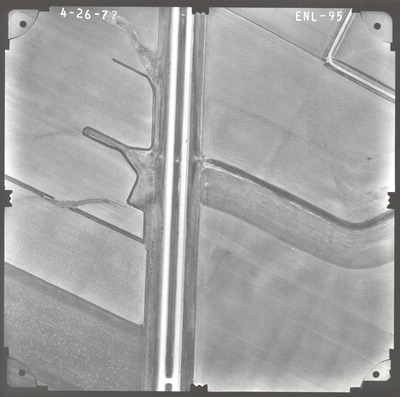
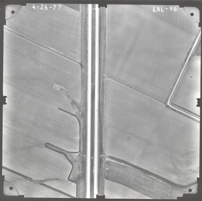
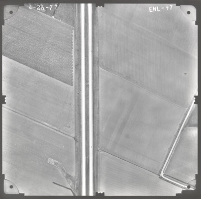
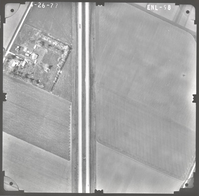
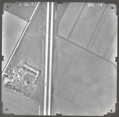
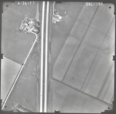
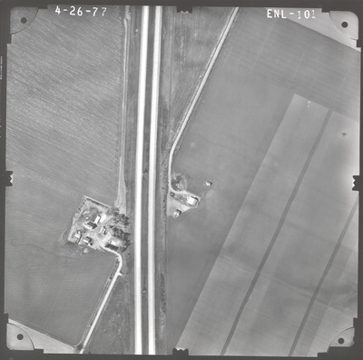
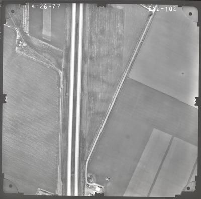
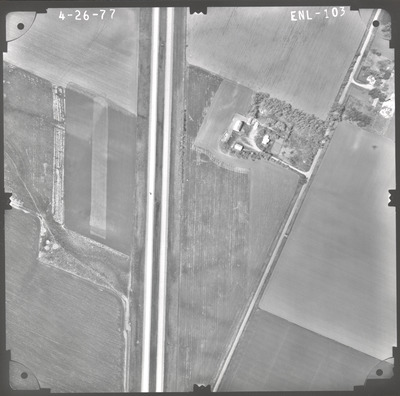
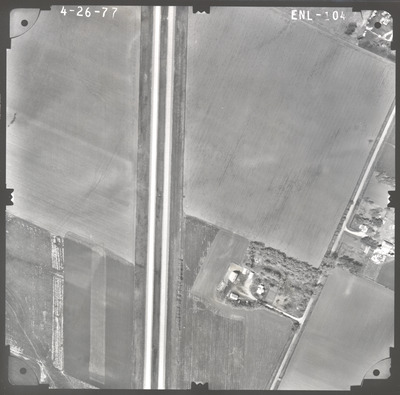
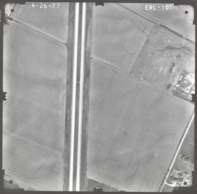
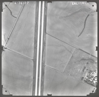
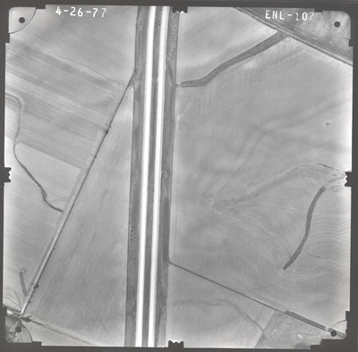
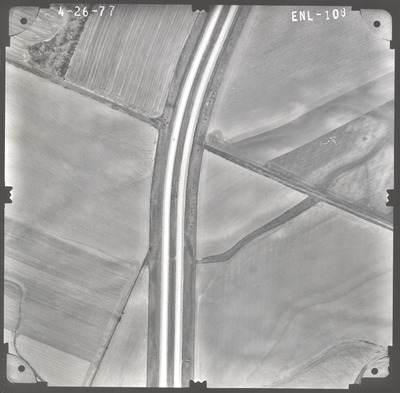
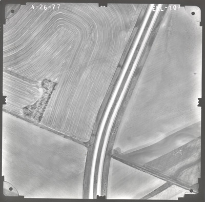
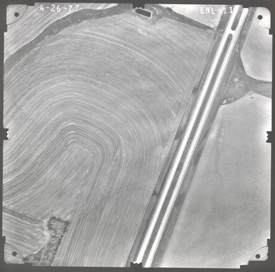
Aerial survey project no. 77S-40 was flown on April 26, 1977. These photos are a verbal scale of 1"=250'. The flight line follows an east-west direction and provides coverage for highway I-90 from the eastern Rock County line to the western Minnesota State Line.
Printing is not supported at the primary Gallery Thumbnail page. Please first navigate to a specific Image before printing.


