

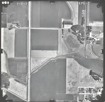
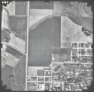
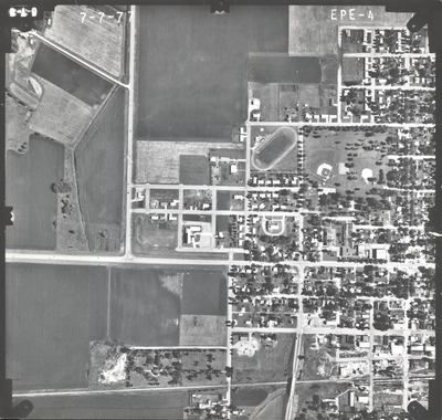
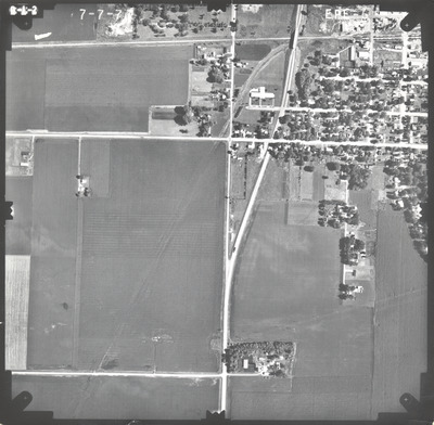
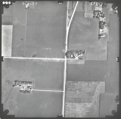
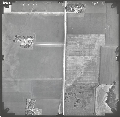
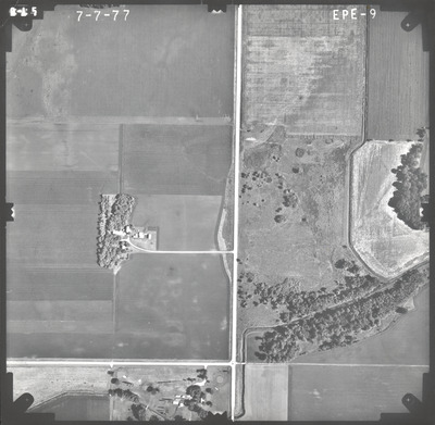
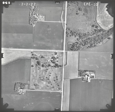
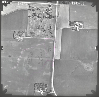
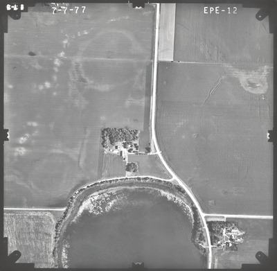
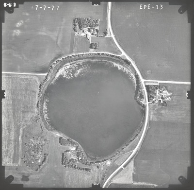
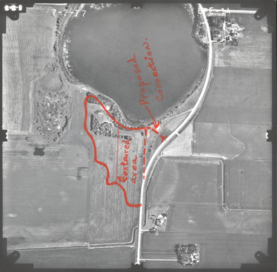
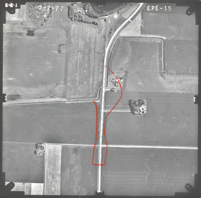
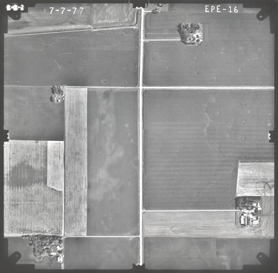
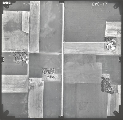
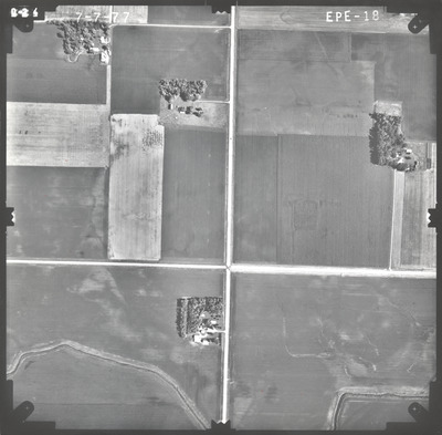
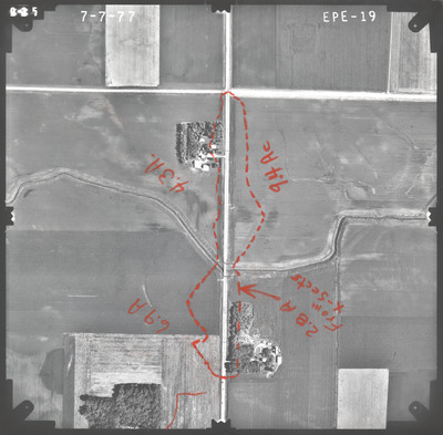
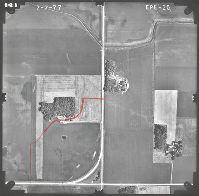
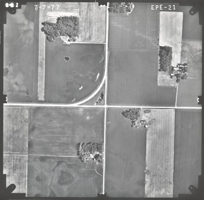
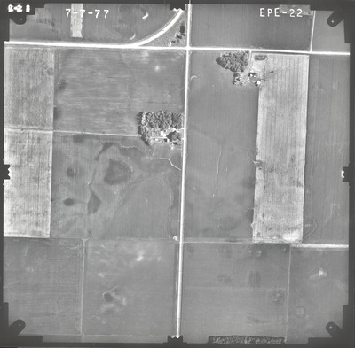
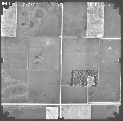
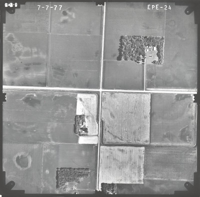
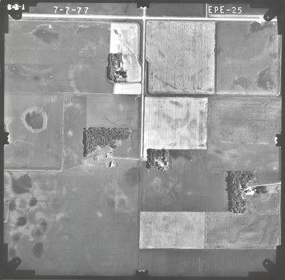
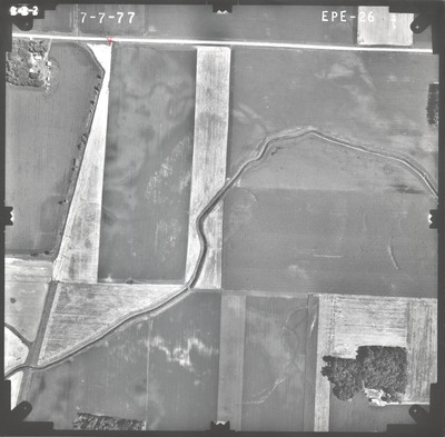
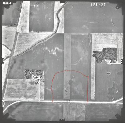
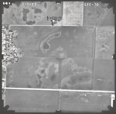
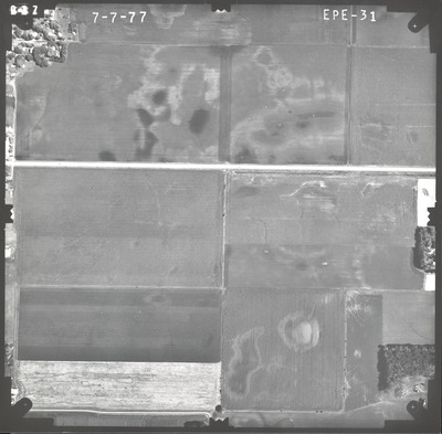
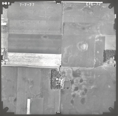
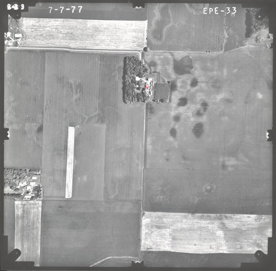
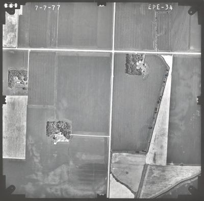
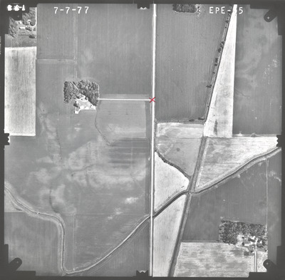
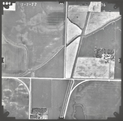
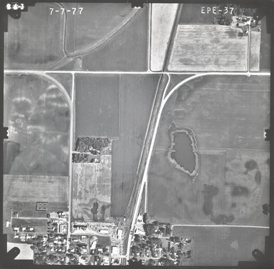
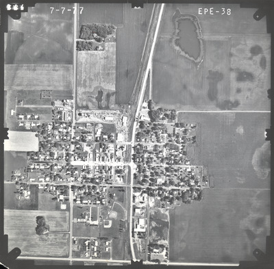
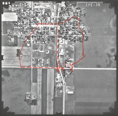
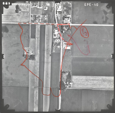
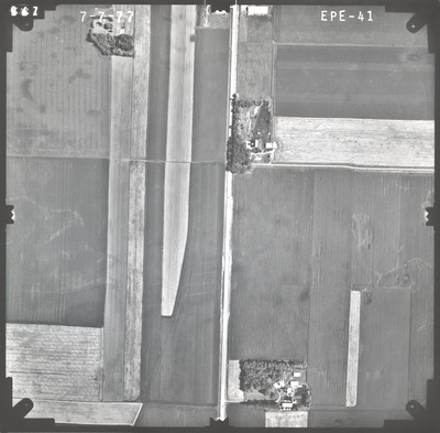
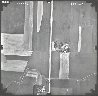
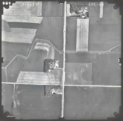
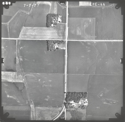
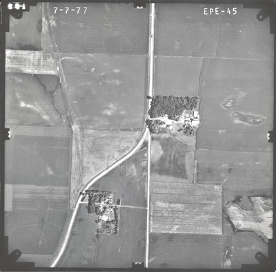
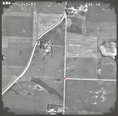
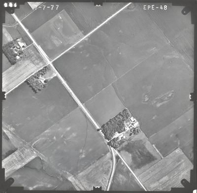
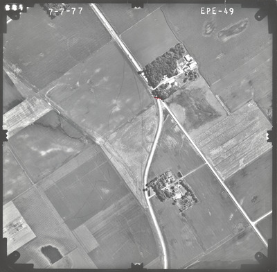
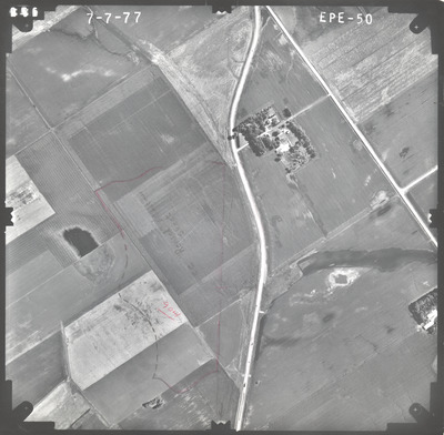
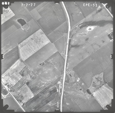
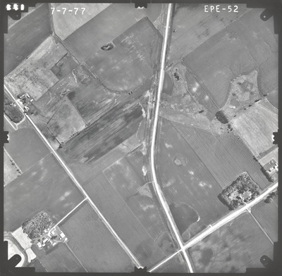
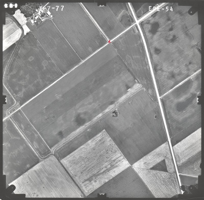
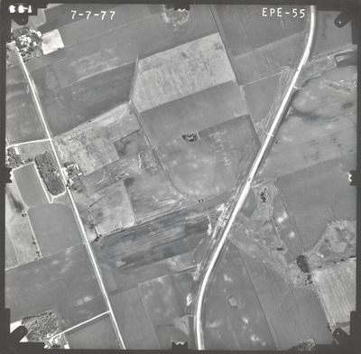
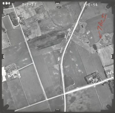
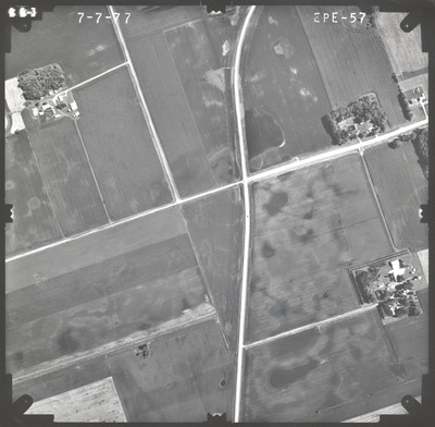
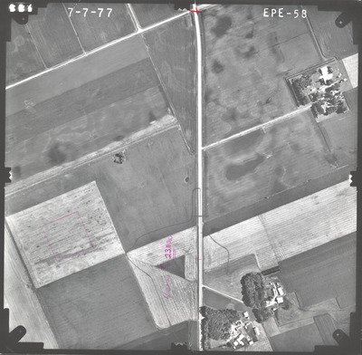
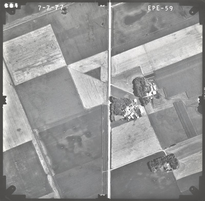
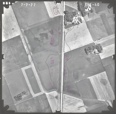
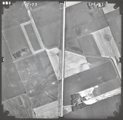
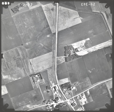
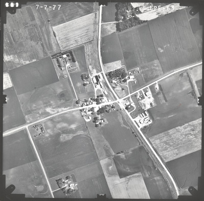
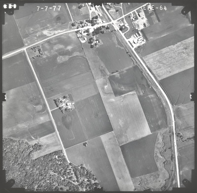
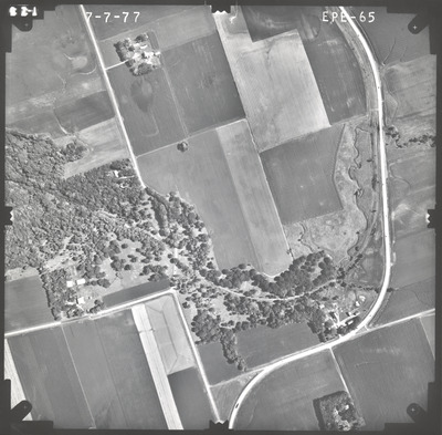
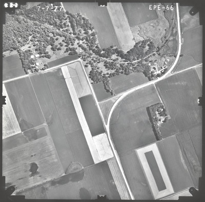
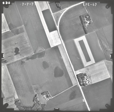
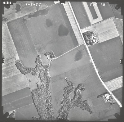
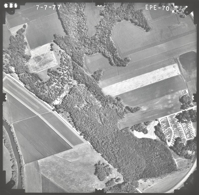
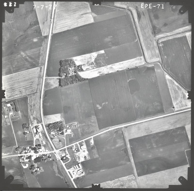
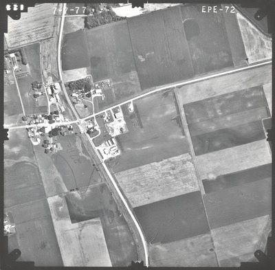
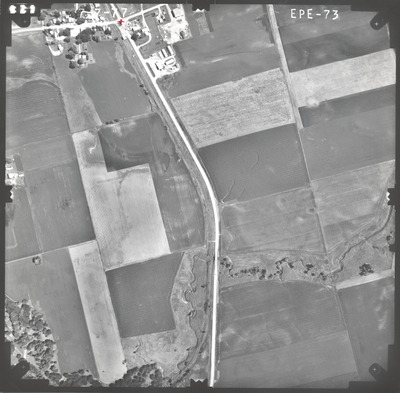
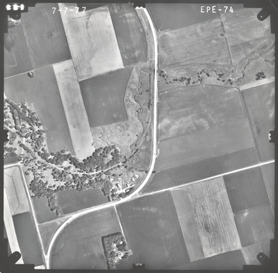
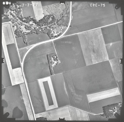
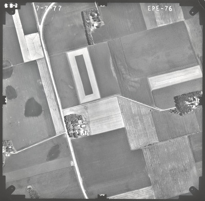
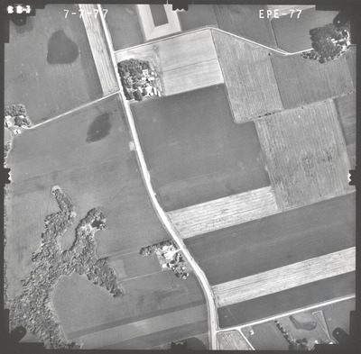
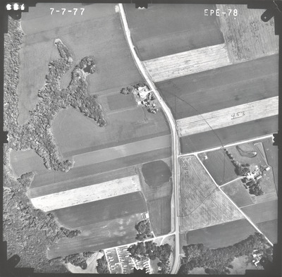
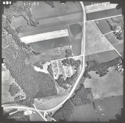
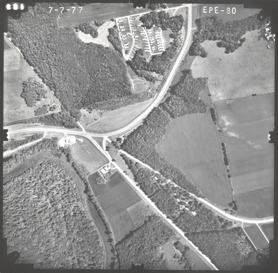
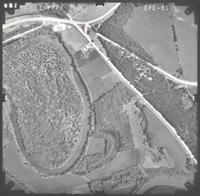
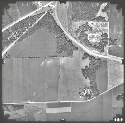
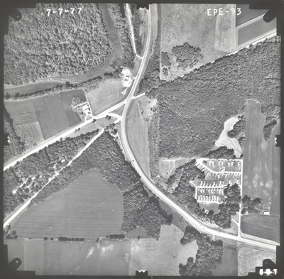
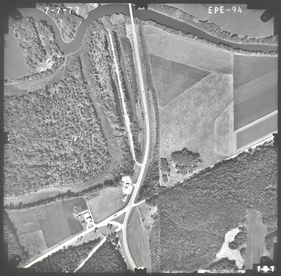
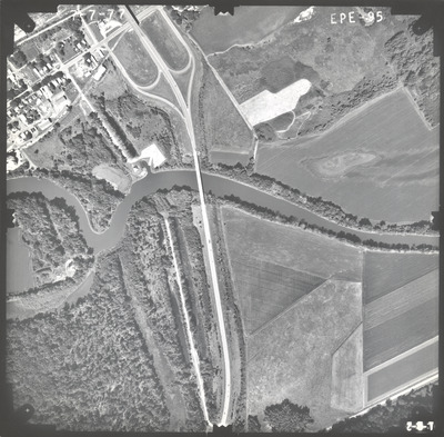
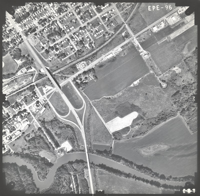
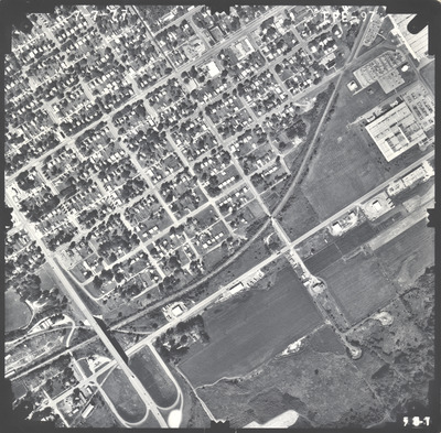
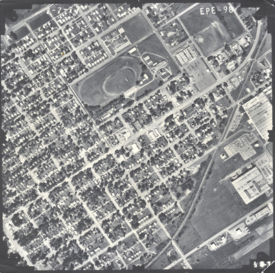
Aerial survey project no. 77S-95 was flown on July 7, 1977. These photos are a verbal scale of 1"=500'. The flight lines provide coverage for highway 15 from Winthrop to New Ulm.
Printing is not supported at the primary Gallery Thumbnail page. Please first navigate to a specific Image before printing.


