• Home
  • Search
  • Browse Collections
  • My Account
  • About
  • DC Network Digital Commons Network™
Skip to main content
Cornerstone: A Collection of Scholarly and Creative Works for Minnesota State University, Mankato
  • Home
  • About
  • FAQ
  • My Account

Home > MAPS > MAPS-MNDOT7-AIR-PHOTOS > MNDOT7-1978-78F-39

1978 Aerial Survey Project No. 78F-39 (FEN)

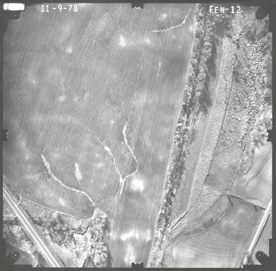
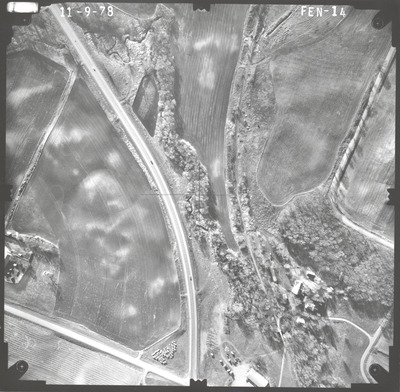
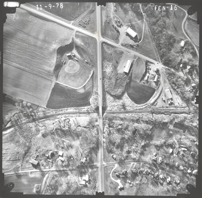
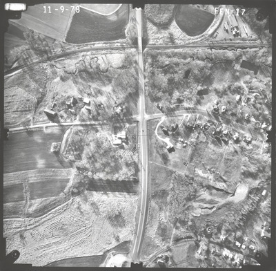
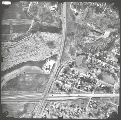
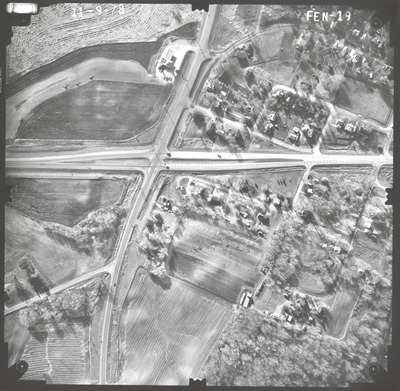
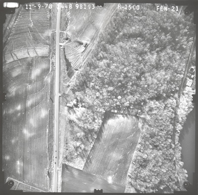
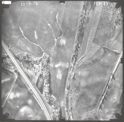
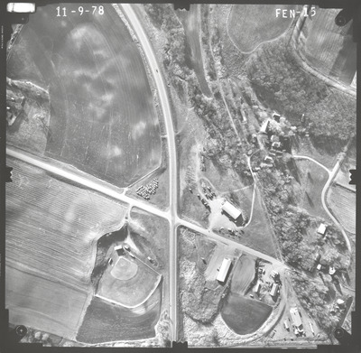
Aerial survey project no. 78F-39 was flown on November 9, 1978. These photos are a verbal scale of 1"=250'. The flight line provides coverage for highway 60 from bridge 5467 over the Chicago and North Western Railway in Waterville.

Printing is not supported at the primary Gallery Thumbnail page. Please first navigate to a specific Image before printing.

Follow

Switch View to List View Slideshow
 
  • FEN-12 by Mark Hurd Aerial Surveys, Inc. Minneapolis, Minnesota

    FEN-12

  • FEN-13 by Mark Hurd Aerial Surveys, Inc. Minneapolis, Minnesota

    FEN-13

  • FEN-14 by Mark Hurd Aerial Surveys, Inc. Minneapolis, Minnesota

    FEN-14

  • FEN-15 by Mark Hurd Aerial Surveys, Inc. Minneapolis, Minnesota

    FEN-15

  • FEN-16 by Mark Hurd Aerial Surveys, Inc. Minneapolis, Minnesota

    FEN-16

  • FEN-17 by Mark Hurd Aerial Surveys, Inc. Minneapolis, Minnesota

    FEN-17

  • FEN-18 by Mark Hurd Aerial Surveys, Inc. Minneapolis, Minnesota

    FEN-18

  • FEN-19 by Mark Hurd Aerial Surveys, Inc. Minneapolis, Minnesota

    FEN-19

  • FEN-20 by Mark Hurd Aerial Surveys, Inc. Minneapolis, Minnesota

    FEN-20

  • FEN-21 by Mark Hurd Aerial Surveys, Inc. Minneapolis, Minnesota

    FEN-21


Search

Advanced Search

  • Notify me via email or RSS

Author Corner

  • All Authors
  • Author FAQ
  • Submit Research

University Resources

  • ARCH: University Archives Digital Collections
  • Library Services
  • Minnesota State University, Mankato
  • Contact Us
Minnesota State University Mankato Minnesota State
 
Elsevier - Digital Commons

Home | About | FAQ | My Account | Accessibility Statement

Privacy Copyright