

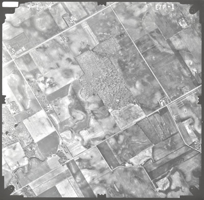
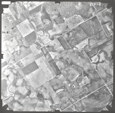
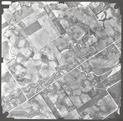
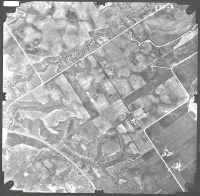
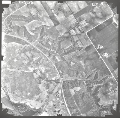
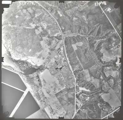
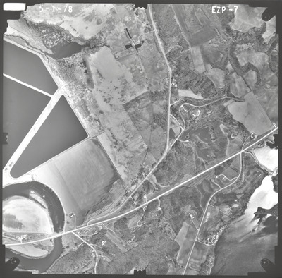
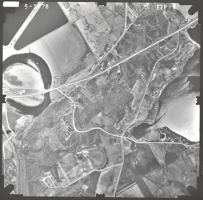
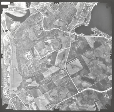
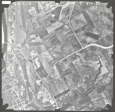
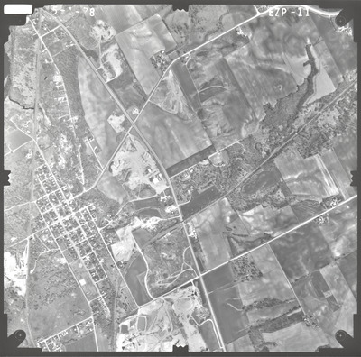
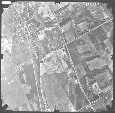
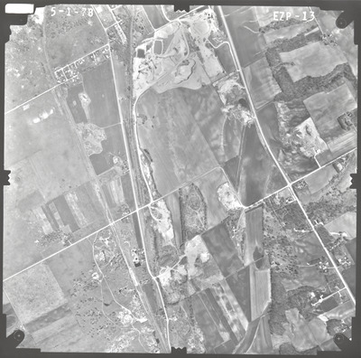
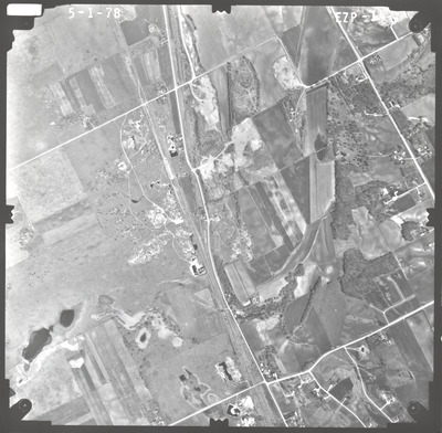
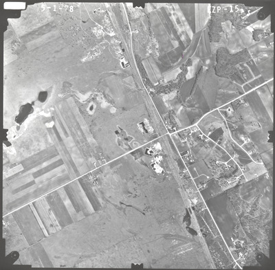
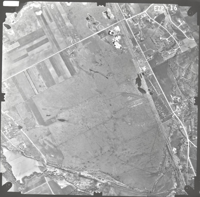
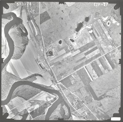
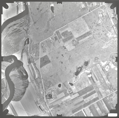
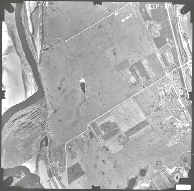
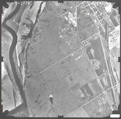
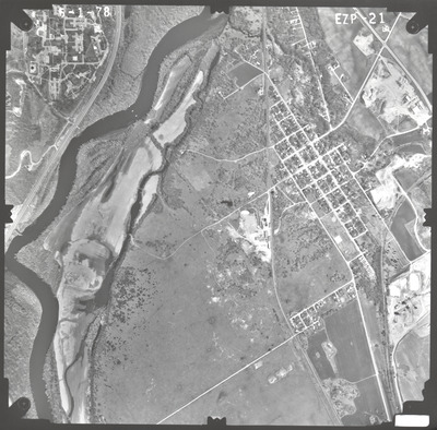
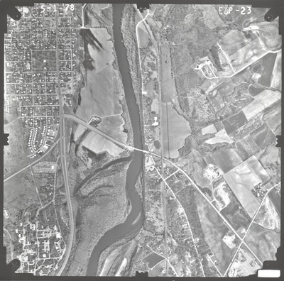
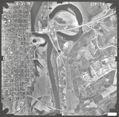
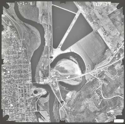
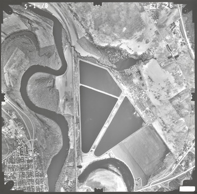
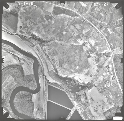
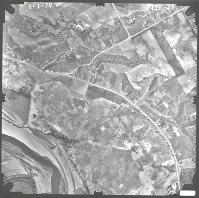
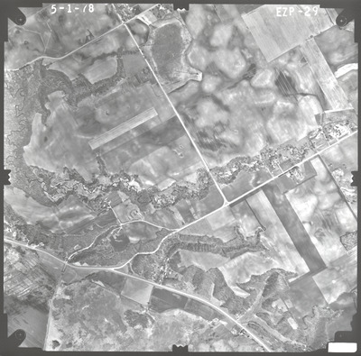
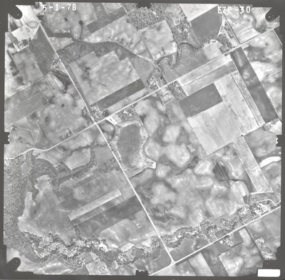
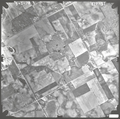
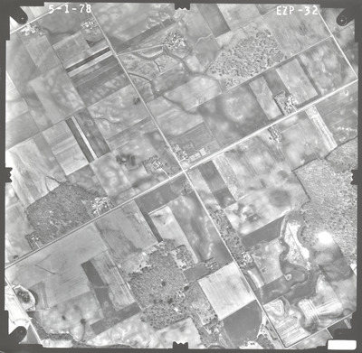
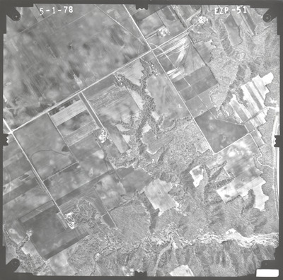
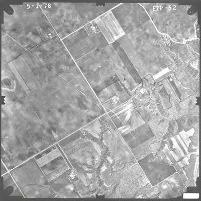
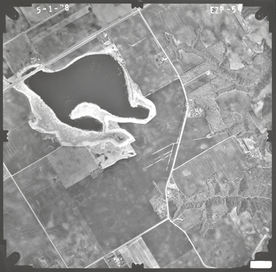
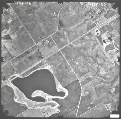
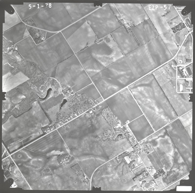
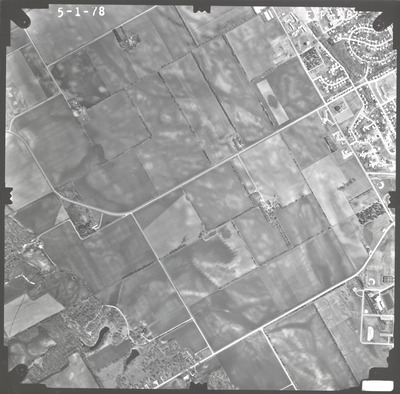
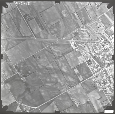
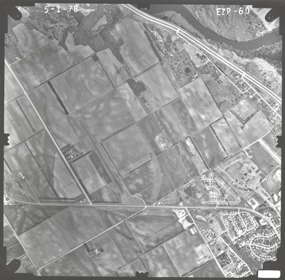
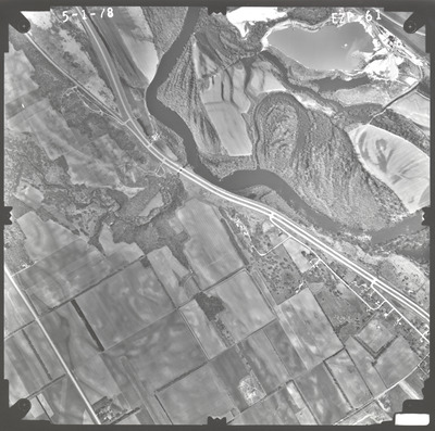
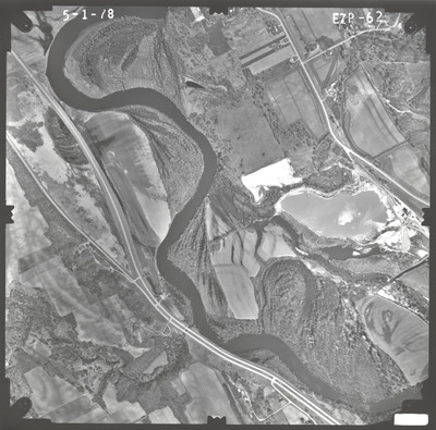
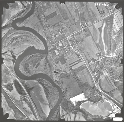
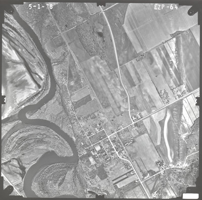
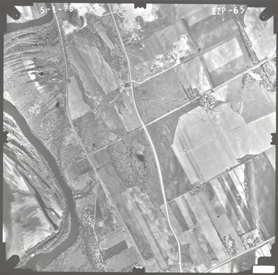
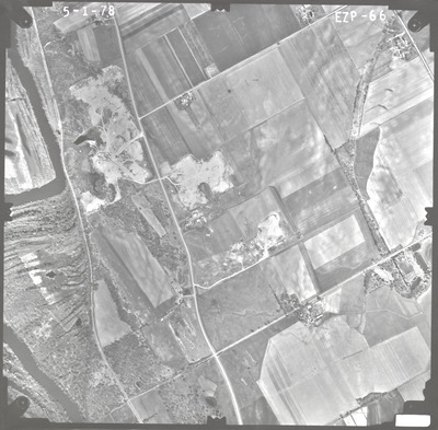
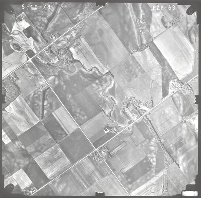
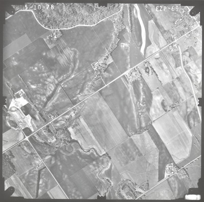
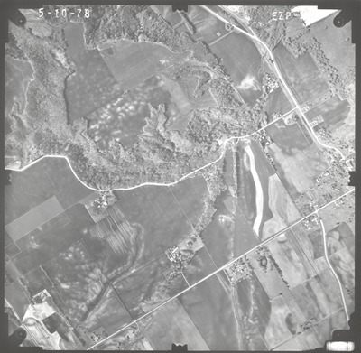
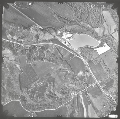
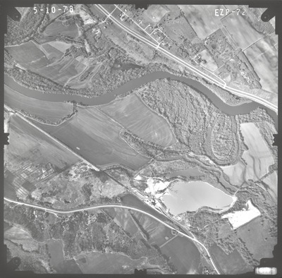
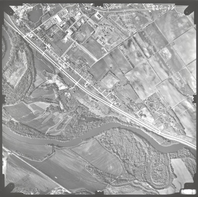
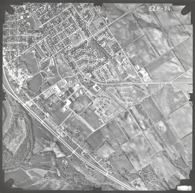
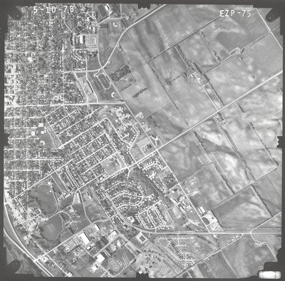
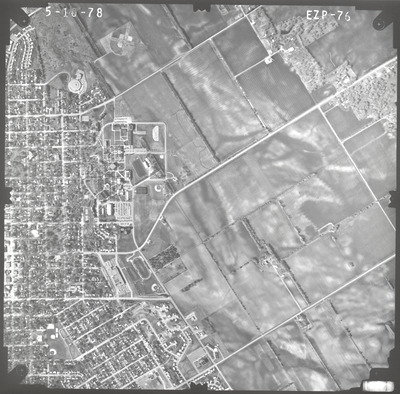
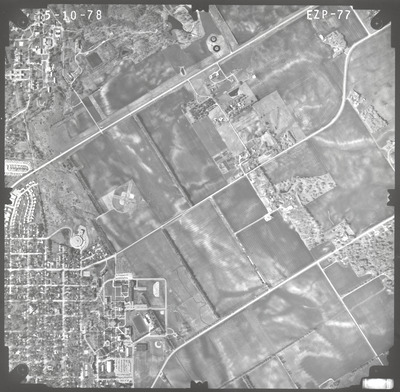
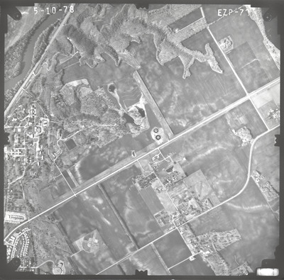
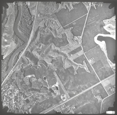
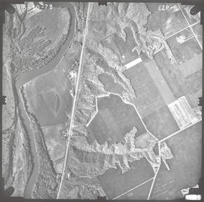
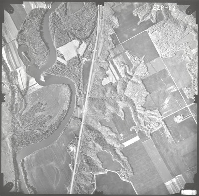
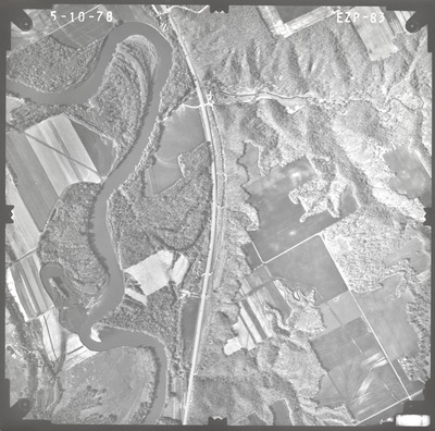
Aerial survey project no. 78S-32 was flown on May 1 and May 10, 1978. These photos are a verbal scale of 1"=1,000'. The flight lines provide coverage for highway 22 and bridge 4770 in St. Peter.
Printing is not supported at the primary Gallery Thumbnail page. Please first navigate to a specific Image before printing.


