• Home
  • Search
  • Browse Collections
  • My Account
  • About
  • DC Network Digital Commons Network™
Skip to main content
Cornerstone: A Collection of Scholarly and Creative Works for Minnesota State University, Mankato
  • Home
  • About
  • FAQ
  • My Account

Home > MAPS > MAPS-MNDOT7-AIR-PHOTOS > MNDOT7-1978-78S-36

1978 Aerial Survey Project No. 78S-36 (EXM)

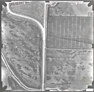
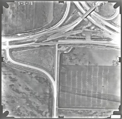
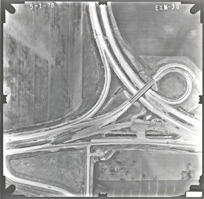
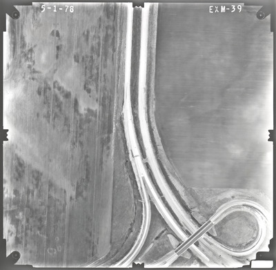
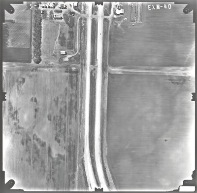
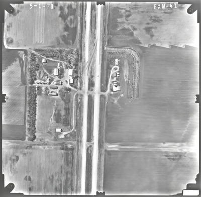
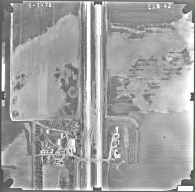
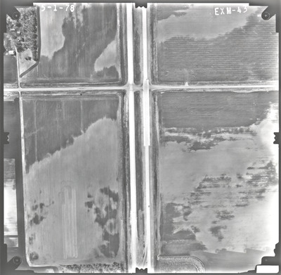
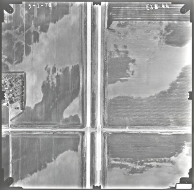
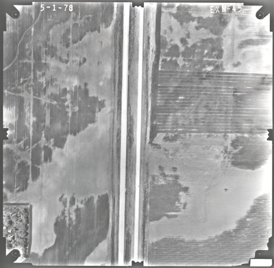
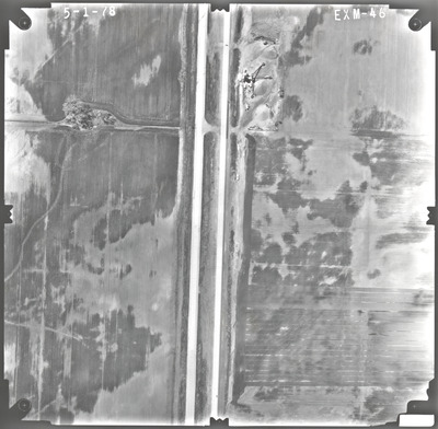
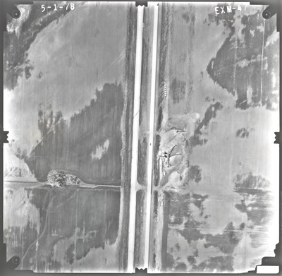
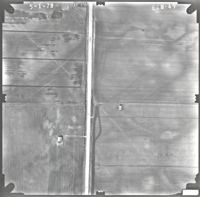
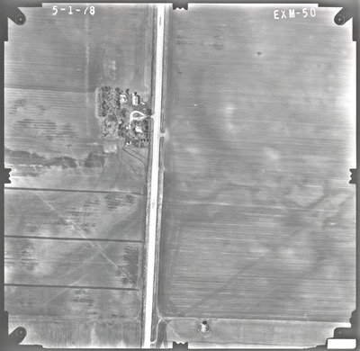
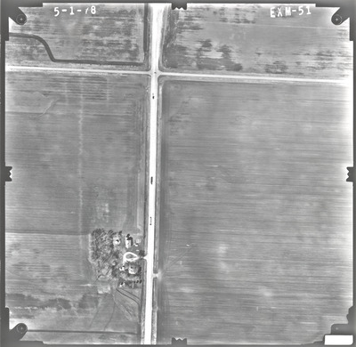
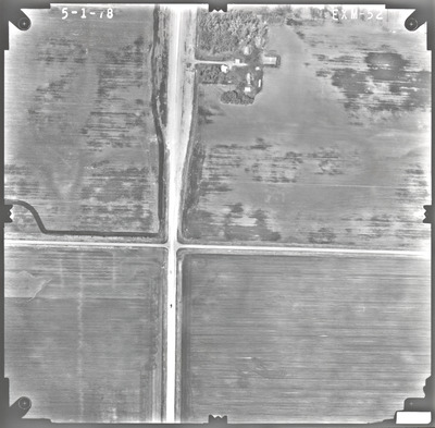
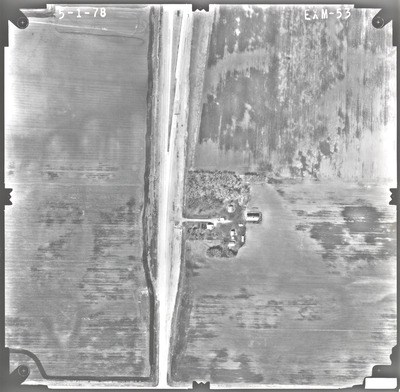
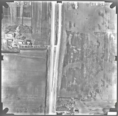
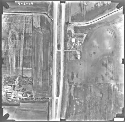
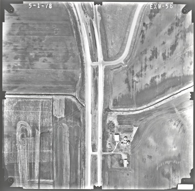
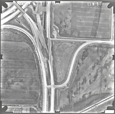
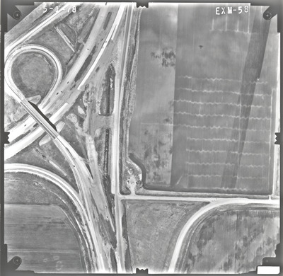
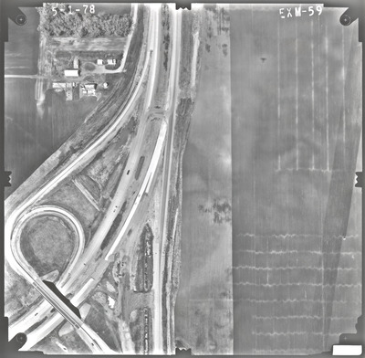
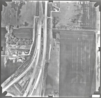
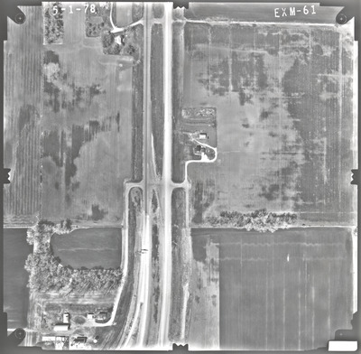
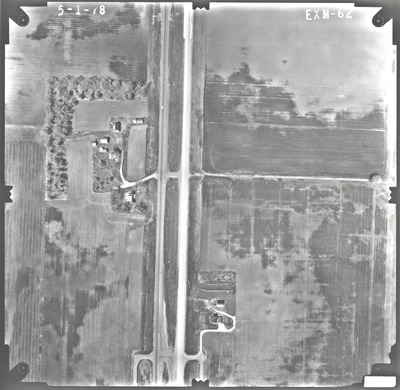
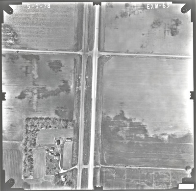
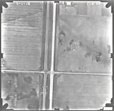
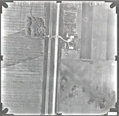
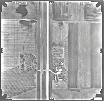
Aerial survey project no. 78S-36 was flown on May 1, 1978. These photos are a verbal scale of 1"=250'. The flight lines provide coverage for the junction of highways 15 and 60 south of Madelia.

Printing is not supported at the primary Gallery Thumbnail page. Please first navigate to a specific Image before printing.

Follow

Switch View to List View Slideshow
 
  • EXM-57 by Mark Hurd Aerial Surveys, Inc. Minneapolis, Minnesota

    EXM-57

  • EXM-58 by Mark Hurd Aerial Surveys, Inc. Minneapolis, Minnesota

    EXM-58

  • EXM-59 by Mark Hurd Aerial Surveys, Inc. Minneapolis, Minnesota

    EXM-59

  • EXM-60 by Mark Hurd Aerial Surveys, Inc. Minneapolis, Minnesota

    EXM-60

  • EXM-61 by Mark Hurd Aerial Surveys, Inc. Minneapolis, Minnesota

    EXM-61

  • EXM-62 by Mark Hurd Aerial Surveys, Inc. Minneapolis, Minnesota

    EXM-62

  • EXM-63 by Mark Hurd Aerial Surveys, Inc. Minneapolis, Minnesota

    EXM-63

  • EXM-64 by Mark Hurd Aerial Surveys, Inc. Minneapolis, Minnesota

    EXM-64

  • EXM-65 by Mark Hurd Aerial Surveys, Inc. Minneapolis, Minnesota

    EXM-65

  • EXM-66 by Mark Hurd Aerial Surveys, Inc. Minneapolis, Minnesota

    EXM-66

 
  • 1
  • 2


Search

Advanced Search

  • Notify me via email or RSS

Author Corner

  • All Authors
  • Author FAQ
  • Submit Research

University Resources

  • ARCH: University Archives Digital Collections
  • Library Services
  • Minnesota State University, Mankato
  • Contact Us
Minnesota State University Mankato Minnesota State
 
Elsevier - Digital Commons

Home | About | FAQ | My Account | Accessibility Statement

Privacy Copyright