• Home
  • Search
  • Browse Collections
  • My Account
  • About
  • DC Network Digital Commons Network™
Skip to main content
Cornerstone: A Collection of Scholarly and Creative Works for Minnesota State University, Mankato
  • Home
  • About
  • FAQ
  • My Account

Home > MAPS > MAPS-MNDOT7-AIR-PHOTOS > MNDOT7-1979-79F-4

1979 Aerial Survey Project No. 79F-04 (FOD)

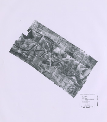
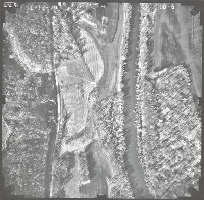
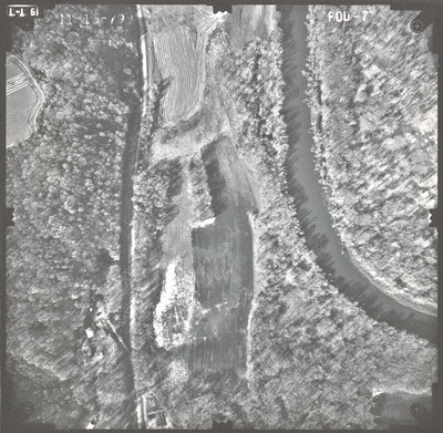
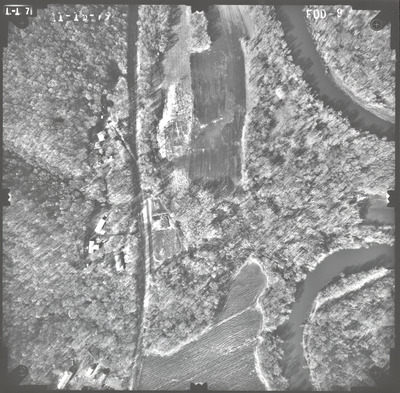
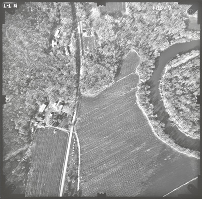
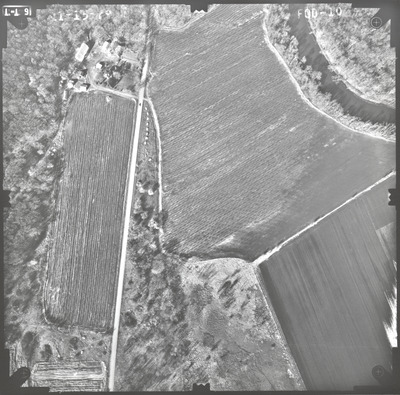
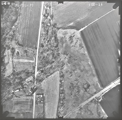
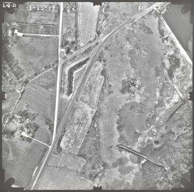
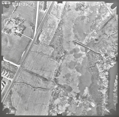
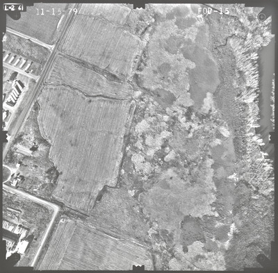
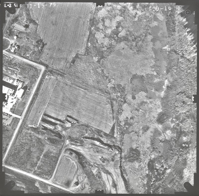
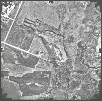
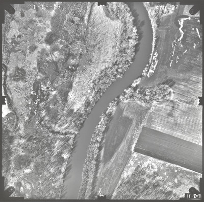
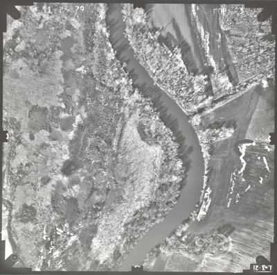
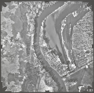
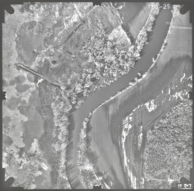
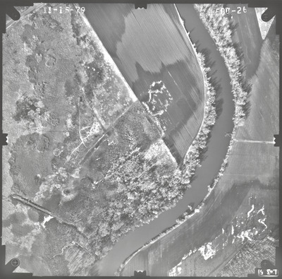
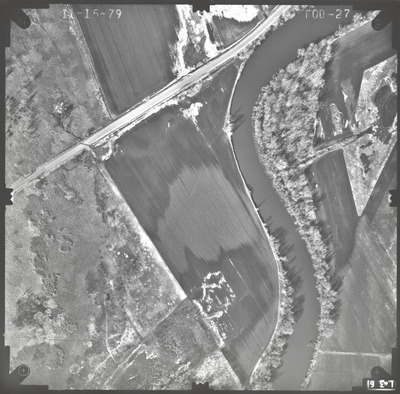
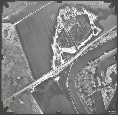
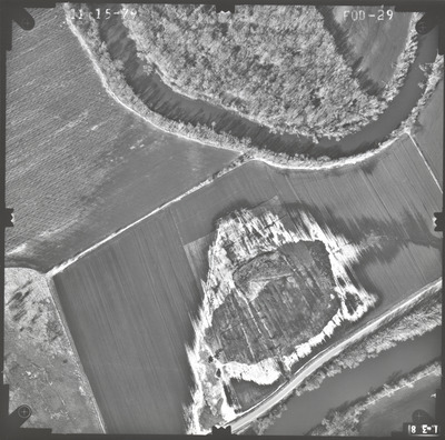
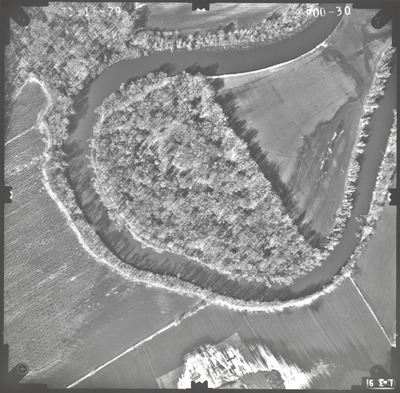
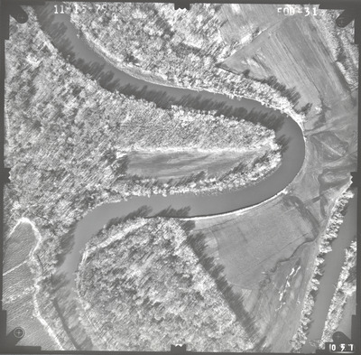
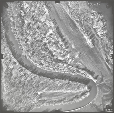
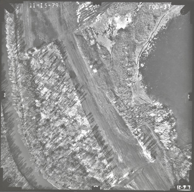
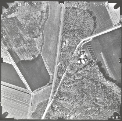
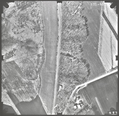
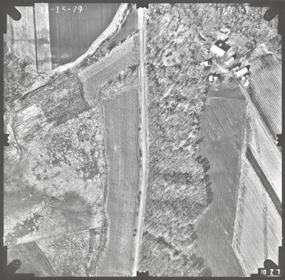
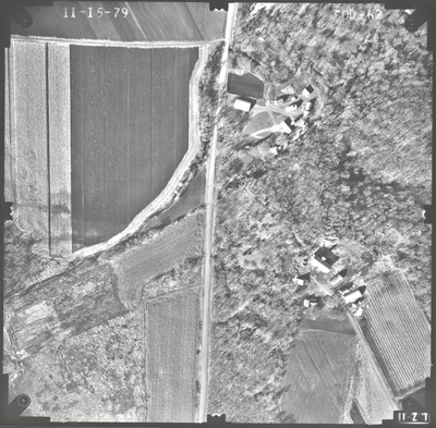
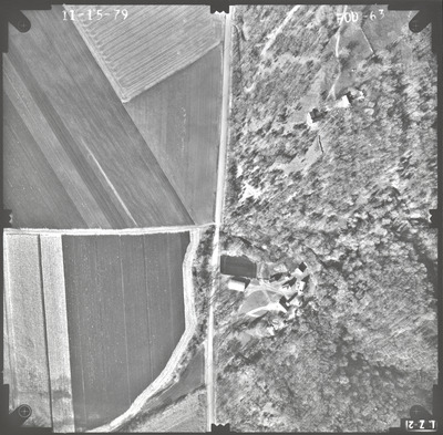
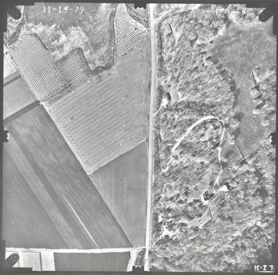
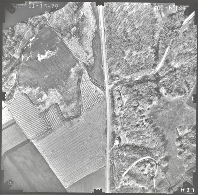
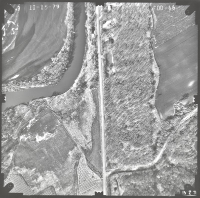
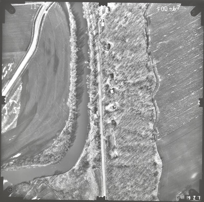
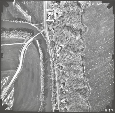
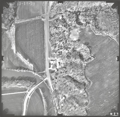
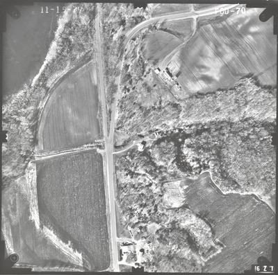
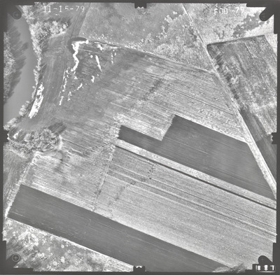
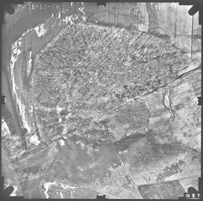
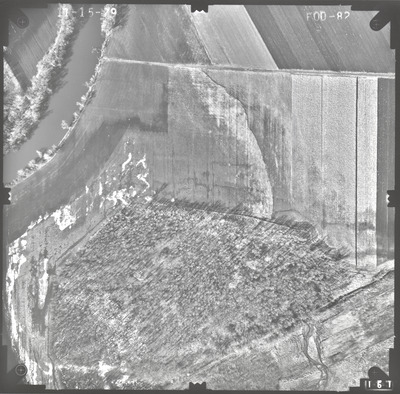
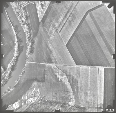
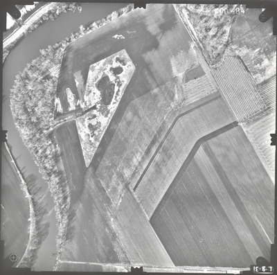
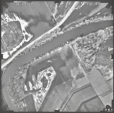
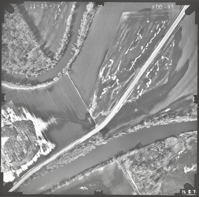
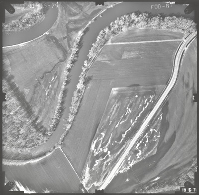
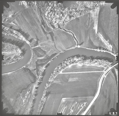
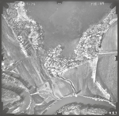
Aerial survey project no. 79F-4 was flown on November 15, 1979. These photos are a verbal scale of 1"250'. The flight lines provide coverage for highway 14 and the proposed new crossing at the Minnesota River north of New Ulm. ASP No. 79F-4 includes index sheet 1.

Printing is not supported at the primary Gallery Thumbnail page. Please first navigate to a specific Image before printing.

Follow

Switch View to List View Slideshow
 
  • FOD-82 by Mark Hurd Aerial Surveys, Inc. Minneapolis, Minnesota

    FOD-82

  • FOD-83 by Mark Hurd Aerial Surveys, Inc. Minneapolis, Minnesota

    FOD-83

  • FOD-84 by Mark Hurd Aerial Surveys, Inc. Minneapolis, Minnesota

    FOD-84

  • FOD-85 by Mark Hurd Aerial Surveys, Inc. Minneapolis, Minnesota

    FOD-85

  • FOD-86 by Mark Hurd Aerial Surveys, Inc. Minneapolis, Minnesota

    FOD-86

  • FOD-87 by Mark Hurd Aerial Surveys, Inc. Minneapolis, Minnesota

    FOD-87

  • FOD-88 by Mark Hurd Aerial Surveys, Inc. Minneapolis, Minnesota

    FOD-88

  • FOD-89 by Mark Hurd Aerial Surveys, Inc. Minneapolis, Minnesota

    FOD-89

 
  • 1
  • 2
  • 3


Search

Advanced Search

  • Notify me via email or RSS

Author Corner

  • All Authors
  • Author FAQ
  • Submit Research

University Resources

  • Digital Exhibits
  • ARCH: University Archives Digital Collections
  • Library Services
  • Minnesota State University, Mankato
  • Contact Us
Minnesota State University Mankato Minnesota State
 
Elsevier - Digital Commons

Home | About | FAQ | My Account | Accessibility Statement

Privacy Copyright