• Home
  • Search
  • Browse Collections
  • My Account
  • About
  • DC Network Digital Commons Network™
Skip to main content
Cornerstone: A Collection of Scholarly and Creative Works for Minnesota State University, Mankato
  • Home
  • About
  • FAQ
  • My Account

Home > MAPS > MAPS-MNDOT7-AIR-PHOTOS > MNDOT7-1979-79F-5

1979 Aerial Survey Project No. 79F-05 (FNC-CN)

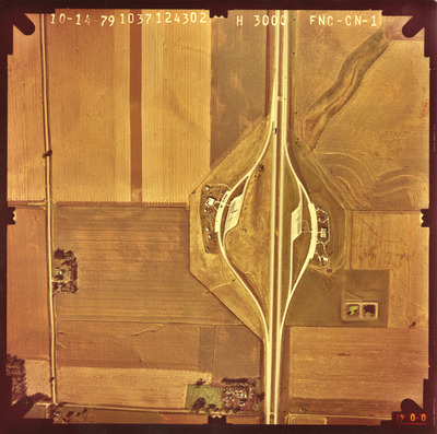
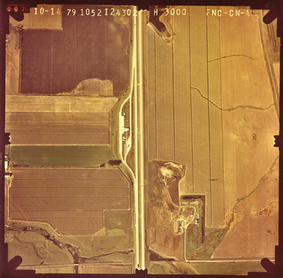
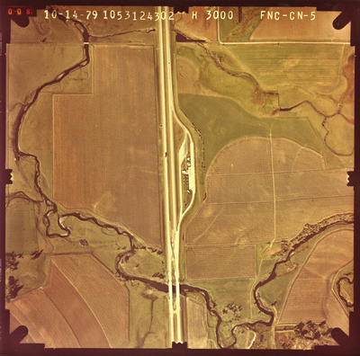
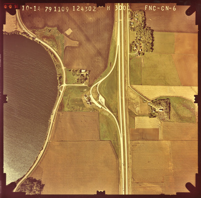
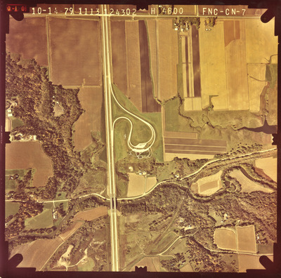
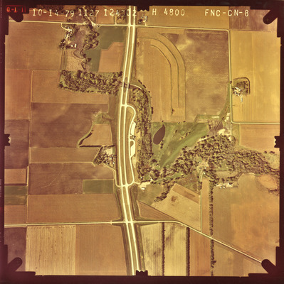
Aerial survey project no. 79F-5 was flown on October 14, 1979. These photos are a verbal scale of 1"=500' and 1"=800'. The flight lines provide coverage for rest areas along I-90 and highway 60 east of St. James.

Printing is not supported at the primary Gallery Thumbnail page. Please first navigate to a specific Image before printing.

Follow

Switch View to List View Slideshow
 
  • FNC-CN-1 by Mark Hurd Aerial Surveys, Inc. Minneapolis, Minnesota

    FNC-CN-1

  • FNC-CN-4 by Mark Hurd Aerial Surveys, Inc. Minneapolis, Minnesota

    FNC-CN-4

  • FNC-CN-5 by Mark Hurd Aerial Surveys, Inc. Minneapolis, Minnesota

    FNC-CN-5

  • FNC-CN-6 by Mark Hurd Aerial Surveys, Inc. Minneapolis, Minnesota

    FNC-CN-6

  • FNC-CN-7 by Mark Hurd Aerial Surveys, Inc. Minneapolis, Minnesota

    FNC-CN-7

  • FNC-CN-8 by Mark Hurd Aerial Surveys, Inc. Minneapolis, Minnesota

    FNC-CN-8


Search

Advanced Search

  • Notify me via email or RSS

Author Corner

  • All Authors
  • Author FAQ
  • Submit Research

University Resources

  • ARCH: University Archives Digital Collections
  • Library Services
  • Minnesota State University, Mankato
  • Contact Us
Minnesota State University Mankato Minnesota State
 
Elsevier - Digital Commons

Home | About | FAQ | My Account | Accessibility Statement

Privacy Copyright