

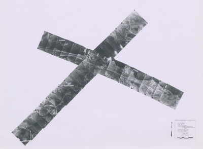
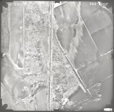
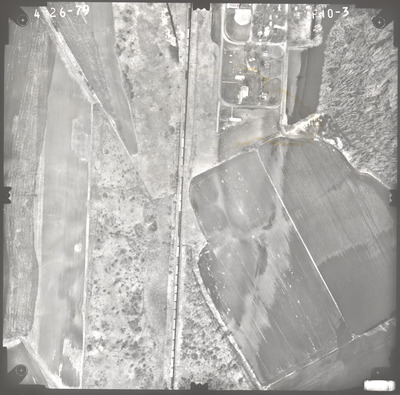
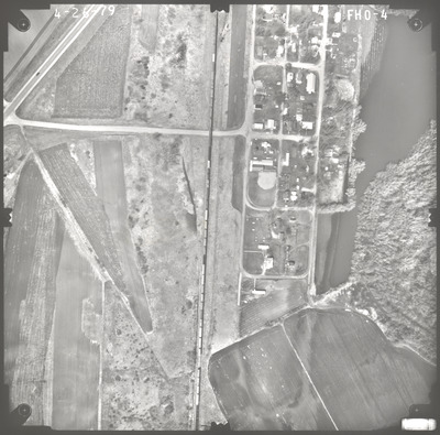
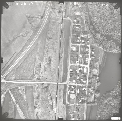
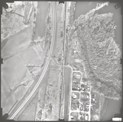
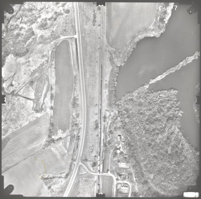
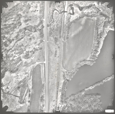
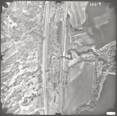
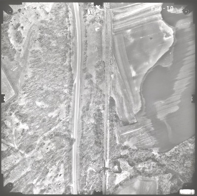
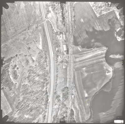
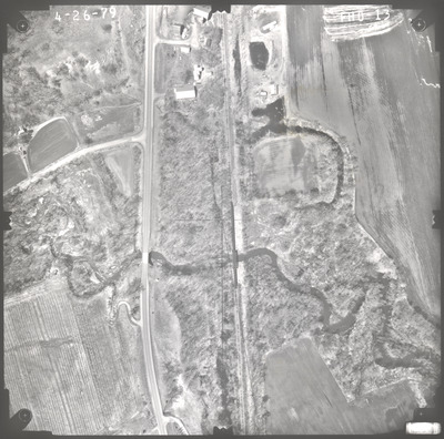
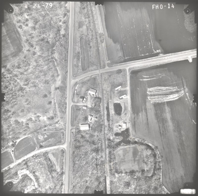
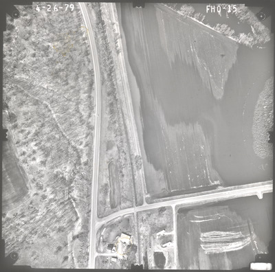
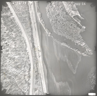
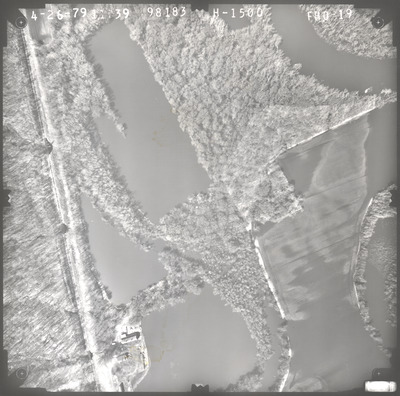
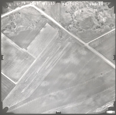
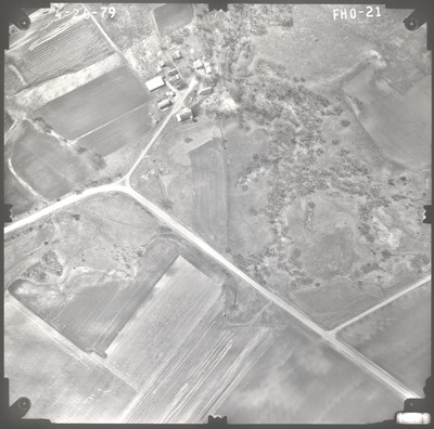
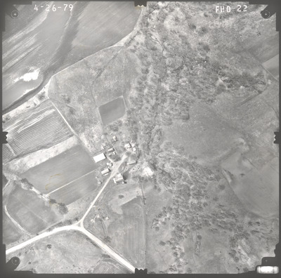
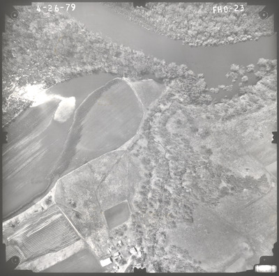
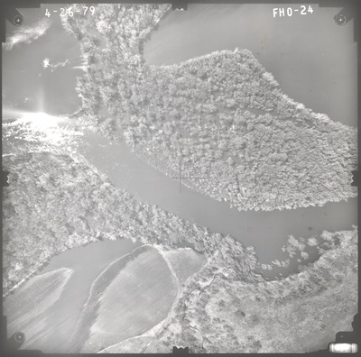
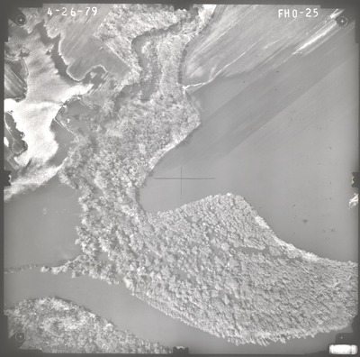
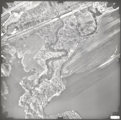
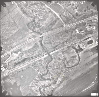
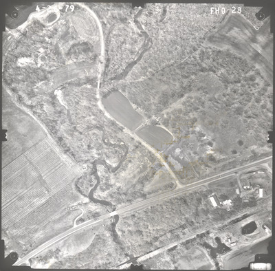
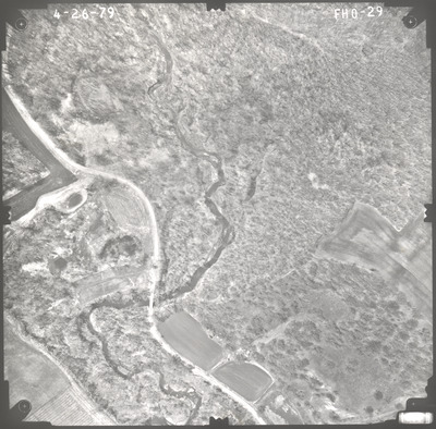
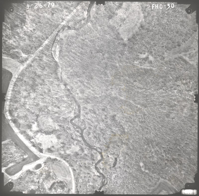
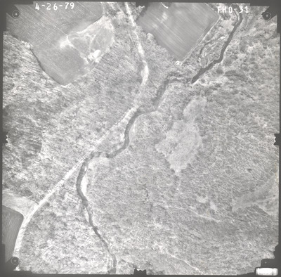
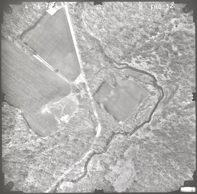
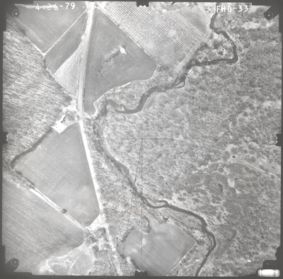
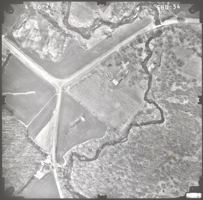
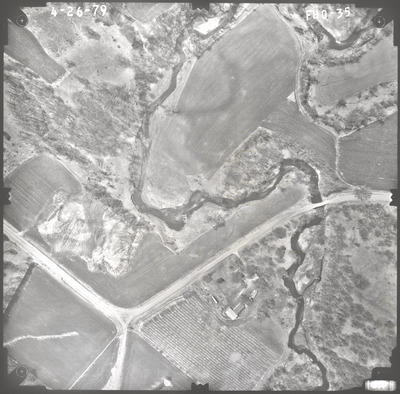
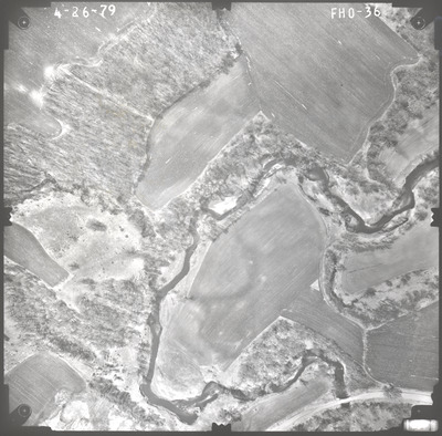
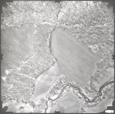
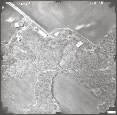
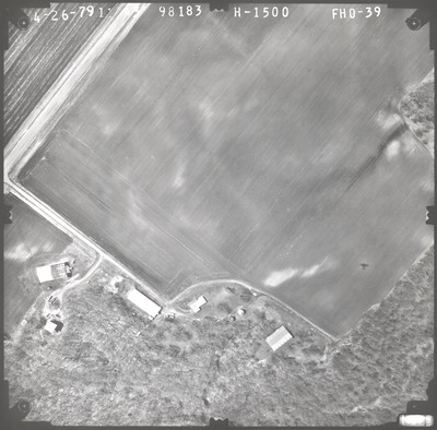
Aerial survey project no. 79S-12 was flown on April 26, 1979. These photos are a verbal scale of 1"=250'. The flight lines provide coverage for highway 68 and bridge 5435 over the Little Cottonwood River northwest of Cambria. ASP No. 79S-12 includes index sheet 1.


