

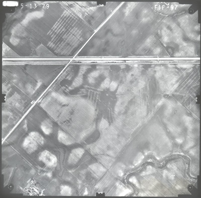
Preview
Flight Code
FIF
Date Flown
Spring 5-13-1979
Aerial Survey Project No. (A.S.P. No.)
79S-15
County
Nobles
Trunk Highway (T.H.)
60
Location
Worthington to Windom and Butterfield to St. James
Center Latitude
43°40'14.03"N
Center Longitude
95°30'30.80"W
State Project No.
8308, 1703, 3204, 5306
Physical Format
Black and White Physical Aerial Photograph
Dimensions
9 x 9
Item Type
Still Image
Collection Name
Minnesota Department of Transportation District 7 Air Photo Collection, 1957-2006
Contributing Organization
Dr. Mary T. Dooley Map Library, Memorial Library, Minnesota State University, Mankato, P.O. Box 8419, Mankato, MN 56002-8419
Contact Information
Dr. Mary T. Dooley Map Library, Memorial Library, Minnesota State University, Mankato, P.O. Box 8419, Mankato, MN 56002-8419
Creative Commons License

This work is licensed under a Creative Commons Attribution-NonCommercial 4.0 International License
Scanning Center
Dr. Mary T. Dooley Map Library, Memorial Library, Minnesota State University, Mankato, P.O. Box 8419, Mankato, MN 56002-8419
Object File Name
MnDOT_1979_79S-15_FIF-97.tif
Date Digital
2022-10-14
Item Digital Format
Image/tiff
Master File Format
Image/tiff
Master File Size
89887500
Master File Bit Depth
24
Master File Resolution
800 dpi
Master File Width
7488
Master File Height
7385
Master File Hardware
Epson Expression 10000XL
Master File Software
VueScan
Master File System
Windows 10
Master File Checksum
814f803688b57bf3a9d0917cfe89b147
Keywords
mndot, air photos, aerial photography, 1979, stream, railroad, field tiling

