

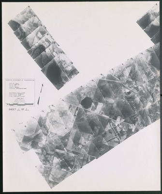
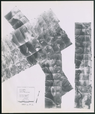
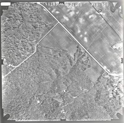
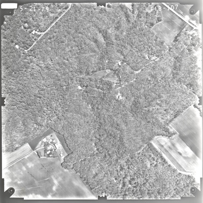
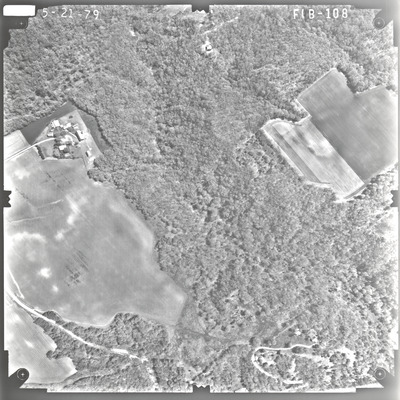
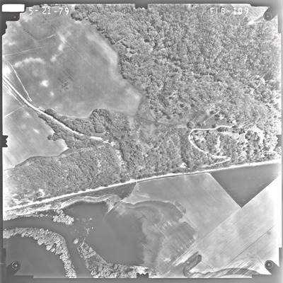
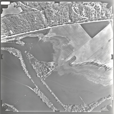
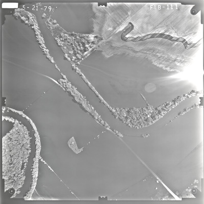
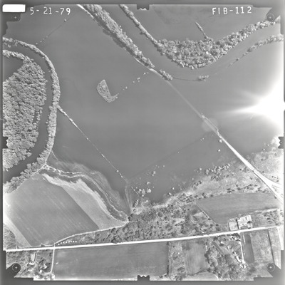
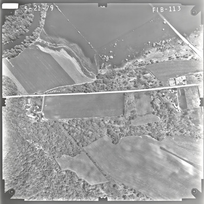
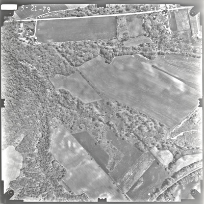
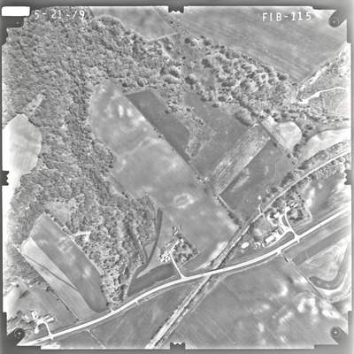
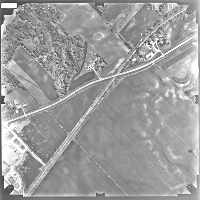
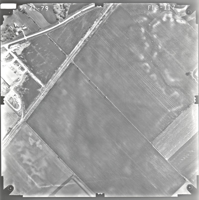
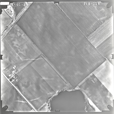
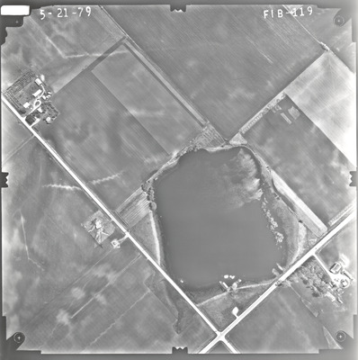
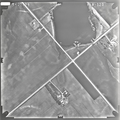
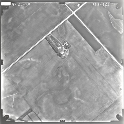
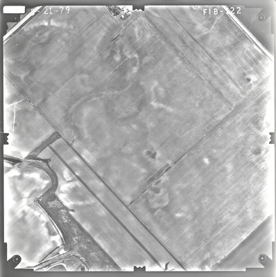
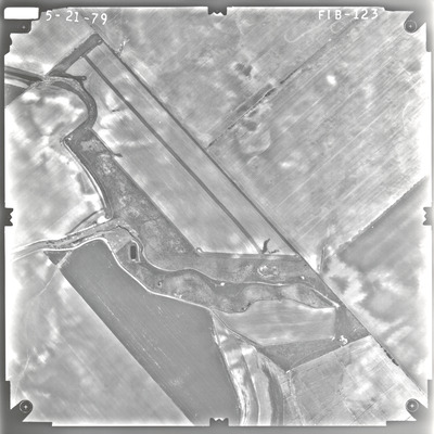
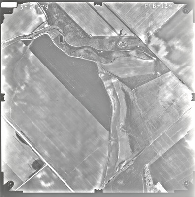
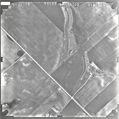
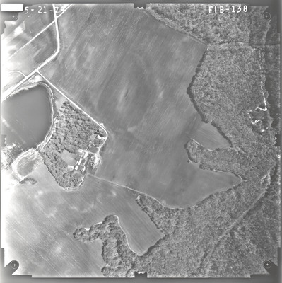
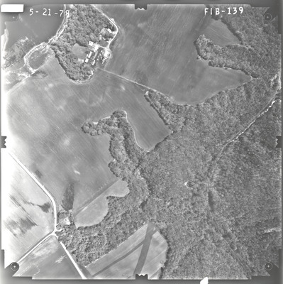
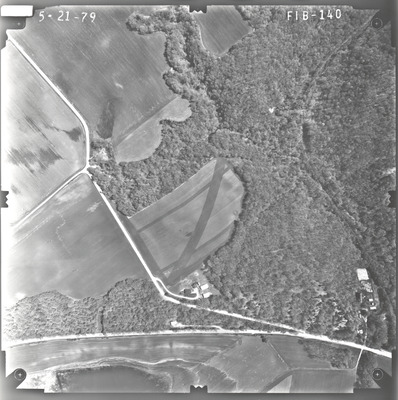
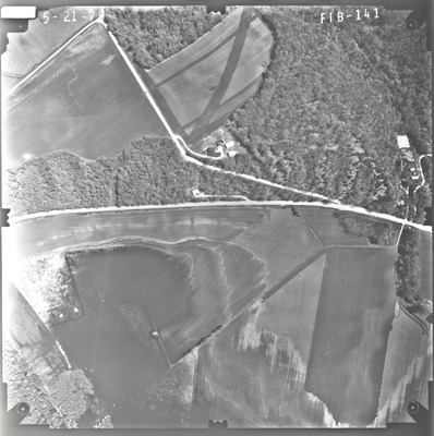
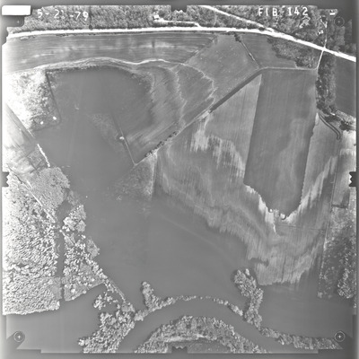
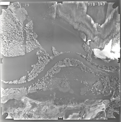
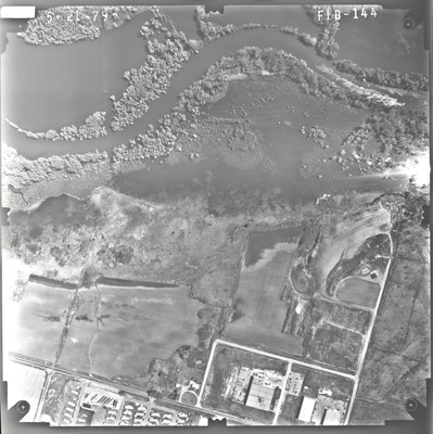
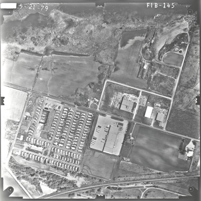
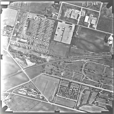
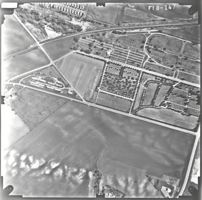
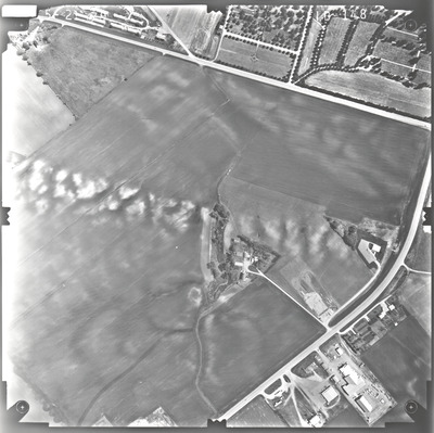
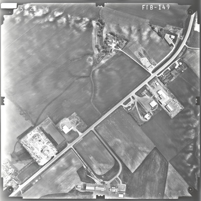
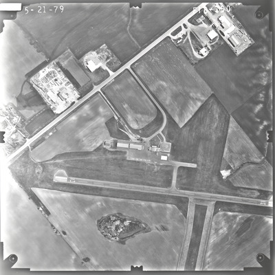
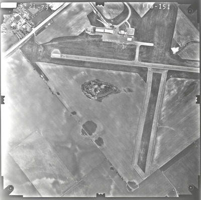
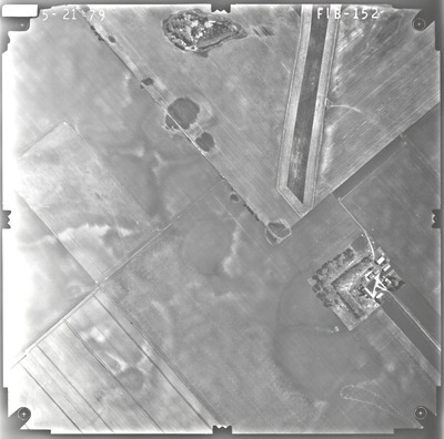
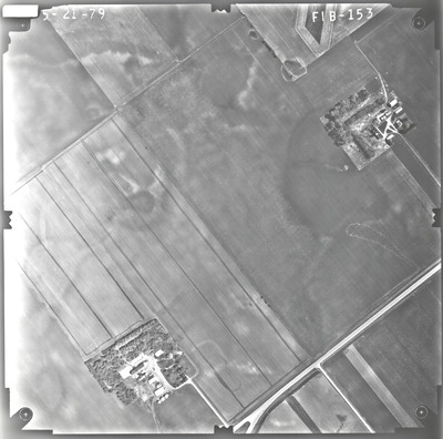
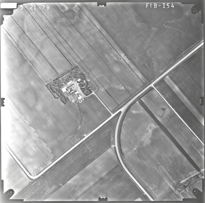
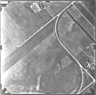
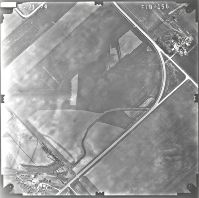
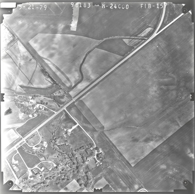
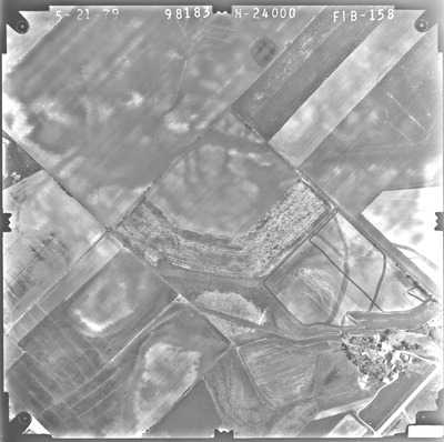
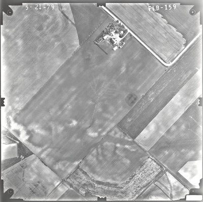
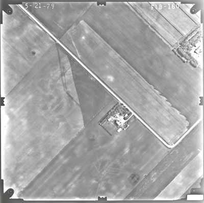
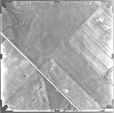
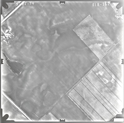
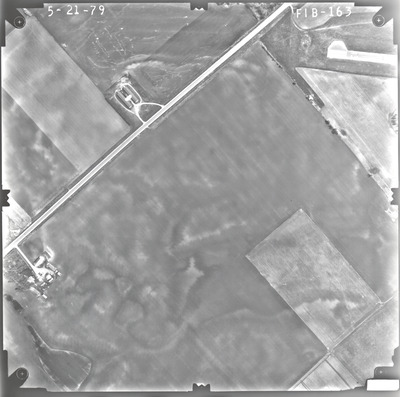
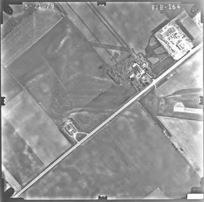
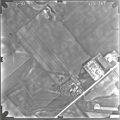
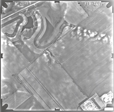
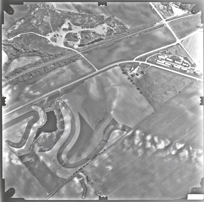
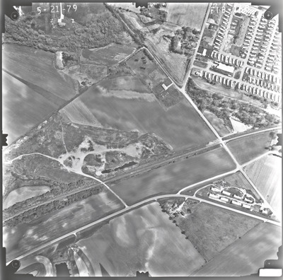
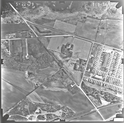
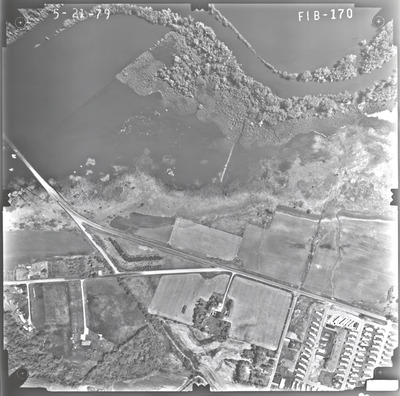
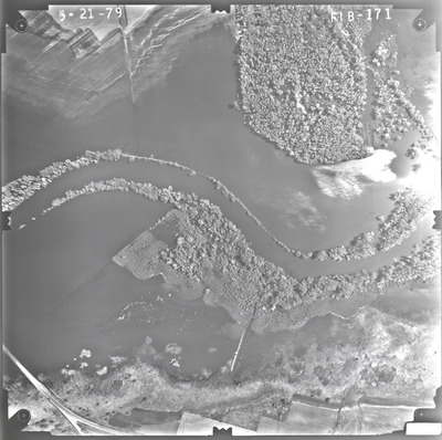
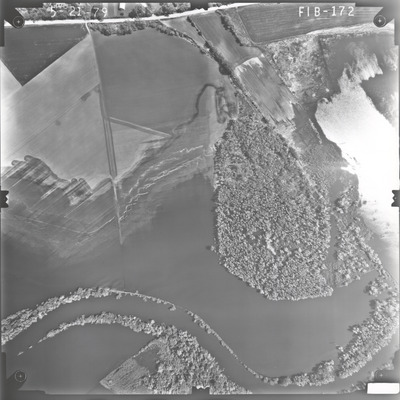
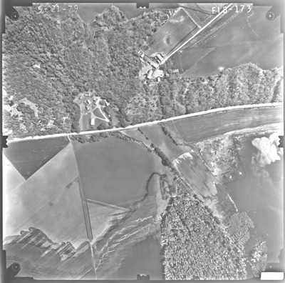
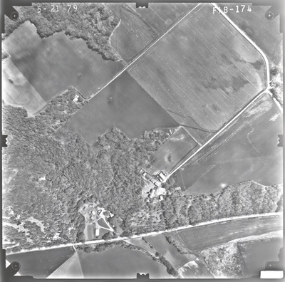
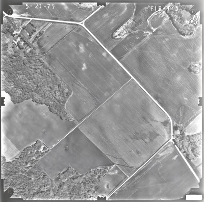
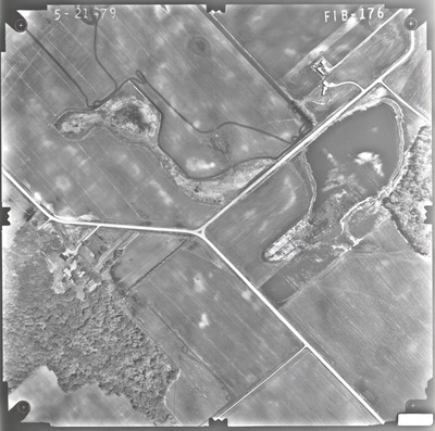
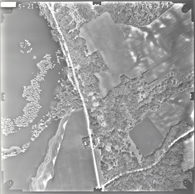
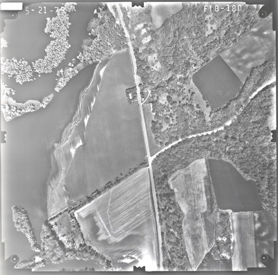
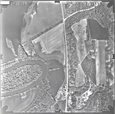
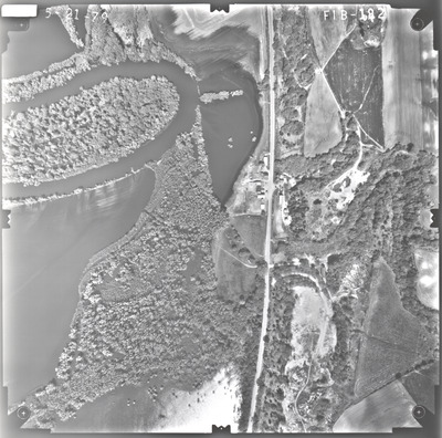
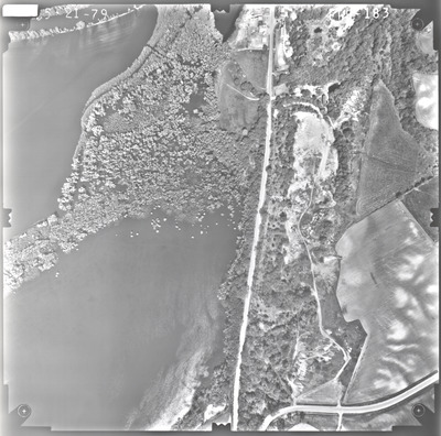
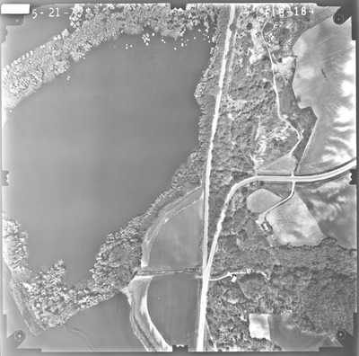
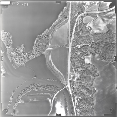
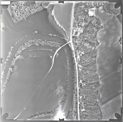
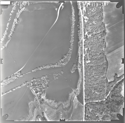
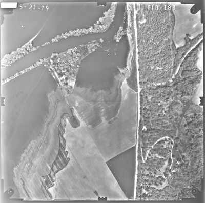
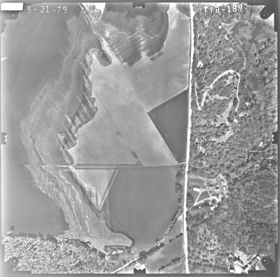
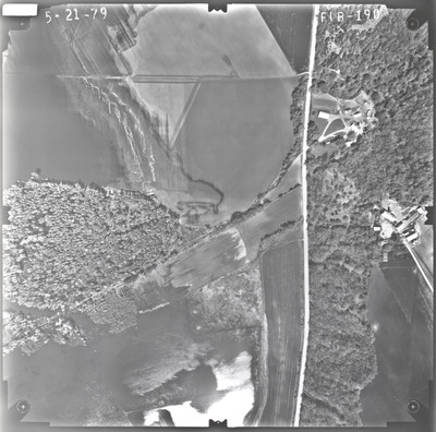
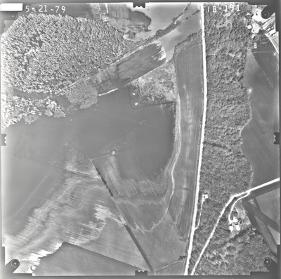
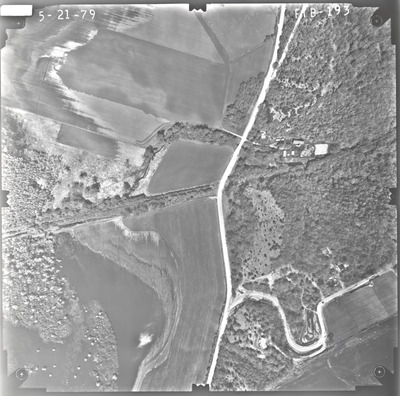
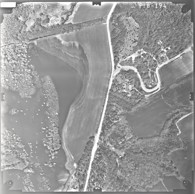
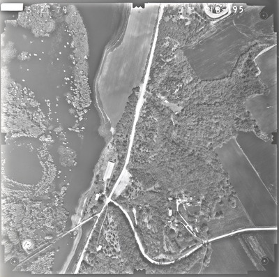
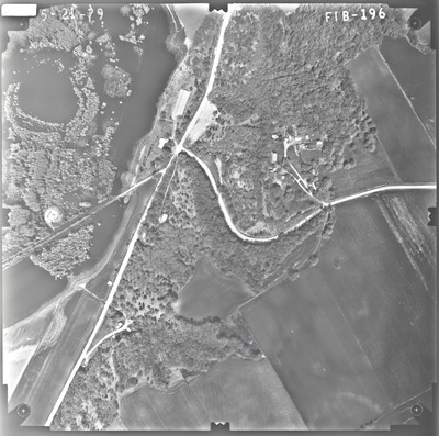
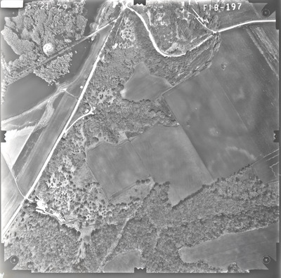
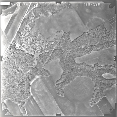
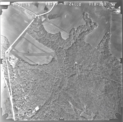
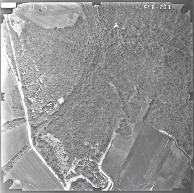
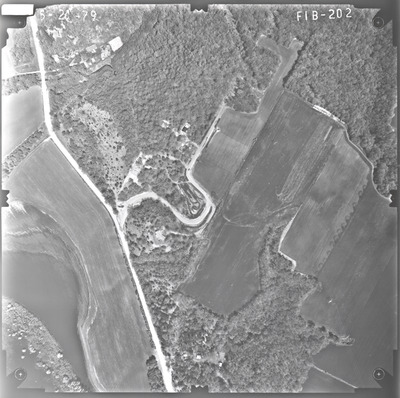
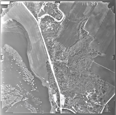
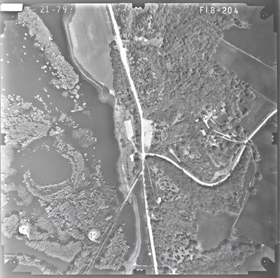
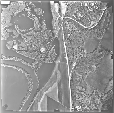
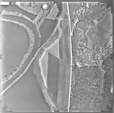
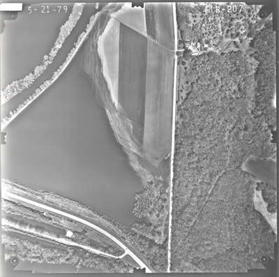
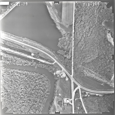
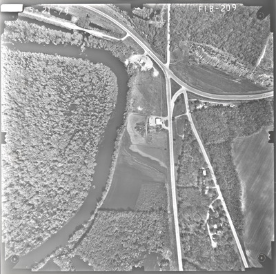
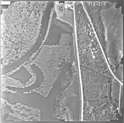
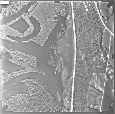
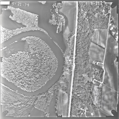
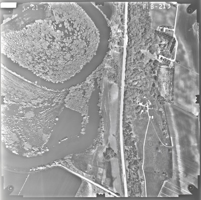
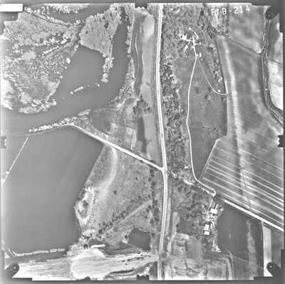
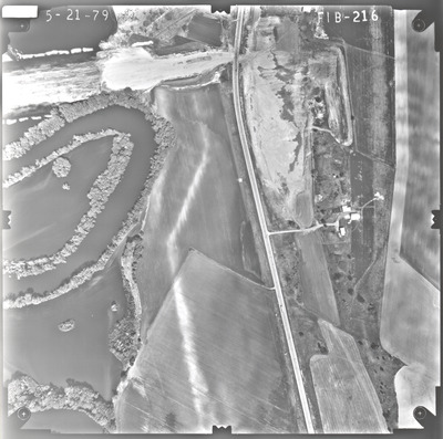
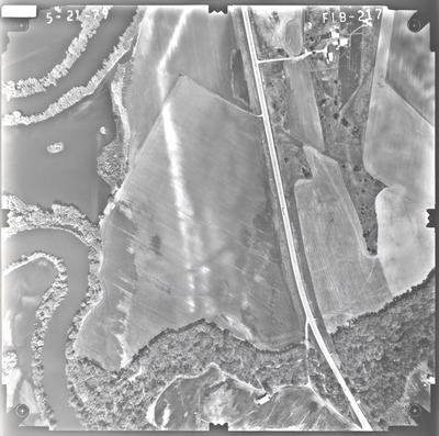
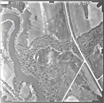
Aerial survey project no. 79S-7 was flown on May 21, 1979. These photos are a verbal scale of 1"=400'. The flight lines provide coverage for highway 14 and the New Ulm bypass. ASP No. 79S-7 includes index sheets 1 and 2.
Printing is not supported at the primary Gallery Thumbnail page. Please first navigate to a specific Image before printing.


