

Preview
Flight Code
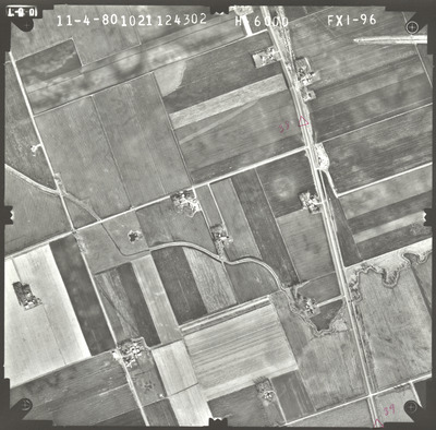
FXI
Date Flown
Fall 11-4-1980
Aerial Survey Project No. (A.S.P. No.)
80F-24
County
Martin
Trunk Highway (T.H.)
Chicago and North Western Transportation Railway
Location
Hanska to the Iowa State Line S. of Sherburn
Center Latitude
43°32'33.09"N
Center Longitude
94°47'2.77"W
Scale
1''=1000'
Flight Height
6000
Notes
Note on front reads "39" with a corresponding triangle.
Work Order No.
8
Agreement No.
60056
State Project No.
8820-03
Lens Serial Number
124302
Focal Length
152.963 mm
Physical Format
Black and White Physical Aerial Photograph
Dimensions
9 x 9
Item Type
Still Image
Collection Name
Minnesota Department of Transportation District 7 Air Photo Collection, 1957-2006
Contributing Organization
Dr. Mary T. Dooley Map Library, Memorial Library, Minnesota State University, Mankato, P.O. Box 8419, Mankato, MN 56002-8419
Contact Information
Dr. Mary T. Dooley Map Library, Memorial Library, Minnesota State University, Mankato, P.O. Box 8419, Mankato, MN 56002-8419
Creative Commons License

This work is licensed under a Creative Commons Attribution-NonCommercial 4.0 International License
Scanning Center
Dr. Mary T. Dooley Map Library, Memorial Library, Minnesota State University, Mankato, P.O. Box 8419, Mankato, MN 56002-8419
Object File Name
MnDOT_1980_80F-24_FXI-96.tif
Date Digital
2022-10-25
Item Digital Format
Image/tiff
Master File Format
Image/tiff
Master File Size
102157744
Master File Bit Depth
24
Master File Resolution
800 dpi
Master File Width
7520
Master File Height
7406
Master File Hardware
Epson Expression 10000XL
Master File Software
VueScan
Master File System
Windows 10
Master File Checksum
bffd75c6acc8b4335d5cb3b1f99d7acc
Keywords
mndot, air photos, aerial photography, 1980, pond, stream, railroad, field tiling

