

Preview
Flight Code
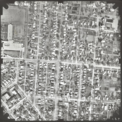
GBA
Date Flown
Spring 4-2-1981
Aerial Survey Project No. (A.S.P. No.)
81S-32
County
Nobles
Trunk Highway (T.H.)
59
Location
Worthington to Fulda
Center Latitude
43°37'39.43"N
Center Longitude
95°35'36.30"W
Scale
1''=250'
Flight Height
1500
Work Order No.
49
Agreement No.
60056
State Project No.
5304, 5104
Lens Serial Number
118991
Focal Length
153.115 mm
Physical Format
Black and White Physical Aerial Photograph
Dimensions
9 x 9
Item Type
Still Image
Collection Name
Minnesota Department of Transportation District 7 Air Photo Collection, 1957-2006
Contributing Organization
Dr. Mary T. Dooley Map Library, Memorial Library, Minnesota State University, Mankato, P.O. Box 8419, Mankato, MN 56002-8419
Contact Information
Dr. Mary T. Dooley Map Library, Memorial Library, Minnesota State University, Mankato, P.O. Box 8419, Mankato, MN 56002-8419
Creative Commons License

This work is licensed under a Creative Commons Attribution-NonCommercial 4.0 International License
Scanning Center
Dr. Mary T. Dooley Map Library, Memorial Library, Minnesota State University, Mankato, P.O. Box 8419, Mankato, MN 56002-8419
Object File Name
MnDOT_1981_81S-32_GBA-2.tif
Date Digital
2023-01-17
Item Digital Format
Image/tiff
Master File Format
Image/tiff
Master File Size
111626546
Master File Bit Depth
24
Master File Resolution
800 dpi
Master File Width
7384
Master File Height
7417
Master File Hardware
Epson Expression 10000XL
Master File Software
VueScan
Master File System
Windows 10
Master File Checksum
3d18f7a7783d55b84ab8d0d58d1d2308
Keywords
mndot, air photos, aerial photography, 1981, worthington

