

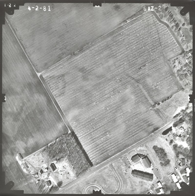
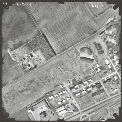
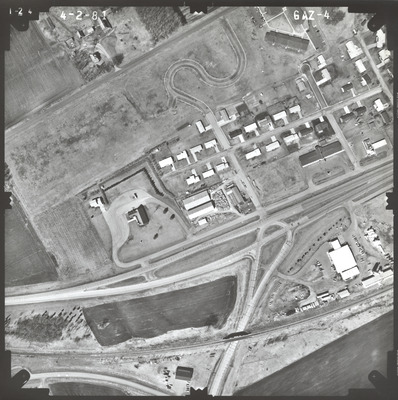
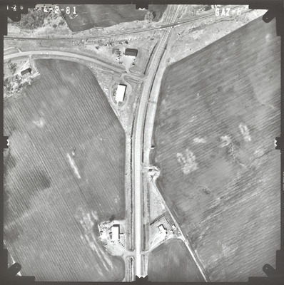
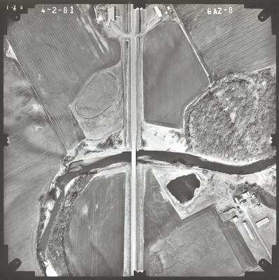
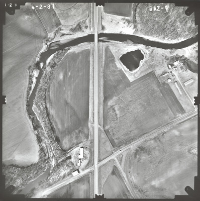
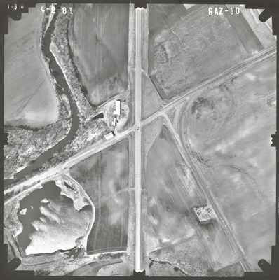
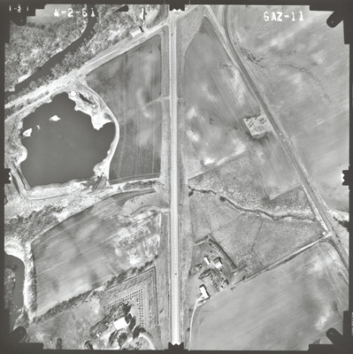
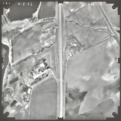
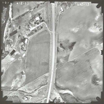
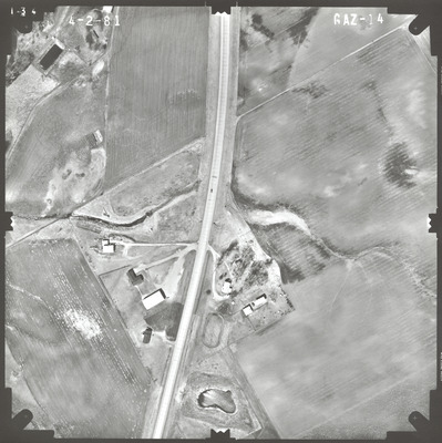
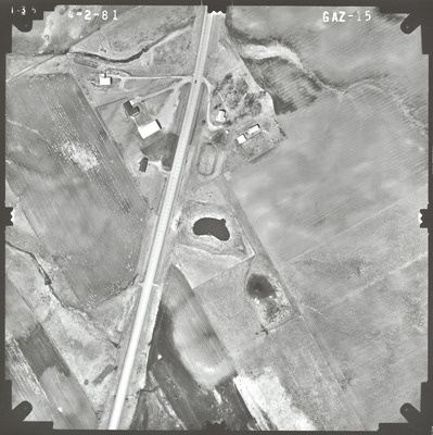
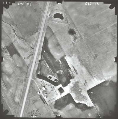
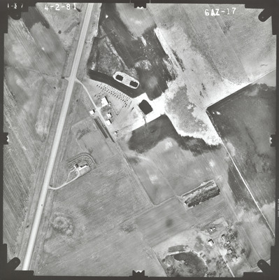
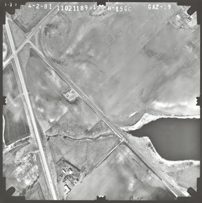
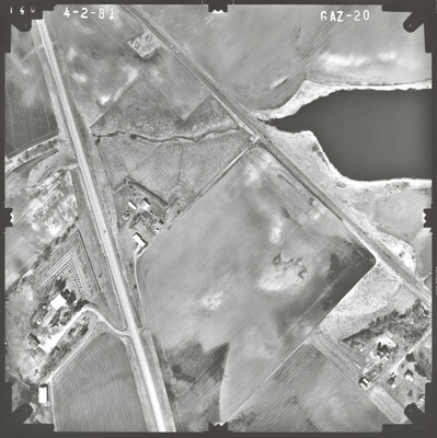
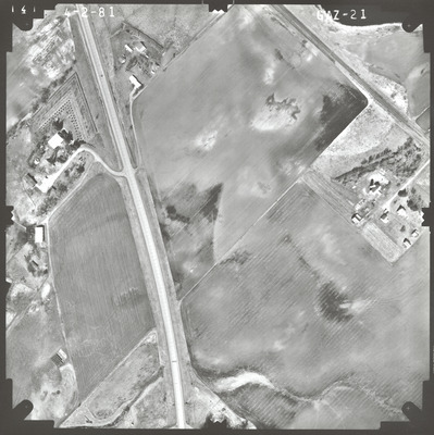
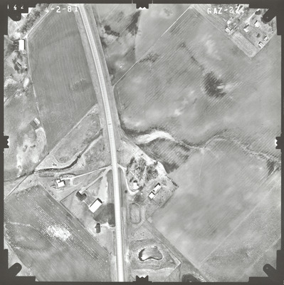
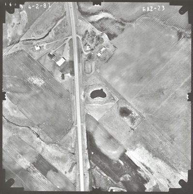
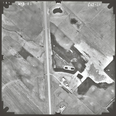
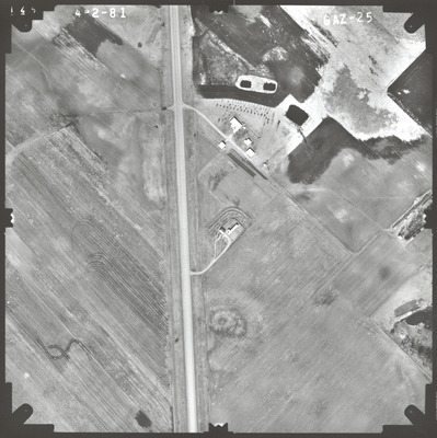
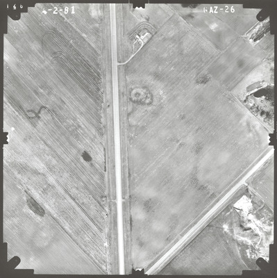
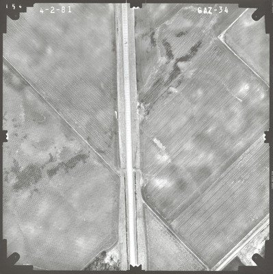
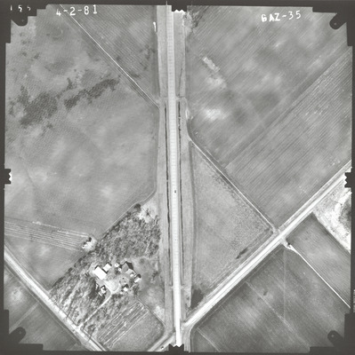
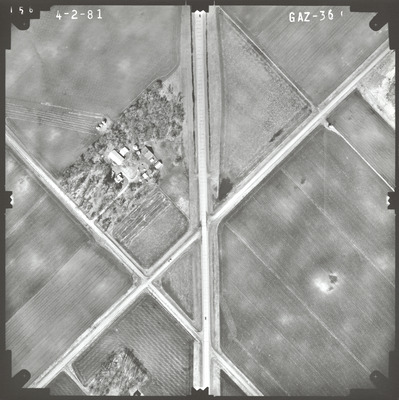
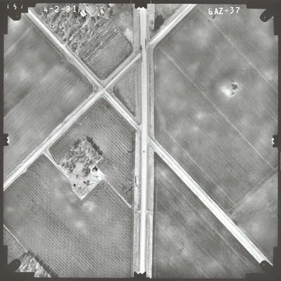
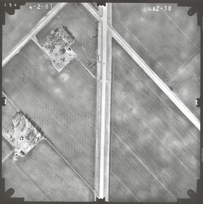
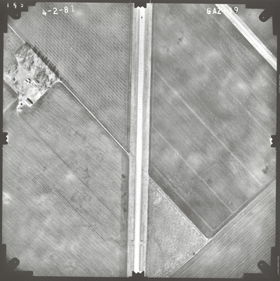
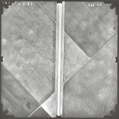
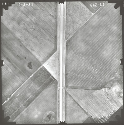
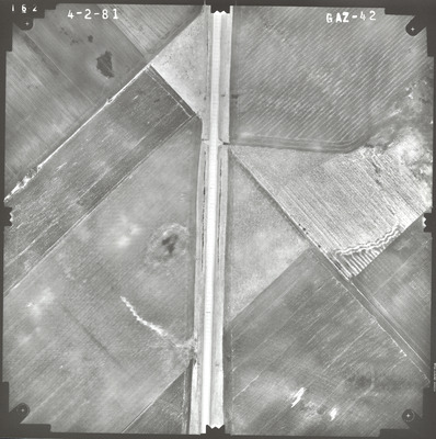
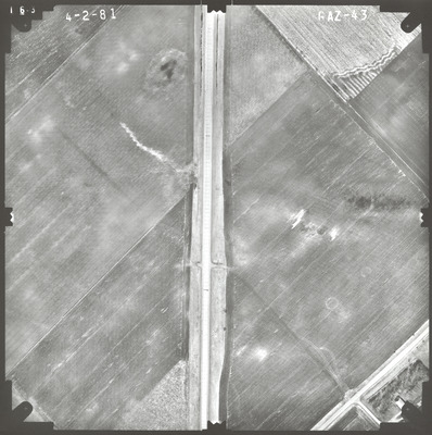
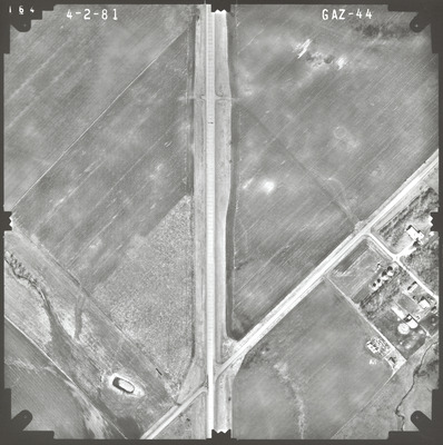
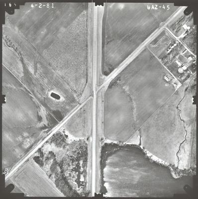
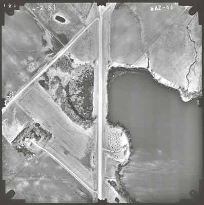
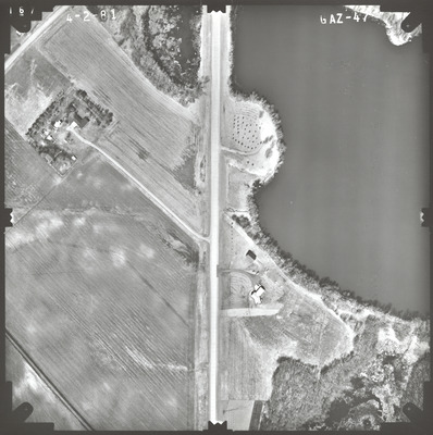
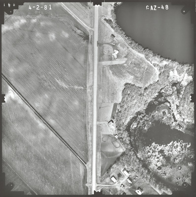
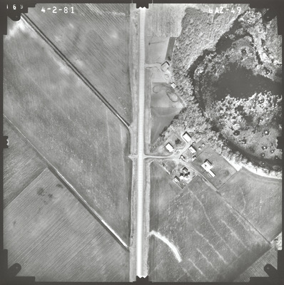
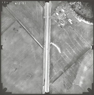
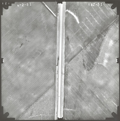
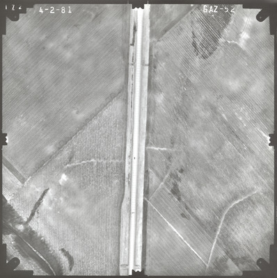
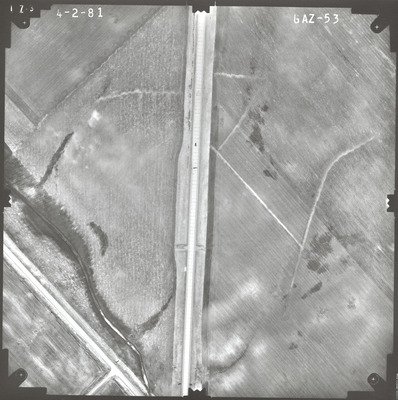
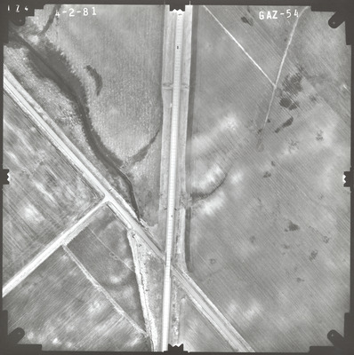
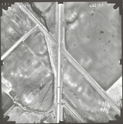
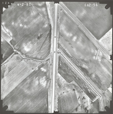
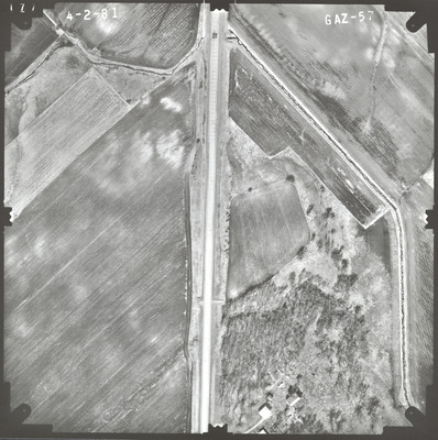
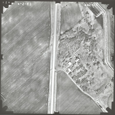
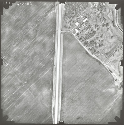
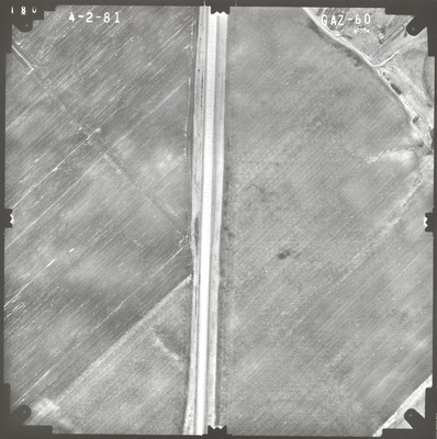
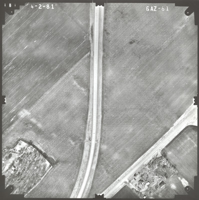
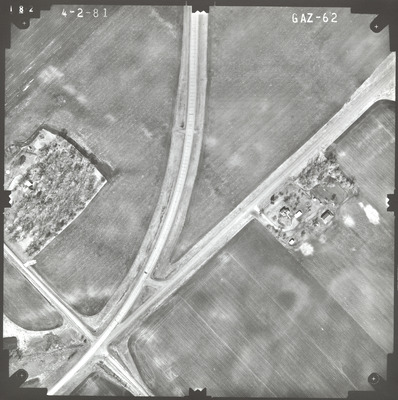
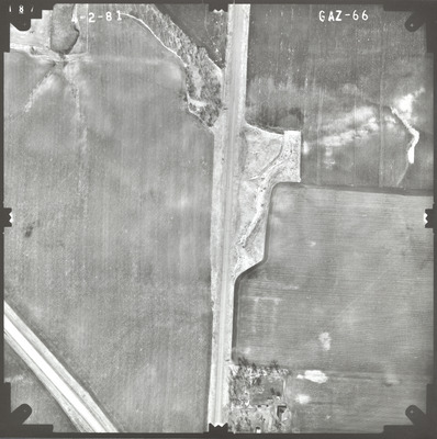
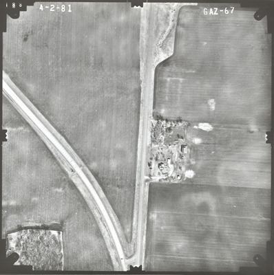
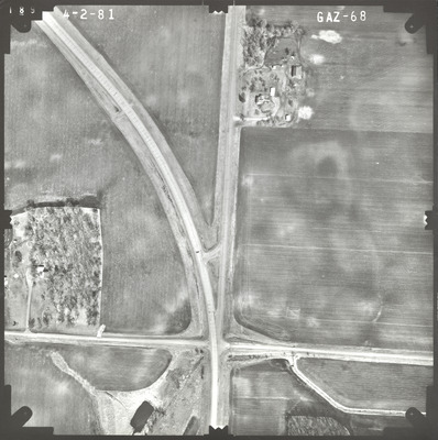
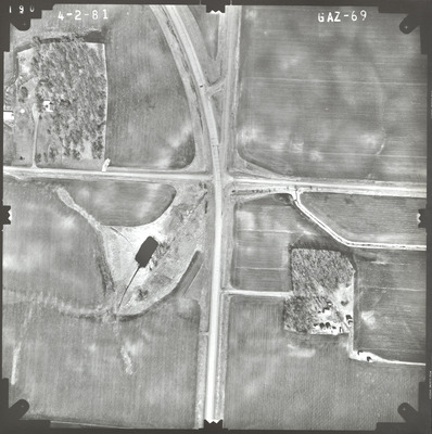
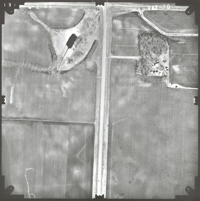
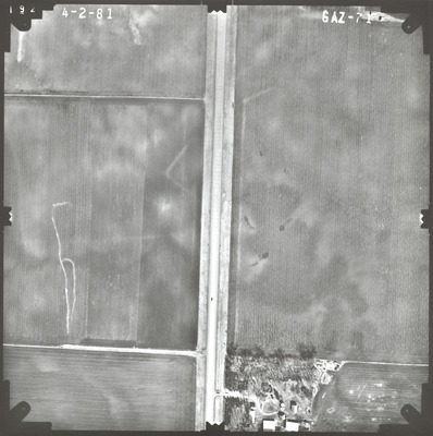
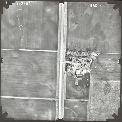
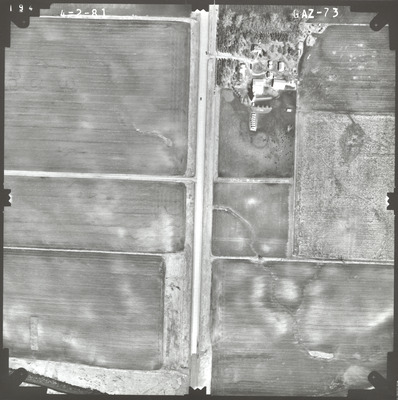
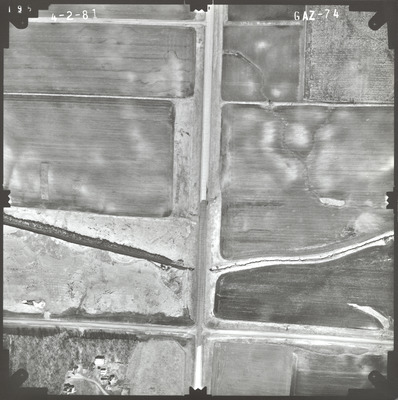
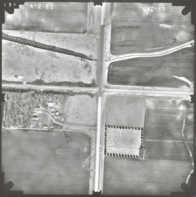
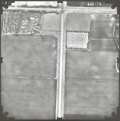
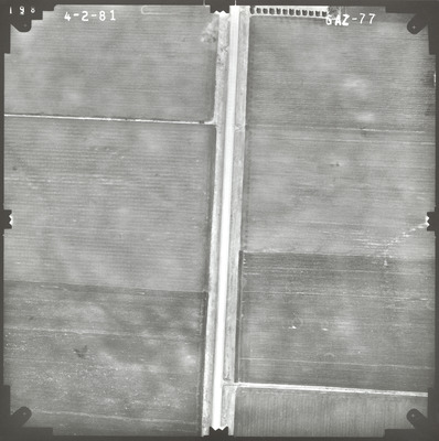
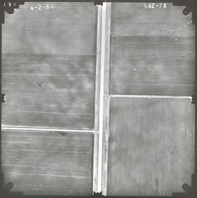
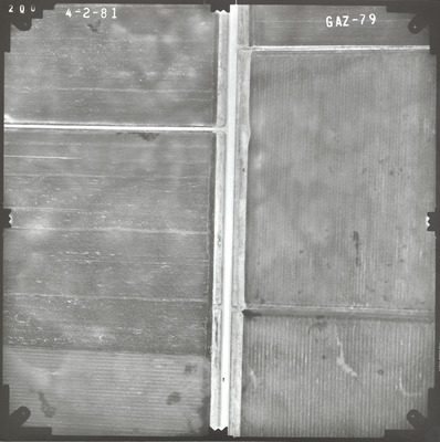
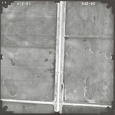
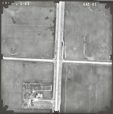
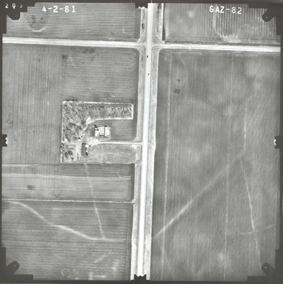
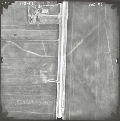
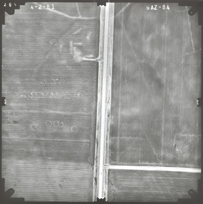
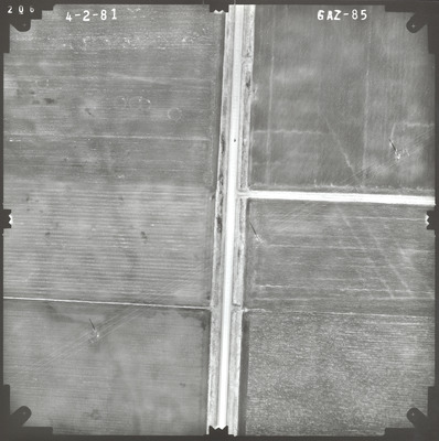
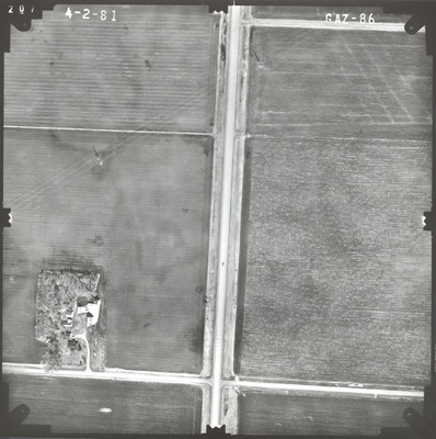
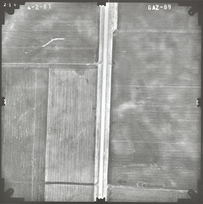
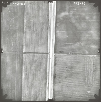
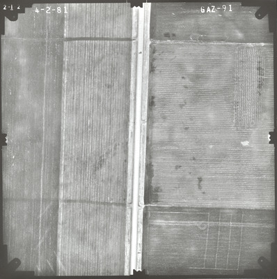
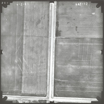
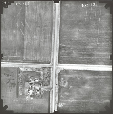
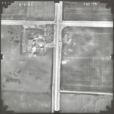
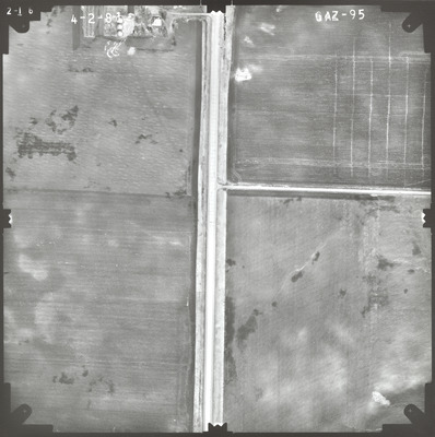
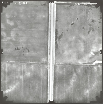
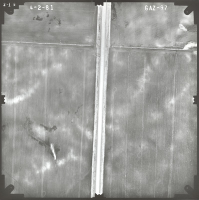
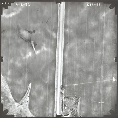
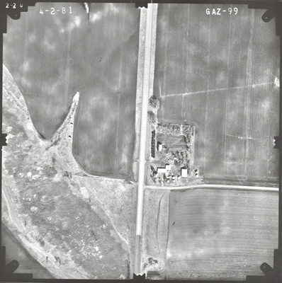
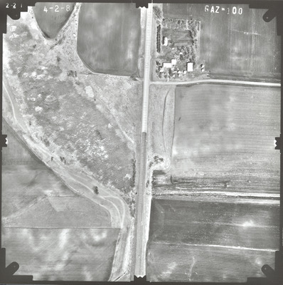
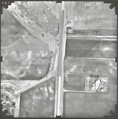
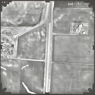
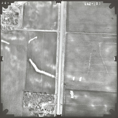
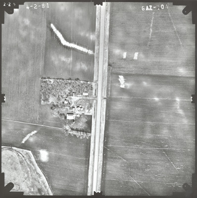
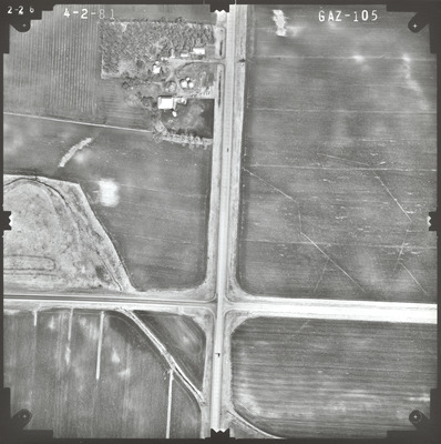
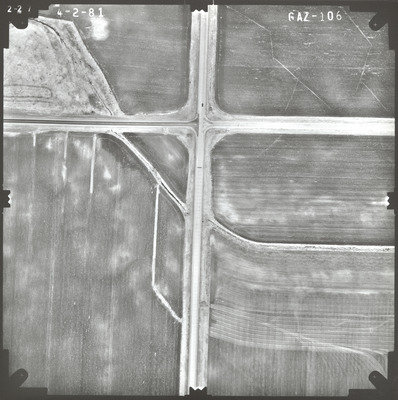
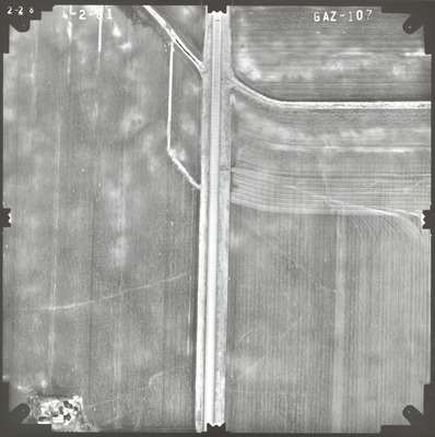
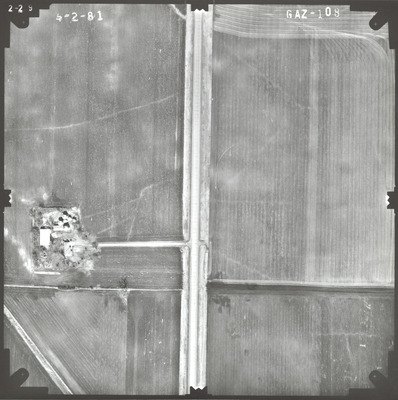
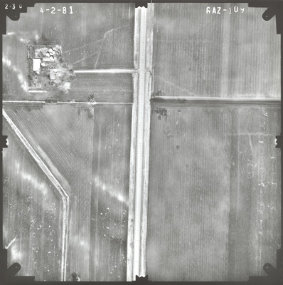
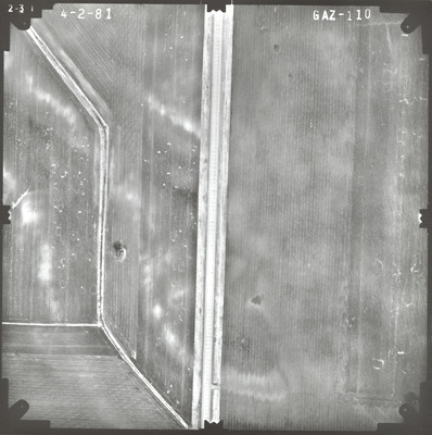
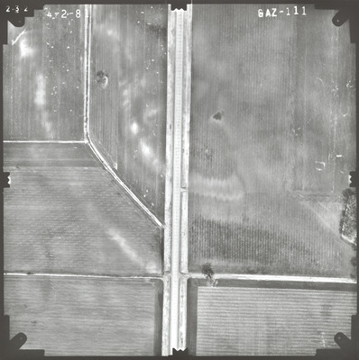
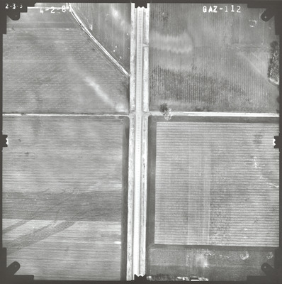
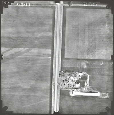
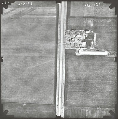
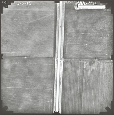
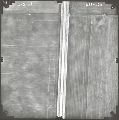
Aerial survey project no. 81S-33 was flown on April 2 and May 6, 1981. These photos are a verbal scale of 1"=250'. The flight lines provide coverage for highway 71 from Windom to Jackson. Please note the air photos flown on May 6 have the misprinted year 1980.
Printing is not supported at the primary Gallery Thumbnail page. Please first navigate to a specific Image before printing.


