

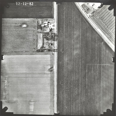
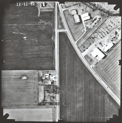
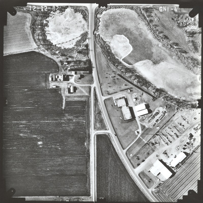
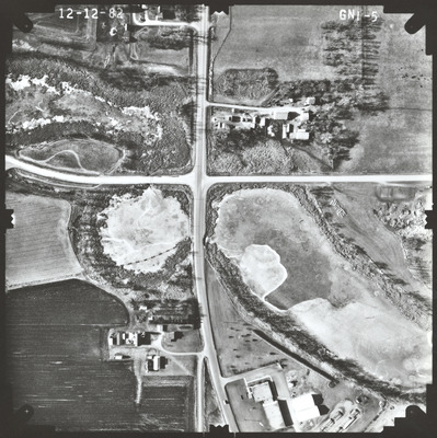
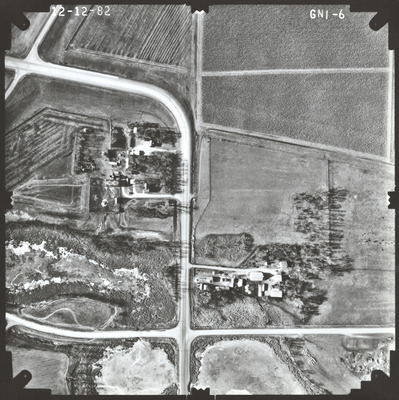
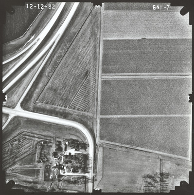
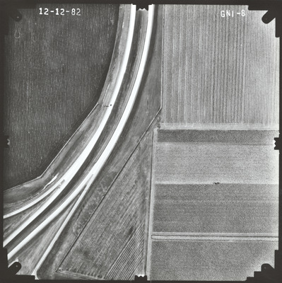
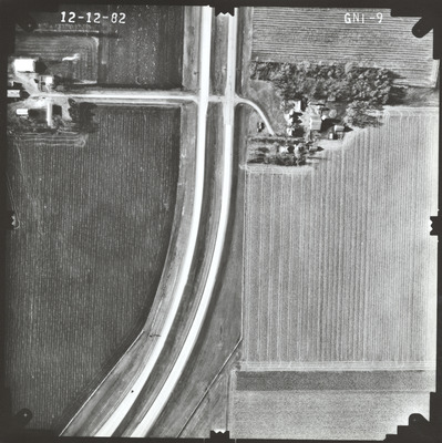
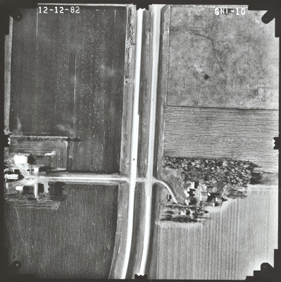
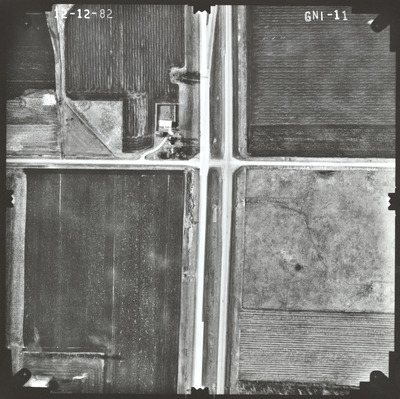
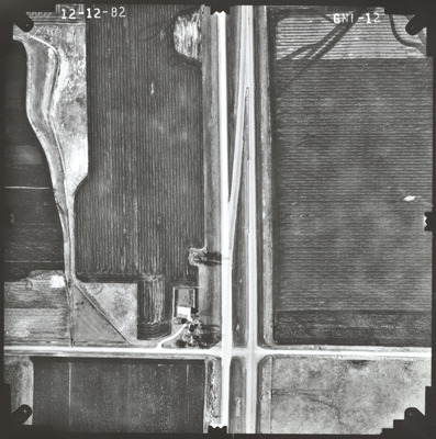
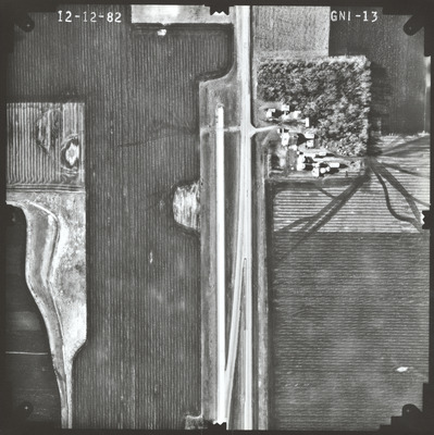
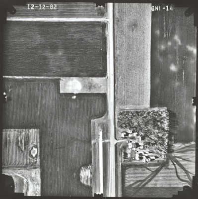
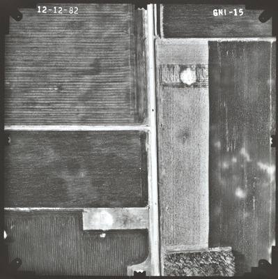
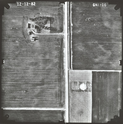
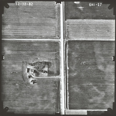
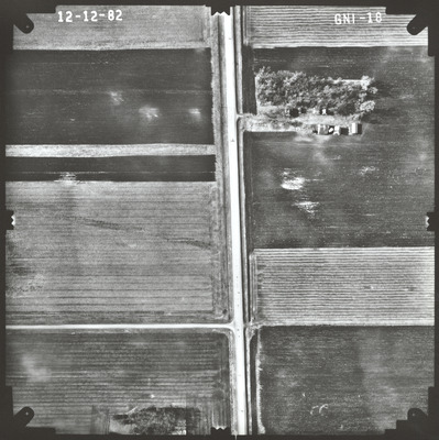
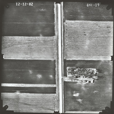
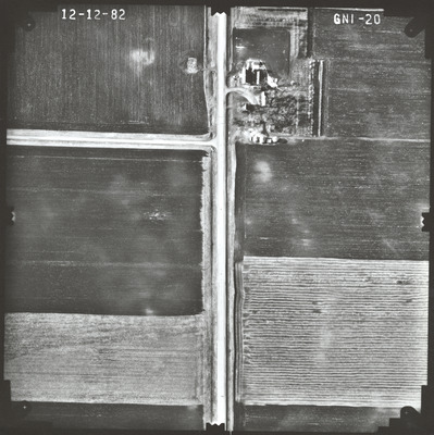
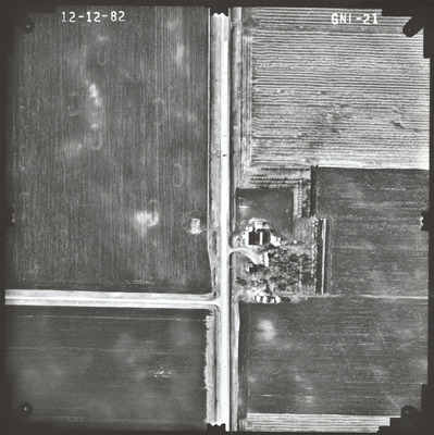
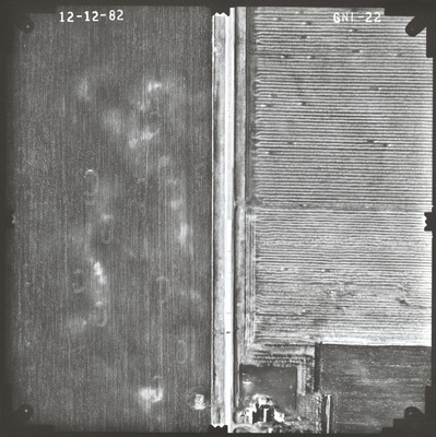
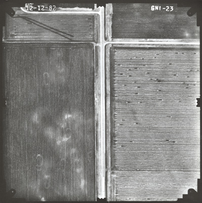
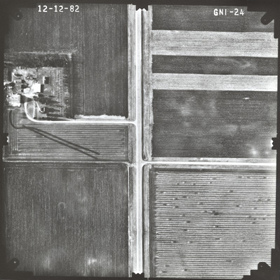
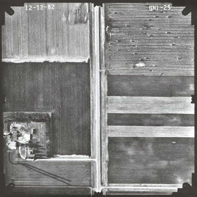
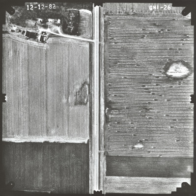
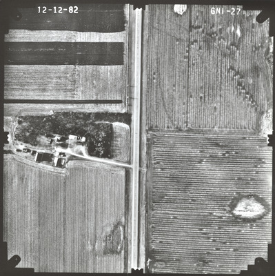
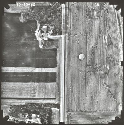
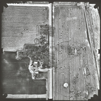
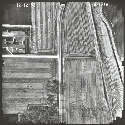
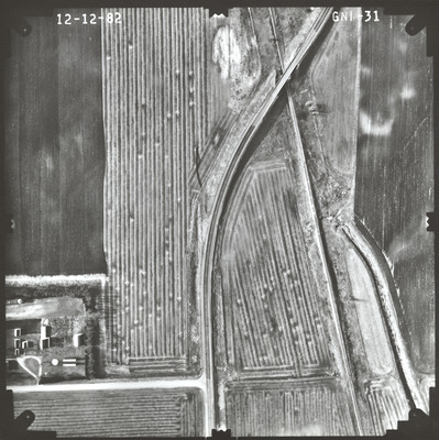
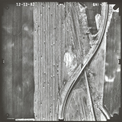
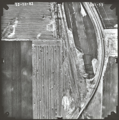
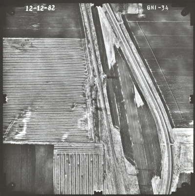
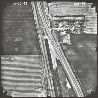
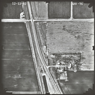
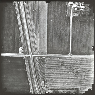
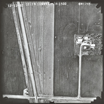
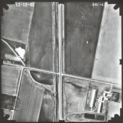
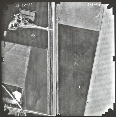
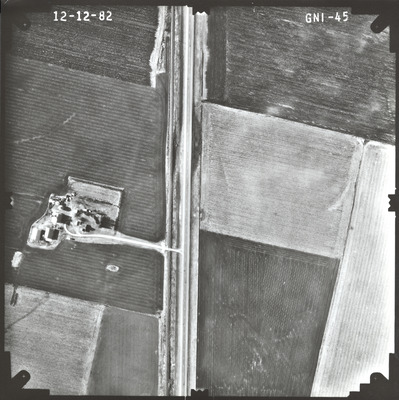
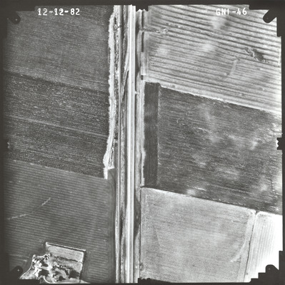
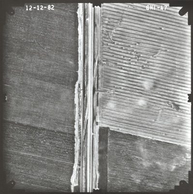
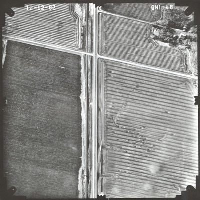
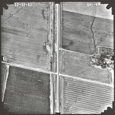
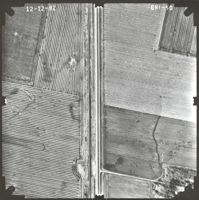
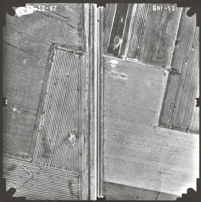
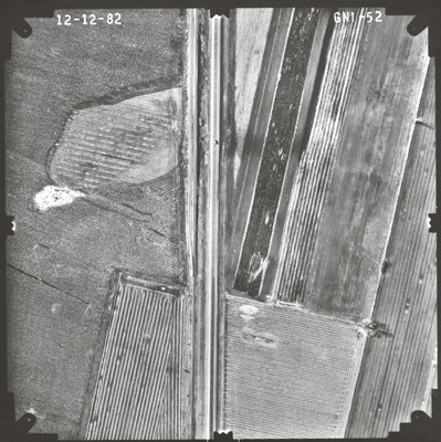
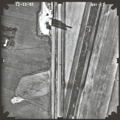
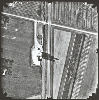
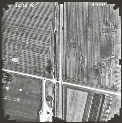
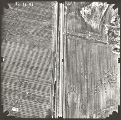
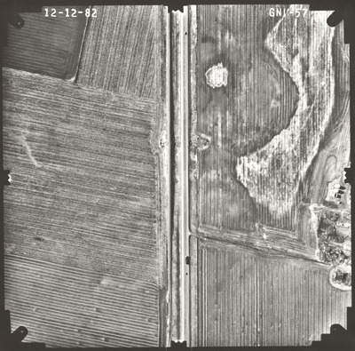
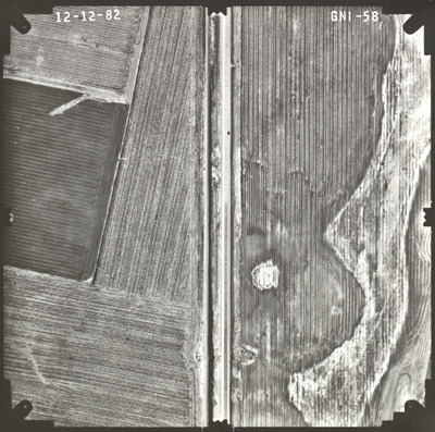
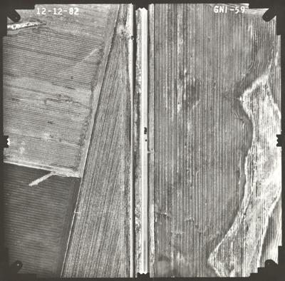
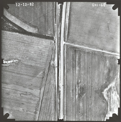
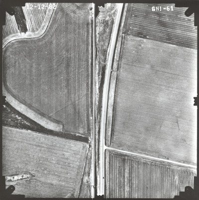
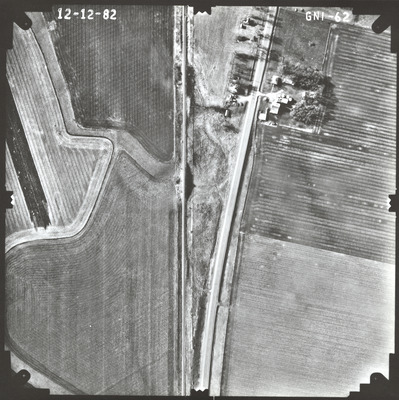
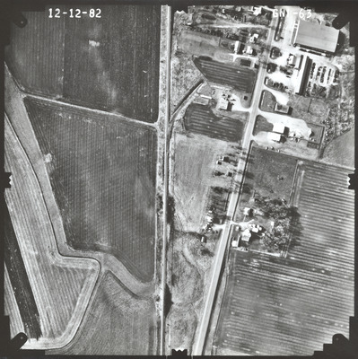
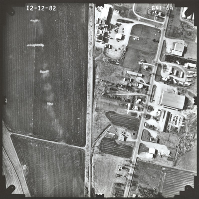
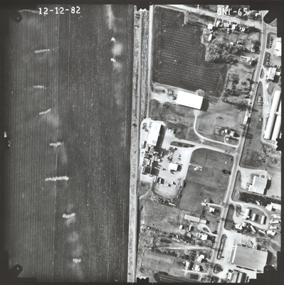
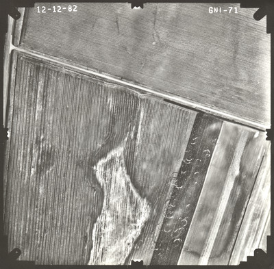
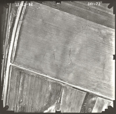
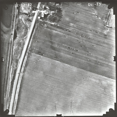
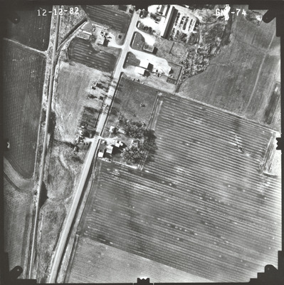
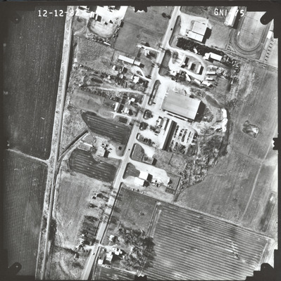
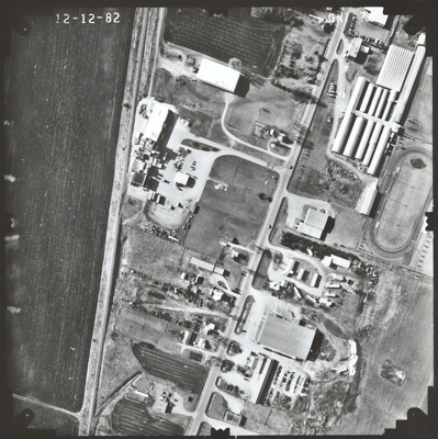
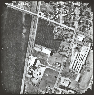
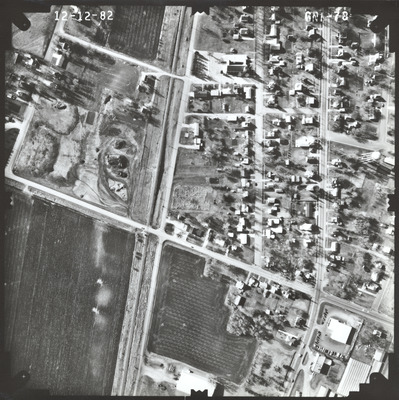
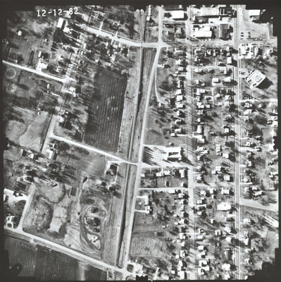
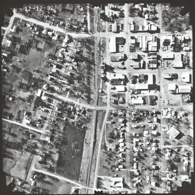
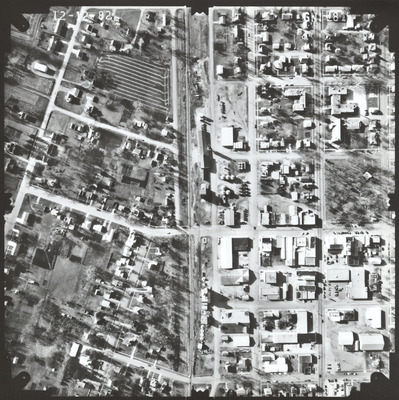
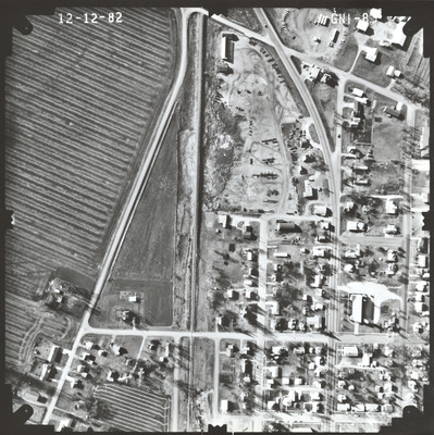
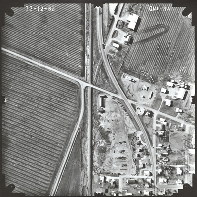
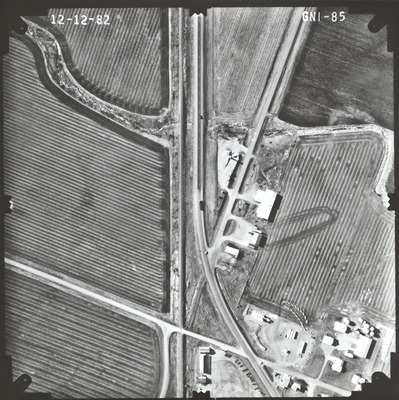
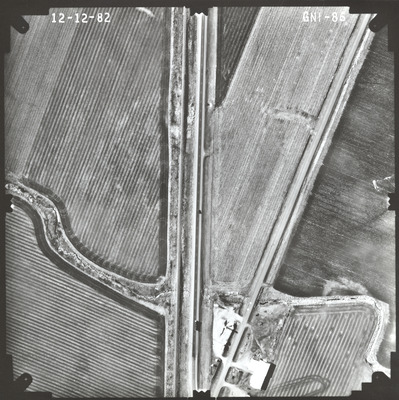
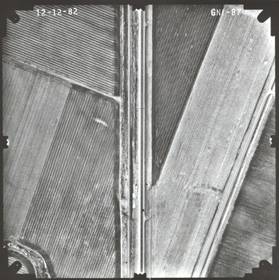
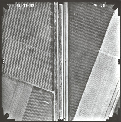
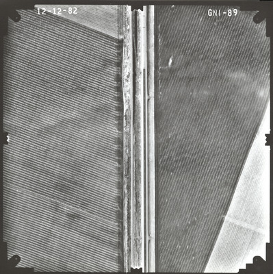
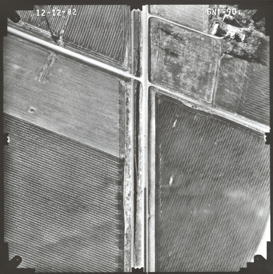
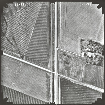
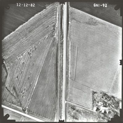
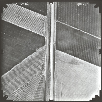
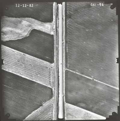
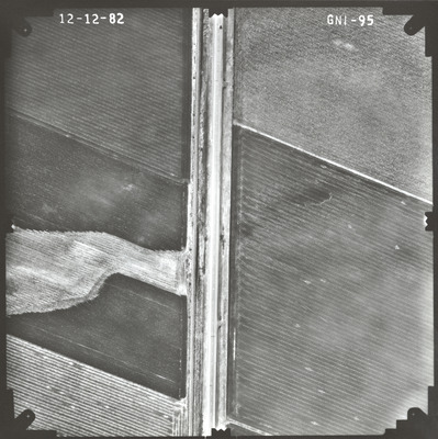
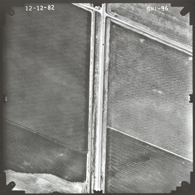
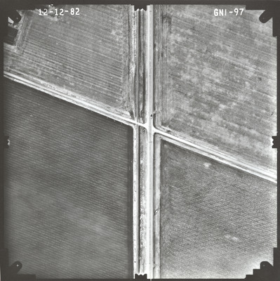
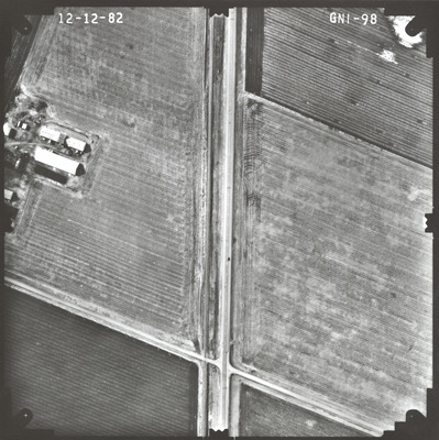
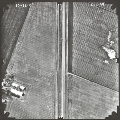
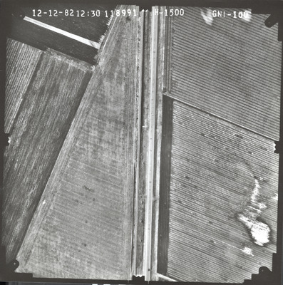
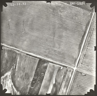
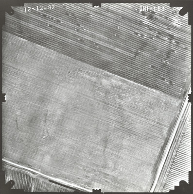
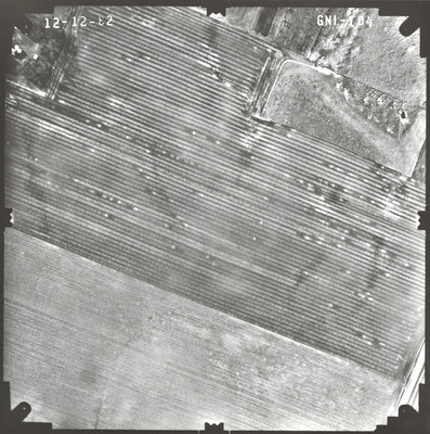
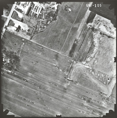
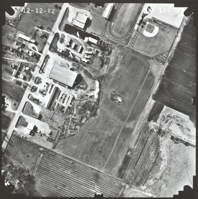
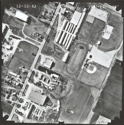
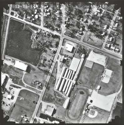
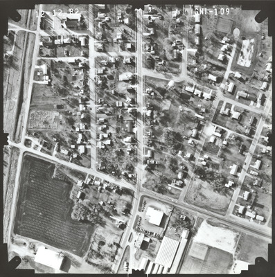
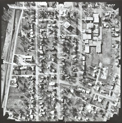
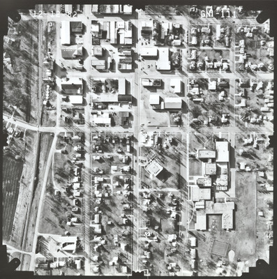
Aerial survey project no. 82F-44 was flown on December 12, 1982. These photos are a verbal scale of 1"=250'. The flight lines provide coverage for highway 60 from the junction with highway 5 at St. James to 2 miles west of Mountain Lake.
Printing is not supported at the primary Gallery Thumbnail page. Please first navigate to a specific Image before printing.


