

Preview
Flight Code
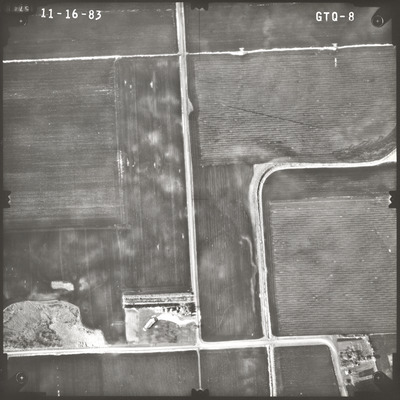
GTQ
Date Flown
Fall 11-16-1983
Aerial Survey Project No. (A.S.P. No.)
83F-50
County
Watonwan
Trunk Highway (T.H.)
60
Location
Proposed Borrow Area S. of Butterfield
Center Latitude
43°56'58.62"N
Center Longitude
94°48'12.80"W
Scale
1’’=400’
Flight Height
2400
Notes
Note on front includes pencil lines drawn down the center of the photo, both vertical and horizontal, to find the principal point.
Work Order No.
11
Agreement No.
61635
State Project No.
8308-34
Lens Serial Number
98183
Focal Length
152.464 mm
Physical Format
Black and White Physical Aerial Photograph
Dimensions
9 x 9
Item Type
Still Image
Collection Name
Minnesota Department of Transportation District 7 Air Photo Collection, 1957-2006
Contributing Organization
Dr. Mary T. Dooley Map Library, Memorial Library, Minnesota State University, Mankato, P.O. Box 8419, Mankato, MN 56002-8419
Contact Information
Dr. Mary T. Dooley Map Library, Memorial Library, Minnesota State University, Mankato, P.O. Box 8419, Mankato, MN 56002-8419
Creative Commons License

This work is licensed under a Creative Commons Attribution-NonCommercial 4.0 International License
Scanning Center
Dr. Mary T. Dooley Map Library, Memorial Library, Minnesota State University, Mankato, P.O. Box 8419, Mankato, MN 56002-8419
Object File Name
MnDOT_1983_83F-50_GTQ-8.tif
Date Digital
2023-02-03
Item Digital Format
Image/tiff
Master File Format
Image/tiff
Master File Size
110882430
Master File Bit Depth
24
Master File Resolution
800 dpi
Master File Width
7360
Master File Height
7353
Master File Hardware
Epson Expression 10000XL
Master File Software
VueScan
Master File System
Windows 10
Master File Checksum
bbcec89abf73056aedc4878fedf19bb3
Keywords
mndot, air photos, aerial photography, 1983, butterfield, stream, marsh, field tiling

