

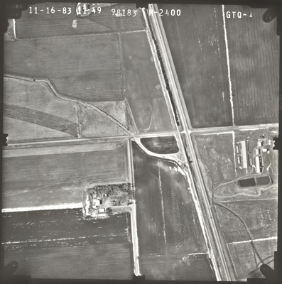
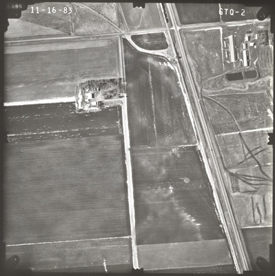
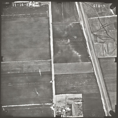
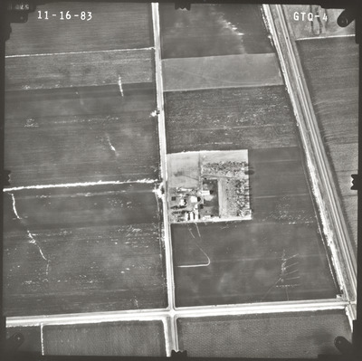
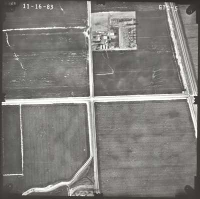
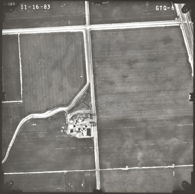
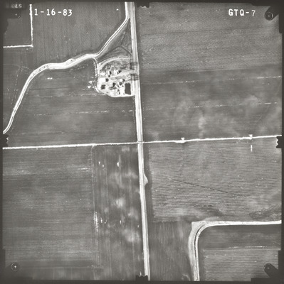
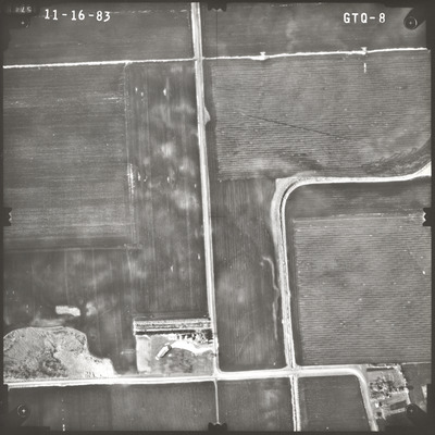
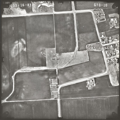
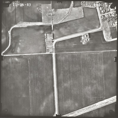
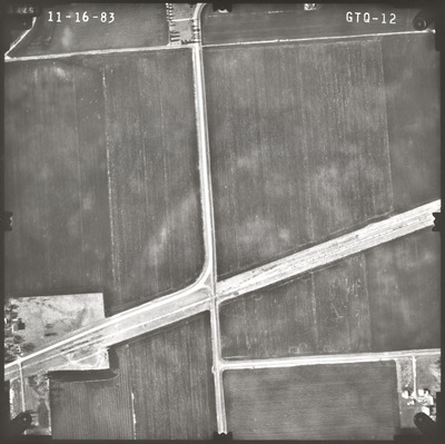
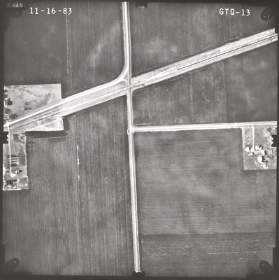
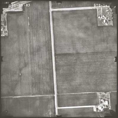
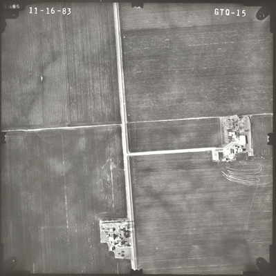
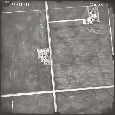
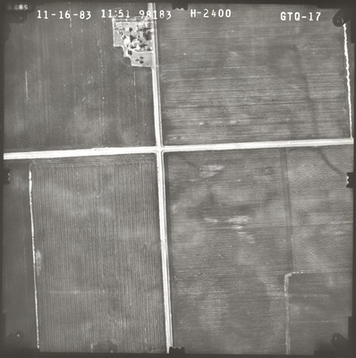
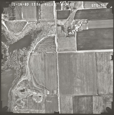
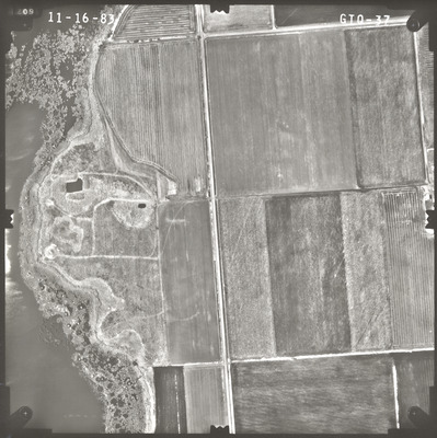
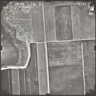
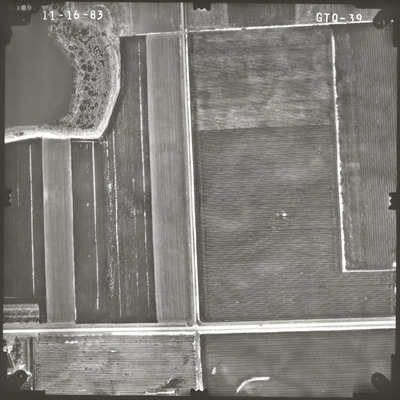
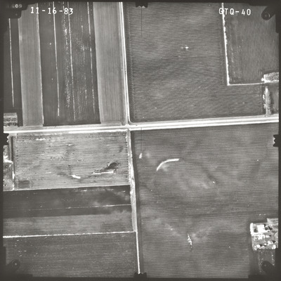
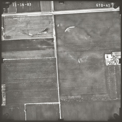
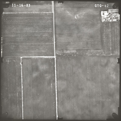
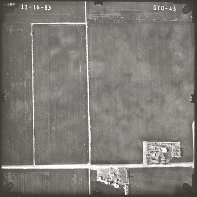
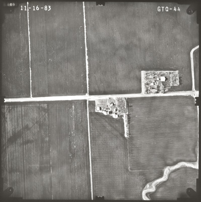
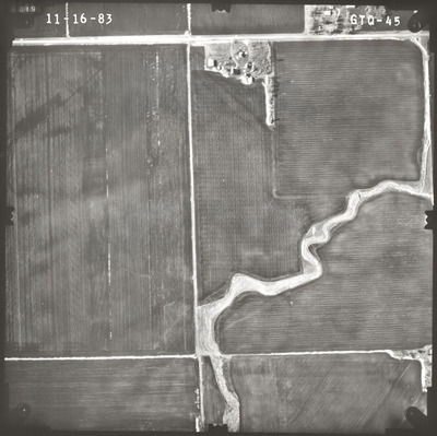
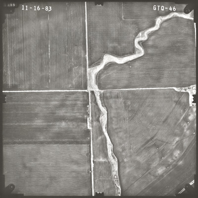
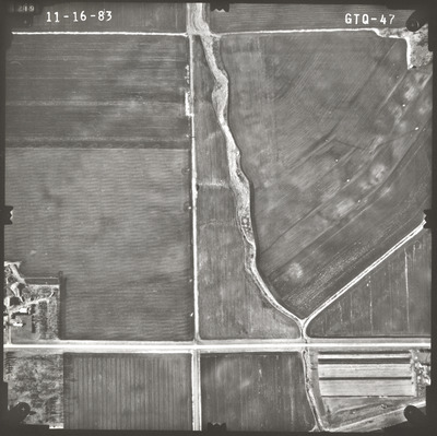
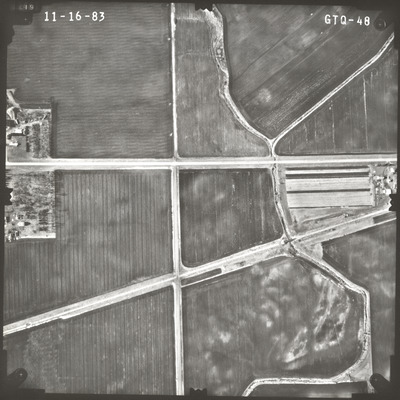
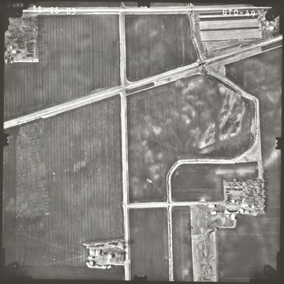
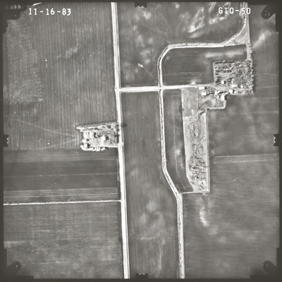
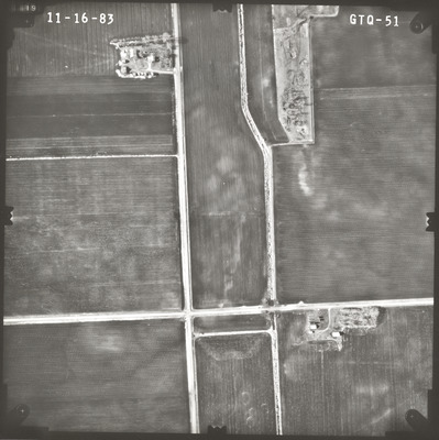
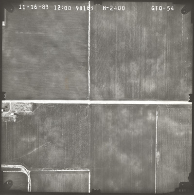
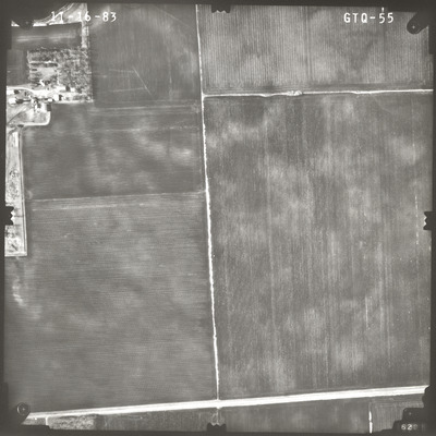
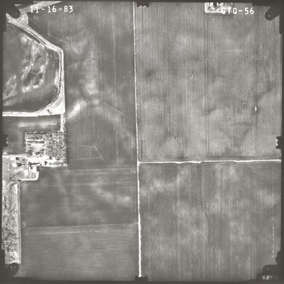
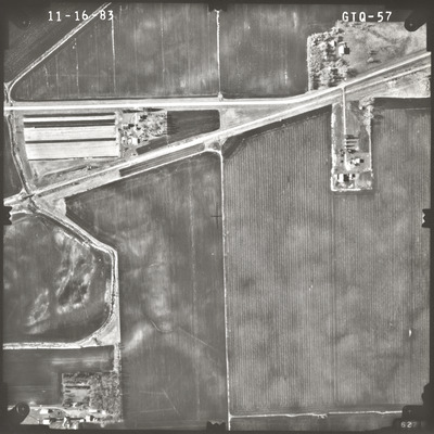
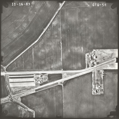
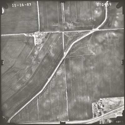
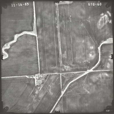
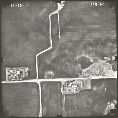
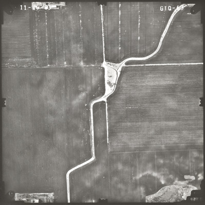
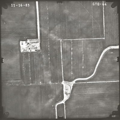
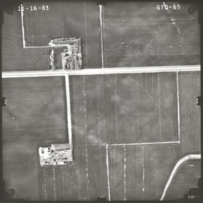
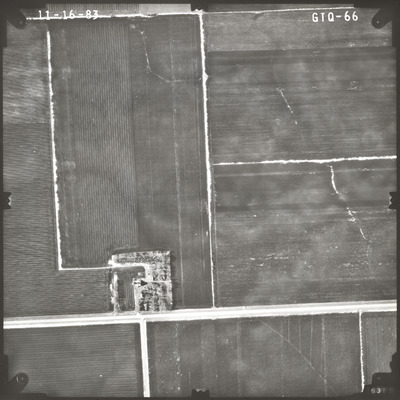
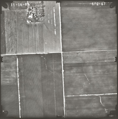
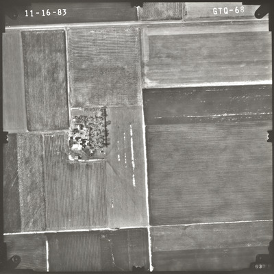
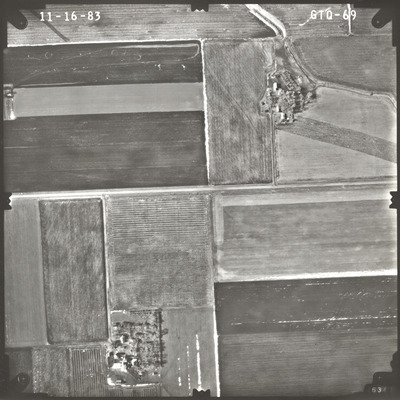
Aerial survey project no. 83F-50 was flown on November 16, 1983. These photos are a verbal scale of 1"=400'. The flight lines follow an east-west direction and provide coverage for highway 60 and the proposed borrow area south of Butterfield.
Printing is not supported at the primary Gallery Thumbnail page. Please first navigate to a specific Image before printing.


